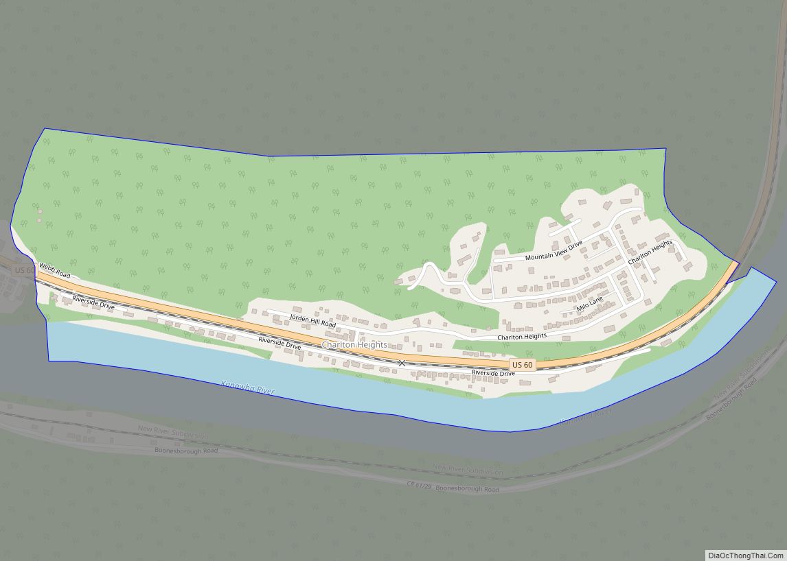
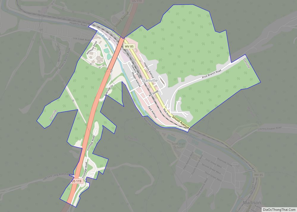
Map of Rachel CDP, West Virginia

Map of Rachel CDP, West Virginia

Rachel is a census-designated place (CDP) in Marion County, West Virginia, United States. It is located along Buffalo Creek, 2 miles (3.2 km) east-southeast of Mannington. Rachel has a post office with ZIP code 26587. As of the 2010 census, its population was 248. Rachel is located on U.S. 250 between Farmington and Mannington. Rachel CDP … Read more

Map of Quinwood town

Map of Quinwood town

Quinwood is a town and former coal town in Greenbrier County, West Virginia, United States. The population was 220 at the 2020 census. The community’s name is an amalgamation of the names of its proprietors Quin Morton and W. S. Wood. Quinwood town overview: Name: Quinwood town LSAD Code: 43 LSAD Description: town (suffix) State: … Read more

Map of Ripley city, West Virginia

Map of Ripley city, West Virginia

Ripley is a city in and the county seat of Jackson County, West Virginia, United States. The population was 3,074 at the 2020 census. Ripley city overview: Name: Ripley city LSAD Code: 25 LSAD Description: city (suffix) State: West Virginia County: Jackson County Elevation: 614 ft (187 m) Total Area: 3.29 sq mi (8.51 km²) Land Area: 3.18 sq mi (8.23 km²) Water … Read more

Map of Pullman town, West Virginia

Map of Pullman town, West Virginia

Pullman is a town in Ritchie County, West Virginia, United States. The population was 134 at the 2020 census. Pullman was platted in 1883, and named after George Pullman, a businessperson in the rail industry. Pullman town overview: Name: Pullman town LSAD Code: 43 LSAD Description: town (suffix) State: West Virginia County: Ritchie County Elevation: … Read more

Map of Ridgeley town

Map of Ridgeley town

Ridgeley is a town in Mineral County, West Virginia, United States, and part of the Cumberland Metropolitan Statistical Area. The population was 590 at the 2020 census. Ridgeley was initially known as St. Clairsville, named for Sir John St Clair, Lt Colonel and Quartermaster General for the British General Edward Braddock. St Clair accompanied Braddock … Read more

Map of Prosperity CDP, West Virginia

Map of Prosperity CDP, West Virginia

Prosperity is a census-designated place (CDP) in Raleigh County, West Virginia, United States. The population was 1,498 at the 2010 census. Prosperity CDP overview: Name: Prosperity CDP LSAD Code: 57 LSAD Description: CDP (suffix) State: West Virginia County: Raleigh County Elevation: 2,467 ft (752 m) Total Area: 2.5 sq mi (6.4 km²) Land Area: 2.5 sq mi (6.4 km²) Water Area: 0.0 sq mi (0.0 km²) … Read more

Map of Richwood city, West Virginia

Map of Richwood city, West Virginia

Richwood is a city in Nicholas County, West Virginia, United States. In 2020, the census showed Richwood with a population of 1,661. During the 19th and early 20th century Richwood was a booming coal and lumber town. Richwood has a very rich history, including the formation of the Cherry River Navy civic organization to draw … Read more

Map of Princeton city, West Virginia

Map of Princeton city, West Virginia

Princeton, is a city in and the county seat of Mercer County, West Virginia, United States. The population was 5,872 at the 2020 census. It is part of the Bluefield micropolitan area. The city hosts the Princeton WhistlePigs baseball club of the Appalachian League. Princeton city overview: Name: Princeton city LSAD Code: 25 LSAD Description: … Read more

Map of Scarbro CDP

Map of Scarbro CDP

Scarbro is a census-designated place (CDP) and coal town in Fayette County, West Virginia, United States. Scarbro is 1.5 miles (2.4 km) southwest of Oak Hill. Scarbro has a post office with ZIP code 25917. As of the 2010 census, its population was 486. The community was named for the fact a large share of the … Read more

Map of Sarah Ann CDP

Map of Sarah Ann CDP

Sarah Ann is a census-designated place (CDP) in Logan County, West Virginia, United States. The CDP includes the unincorporated community of Sarah Ann, plus the neighboring communities of Crystal Block and part of Stirrat. As of the 2010 census, the population of the CDP was 345. Sarah Ann CDP overview: Name: Sarah Ann CDP LSAD … Read more

Map of Sand Fork town

Map of Sand Fork town

Sand Fork is a town in Gilmer County, West Virginia, United States. The population was 182 at the 2020 census. It is located along the Little Kanawha River, at the mouth of the Sand Fork. Sand Fork was incorporated in 1903 as Layopolis, named for William R. Lay, an employee of the Eureka Pipe Line … Read more

Map of Salt Rock CDP

Map of Salt Rock CDP

Salt Rock (also Saltrock) is a census-designated place (CDP) in southern Cabell County, West Virginia, United States. As of the 2010 census, its population was 388. It lies along West Virginia Route 10 southeast of the city of Huntington, the county seat of Cabell County. Its elevation is 581 feet (177 m). Although Salt Rock is unincorporated, … Read more