Clarksburg is a city in and the county seat of Harrison County, West Virginia, United States, in the north-central region of the state. The population of the city was 16,039 at the 2020 census, making it the tenth-largest city in West Virginia. It is the principal city of the Clarksburg micropolitan area, which had a population of 90,434 in 2020. Clarksburg was named National Small City of the Year in 2011 by the National League of Cities.
| Name: | Clarksburg city |
|---|---|
| LSAD Code: | 25 |
| LSAD Description: | city (suffix) |
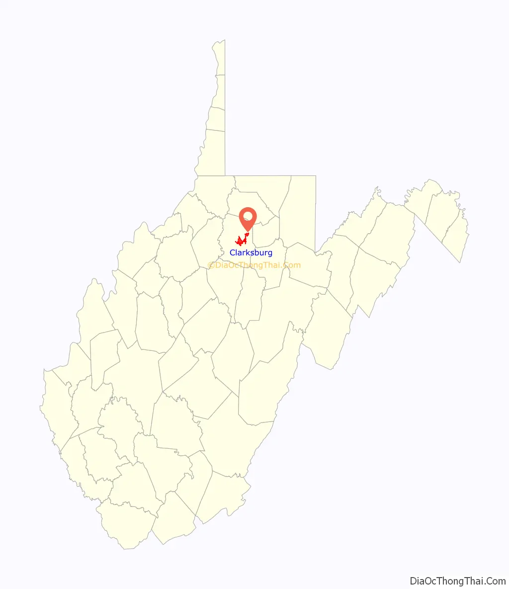
| State: | West Virginia |
| County: | Harrison County |
| Elevation: | 994 ft (303 m) |
| Land Area: | 9.71 sq mi (25.16 km²) |
| Water Area: | 0.00 sq mi (0.00 km²) |
| Population Density: | 1,567.49/sq mi (605.20/km²) |
| Area code: | 304 |
| FIPS code: | 5415628 |
| GNISfeature ID: | 1537358 |
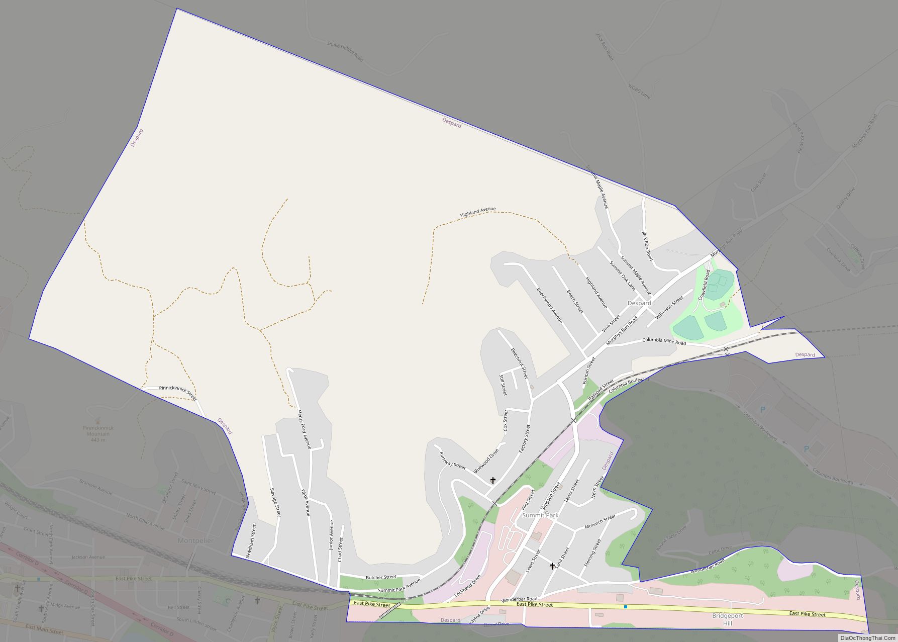
Online Interactive Map
Click on ![]() to view map in "full screen" mode.
to view map in "full screen" mode.
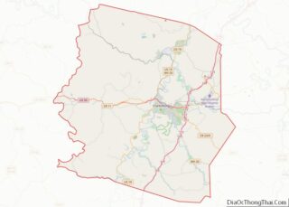
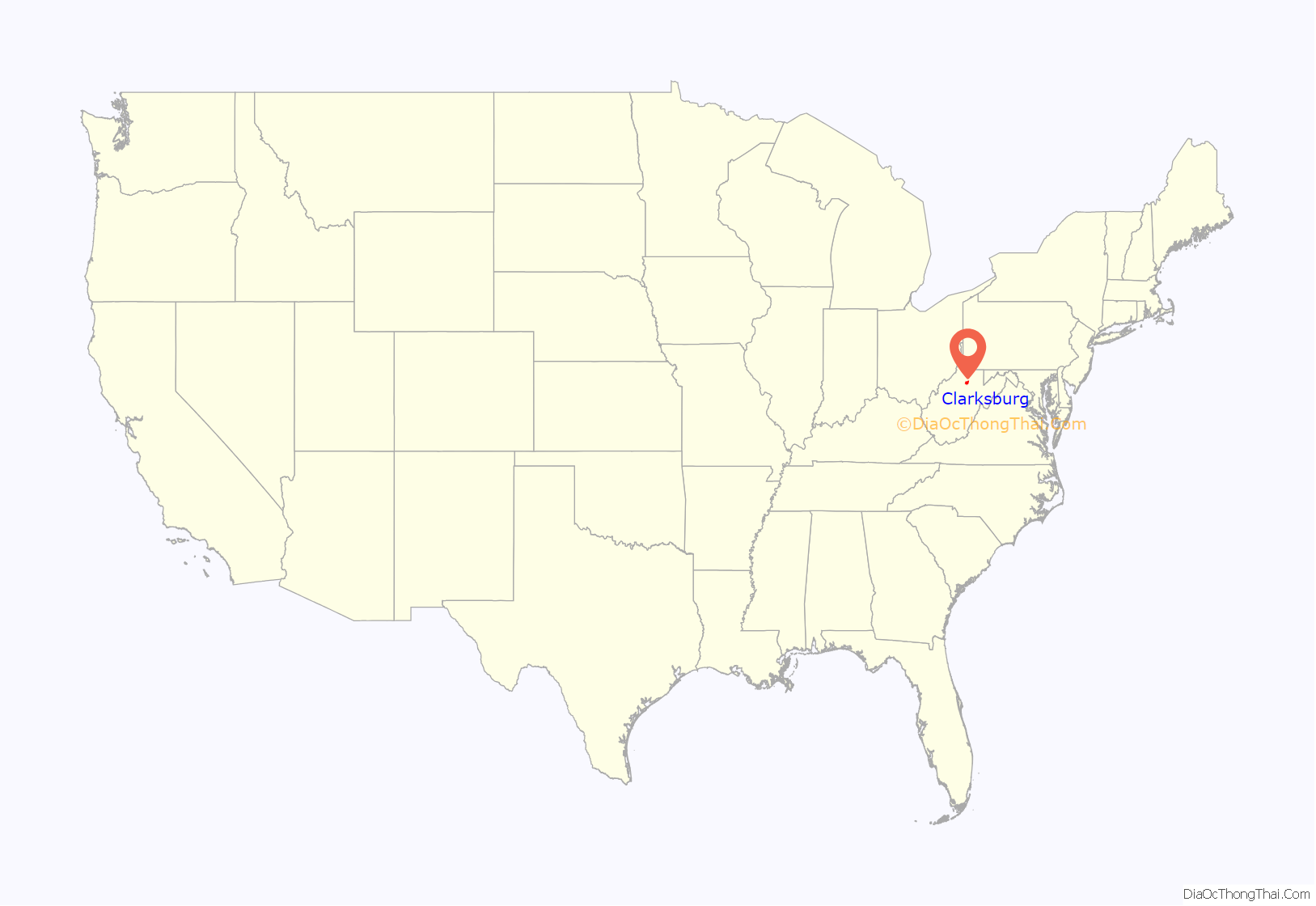
Clarksburg location map. Where is Clarksburg city?
History
Indigenous peoples have lived in the area for thousands of years. The Oak Mounds outside Clarksburg were created by the Hopewell culture mound builders between 1 and 1000 C.E.
The first known non-indigenous visitor to the area that later became Clarksburg was John Simpson, a trapper, who in 1764 located his camp on the West Fork River opposite the mouth of Elk Creek at approximately 39°16′53″N 80°21′05″W / 39.28128°N 80.35145°W / 39.28128; -80.35145 (39.28128, -80.35145)
Settlement and early history
As early as 1772, settlers began claiming lands near where Clarksburg now stands, and building cabins. In 1773, Major Daniel Davisson (1748-1819) took up 400 acres (1.6 km), upon which the principal part of the town is now located. By 1774, people settling near present Clarksburg included: Daniel Davisson, Obadiah Davisson (Daniel’s father), Amaziah Davisson (Daniel’s uncle), Thomas, John, and Matthew Nutter, Samuel and Andrew Cottrill (brothers), Sotha Hickman, and Samuel Beard. Undoubtedly, others located on these public lands, of which no official records were made. The Virginia General Assembly authorized the town of Clarksburg in 1785. Now a city, it is named for General George Rogers Clark, a Virginian who conducted many expeditions against the British and Indians during the Indian Wars and the war of the American Revolution, including the strategically critical capture of the Forts of Vincennes, now in the State of Indiana, in 1778.
As now-President George Washington had proposed years earlier, the General Assembly also authorized a road from Winchester, Virginia to Morgantown in 1786, and a branch from this road (which decades later became the Northwestern Turnpike) would soon begin through Clarksburg toward the Little Kanawha River (which flows into the Ohio River at Parkersburg). In 1787, the Virginia General Assembly authorized the Randolph Academy at Clarksburg, a private school led by Rev. George Towers and the first west of the Alleghenies. However, although many here as the 19th century began wanted the National Road westward to follow McCulloch’s Path (improvements beginning after the Northwestern Turnpike company’s formal incorporation by the Virginia General Assembly in 1827), Congress instead authorized construction on an easier route (Nemacolin’s Path) through Maryland and Wheeling, which opened in 1818.
Construction of the first Harrison County courthouse began in Clarksburg in 1787. That building was followed by four increasingly larger courthouses; the most recent one completed in 1932. The first Court House stood on what is now the North East Corner of Second and Main Streets; the jail stood on the opposite side of Main Street near where the Presbyterian church now stands.
Relatively poor transportation slowed northwestern Virginia’s development, so subscribers in Winchester, Romney, Kingwood, Clarksburg, Parkersburg and other towns en route caused the Northwestern Turnpike to be built. While the toll road increased development around Clarksburg in the 1830s, it also used a relatively anachronistic model. Nonetheless, the Randolph Academy was razed and replaced by the Northwestern Academy in 1841, a year after stage coach service began between Clarksburg and Parkersburg on the Ohio River. Clarksburg’s development increased more a decade later due to new technology and further subscriptions. The Baltimore and Ohio Railroad reached Clarksburg from Grafton in 1856.
Two of the modern city’s historic buildings date from this prewar era. The Stealey-Goff-Vance House, now owned by the Harrison County Historical Society, was originally constructed in 1807, expanded in 1891 and listed on the National Register of Historic Places in 1979. Waldomore was built beginning in 1839, served as the Clarksburg Public Library from 1931 to 1976 (when a new building was built next door for the majority of the collection), and added to the National Register in 1978.
Civil War
During the Virginia Secession Convention of 1861, both Harrison County delegates opposed secession initially, although delegate (and future U.S. Congressman) Benjamin Wilson abstained from the final vote (which approved the ordinance of secession). Its other delegate, John S. Carlile, became a leader of the Wheeling Convention which led to creation of the Restored Government of Virginia during the American Civil War (during which Carlile served as U.S. Senator), and ultimately creation of the State of West Virginia. On the other hand, Confederate General Stonewall Jackson had been born in Clarksburg in 1824.
Clarksburg’s citizenry also reflected this divide. Union General McClellan established his headquarters near Clarksburg until the First Battle of Bull Run. The B&O line made Clarksburg an important Union supply base throughout the war, with at one point more than 7000 troops in the city. It became a target of Confederate raiders, but none actually reached the city, instead striking surrounding areas with fewer defenders. The closest, most famous (and materially successful) raid, the Jones-Imboden Raid of April and May 1863, was designed to impede recognition of West Virginia (which became the 35th state of the Union anyway in June 1863).
Postwar industrialization
In 1877, Clarksburg became one of three cities from which West Virginia voters would select their new state capital. Despite its relatively central location and an early lead, it came in second; Charleston, West Virginia became and remains the state capital.
Around that time Clarksburg gained some industry and manufacturing, particularly involving glass and coal. The city grew slowly but steadily, and services increased apace. The still-functional Despard Building was built in 1870. Telephone service, the first in the state, began in Clarksburg in the mid-1880s. Native son Edwin Maxwell was the Republican nominee for Governor of West Virginia in the 1884 election, though he lost narrowly to Emanuel Willis Wilson. In 1887, Clarksburg laid its first six miles of water lines; downtown streets were lit by electricity in 1889. Nonetheless, in the late 1890s, a visitor called Clarksburg a “sleepy, moss-covered town.”
Clarksburg’s boom years began around the turn of the century, as coal and glass production increased. The population grew from 4,050 in 1900 to 27,869 in 1920, partly because in 1917 it annexed the previously independent surrounding communities of Adamston, Stealey, North View and Broad Oaks. The population may have reached 35,000 in 1929, before the Great Depression.
In 1894, the Traders’ Hotel was constructed, the grandest structure to date. Many buildings in the Clarksburg Downtown Historic District date from that era. In 1900, the first sewer lines were installed, and Main and Pike streets were paved with brick. In 1901, the city’s first trolley opened for business (it would cease operating in 1947). Merchants Smith, Brown and Company built an early department store beginning in 1890. The Northwestern Academy was razed in 1894 and the Towers School erected (which became the city’s high school). Merchants National Bank built a building in 1894 which later became the Community Bank. Clarksburg’s oldest bank, the Empire National Bank, built a seven-story headquarters in 1907. Other significant buildings include the Goff Building (1911), Municipal Building (1888), the Waldo Hotel (1901–1904), Robinson Grand (1912, 1940), Harrison County Courthouse (1931-1932), U.S. Post Office (1932), Masonic Temple (1911–1914), First United Presbyterian Church (1894), and First Methodist Church (1909, 1956).
An automobile had reached Clarksburg in 1902, and that technology fostered further development. In 1928, U.S. Route 50 was paved through Clarksburg. U.S. Interstate 79 would open in 1979 and connect Clarksburg with Charleston as well as Pennsylvania. In 1924, Clarksburg hosted a parade for its “native son”, John W. Davis, who had become the “dark horse” Democratic presidential candidate (but lost) to Republican incumbent Calvin Coolidge. The following year, Republican and former U.S. Secretary of Agriculture Howard M. Gore, became Governor of West Virginia. During the 1920s, Clarksburg’s Melville Davisson Post (1869-1930) may have been the country’s highest paid author, writing 17 novels including the characters of Randolph Mason and Uncle Abner.
As the Great Depression began, the Farmers Bank closed in 1929, and the Bank of West Virginia (which had opened in 1869) failed in 1933. Clarksburg’s population dropped to 30,579 by 1940, and further as the decade progressed. Former Gov. Gore served as state agricultural commissioner (1931–33) and later as Public Service Commissioner (1941–47).
However, Clarksburg managed to avoid urban blight and preserved much of the architecture it had gained during the “boom years”. It is now West Virginia’s tenth largest city. The West Virginia Preservation Alliance, the state’s first, was created in Clarksburg in 1981.
Mountaineer Militia
On October 11, 1996, seven men having connections with the Mountaineer Militia, a local anti-government paramilitary group, were arrested on charges of plotting to blow up the Federal Bureau of Investigation’s Criminal Justice Information Services Division complex in Clarksburg. While members of the group had been assembling large quantities of explosives and blasting caps, militia leader Floyd Raymond Looker obtained blueprints of the FBI facility from a Clarksburg firefighter. Plastic explosives were confiscated by law enforcement officials at five locations in West Virginia, Pennsylvania, and Ohio. Looker was taken into custody after arranging to sell the blueprints for $50,000 to an undercover FBI agent, whom he believed to be a representative of an international terrorist group. In 1998 Looker was sentenced to 18 years in prison. Two other defendants were sentenced on explosives charges, and the firefighter drew a year in prison for providing blueprints.
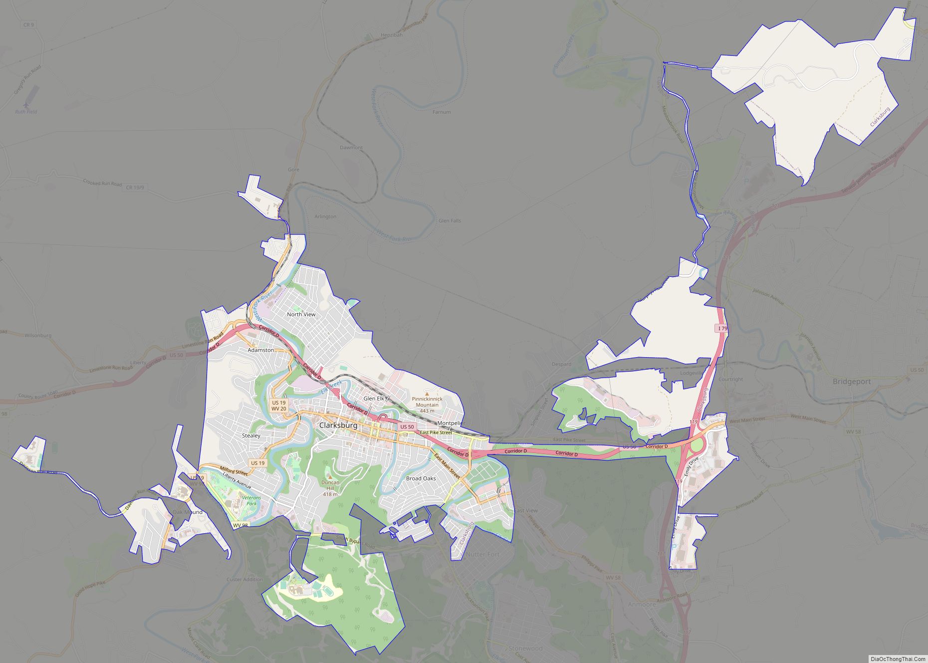
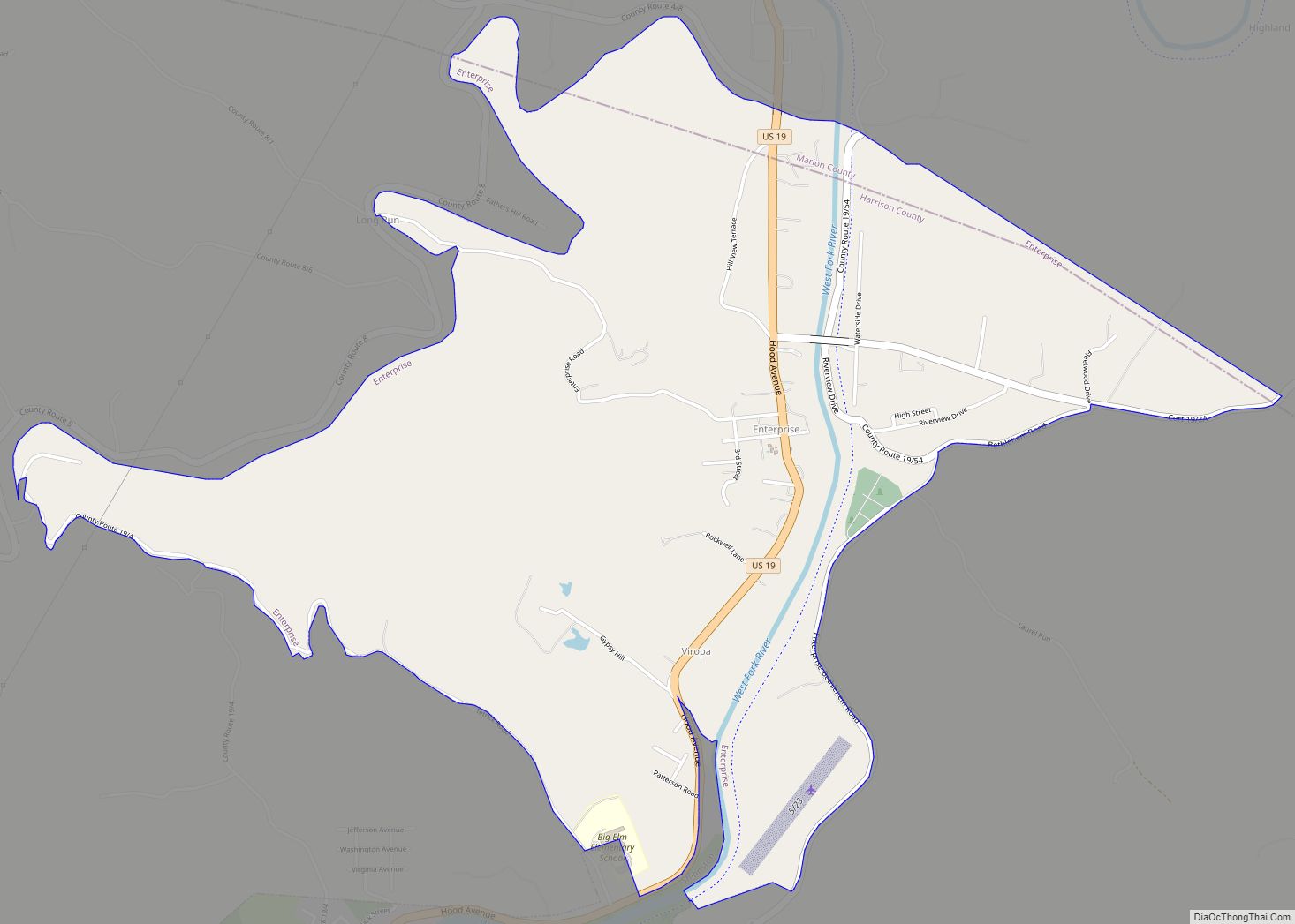
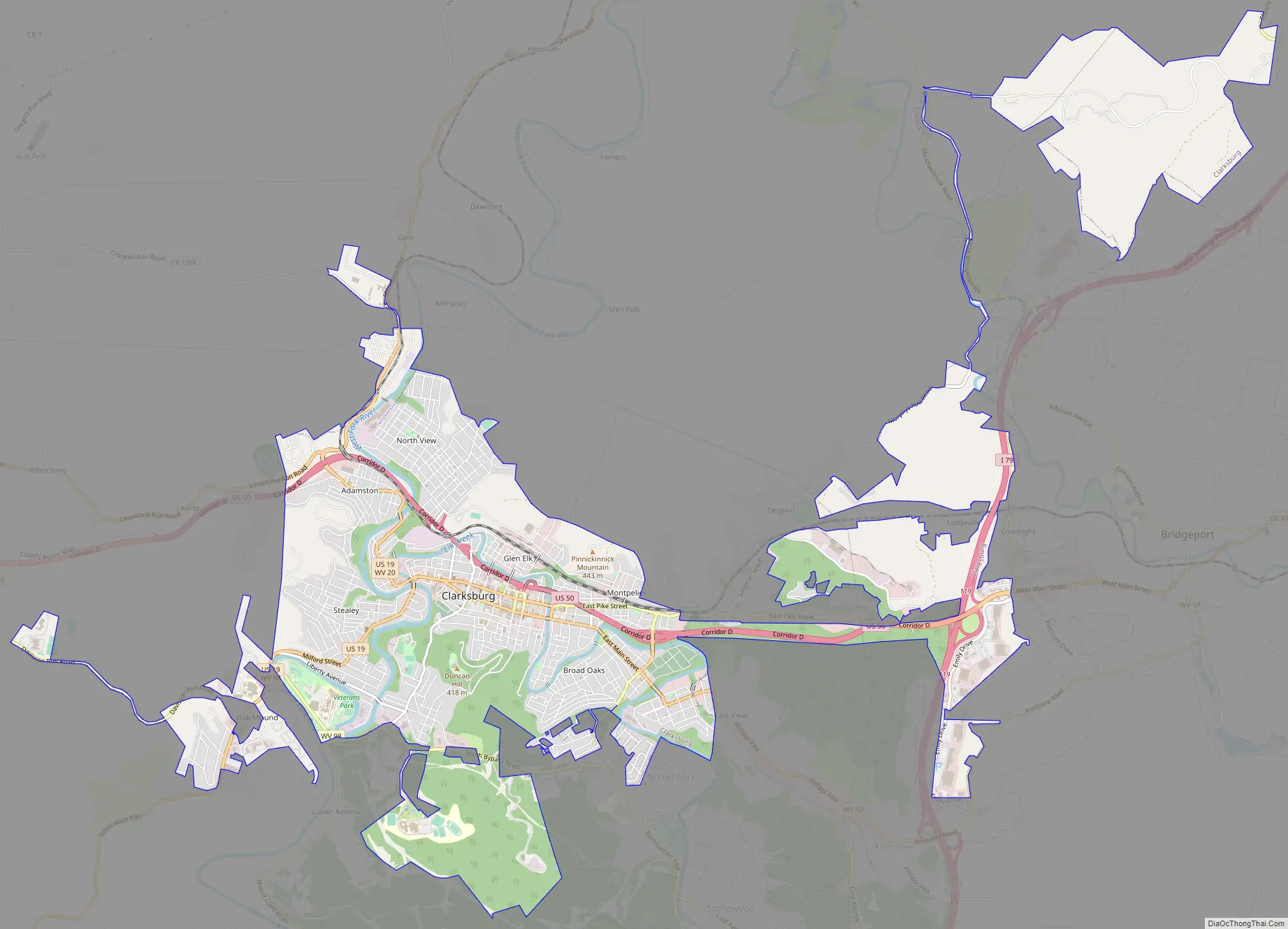
Clarksburg Road Map
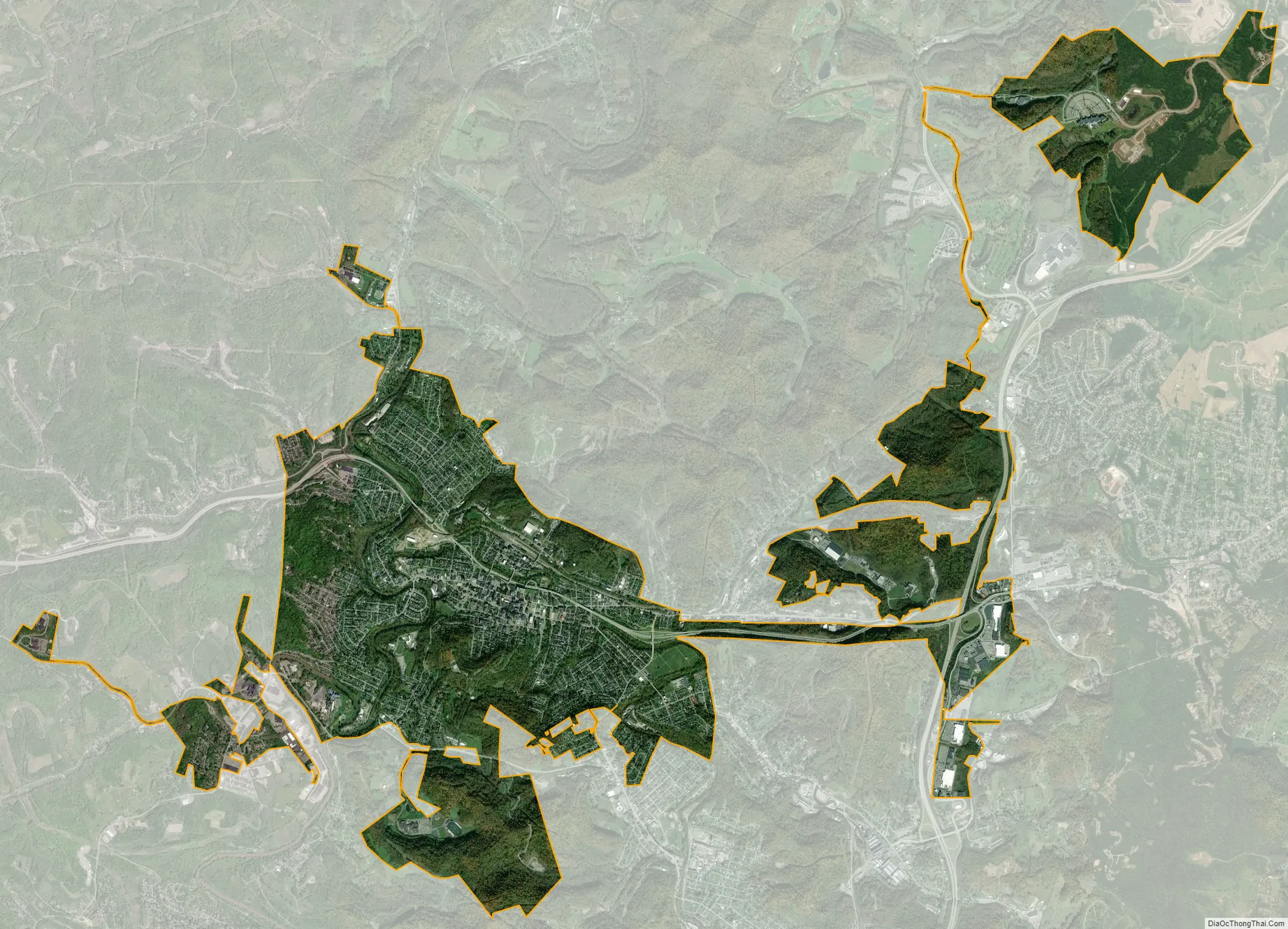
Clarksburg city Satellite Map
Geography
Clarksburg is located at 39°16′50″N 80°20′40″W / 39.28056°N 80.34444°W / 39.28056; -80.34444, along the West Fork River and Elk Creek.
According to the United States Census Bureau, the city has a total area of 9.74 square miles (25.23 km), all land.
Clarksburg is located in West Virginia’s North-Central region. It lies within the ecoregion of the Western Allegheny Plateau.
Clarksburg is located at the junction of U.S. 50 and U.S. 19, two miles west of the junction of U.S. 50 with Interstate 79. The city lies at an elevation of 1,007 feet at the junction of Elk Creek and the West Fork River of the Monongahela River.
Climate
Clarksburg had a humid continental climate if one considers the 0 °C isotherm. The latest temperature numbers have the climate as humid subtropical (Cfa). To the molds of Köppen the climate may be considered the southern boundary of the Dfb zone at low altitudes in the North American continent (limit of 39 ° N), although in the immediate vicinity it is Dfa. The city still suffers strong influences from the south, especially from the Gulf of Mexico but due to its location has a much more significant influence of the cold air intrusion of Canada, where it is not protected by the Appalachians. The extent further to the south is due to the eastern and southeastern mountain ranges blocking the oceanic influence in part, even if it is minimal anyway by the considerable distance from the coast. At the same time it can be classified as Cfa or hybrid of different climatic zones according to the criterion to be surveyed, a situation similar to that of Boston. It is the Dfb boundary throughout the northern hemisphere if it is to be disregarded in elevated regions on all continents. The southern record could appear on the Korean peninsula but the dry season defined version (Dwb) predominates in these locations. The average temperature is 52.2 °F (11.2 °C) with a high average of 63.3 °F (17.4 °C) and a low average of 41.1 °F (5.1 °C). It has 45.6 inches (1,160 mm) of rain with peak in May (4.8 inches or 122 mm) and lower value in February with 3.2 inches (81 mm). The amount of total snow is 25 inches (64 cm), with highest values between January and February, 8 inches (20 cm) in total for each month. Since the season of snowfall goes from November to March.
Record temperatures range from −24 °F (−31 °C) on January 19, 1994, up to 102 °F (39 °C) as recently as September 3 and 4, 1953.
- ^ Records maintained at Benedum Airport since August 8, 1998 and at the “Clarksburg 1” COOP (39°16′06″N 80°21′08″W / 39.2682°N 80.3522°W / 39.2682; -80.3522) before then.
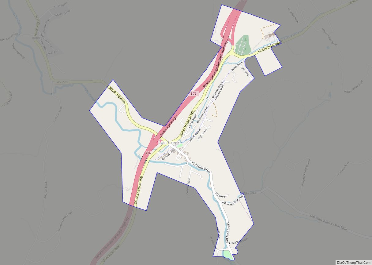
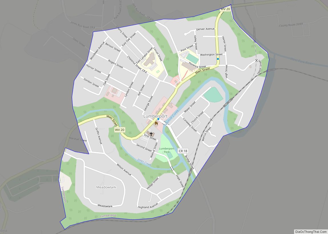
Nearby places
See also
Map of West Virginia State and its subdivision:- Barbour
- Berkeley
- Boone
- Braxton
- Brooke
- Cabell
- Calhoun
- Clay
- Doddridge
- Fayette
- Gilmer
- Grant
- Greenbrier
- Hampshire
- Hancock
- Hardy
- Harrison
- Jackson
- Jefferson
- Kanawha
- Lewis
- Lincoln
- Logan
- Marion
- Marshall
- Mason
- McDowell
- Mercer
- Mineral
- Mingo
- Monongalia
- Monroe
- Morgan
- Nicholas
- Ohio
- Pendleton
- Pleasants
- Pocahontas
- Preston
- Putnam
- Raleigh
- Randolph
- Ritchie
- Roane
- Summers
- Taylor
- Tucker
- Tyler
- Upshur
- Wayne
- Webster
- Wetzel
- Wirt
- Wood
- Wyoming
- Alabama
- Alaska
- Arizona
- Arkansas
- California
- Colorado
- Connecticut
- Delaware
- District of Columbia
- Florida
- Georgia
- Hawaii
- Idaho
- Illinois
- Indiana
- Iowa
- Kansas
- Kentucky
- Louisiana
- Maine
- Maryland
- Massachusetts
- Michigan
- Minnesota
- Mississippi
- Missouri
- Montana
- Nebraska
- Nevada
- New Hampshire
- New Jersey
- New Mexico
- New York
- North Carolina
- North Dakota
- Ohio
- Oklahoma
- Oregon
- Pennsylvania
- Rhode Island
- South Carolina
- South Dakota
- Tennessee
- Texas
- Utah
- Vermont
- Virginia
- Washington
- West Virginia
- Wisconsin
- Wyoming