Chauncey is a census-designated place (CDP) in Logan County, West Virginia, United States. Chauncey is located along West Virginia Route 44 and Island Creek, 5.5 miles (8.9 km) south of Logan. Chauncey had a post office, which opened on August 23, 1913, and closed on June 27, 2009. As of the 2010 census, its population is 283.
| Name: | Chauncey CDP |
|---|---|
| LSAD Code: | 57 |
| LSAD Description: | CDP (suffix) |
| State: | West Virginia |
| County: | Logan County |
| Elevation: | 794 ft (242 m) |
| Total Area: | 1.445 sq mi (3.74 km²) |
| Land Area: | 1.437 sq mi (3.72 km²) |
| Water Area: | 0.008 sq mi (0.02 km²) |
| Total Population: | 283 |
| Population Density: | 200/sq mi (76/km²) |
| ZIP code: | 25612 |
| Area code: | 304 & 681 |
| FIPS code: | 5414716 |
| GNISfeature ID: | 1554115 |
Online Interactive Map
Click on ![]() to view map in "full screen" mode.
to view map in "full screen" mode.
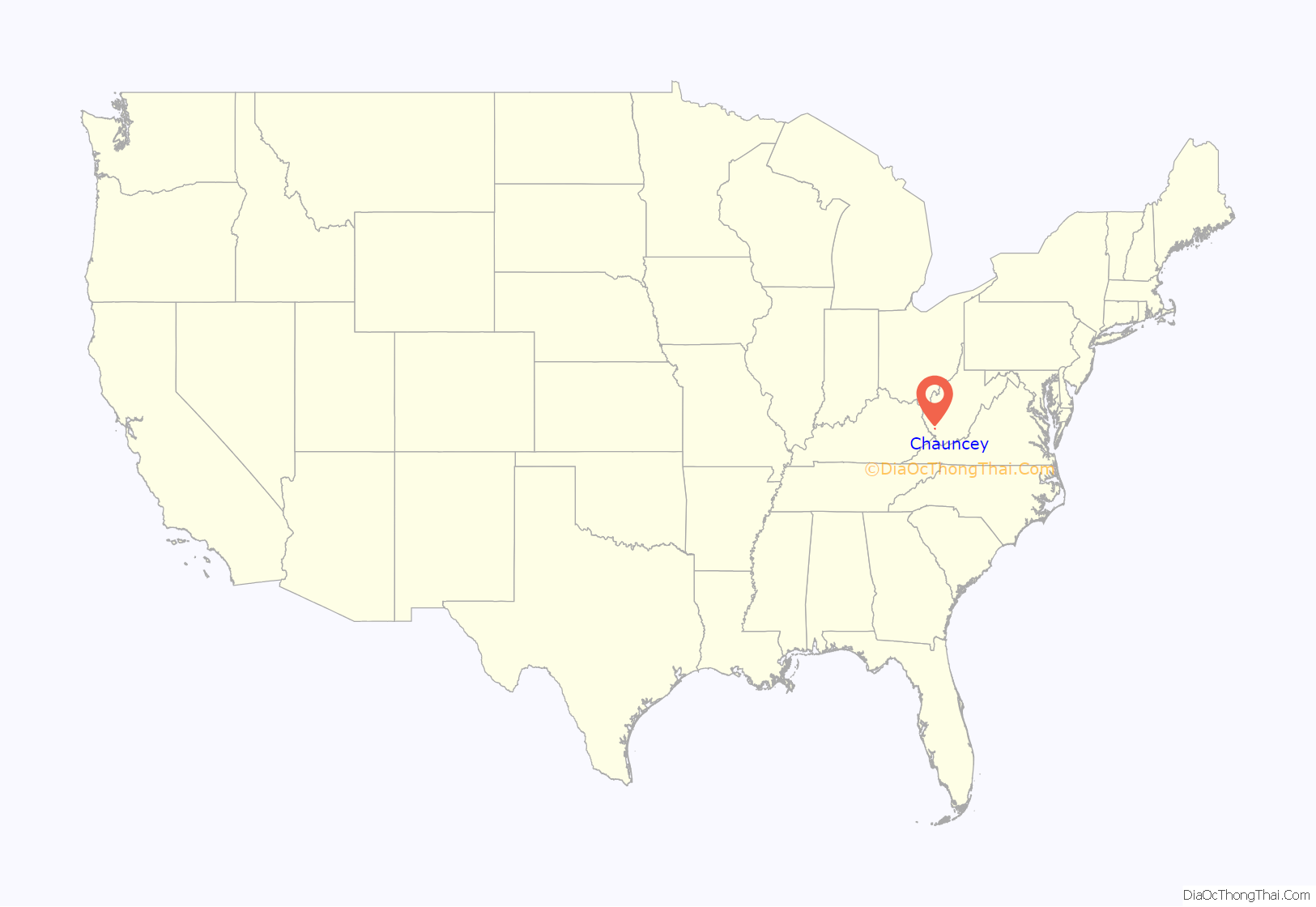
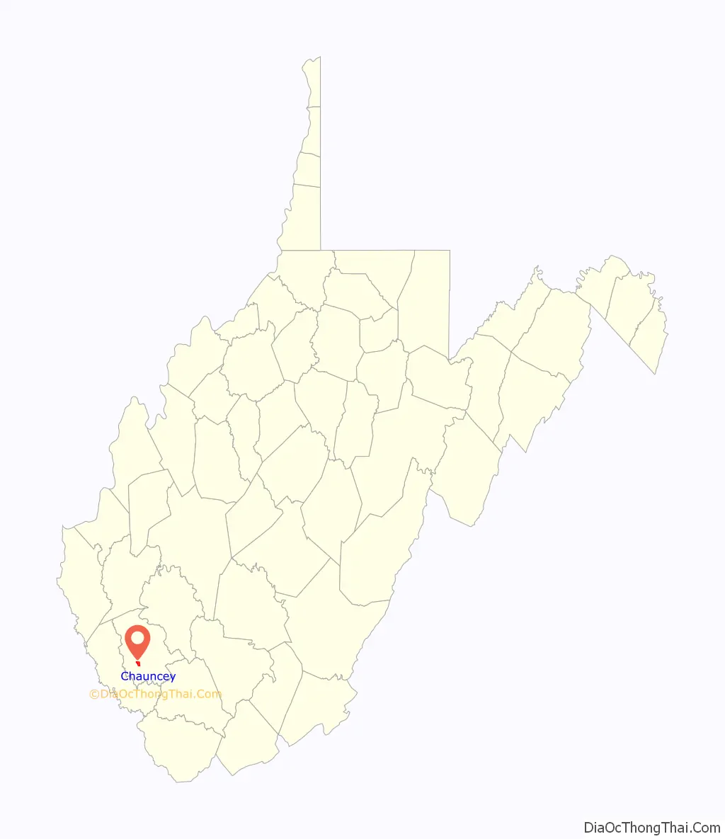
Chauncey location map. Where is Chauncey CDP?
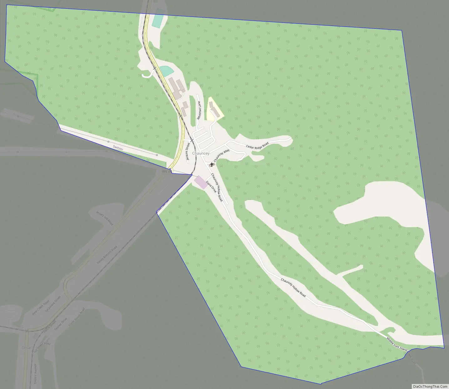
Chauncey Road Map
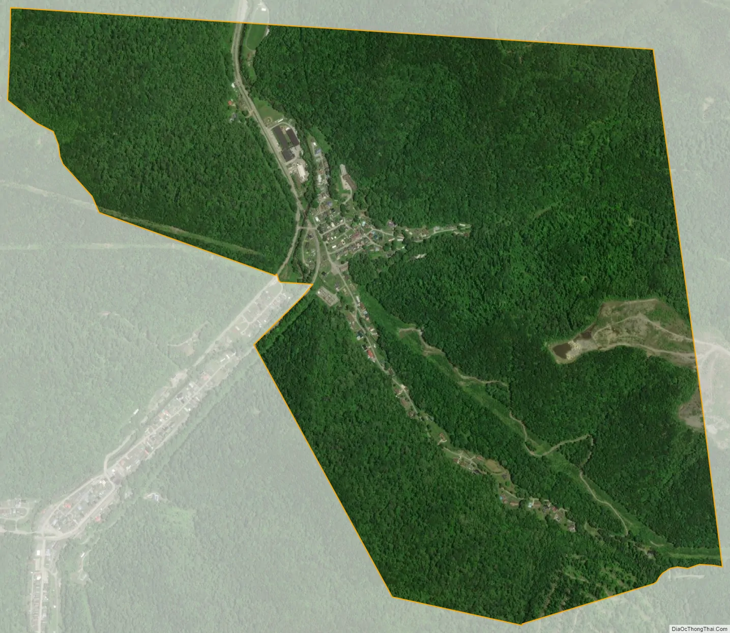
Chauncey city Satellite Map
See also
Map of West Virginia State and its subdivision:- Barbour
- Berkeley
- Boone
- Braxton
- Brooke
- Cabell
- Calhoun
- Clay
- Doddridge
- Fayette
- Gilmer
- Grant
- Greenbrier
- Hampshire
- Hancock
- Hardy
- Harrison
- Jackson
- Jefferson
- Kanawha
- Lewis
- Lincoln
- Logan
- Marion
- Marshall
- Mason
- McDowell
- Mercer
- Mineral
- Mingo
- Monongalia
- Monroe
- Morgan
- Nicholas
- Ohio
- Pendleton
- Pleasants
- Pocahontas
- Preston
- Putnam
- Raleigh
- Randolph
- Ritchie
- Roane
- Summers
- Taylor
- Tucker
- Tyler
- Upshur
- Wayne
- Webster
- Wetzel
- Wirt
- Wood
- Wyoming
- Alabama
- Alaska
- Arizona
- Arkansas
- California
- Colorado
- Connecticut
- Delaware
- District of Columbia
- Florida
- Georgia
- Hawaii
- Idaho
- Illinois
- Indiana
- Iowa
- Kansas
- Kentucky
- Louisiana
- Maine
- Maryland
- Massachusetts
- Michigan
- Minnesota
- Mississippi
- Missouri
- Montana
- Nebraska
- Nevada
- New Hampshire
- New Jersey
- New Mexico
- New York
- North Carolina
- North Dakota
- Ohio
- Oklahoma
- Oregon
- Pennsylvania
- Rhode Island
- South Carolina
- South Dakota
- Tennessee
- Texas
- Utah
- Vermont
- Virginia
- Washington
- West Virginia
- Wisconsin
- Wyoming


