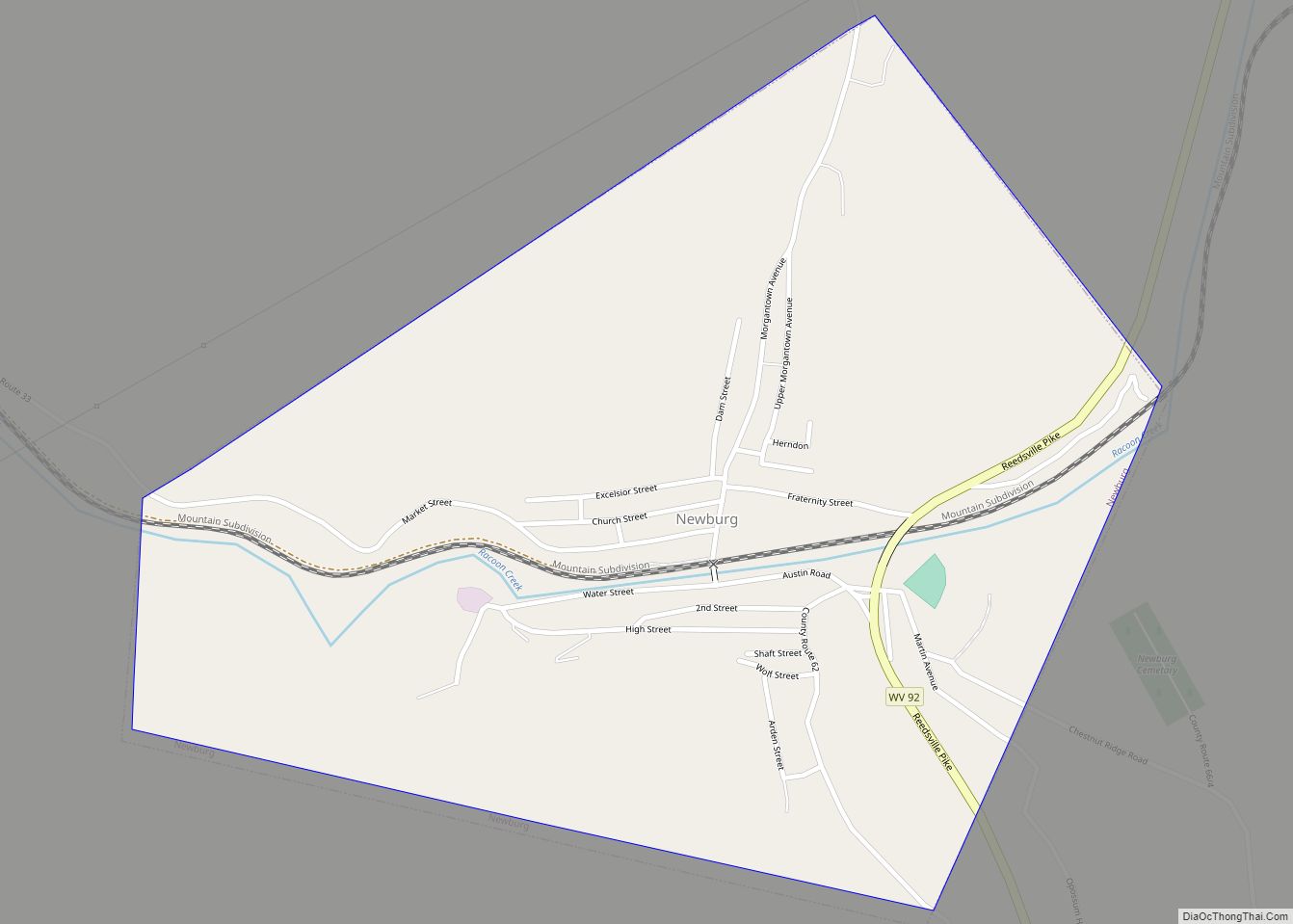
Newburg is a town in western Preston County, West Virginia, United States. The population was 275 at the 2020 census. It is part of the Morgantown metropolitan area. The town was so named on account of it being the newest town on the railroad, according to local history. Newburg town overview: Name: Newburg town LSAD ... Read more
West Virginia Cities and Places
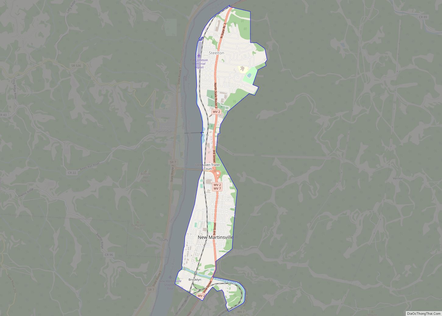
New Martinsville is a city in and the county seat of Wetzel County, West Virginia, United States, along the Ohio River. The population was 5,186 at the 2020 census. New Martinsville city overview: Name: New Martinsville city LSAD Code: 25 LSAD Description: city (suffix) State: West Virginia County: Wetzel County Elevation: 623 ft (190 m) Total Area: ... Read more
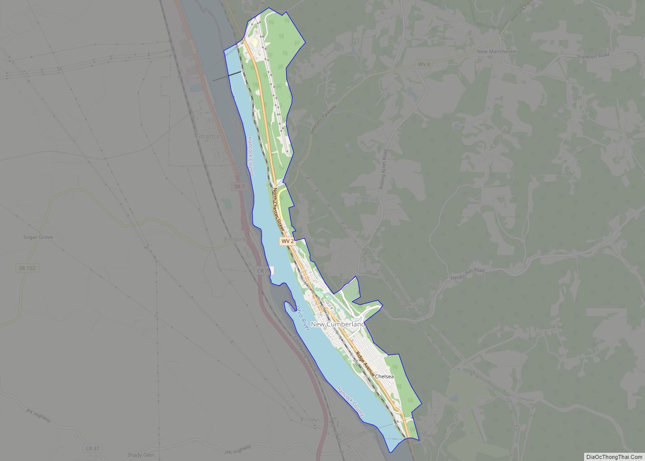
New Cumberland is a city in and the county seat of Hancock County, West Virginia, United States, along the Ohio River. The population was 1,020 as of the 2020 census. It is part of the Weirton–Steubenville metropolitan area. New Cumberland city overview: Name: New Cumberland city LSAD Code: 25 LSAD Description: city (suffix) State: West ... Read more
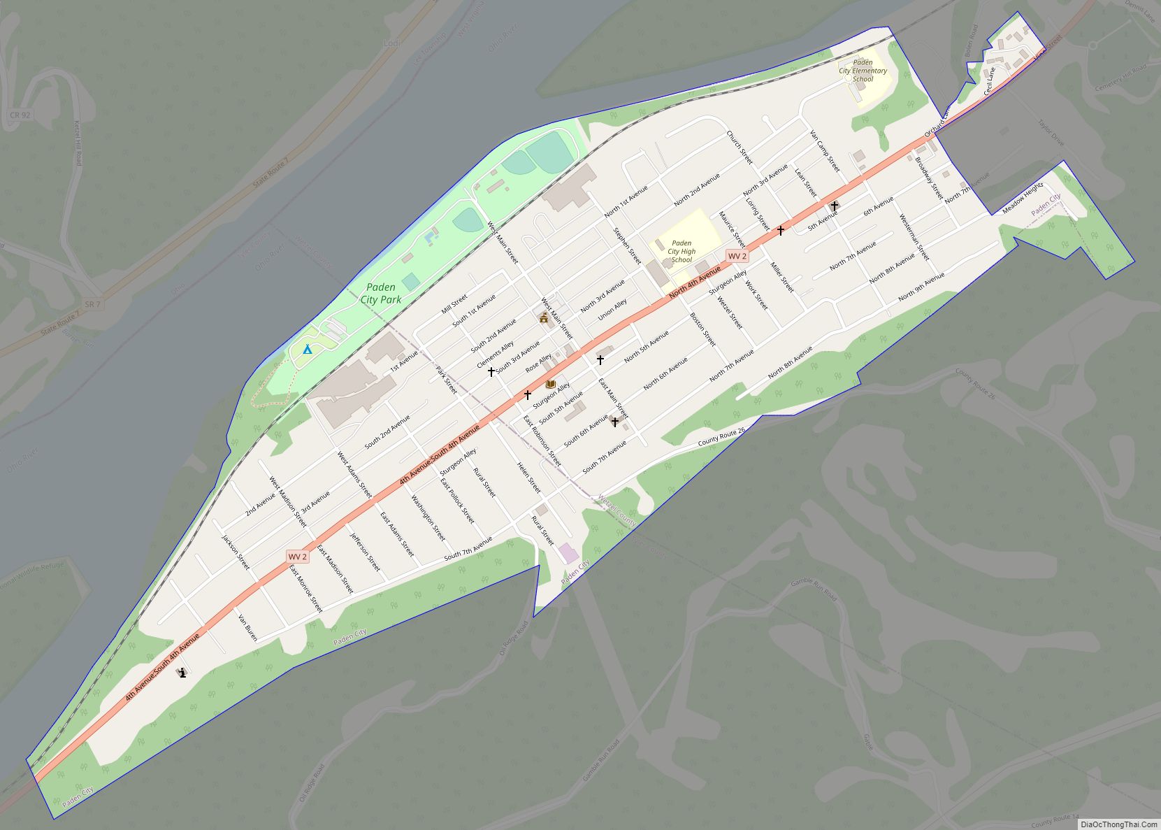
Paden City is a city in Tyler and Wetzel counties in the U.S. state of West Virginia, along the Ohio River. It was founded in 1902. The population was 2,550 at the 2020 census. The town was named for Pennsylvania-born Obediah Paden (1755-1822), a local landowner. Nearby Paden Island and Paden Fork were also named ... Read more
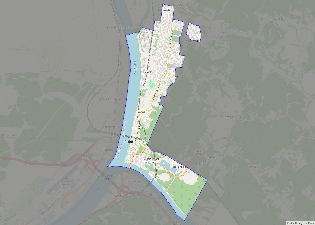
Point Pleasant is a city in and the county seat of Mason County, West Virginia, United States, at the confluence of the Ohio and Kanawha Rivers. The population was 4,101 at the 2020 census. It is the principal city of the Point Pleasant micropolitan area extending into Ohio. The town is known for the Mothman, ... Read more
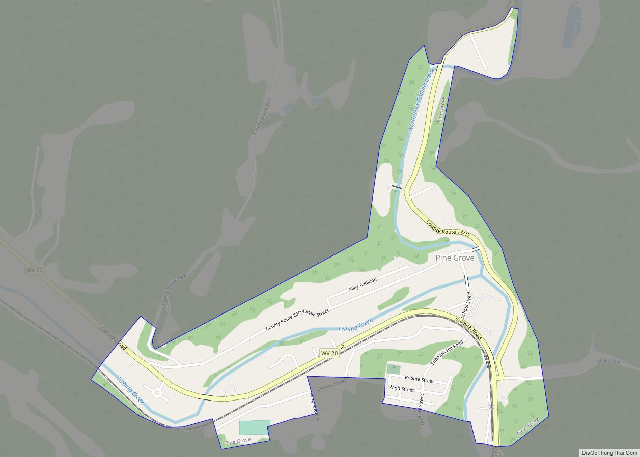
Pine Grove is a town in Wetzel County, West Virginia, United States. The population was 363 at the 2020 census. The community was named for a grove of pine trees near the original town site. The town is one mile north of Dominion Energy’s large Hastings Extraction Station, which separates natural gas into various subproducts ... Read more
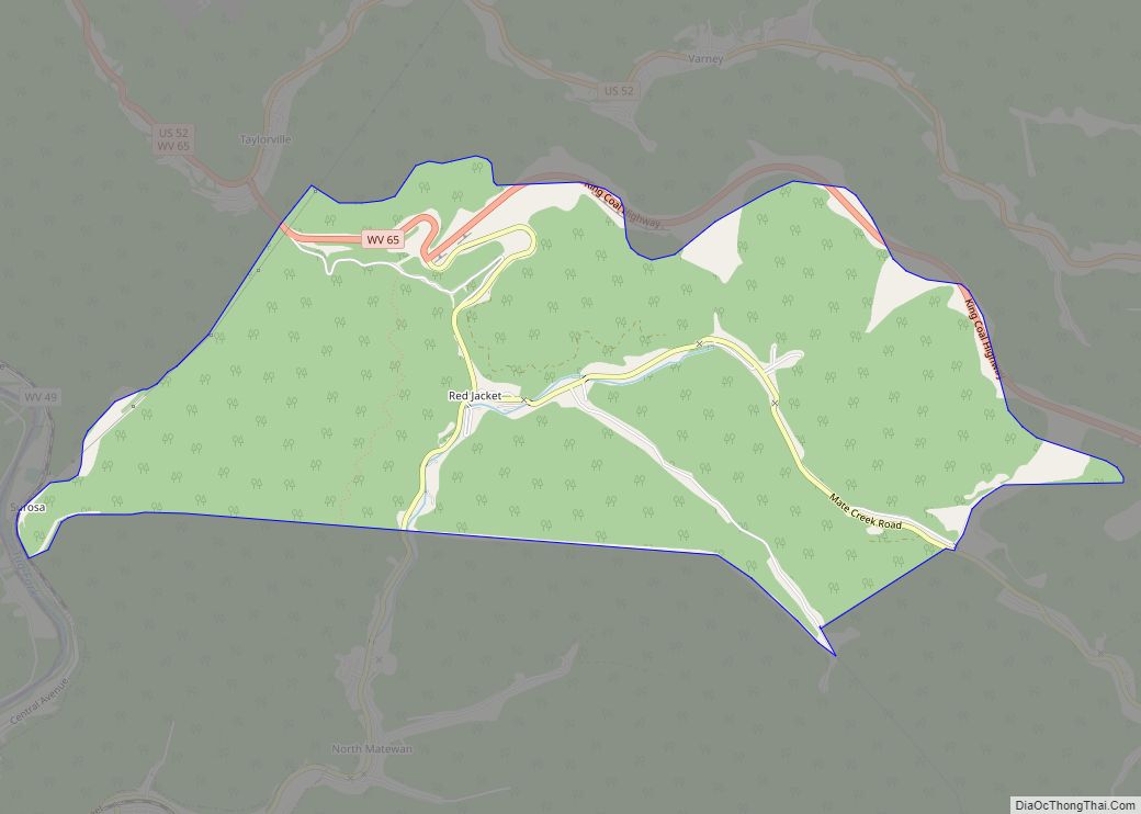
Red Jacket is a census-designated place (CDP) in Mingo County, West Virginia, United States. The population was 581 at the 2010 census. The community was named for Red Jacket, a Seneca chief. Red Jacket CDP overview: Name: Red Jacket CDP LSAD Code: 57 LSAD Description: CDP (suffix) State: West Virginia County: Mingo County Elevation: 794 ft ... Read more
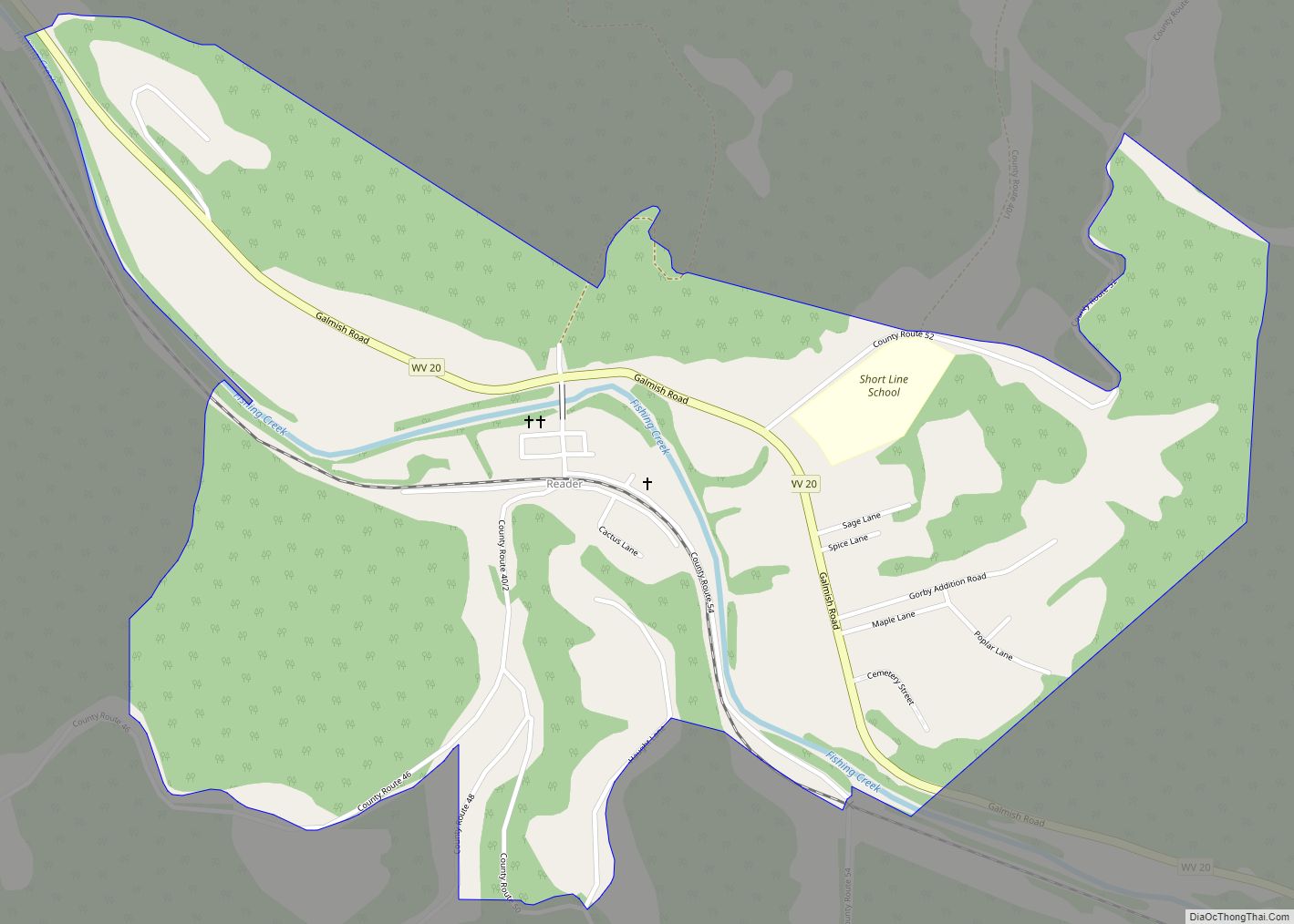
Reader is a census-designated place (CDP) in Wetzel County, West Virginia, United States. As of the 2010 census, its population was 397. Reader got its start circa 1901 when the railroad was extended to that point. The community took its name from nearby Reader Run creek. Reader CDP overview: Name: Reader CDP LSAD Code: 57 ... Read more
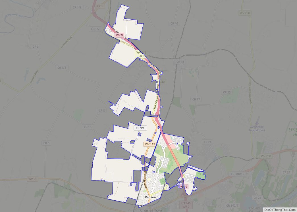
Ranson is a city in Jefferson County, West Virginia, United States. The population was 5,433 at the 2020 census. It is part of the northwestern fringes of the Washington metropolitan area. Ranson corporation overview: Name: Ranson corporation LSAD Code: CN LSAD Description: corporation (suffix) State: West Virginia County: Jefferson County Total Area: 8.09 sq mi (20.96 km²) Land ... Read more
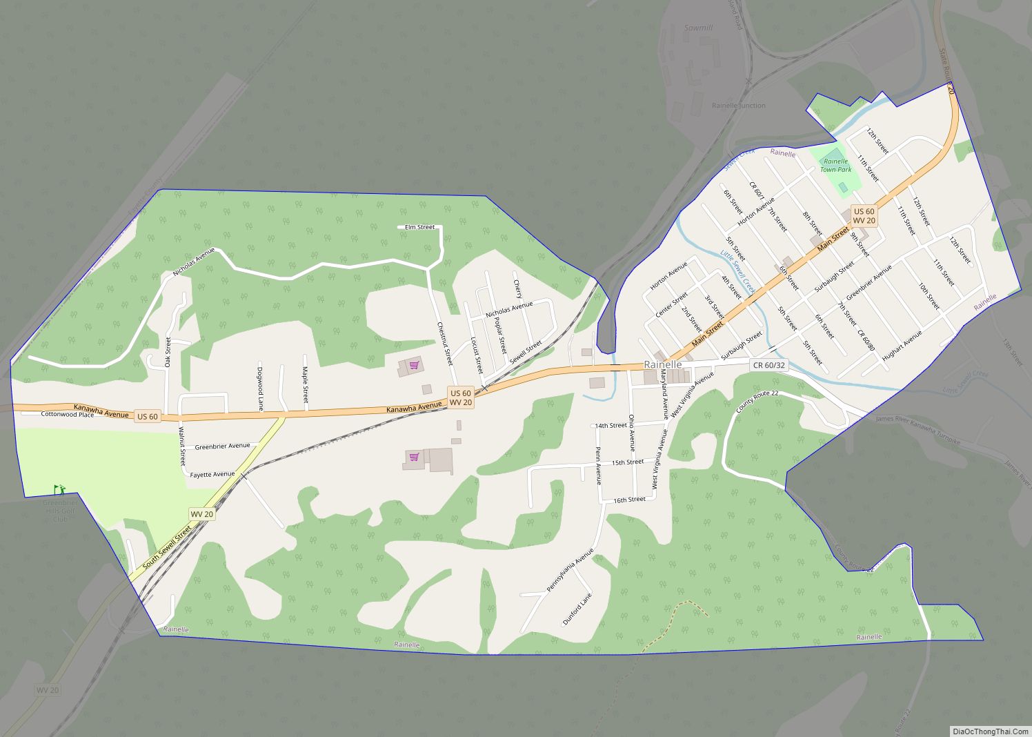
Rainelle is a town on the western edge of Greenbrier County, West Virginia, United States. It sits at the base of Sewell Mountain and Sims Mountain, and is bisected by the Meadow River. The only means of transportation to and from Rainelle are roads; primarily US 60 and WV 20, which merge on the western ... Read more
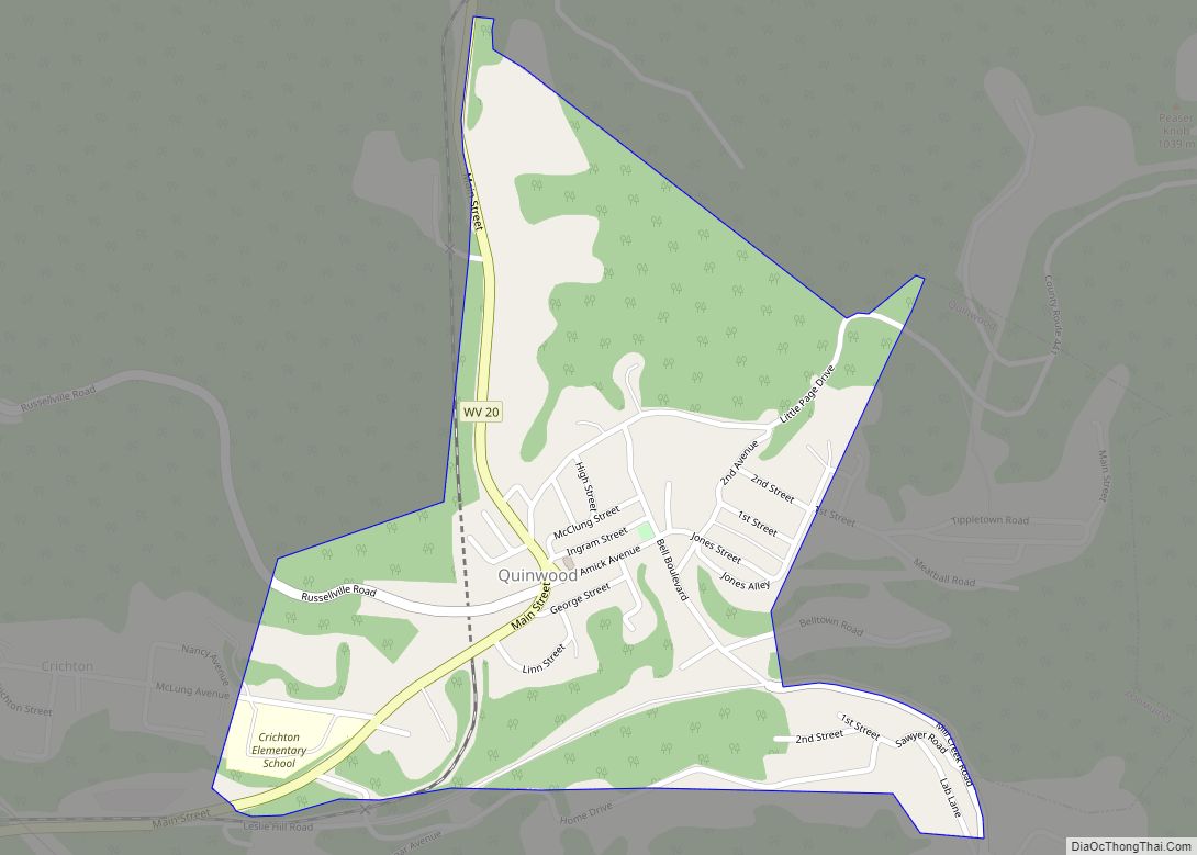
Quinwood is a town and former coal town in Greenbrier County, West Virginia, United States. The population was 220 at the 2020 census. The community’s name is an amalgamation of the names of its proprietors Quin Morton and W. S. Wood. Quinwood town overview: Name: Quinwood town LSAD Code: 43 LSAD Description: town (suffix) State: ... Read more
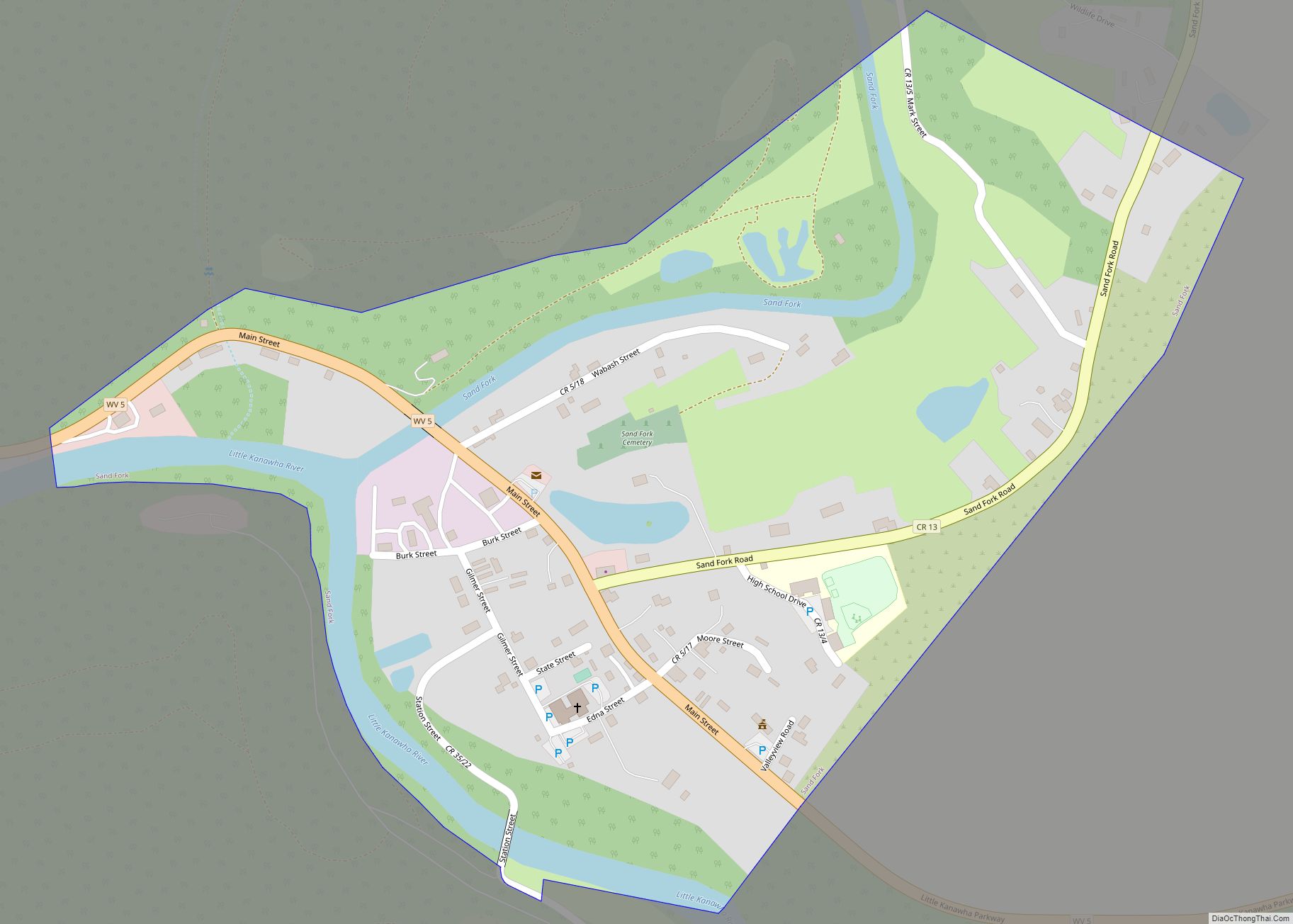
Sand Fork is a town in Gilmer County, West Virginia, United States. The population was 182 at the 2020 census. It is located along the Little Kanawha River, at the mouth of the Sand Fork. Sand Fork was incorporated in 1903 as Layopolis, named for William R. Lay, an employee of the Eureka Pipe Line ... Read more
