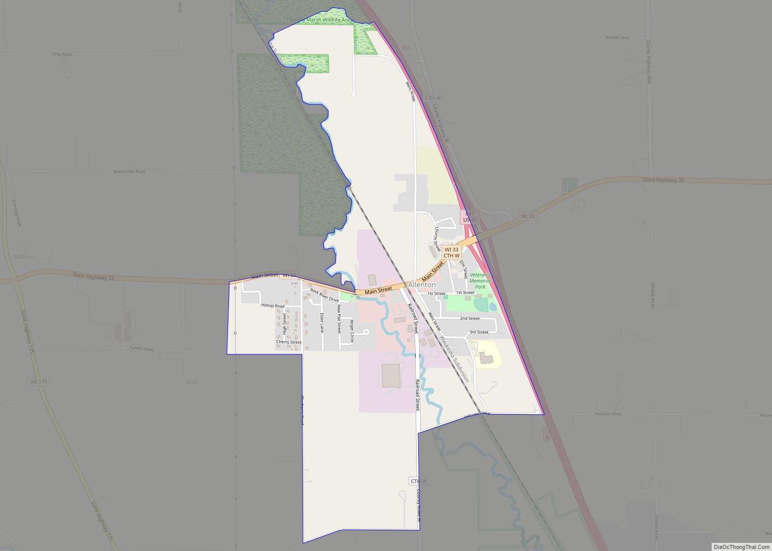
Map of Adell village
Adell is a village in Sheboygan County, Wisconsin, United States. The population was 516 at the 2010 census. It is included in the Sheboygan, Wisconsin Metropolitan Statistical Area. Adell village overview: Name: Adell village LSAD Code: 47 LSAD Description: village (suffix) State: Wisconsin County: Sheboygan County Elevation: 906 ft (276 m) Total Area: 0.57 sq mi (1.48 km²) Land Area: ... Read more
Map of Adell village
Map of Adams city, Wisconsin
Adams is a city in Adams County in the U.S. state of Wisconsin. The population was 1,967 at the 2010 census. The city is located within the Town of Adams. Adams city overview: Name: Adams city LSAD Code: 25 LSAD Description: city (suffix) State: Wisconsin County: Adams County Elevation: 965 ft (294 m) Total Area: 2.95 sq mi (7.63 km²) ... Read more
Map of Adams city, Wisconsin
Map of Amherst village, Wisconsin
Amherst is a town in Portage County, Wisconsin, United States. The population was 1,435 at the 2000 census. The ghost town of Lake Emily was located in the town. The Town of Amherst was established in 1851. Amherst village overview: Name: Amherst village LSAD Code: 47 LSAD Description: village (suffix) State: Wisconsin County: Portage County ... Read more
Map of Amherst village, Wisconsin
Map of Amherst Junction village
Amherst Junction is a village in Portage County, Wisconsin, United States. The population was 377 at the 2010 census. Amherst Junction village overview: Name: Amherst Junction village LSAD Code: 47 LSAD Description: village (suffix) State: Wisconsin County: Portage County Elevation: 1,109 ft (338 m) Total Area: 1.24 sq mi (3.22 km²) Land Area: 1.24 sq mi (3.20 km²) Water Area: 0.01 sq mi (0.02 km²) Total ... Read more
Map of Amherst Junction village
Map of Amery city
Amery is a city in Polk County, Wisconsin, United States, along the Apple River. It is a part of Wisconsin’s 7th congressional district. The population was 2,902 at the 2010 census. The city was named in honor of William Amery, a carpenter who held several local offices in the 1870s. Amery city overview: Name: Amery ... Read more
Map of Amery city
Map of Ashippun CDP
Ashippun is an unincorporated census-designated place located in the town of Ashippun, Dodge County, Wisconsin, United States. Ashippun is located on Wisconsin Highway 67 7 miles (11 km) south of Neosho. Ashippun has a post office with ZIP code 53003. At the 2020 census, its population was 1,166, more than triple the population of 333 in ... Read more
Map of Ashippun CDP
Map of Arpin village
Arpin is a town in Wood County, Wisconsin, United States. The population was 786 at the 2000 census. Arpin village overview: Name: Arpin village LSAD Code: 47 LSAD Description: village (suffix) State: Wisconsin County: Wood County Total Area: 33.0 sq mi (85.5 km²) Land Area: 33.0 sq mi (85.5 km²) Total Population: 786 Population Density: 24/sq mi (9.2/km²) FIPS code: 5503025 Online ... Read more
Map of Arpin village
Map of Arlington village, Wisconsin
Arlington is a town in Columbia County, Wisconsin, United States. The population was 848 at the 2000 census. The Village of Arlington is located within the town. Arlington village overview: Name: Arlington village LSAD Code: 47 LSAD Description: village (suffix) State: Wisconsin County: Columbia County FIPS code: 5502800 Online Interactive Map Arlington online map. Source: ... Read more
Map of Arlington village, Wisconsin
Map of Arkdale CDP
Arkdale is an unincorporated census-designated place in the town of Strongs Prairie in Adams County, Wisconsin, United States. As of the 2020 Census, its population was 201. Arkdale has an area of 2.221 square miles (5.75 km); 2.144 square miles (5.55 km) of this is land, and 0.077 square miles (0.20 km) is water. Arkdale CDP overview: Name: ... Read more
Map of Arkdale CDP
Map of Balsam Lake village
Balsam Lake is a village in, and the county seat of Polk County, Wisconsin, United States. The population was 1,009 at the 2010 census. The village is located within the Town of Balsam Lake. Balsam Lake village overview: Name: Balsam Lake village LSAD Code: 47 LSAD Description: village (suffix) State: Wisconsin County: Polk County Elevation: ... Read more
Map of Balsam Lake village
Map of Argyle village, Wisconsin
Argyle is a town in Lafayette County, Wisconsin, United States. The population was 436 at the 2010 census, down from 479 at the 2000 census. The village of Argyle is located within the town. Argyle village overview: Name: Argyle village LSAD Code: 47 LSAD Description: village (suffix) State: Wisconsin County: Lafayette County Elevation: 802 ft (244 m) ... Read more
Map of Argyle village, Wisconsin
Map of Argonne CDP
Argonne is an unincorporated census-designated place in the town of Argonne, Forest County, Wisconsin, United States. Argonne is located at the junction of Wisconsin Highway 32 and Wisconsin Highway 55 6 miles (9.7 km) north of Crandon. Argonne has a post office with ZIP code 54511. The community was established in 1888. As of the 2010 ... Read more
Map of Argonne CDP