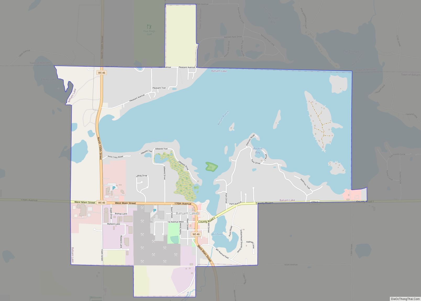
Balsam Lake is a village in, and the county seat of Polk County, Wisconsin, United States. The population was 1,009 at the 2010 census. The village is located within the Town of Balsam Lake.
| Name: | Balsam Lake village |
|---|---|
| LSAD Code: | 47 |
| LSAD Description: | village (suffix) |
| State: | Wisconsin |
| County: | Polk County |
| Elevation: | 1,089 ft (332 m) |
| Total Area: | 3.41 sq mi (8.83 km²) |
| Land Area: | 2.17 sq mi (5.61 km²) |
| Water Area: | 1.24 sq mi (3.21 km²) |
| Total Population: | 1,009 |
| Population Density: | 452.95/sq mi (174.91/km²) |
| ZIP code: | 54810 |
| FIPS code: | 5504475 |
| GNISfeature ID: | 1582745 |
| Website: | www.balsamlakevillage.com/WP/ |
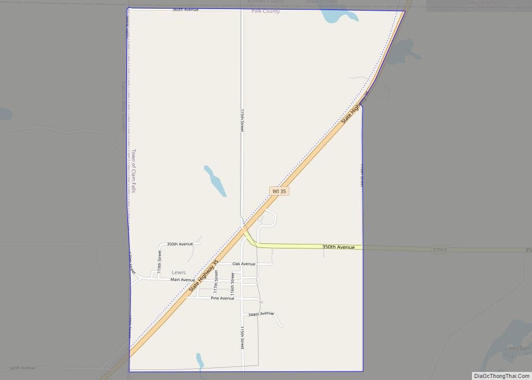
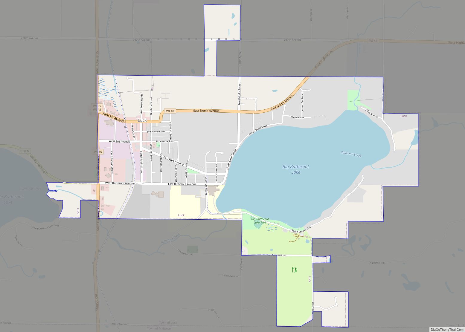
Online Interactive Map
Click on ![]() to view map in "full screen" mode.
to view map in "full screen" mode.
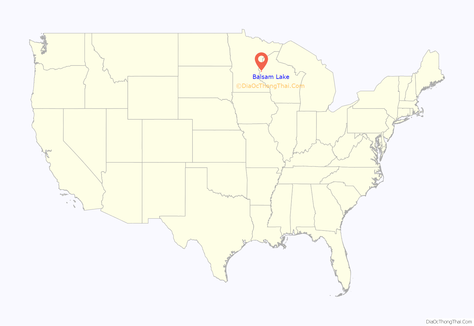
Balsam Lake location map. Where is Balsam Lake village?
History
The area in and around Balsam Lake was originally inhabited by a large band of Chippewa Indians. They referred to the area as “Innenehinduc,” which means “place of the evergreen.” This may have been due to the large amount of Canadian Yew, an evergreen shrub, which grew in abundance there.
The town was organized on January 8, 1870, and was named after the lake that lay within its borders. The first businesses included a blacksmith shop, a bank, a creamery, two sawmills, a hardware store, and a general store. Governmental buildings included a courthouse and a log schoolhouse.
Today, Balsam Lake is the home of the Polk County Government Center.
The town celebrates its history, and the history of the United States, with its annual Freedom Festival, which takes place on the Thursday through Sunday surrounding the Fourth of July.
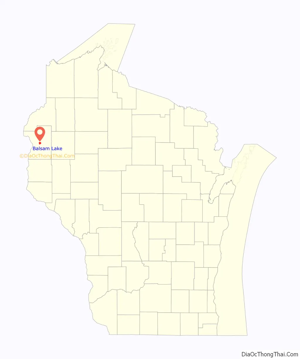
Balsam Lake Road Map

Balsam Lake city Satellite Map
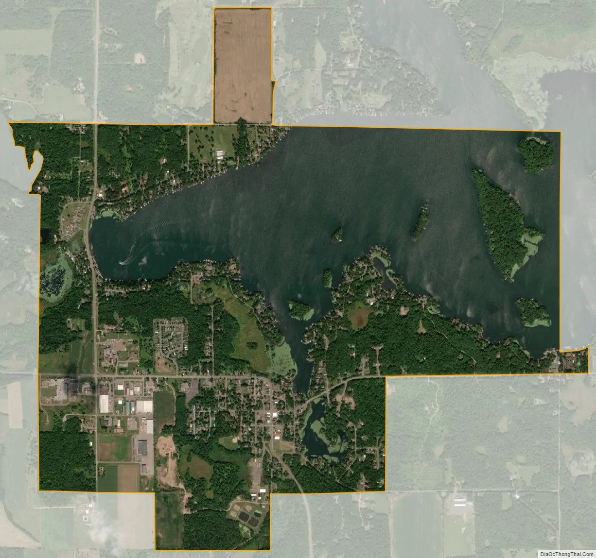
Geography
Balsam Lake is located at 45°27′28″N 92°27′17″W / 45.45778°N 92.45472°W / 45.45778; -92.45472 (45.45805, -92.454872).
According to the United States Census Bureau, the village has a total area of 3.39 square miles (8.78 km), of which, 2.16 square miles (5.59 km) of it is land and 1.23 square miles (3.19 km) is water.
Wisconsin Highway 46 and Polk County Road I are main routes in the community. U.S. Highway 8 and Wisconsin Highway 65 are nearby.
See also
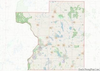
Map of Wisconsin State and its subdivision:- Adams
- Ashland
- Barron
- Bayfield
- Brown
- Buffalo
- Burnett
- Calumet
- Chippewa
- Clark
- Columbia
- Crawford
- Dane
- Dodge
- Door
- Douglas
- Dunn
- Eau Claire
- Florence
- Fond du Lac
- Forest
- Grant
- Green
- Green Lake
- Iowa
- Iron
- Jackson
- Jefferson
- Juneau
- Kenosha
- Kewaunee
- La Crosse
- Lafayette
- Lake Michigan
- Lake Superior
- Langlade
- Lincoln
- Manitowoc
- Marathon
- Marinette
- Marquette
- Menominee
- Milwaukee
- Monroe
- Oconto
- Oneida
- Outagamie
- Ozaukee
- Pepin
- Pierce
- Polk
- Portage
- Price
- Racine
- Richland
- Rock
- Rusk
- Saint Croix
- Sauk
- Sawyer
- Shawano
- Sheboygan
- Taylor
- Trempealeau
- Vernon
- Vilas
- Walworth
- Washburn
- Washington
- Waukesha
- Waupaca
- Waushara
- Winnebago
- Wood
- Alabama
- Alaska
- Arizona
- Arkansas
- California
- Colorado
- Connecticut
- Delaware
- District of Columbia
- Florida
- Georgia
- Hawaii
- Idaho
- Illinois
- Indiana
- Iowa
- Kansas
- Kentucky
- Louisiana
- Maine
- Maryland
- Massachusetts
- Michigan
- Minnesota
- Mississippi
- Missouri
- Montana
- Nebraska
- Nevada
- New Hampshire
- New Jersey
- New Mexico
- New York
- North Carolina
- North Dakota
- Ohio
- Oklahoma
- Oregon
- Pennsylvania
- Rhode Island
- South Carolina
- South Dakota
- Tennessee
- Texas
- Utah
- Vermont
- Virginia
- Washington
- West Virginia
- Wisconsin
- Wyoming