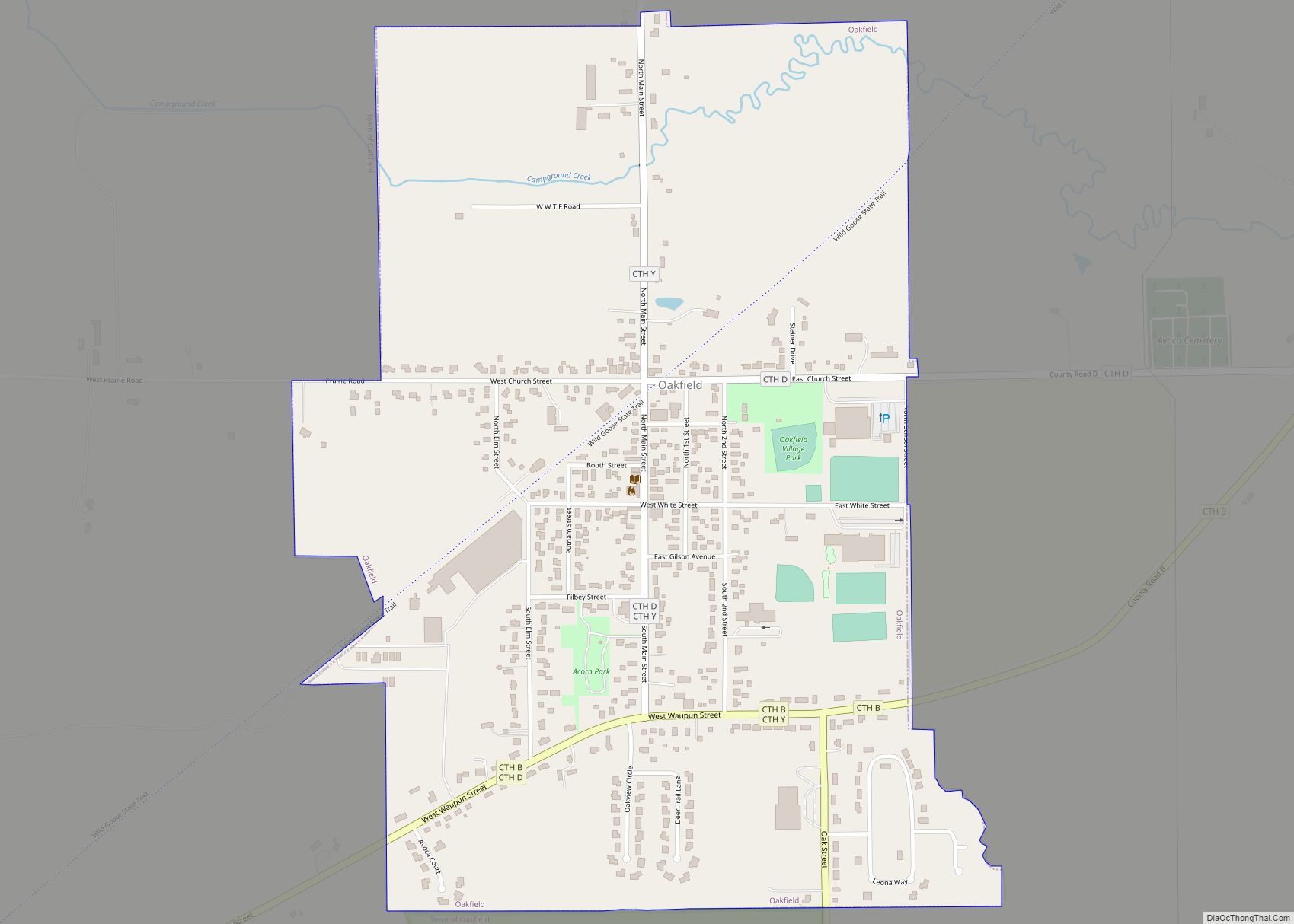
Oakfield is a town in Fond du Lac County, Wisconsin, United States. The population was 767 at the 2000 census. The Village of Oakfield is located within the town. The unincorporated community of Oak Center is also located in the town. Oakfield village overview: Name: Oakfield village LSAD Code: 47 LSAD Description: village (suffix) State: ... Read more
Wisconsin Cities and Places
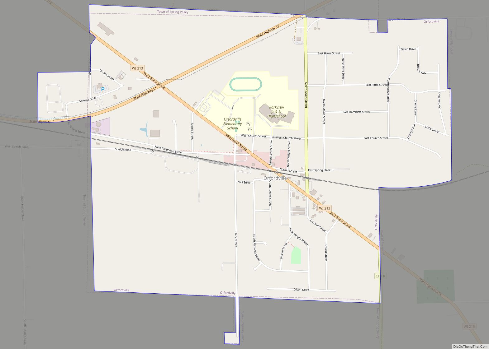
Orfordville is a village in Rock County, Wisconsin, United States. It is located at the intersection of Highway 11, Highway 213, and the Wisconsin and Southern Railroad. The population was 1,473 at the 2020 census. Orfordville village overview: Name: Orfordville village LSAD Code: 47 LSAD Description: village (suffix) State: Wisconsin County: Rock County Elevation: 889 ft ... Read more
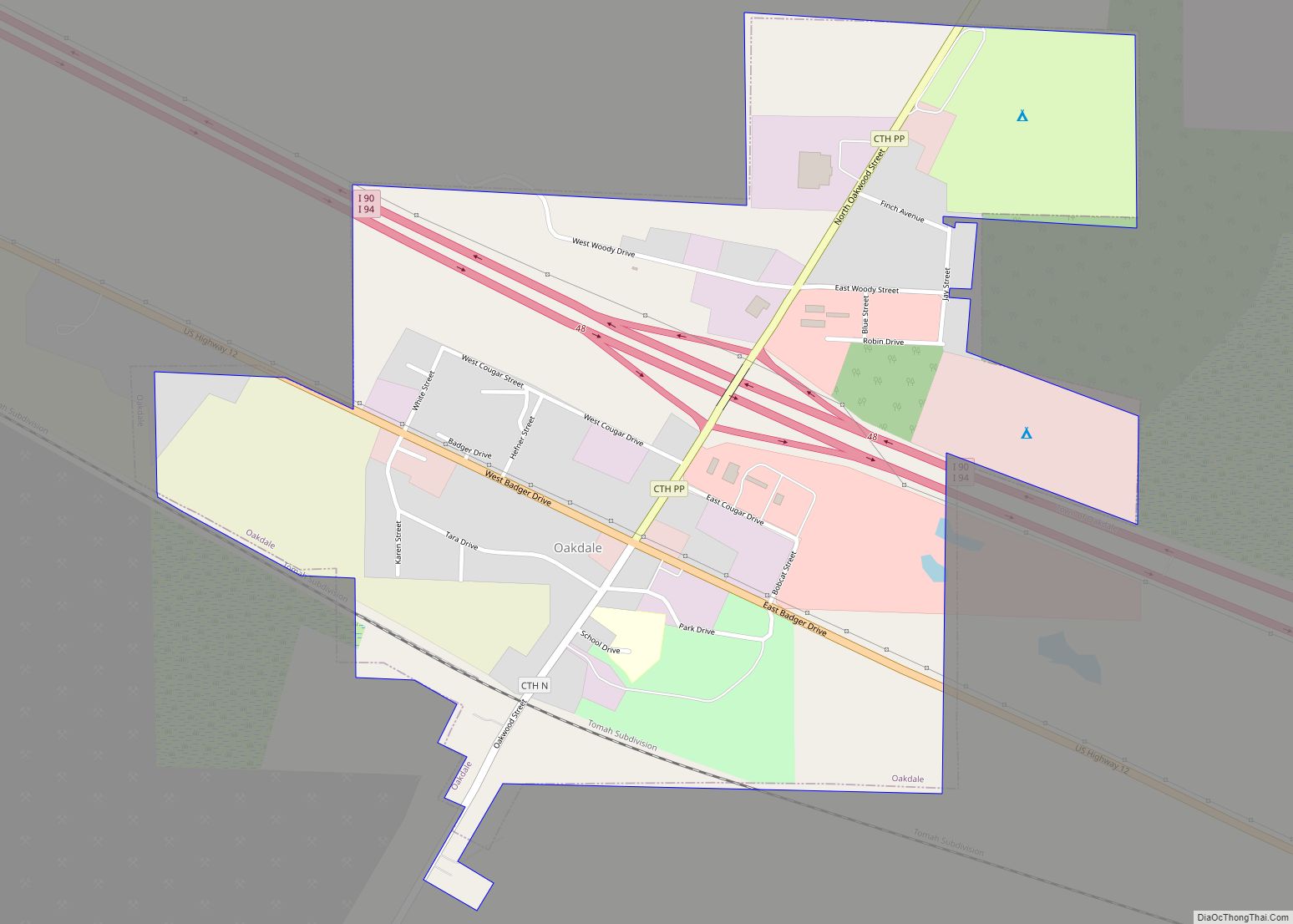
Oakdale is a town in Monroe County, Wisconsin, United States. The population was 679 at the 2000 census. The Village of Oakdale is located within the town. Oakdale village overview: Name: Oakdale village LSAD Code: 47 LSAD Description: village (suffix) State: Wisconsin County: Monroe County FIPS code: 5558850 Online Interactive Map Oakdale online map. Source: ... Read more
Oregon is a village in Dane County, Wisconsin. As of the census of 2020, the population was 11,179. Oregon is part of the Madison Metropolitan Statistical Area. The village is located mostly within the Town of Oregon. Oregon village overview: Name: Oregon village LSAD Code: 47 LSAD Description: village (suffix) State: Wisconsin County: Dane County ... Read more
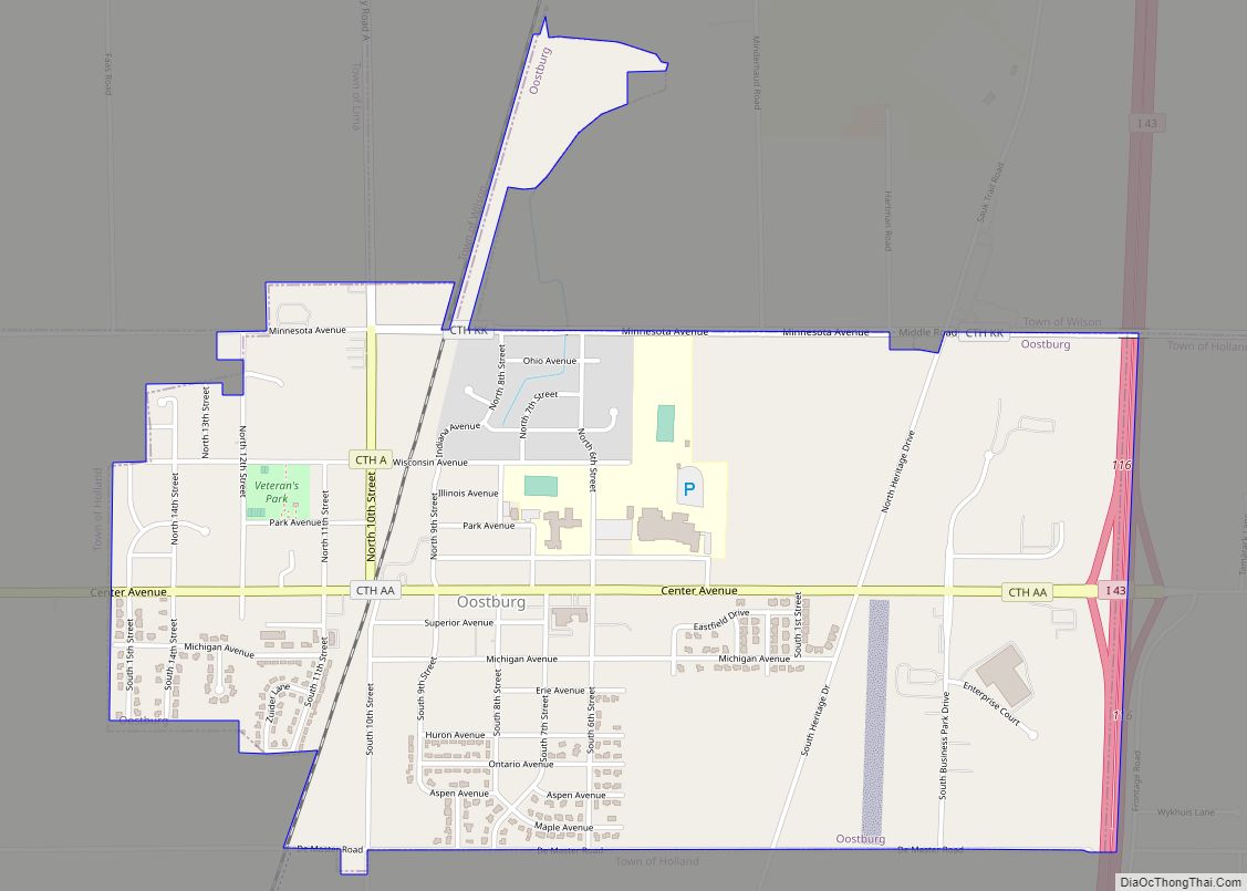
Oostburg is a village in Sheboygan County, Wisconsin, United States. The population was 2,887 at the 2010 census. It is included in the Sheboygan, Wisconsin Metropolitan Statistical Area. Oostburg village overview: Name: Oostburg village LSAD Code: 47 LSAD Description: village (suffix) State: Wisconsin County: Sheboygan County Elevation: 699 ft (213 m) Total Area: 1.96 sq mi (5.08 km²) Land Area: ... Read more
Ontario is a village in Vernon County, Wisconsin, United States. The population was 554 at the 2010 census. Ontario village overview: Name: Ontario village LSAD Code: 47 LSAD Description: village (suffix) State: Wisconsin County: Vernon County Elevation: 919 ft (280 m) Total Area: 1.01 sq mi (2.62 km²) Land Area: 1.00 sq mi (2.60 km²) Water Area: 0.01 sq mi (0.02 km²) Total Population: 554 Population ... Read more
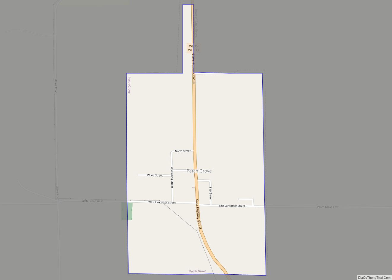
Patch Grove is a village in Grant County, Wisconsin, United States. The population was 198 at the 2010 census. The village is located within the Town of Patch Grove. Patch Grove village overview: Name: Patch Grove village LSAD Code: 47 LSAD Description: village (suffix) State: Wisconsin County: Grant County FIPS code: 5561425 Online Interactive Map ... Read more
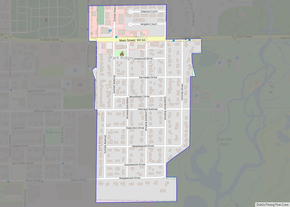
Park Ridge is a village in Portage County, Wisconsin, United States and is a suburb of Stevens Point. It is included in the Stevens Point Micropolitan Statistical Area. The population was 530 at the 2020 census. Park Ridge village overview: Name: Park Ridge village LSAD Code: 47 LSAD Description: village (suffix) State: Wisconsin County: Portage ... Read more
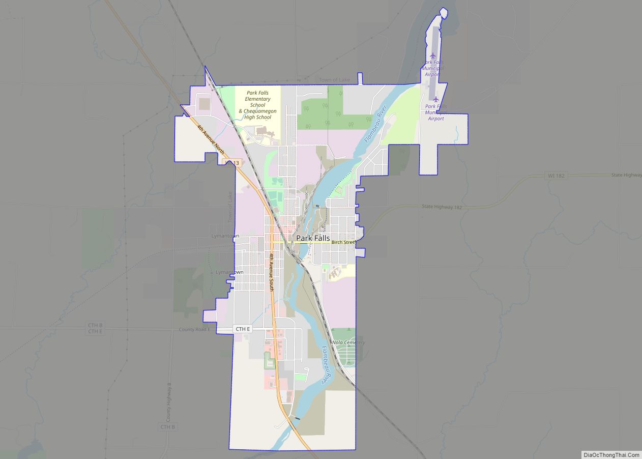
Park Falls is a city in Price County, Wisconsin, United States. The population was 2,462 at the 2010 census. Located in the woods of north central Wisconsin, primarily the Chequamegon National Forest, Park Falls is a small community divided by the North Fork of the Flambeau River, a popular destination for fishing, canoeing and whitewater ... Read more
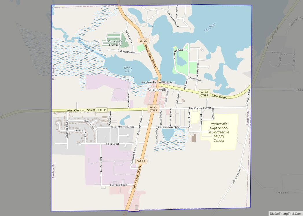
Pardeeville is a village in Columbia County, Wisconsin, United States. The population was 2,115 at the 2010 census. It is part of the Madison Metropolitan Statistical Area. Pardeeville village overview: Name: Pardeeville village LSAD Code: 47 LSAD Description: village (suffix) State: Wisconsin County: Columbia County Elevation: −1,738 ft (247 m) Total Area: 2.27 sq mi (5.87 km²) Land Area: 1.92 sq mi ... Read more
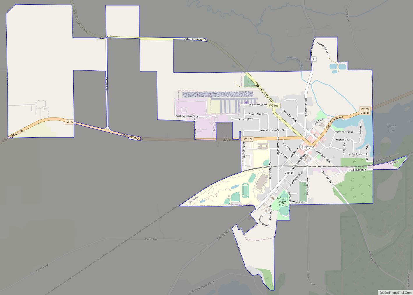
Palmyra is a town in Jefferson County, Wisconsin, United States. The population was 1,707 at the 2020 census. The village of Palmyra is located within the town. Palmyra village overview: Name: Palmyra village LSAD Code: 47 LSAD Description: village (suffix) State: Wisconsin County: Jefferson County FIPS code: 5561025 Online Interactive Map Palmyra online map. Source: ... Read more
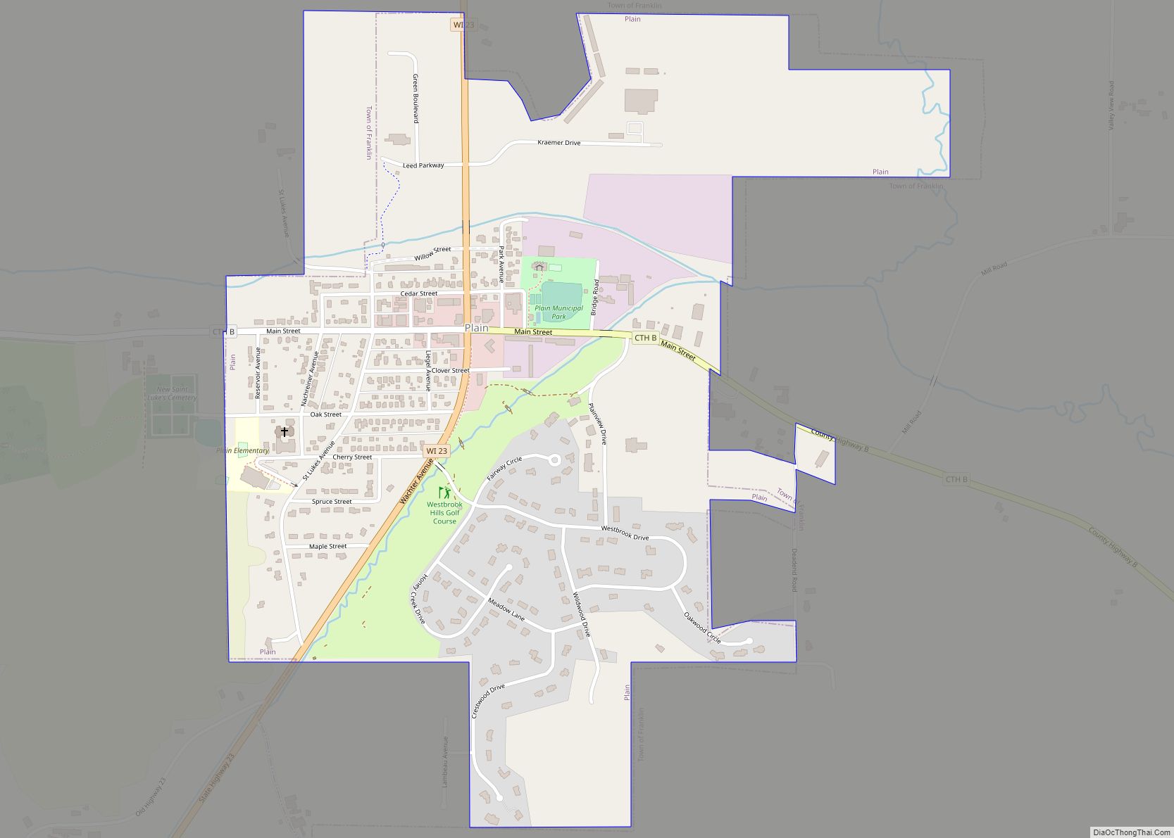
Plain is a village in Sauk County, Wisconsin, United States. The population was 773 at the 2010 census. Plain village overview: Name: Plain village LSAD Code: 47 LSAD Description: village (suffix) State: Wisconsin County: Sauk County Elevation: 810 ft (247 m) Total Area: 0.83 sq mi (2.16 km²) Land Area: 0.83 sq mi (2.16 km²) Water Area: 0.00 sq mi (0.00 km²) Total Population: 773 Population ... Read more
