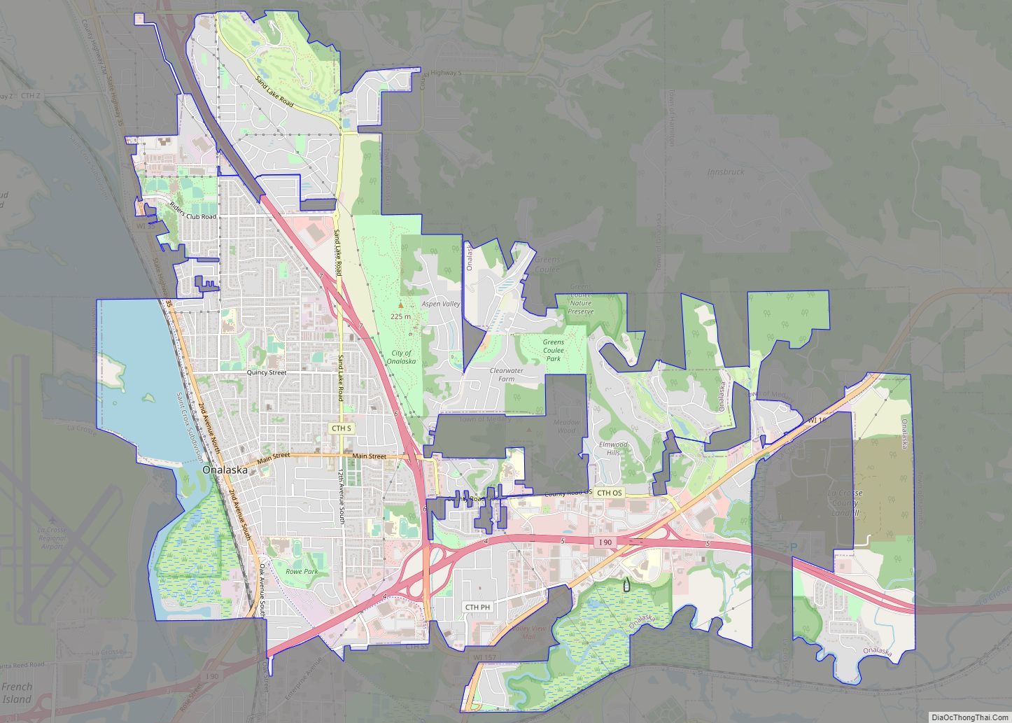
Onalaska is a city in La Crosse County, Wisconsin, United States. The population was 18,803 at the 2020 census. It borders the larger La Crosse, Wisconsin, and is a part of the La Crosse-Onalaska, WI-MN Metropolitan Area.
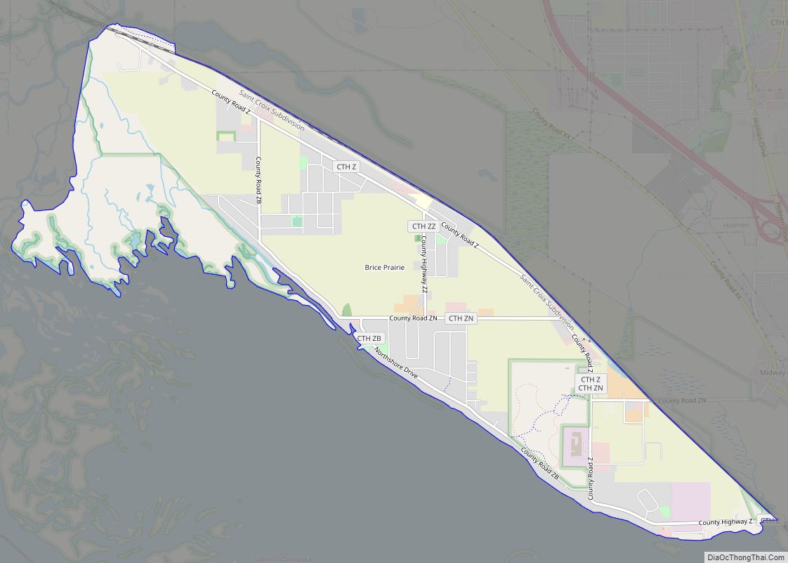
Onalaska is built on a slightly elevated ridge above the Black River. Natural areas include both river bottom land and high, heavily wooded, scenic bluffs. A man-made reservoir at the city’s western edge is known as Lake Onalaska. Onalaska is known as “The Sunfish Capital of the World.”
| Name: | Onalaska city |
|---|---|
| LSAD Code: | 25 |
| LSAD Description: | city (suffix) |
| State: | Wisconsin |
| County: | La Crosse County |
| Elevation: | 700 ft (200 m) |
| Total Area: | 10.97 sq mi (28.43 km²) |
| Land Area: | 10.38 sq mi (26.88 km²) |
| Water Area: | 0.60 sq mi (1.55 km²) |
| Total Population: | 18,803 |
| Population Density: | 1,825.30/sq mi (704.77/km²) |
| Area code: | 608 |
| FIPS code: | 5559925 |
| Website: | www.cityofonalaska.com |
Online Interactive Map
Click on ![]() to view map in "full screen" mode.
to view map in "full screen" mode.
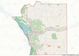
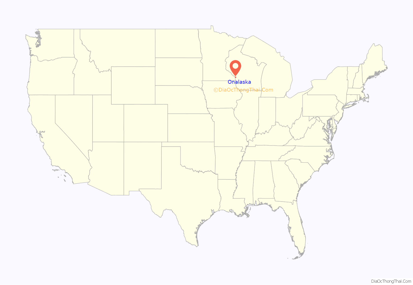
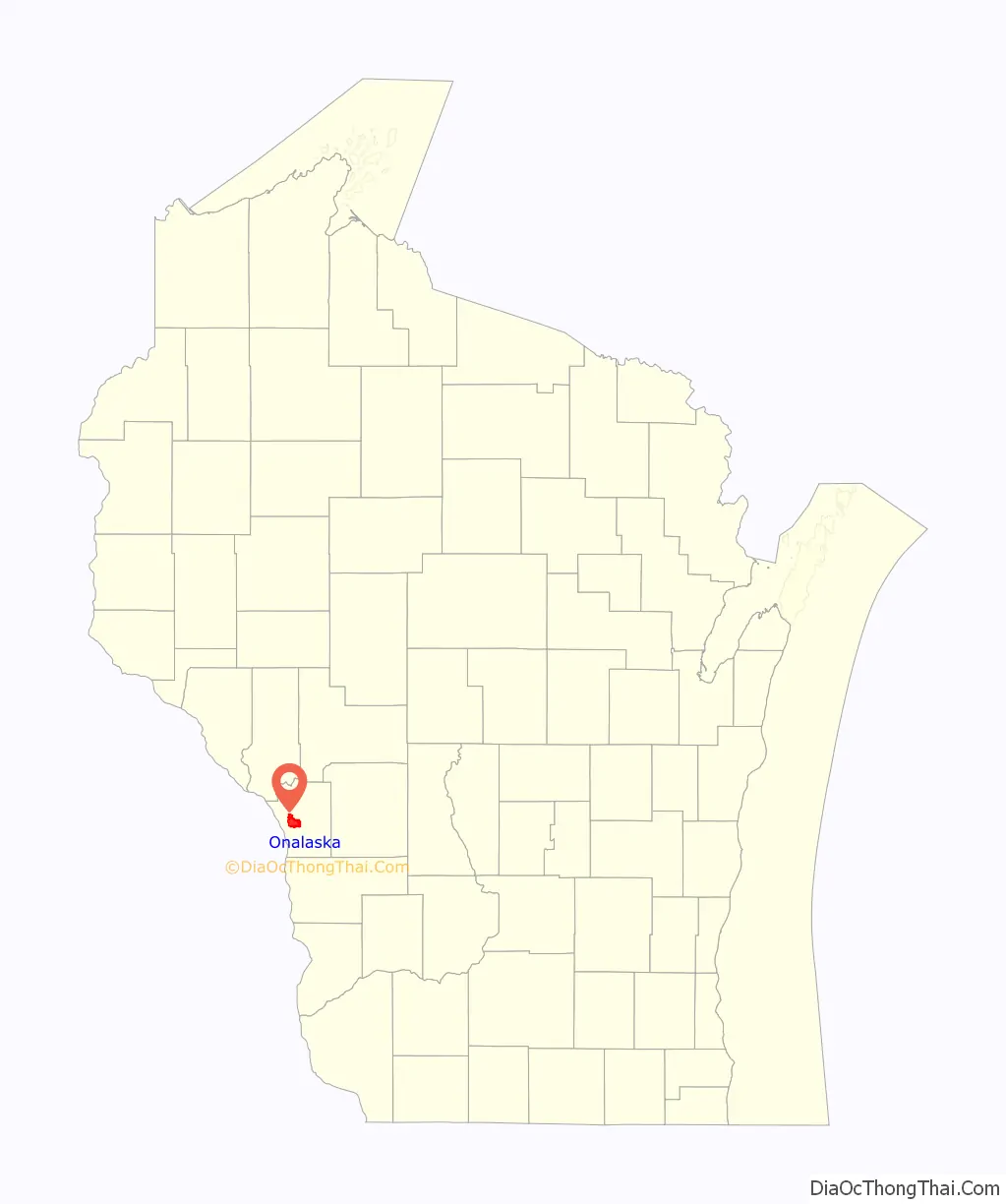
Onalaska location map. Where is Onalaska city?
History
The original village (now city) was platted by Thomas G. Rowe (New York) and John C. Laird (Pennsylvania) in 1851. In its early days, lumbering and related industries served as a basis for its economy.
The name for the city comes from the poem “The Pleasures of Hope”, by the Scottish poet Thomas Campbell. The original spelling of the name in Campbell’s poem was “Oonalaska” (an Aleutian island and fishing village).
Other places named Onalaska are in Arkansas (now defunct), Texas and Washington; they are historically linked to one another through the lumber industry. In Alaska, the modern day city of Unalaska and Unalaska Island are linked to the Onalaskas through Thomas Campbell’s poem. Unalaska is the original Oonalaska or Onalaska or “Ounalashka” (Russian spelling) immortalized by Campbell.
Onalaska Road Map
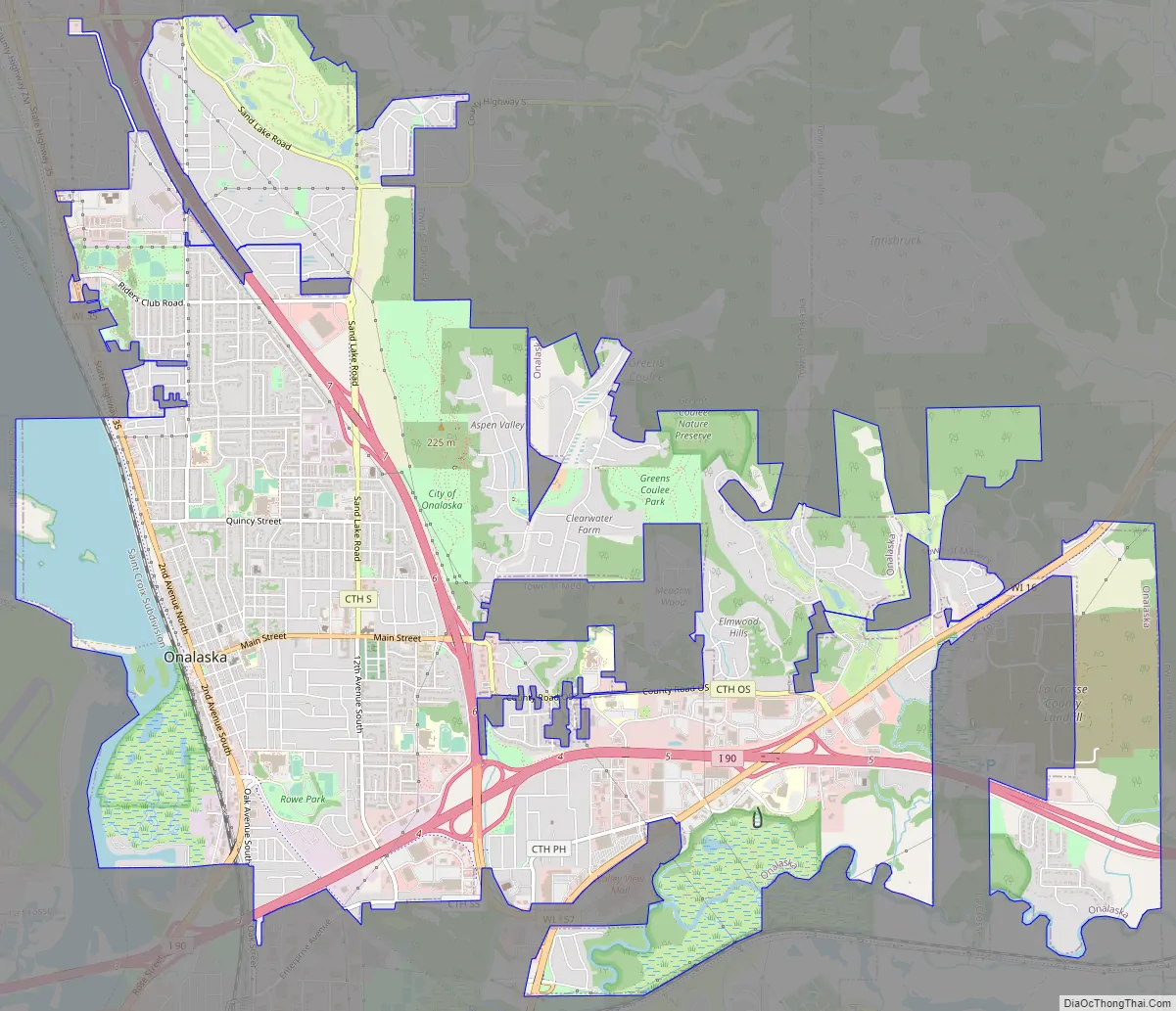
Onalaska city Satellite Map

Geography
According to the United States Census Bureau, the city has a total area of 10.97 square miles (28.41 km), of which 10.38 square miles (26.88 km) is land and 0.60 square miles (1.55 km) is water.
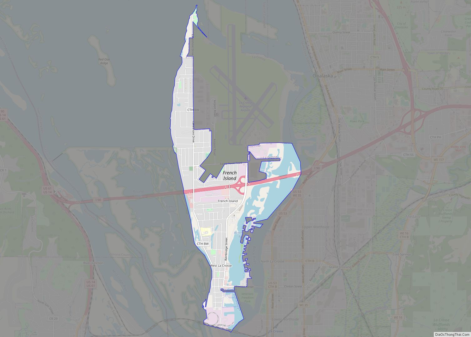
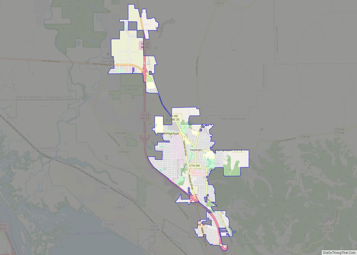
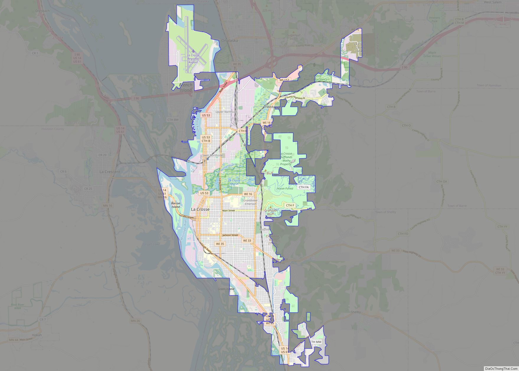
Onalaska lies immediately north of La Crosse, on the Black River. It is the second-largest city in La Crosse County, Wisconsin.
Named streams within the current corporate limits of the city include the Black River, the La Crosse River and Sand Lake Coulee Creek. In the 1930s, the construction of Lake Onalaska resulted in the flooding and eventual disappearance of a shallow, natural body of water, Rice Lake, and several smaller ponds in the Black River bottoms area.
Brice Prairie is an urban reserve area within the City of Onalaska, located below the ridge on which most of the city is situated. It lies to the northwest of the city’s current northern border and is directly on Lake Onalaska.
See also
Map of Wisconsin State and its subdivision:- Adams
- Ashland
- Barron
- Bayfield
- Brown
- Buffalo
- Burnett
- Calumet
- Chippewa
- Clark
- Columbia
- Crawford
- Dane
- Dodge
- Door
- Douglas
- Dunn
- Eau Claire
- Florence
- Fond du Lac
- Forest
- Grant
- Green
- Green Lake
- Iowa
- Iron
- Jackson
- Jefferson
- Juneau
- Kenosha
- Kewaunee
- La Crosse
- Lafayette
- Lake Michigan
- Lake Superior
- Langlade
- Lincoln
- Manitowoc
- Marathon
- Marinette
- Marquette
- Menominee
- Milwaukee
- Monroe
- Oconto
- Oneida
- Outagamie
- Ozaukee
- Pepin
- Pierce
- Polk
- Portage
- Price
- Racine
- Richland
- Rock
- Rusk
- Saint Croix
- Sauk
- Sawyer
- Shawano
- Sheboygan
- Taylor
- Trempealeau
- Vernon
- Vilas
- Walworth
- Washburn
- Washington
- Waukesha
- Waupaca
- Waushara
- Winnebago
- Wood
- Alabama
- Alaska
- Arizona
- Arkansas
- California
- Colorado
- Connecticut
- Delaware
- District of Columbia
- Florida
- Georgia
- Hawaii
- Idaho
- Illinois
- Indiana
- Iowa
- Kansas
- Kentucky
- Louisiana
- Maine
- Maryland
- Massachusetts
- Michigan
- Minnesota
- Mississippi
- Missouri
- Montana
- Nebraska
- Nevada
- New Hampshire
- New Jersey
- New Mexico
- New York
- North Carolina
- North Dakota
- Ohio
- Oklahoma
- Oregon
- Pennsylvania
- Rhode Island
- South Carolina
- South Dakota
- Tennessee
- Texas
- Utah
- Vermont
- Virginia
- Washington
- West Virginia
- Wisconsin
- Wyoming