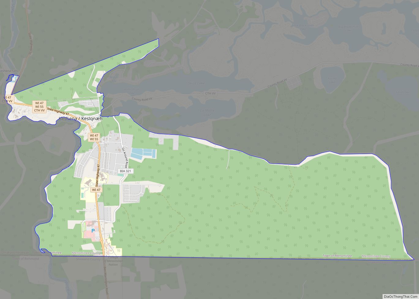
Keshena (Menominee: Kesīqnæh) is a census-designated place (CDP) in and the county seat of Menominee County, Wisconsin, United States. Located on the Menominee Indian Reservation, it had a population of 1,257 at the 2020 census. Keshena was named for an Indian chief; the Menominee name is Kesīqnaeh which means “Swift Flying”. Keshena CDP overview: Name: ... Read more
Wisconsin Cities and Places
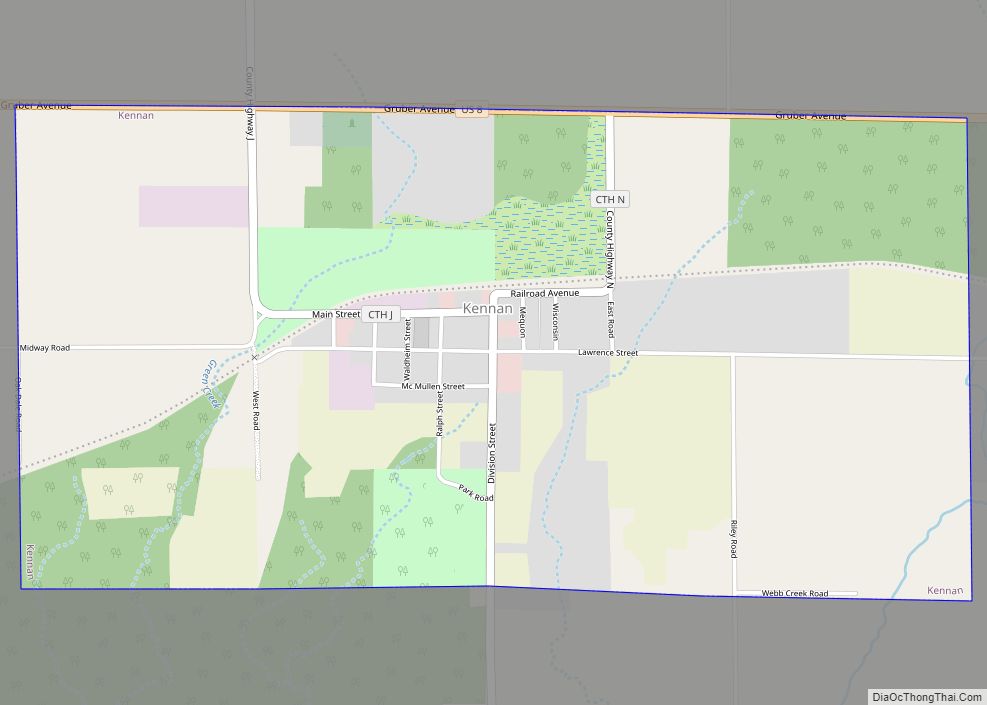
Kennan is a town in Price County, Wisconsin, United States. The population was 378 at the 2000 census. The Village of Kennan is located within the town. Kennan village overview: Name: Kennan village LSAD Code: 47 LSAD Description: village (suffix) State: Wisconsin County: Price County FIPS code: 5539175 Online Interactive Map Kennan online map. Source: ... Read more
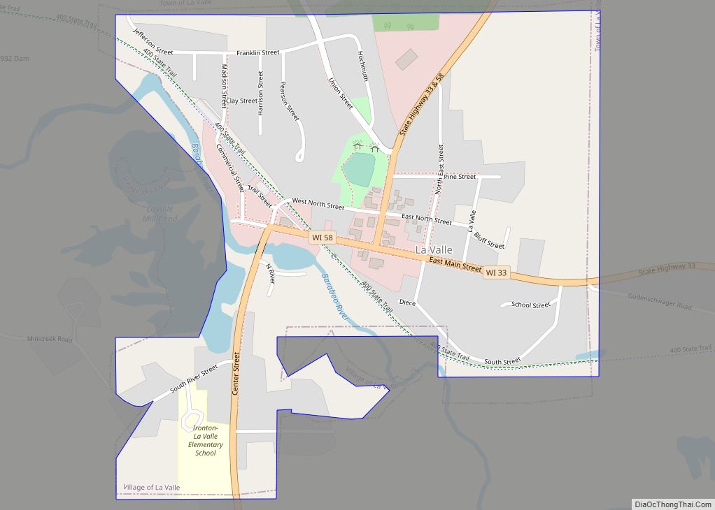
The Town of La Valle is located in Sauk County, Wisconsin, United States. La Valle is a name derived from French meaning “the valley”. The population was 1,203 at the 2000 census. The Village of La Valle is located within the town. La Valle village overview: Name: La Valle village LSAD Code: 47 LSAD Description: ... Read more
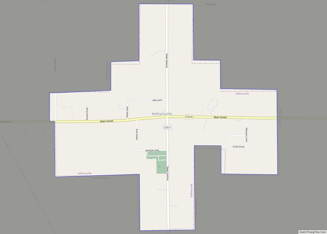
Kellnersville is a village in Manitowoc County, Wisconsin, United States. The population was 307 at the 2020 census. Kellnersville village overview: Name: Kellnersville village LSAD Code: 47 LSAD Description: village (suffix) State: Wisconsin County: Manitowoc County Elevation: 830 ft (253 m) Total Area: 0.54 sq mi (1.40 km²) Land Area: 0.54 sq mi (1.40 km²) Water Area: 0.00 sq mi (0.00 km²) Total Population: 307 Population ... Read more
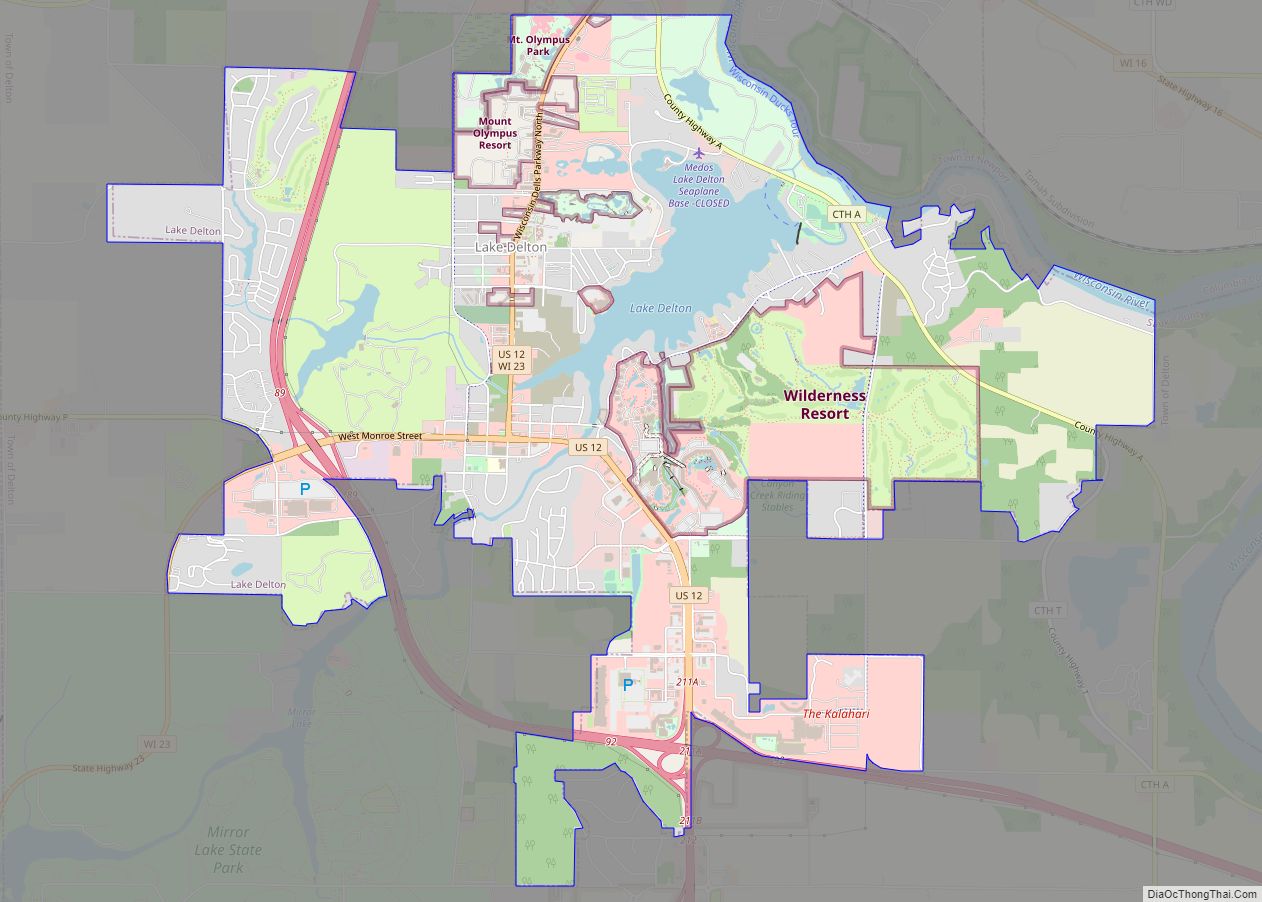
Lake Delton is a village located on the Wisconsin River in Sauk County, Wisconsin, United States. The population was 3,501 at the 2020 census. Lake Delton, along with the nearby Wisconsin Dells, is a resort area and a center for tourism in the upper Midwest. Lake Delton is included in the Baraboo Micropolitan Area which ... Read more
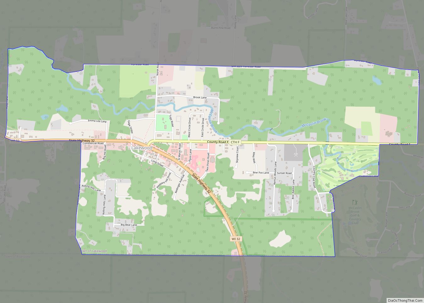
Lakewood is an unincorporated census-designated place located in the town of Lakewood, Oconto County, Wisconsin, United States. Lakewood is located on Wisconsin Highway 32 22 miles (35 km) north-northwest of Suring. Lakewood has a post office with ZIP code 54138. As of the 2010 census, its population was 323. Lakewood CDP overview: Name: Lakewood CDP LSAD ... Read more
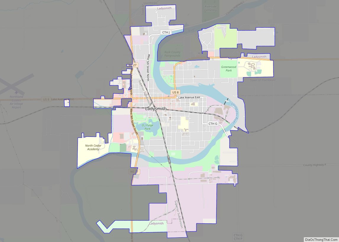
Ladysmith is a city and the county seat of Rusk County, Wisconsin, United States. The population was 3,414 at the 2010 census. Ladysmith city overview: Name: Ladysmith city LSAD Code: 25 LSAD Description: city (suffix) State: Wisconsin County: Rusk County Elevation: 1,145 ft (349 m) Total Area: 4.59 sq mi (11.90 km²) Land Area: 4.22 sq mi (10.93 km²) Water Area: 0.38 sq mi (0.97 km²) ... Read more
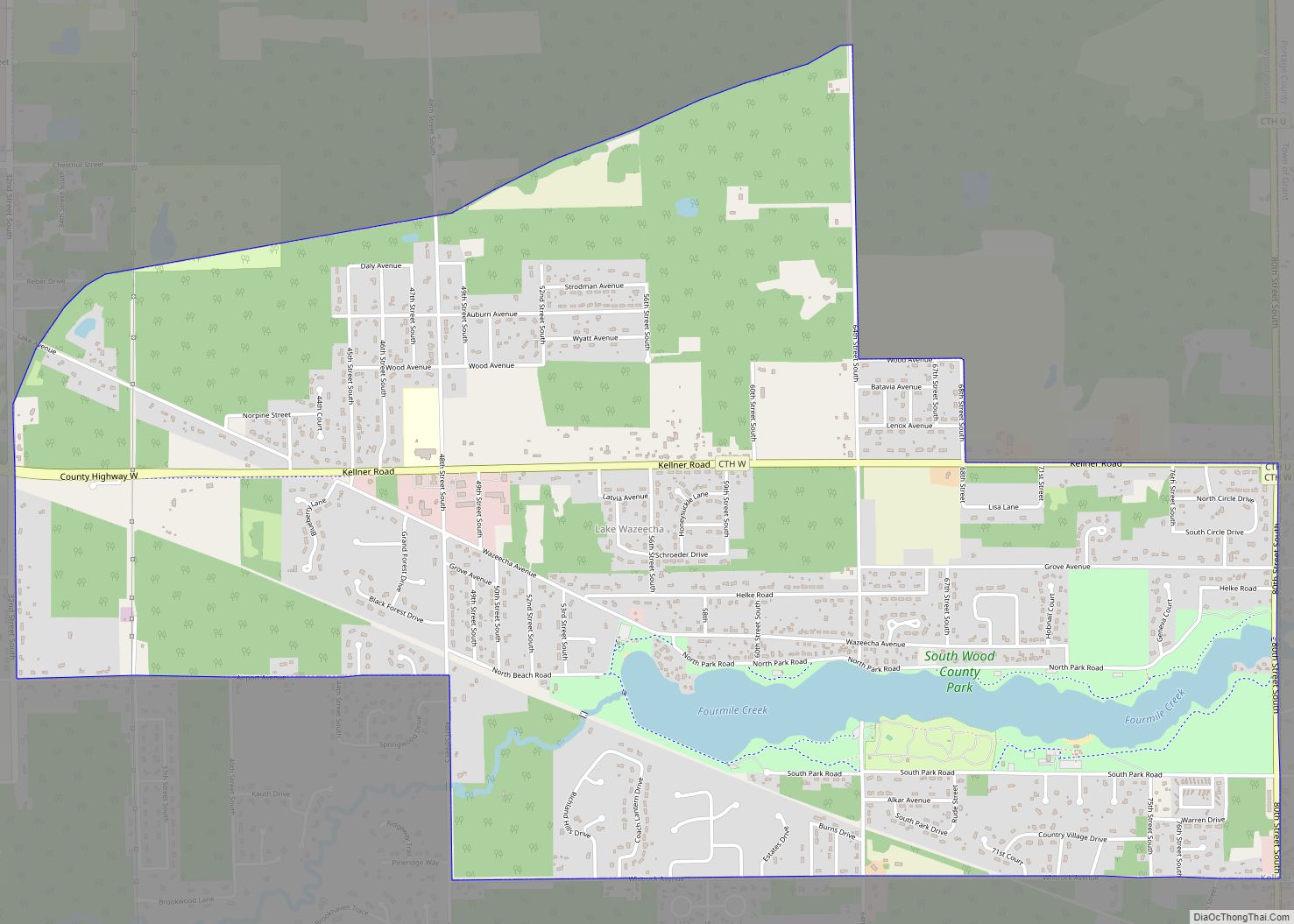
Lake Wazeecha is a census-designated place (CDP) in the town of Grand Rapids, Wood County, Wisconsin, United States. The population was 2,651 at the 2010 census. Lake Wazeecha CDP overview: Name: Lake Wazeecha CDP LSAD Code: 57 LSAD Description: CDP (suffix) State: Wisconsin County: Wood County Elevation: 1,033 ft (315 m) Total Area: 3.9 sq mi (10.2 km²) Land Area: ... Read more
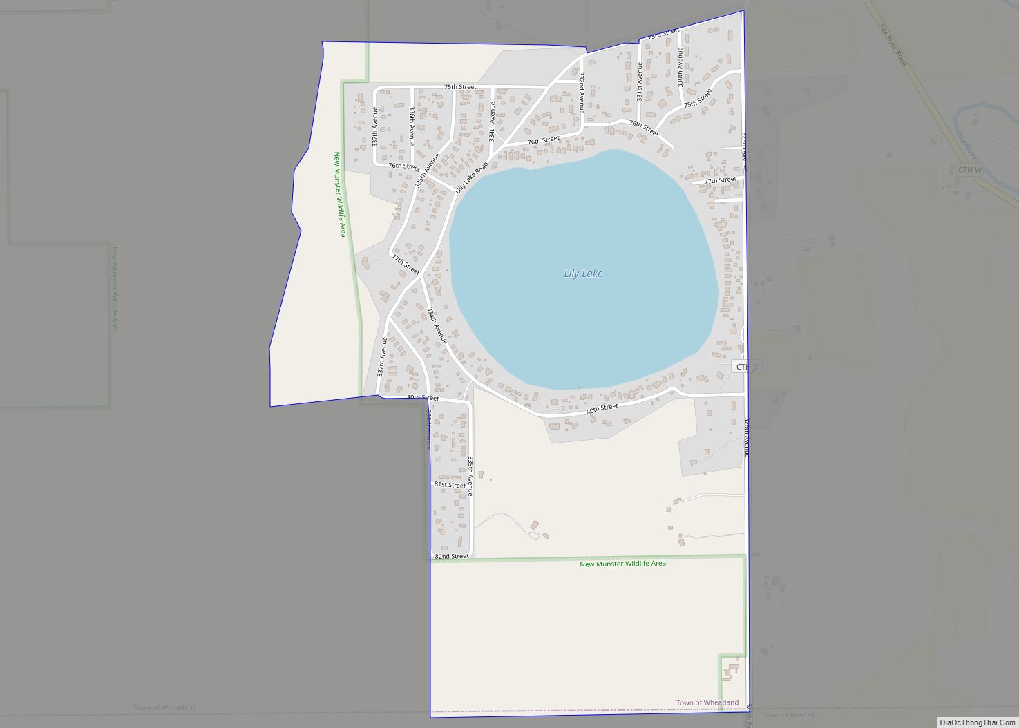
Lily Lake is a census-designated place in the town of Wheatland, Kenosha County, Wisconsin, United States. Its population was 508 as of the 2020 census. Lily Lake CDP overview: Name: Lily Lake CDP LSAD Code: 57 LSAD Description: CDP (suffix) State: Wisconsin County: Kenosha County Elevation: 791 ft (241 m) Total Area: 0.658 sq mi (1.70 km²) Land Area: 0.525 sq mi ... Read more
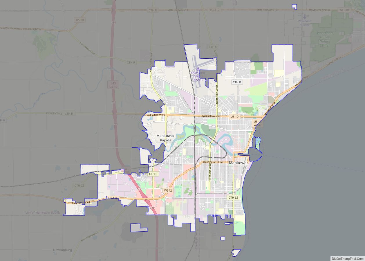
Manitowoc (/ˈmænɪtəwɔːk/) is a city in and the county seat of Manitowoc County, Wisconsin, United States. The city is located on Lake Michigan at the mouth of the Manitowoc River. According to the 2020 census, Manitowoc had a population of 34,626, with over 50,000 residents in the surrounding communities. Manitowoc city overview: Name: Manitowoc city ... Read more
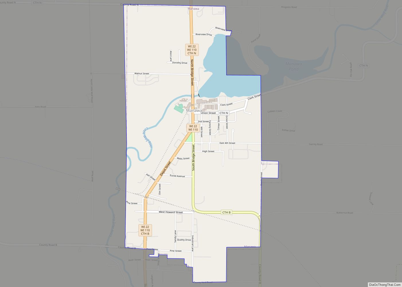
Manawa is a city in Waupaca County, Wisconsin, United States. The population was 1,441 at the 2020 census. Manawa city overview: Name: Manawa city LSAD Code: 25 LSAD Description: city (suffix) State: Wisconsin County: Waupaca County Elevation: 817 ft (249 m) Total Area: 1.77 sq mi (4.58 km²) Land Area: 1.63 sq mi (4.22 km²) Water Area: 0.14 sq mi (0.36 km²) Total Population: 1,441 Population ... Read more
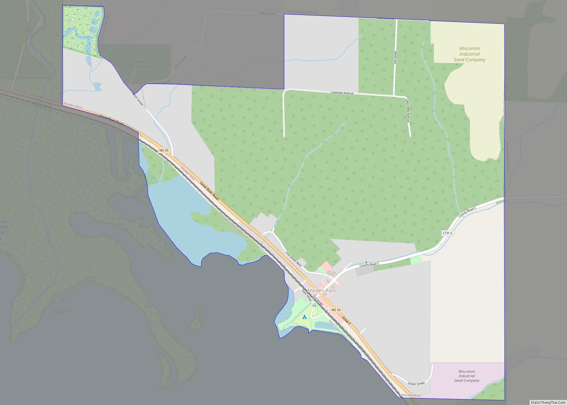
Maiden Rock is a town in Pierce County, Wisconsin, United States. The population was 589 at the 2000 census. The Village of Maiden Rock is located within the town. The unincorporated communities of Nerike and Warrentown are located in the town. The unincorporated community of Lund is also partially located within the town. Maiden Rock ... Read more
