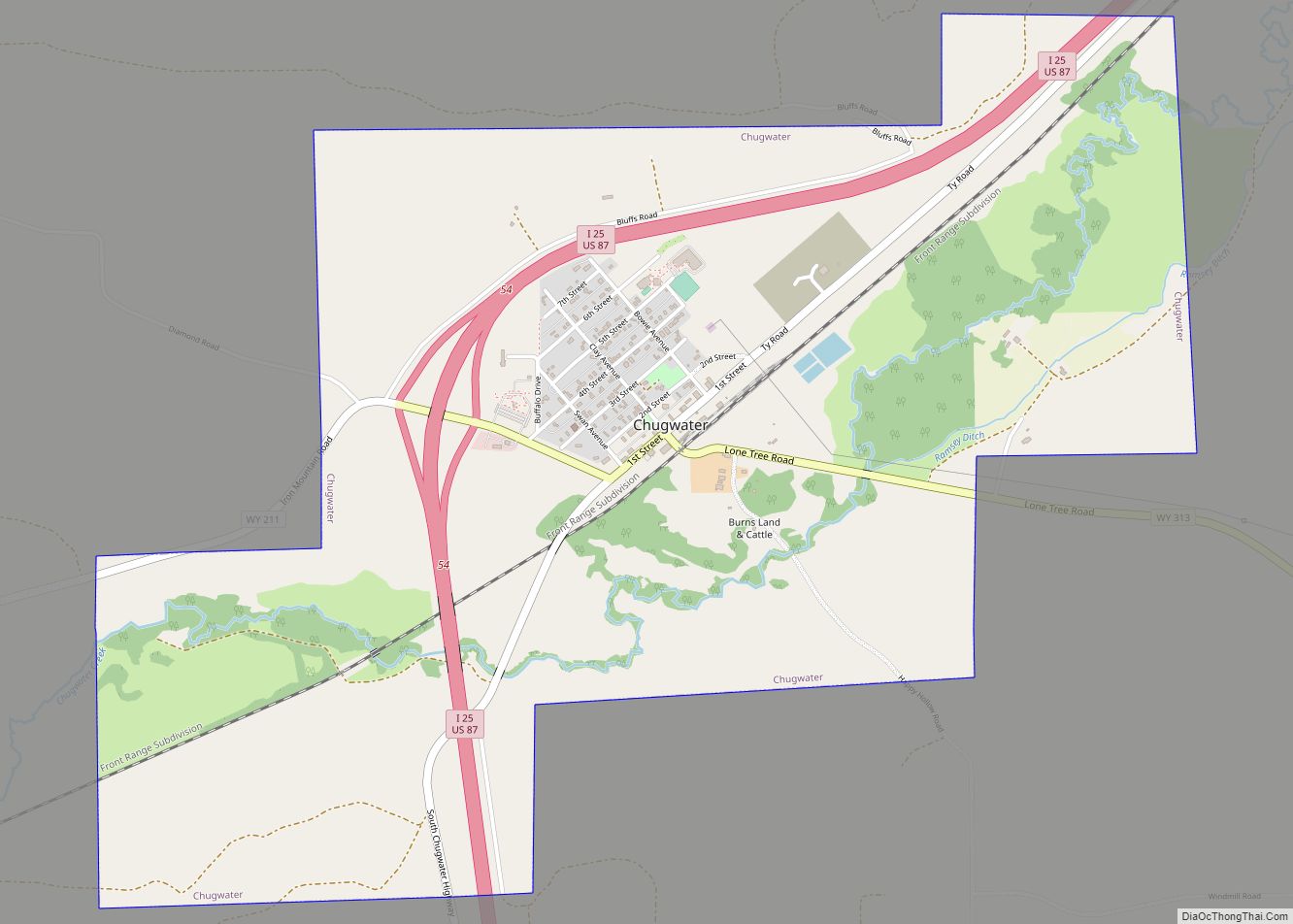
Chugwater is a town in Platte County, Wyoming, United States. As of the 2020 census, the town population was 175. Chugwater town overview: Name: Chugwater town LSAD Code: 43 LSAD Description: town (suffix) State: Wyoming County: Platte County Elevation: 5,295 ft (1,614 m) Total Area: 3.06 sq mi (7.93 km²) Land Area: 3.06 sq mi (7.93 km²) Water Area: 0.00 sq mi (0.00 km²) Total Population: ... Read more
Wyoming Cities and Places
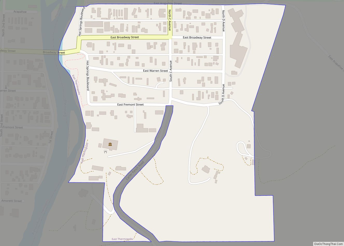
East Thermopolis is a town in Hot Springs County, Wyoming, United States. The population was 229 at the 2020 census. East Thermopolis town overview: Name: East Thermopolis town LSAD Code: 43 LSAD Description: town (suffix) State: Wyoming County: Hot Springs County Elevation: 4,341 ft (1,323 m) Total Area: 0.18 sq mi (0.47 km²) Land Area: 0.18 sq mi (0.47 km²) Water Area: 0.00 sq mi ... Read more
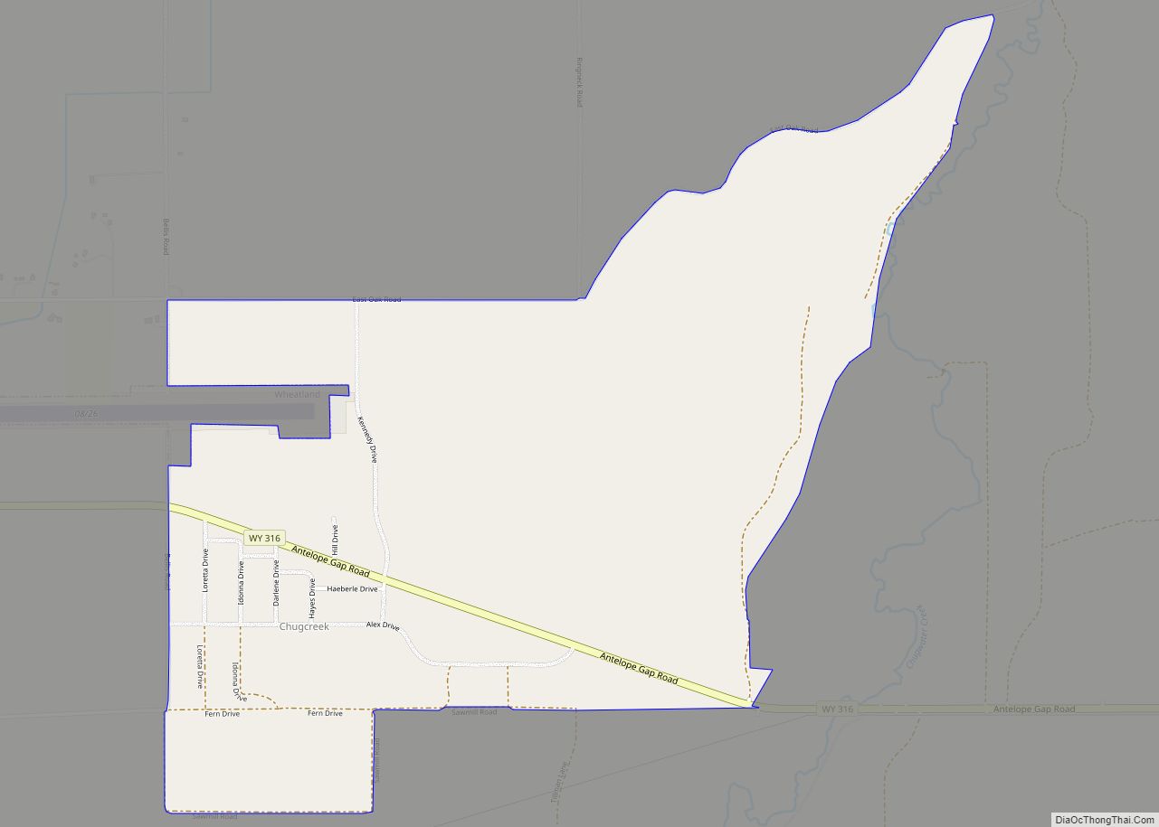
Chugcreek is a census-designated place (CDP) in Platte County, Wyoming, United States. The population was 156 at the 2010 census. Chugcreek CDP overview: Name: Chugcreek CDP LSAD Code: 57 LSAD Description: CDP (suffix) State: Wyoming County: Platte County Elevation: 4,757 ft (1,450 m) Total Area: 1.9 sq mi (5.0 km²) Land Area: 1.9 sq mi (5.0 km²) Water Area: 0.0 sq mi (0.0 km²) Total Population: ... Read more
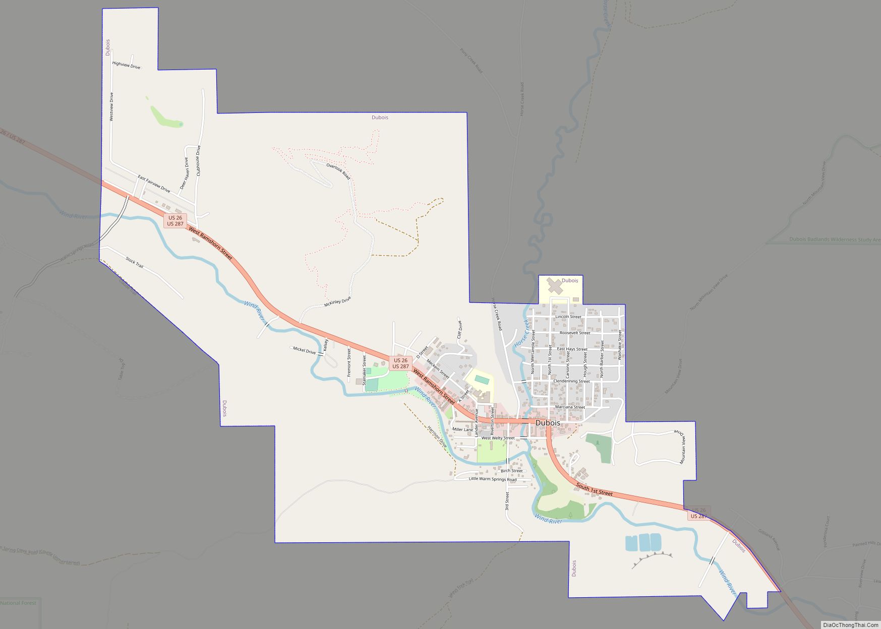
Dubois is a town in Fremont County, Wyoming, United States. The population was 971 at the 2010 census, but dropped to 911 in the 2020 census. The population nearly doubles in the summer with many part-time residents. While the Town of Dubois includes 3.49 mi² within the Town Limits which constitutes a population density of ... Read more
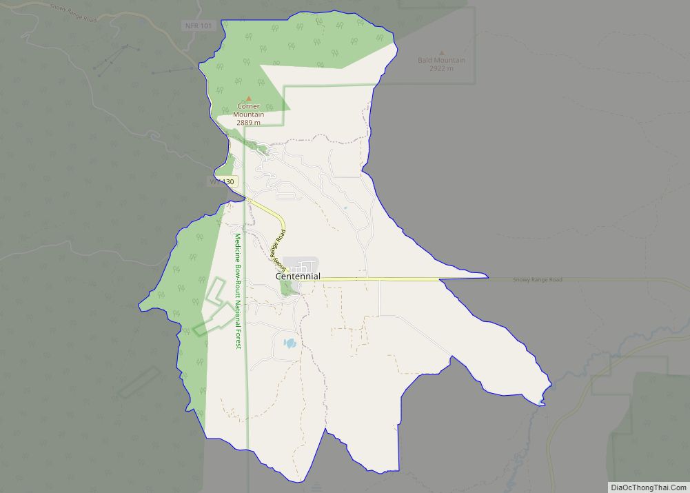
Centennial is a small mountain-town in Albany County, Wyoming, United States. It serves a fairly large surrounding landscape, along with a few ranches, located along a gently sloping hillside traversed by a highway. Because it has been, since 1980 or later, included in a census-designated place (CDP), bearing the town’s name, specific demographics characterizing the ... Read more
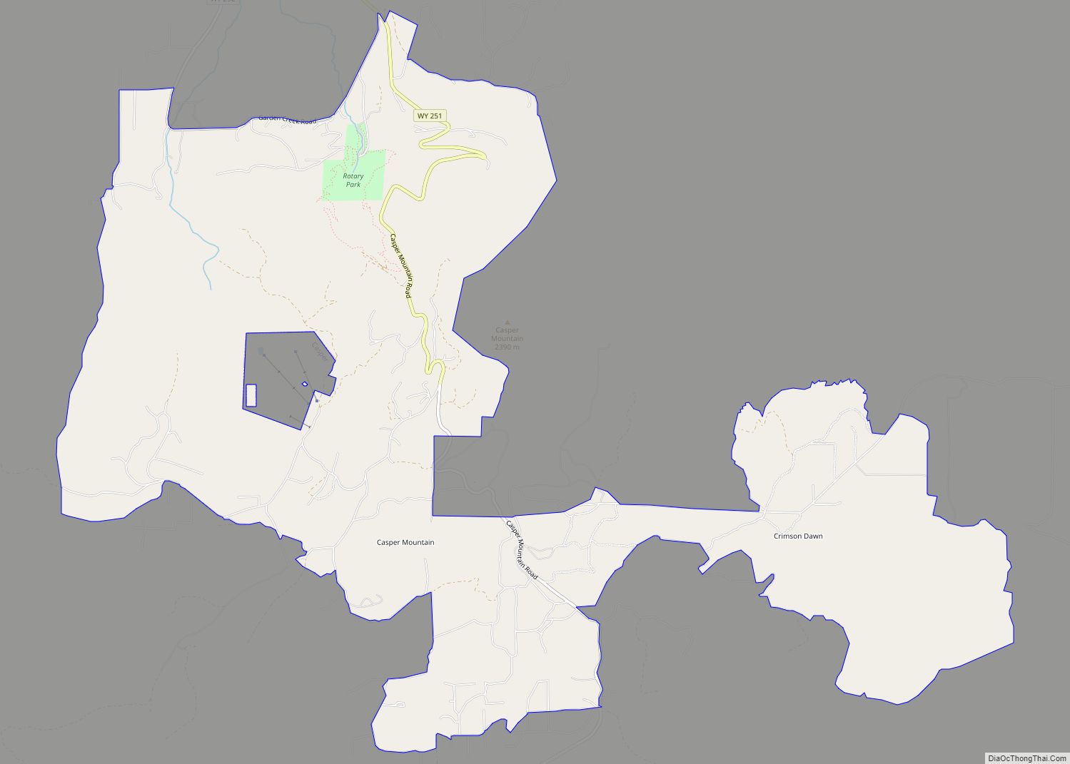
Casper Mountain is a census-designated place (CDP) on Casper Mountain in Natrona County, Wyoming, United States. It is part of the Casper, Wyoming Metropolitan Statistical Area. The population was 401 at the 2010 census. Casper Mountain CDP overview: Name: Casper Mountain CDP LSAD Code: 57 LSAD Description: CDP (suffix) State: Wyoming County: Natrona County Elevation: ... Read more
Dixon is a town in Carbon County, Wyoming, United States. The population was 97 at the 2010 census. Dixon town overview: Name: Dixon town LSAD Code: 43 LSAD Description: town (suffix) State: Wyoming County: Carbon County Elevation: 6,355 ft (1,937 m) Total Area: 0.13 sq mi (0.34 km²) Land Area: 0.13 sq mi (0.34 km²) Water Area: 0.00 sq mi (0.00 km²) Total Population: 97 Population ... Read more
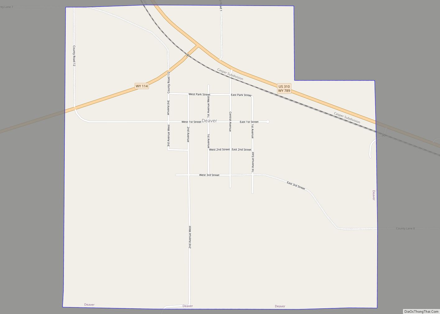
Deaver is a town in Big Horn County, Wyoming, United States. The population was 178 at the 2010 census. Deaver town overview: Name: Deaver town LSAD Code: 43 LSAD Description: town (suffix) State: Wyoming County: Big Horn County Elevation: 4,108 ft (1,252 m) Total Area: 1.01 sq mi (2.62 km²) Land Area: 1.01 sq mi (2.62 km²) Water Area: 0.00 sq mi (0.00 km²) Total Population: ... Read more
Fairview (CDP) is in Lincoln County, Wyoming, United States. The population was 275 at the 2010 census. Fairview CDP overview: Name: Fairview CDP LSAD Code: 57 LSAD Description: CDP (suffix) State: Wyoming County: Lincoln County Elevation: 6,207 ft (1,892 m) Total Area: 2.8 sq mi (7.2 km²) Land Area: 2.8 sq mi (7.2 km²) Water Area: 0.0 sq mi (0.0 km²) Total Population: 275 Population Density: ... Read more
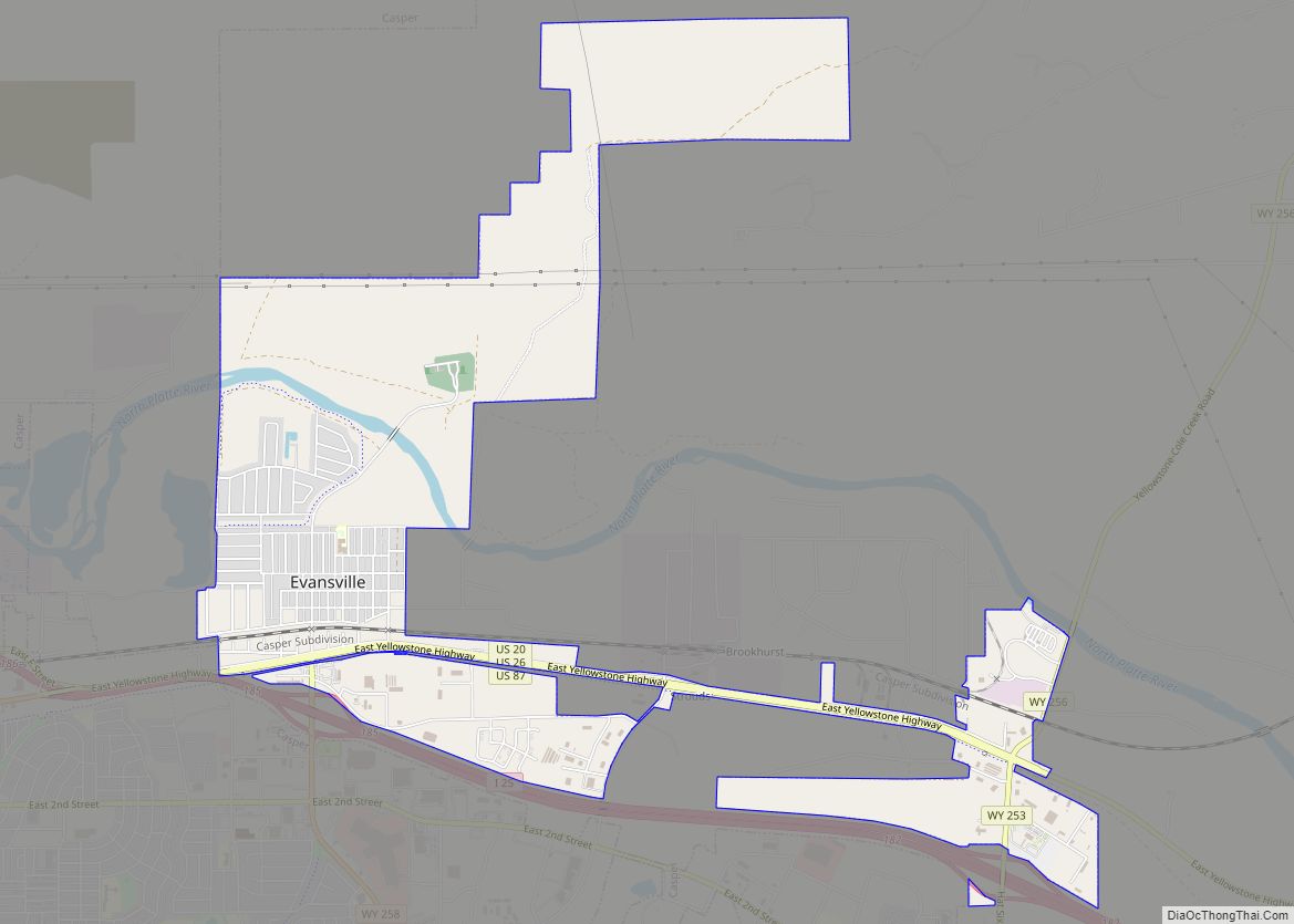
Evansville is a town in Natrona County, Wyoming, United States. It is part of the Casper, Wyoming Metropolitan Statistical Area. The population was 2,544 at the 2010 census. Evansville is the location of the Oregon Trail State Veterans Cemetery. Evansville town overview: Name: Evansville town LSAD Code: 43 LSAD Description: town (suffix) State: Wyoming County: ... Read more
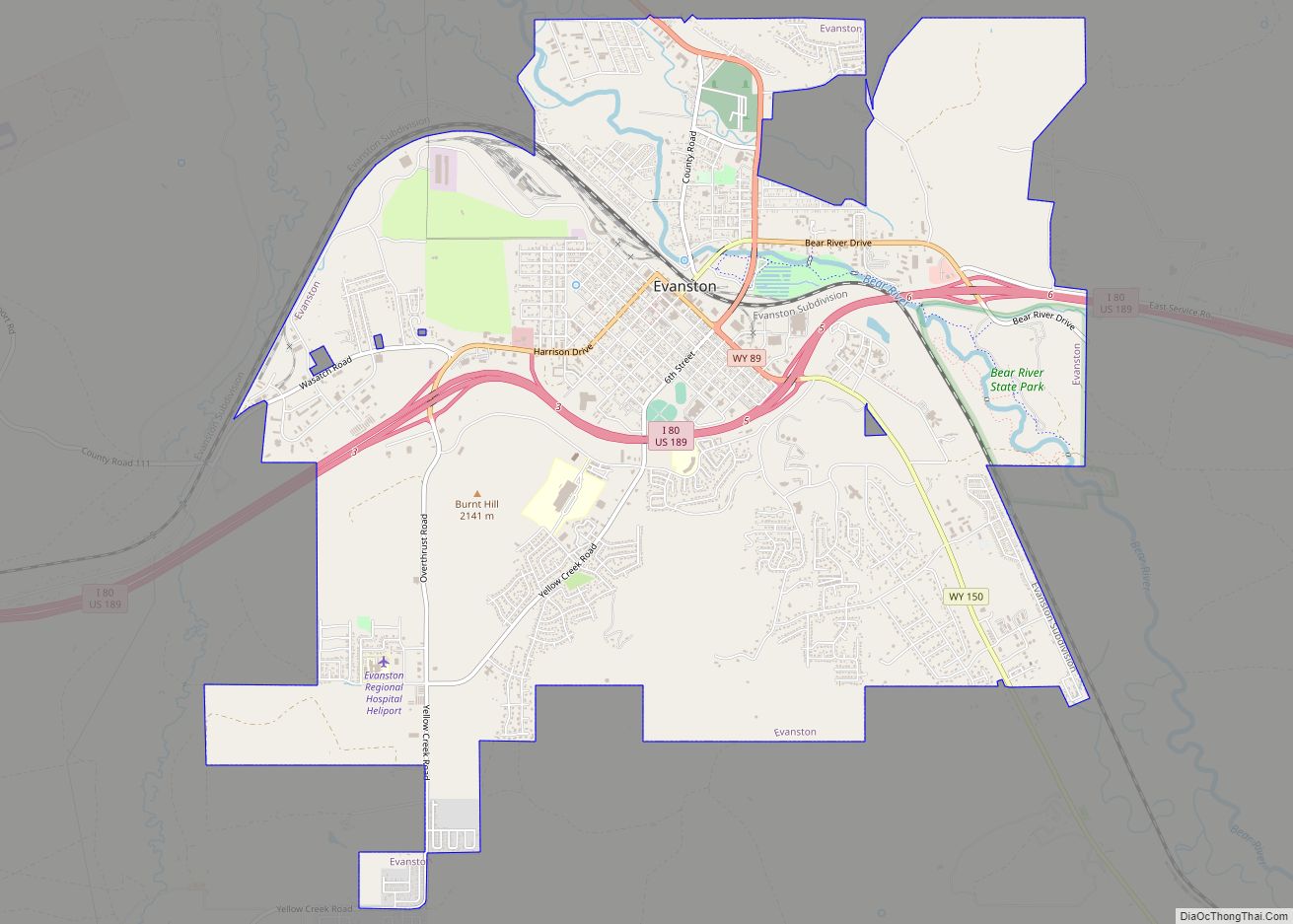
Evanston is a city in and the county seat of Uinta County, Wyoming, United States. The population was 11,747 at the 2020 census. It is located near the border with Utah. Evanston city overview: Name: Evanston city LSAD Code: 25 LSAD Description: city (suffix) State: Wyoming County: Uinta County Elevation: 6,749 ft (2,057 m) Total Area: 10.33 sq mi ... Read more
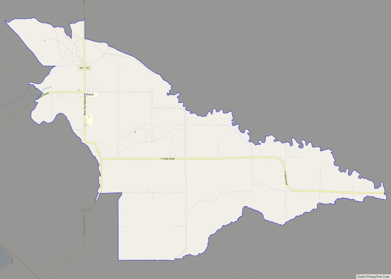
Ethete (Arapaho: Koonoutoseii’) is a census-designated place (CDP) in Fremont County, Wyoming, United States. The population was 1,553 at the 2010 census. The town is located on the Wind River Indian Reservation. It grew up around the Episcopal St. Michael’s Mission. Ethete CDP overview: Name: Ethete CDP LSAD Code: 57 LSAD Description: CDP (suffix) State: ... Read more
