Evansville is a town in Natrona County, Wyoming, United States. It is part of the Casper, Wyoming Metropolitan Statistical Area. The population was 2,544 at the 2010 census.
Evansville is the location of the Oregon Trail State Veterans Cemetery.
| Name: | Evansville town |
|---|---|
| LSAD Code: | 43 |
| LSAD Description: | town (suffix) |
| State: | Wyoming |
| County: | Natrona County |
| Elevation: | 5,125 ft (1,562 m) |
| Total Area: | 3.46 sq mi (8.97 km²) |
| Land Area: | 3.46 sq mi (8.97 km²) |
| Water Area: | 0.00 sq mi (0.00 km²) |
| Total Population: | 2,544 |
| Population Density: | 855.66/sq mi (330.37/km²) |
| ZIP code: | 82636 |
| Area code: | 307 |
| FIPS code: | 5625765 |
| GNISfeature ID: | 1588347 |
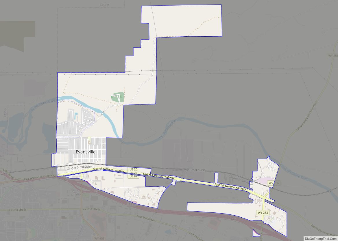
Online Interactive Map
Click on ![]() to view map in "full screen" mode.
to view map in "full screen" mode.
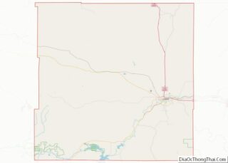
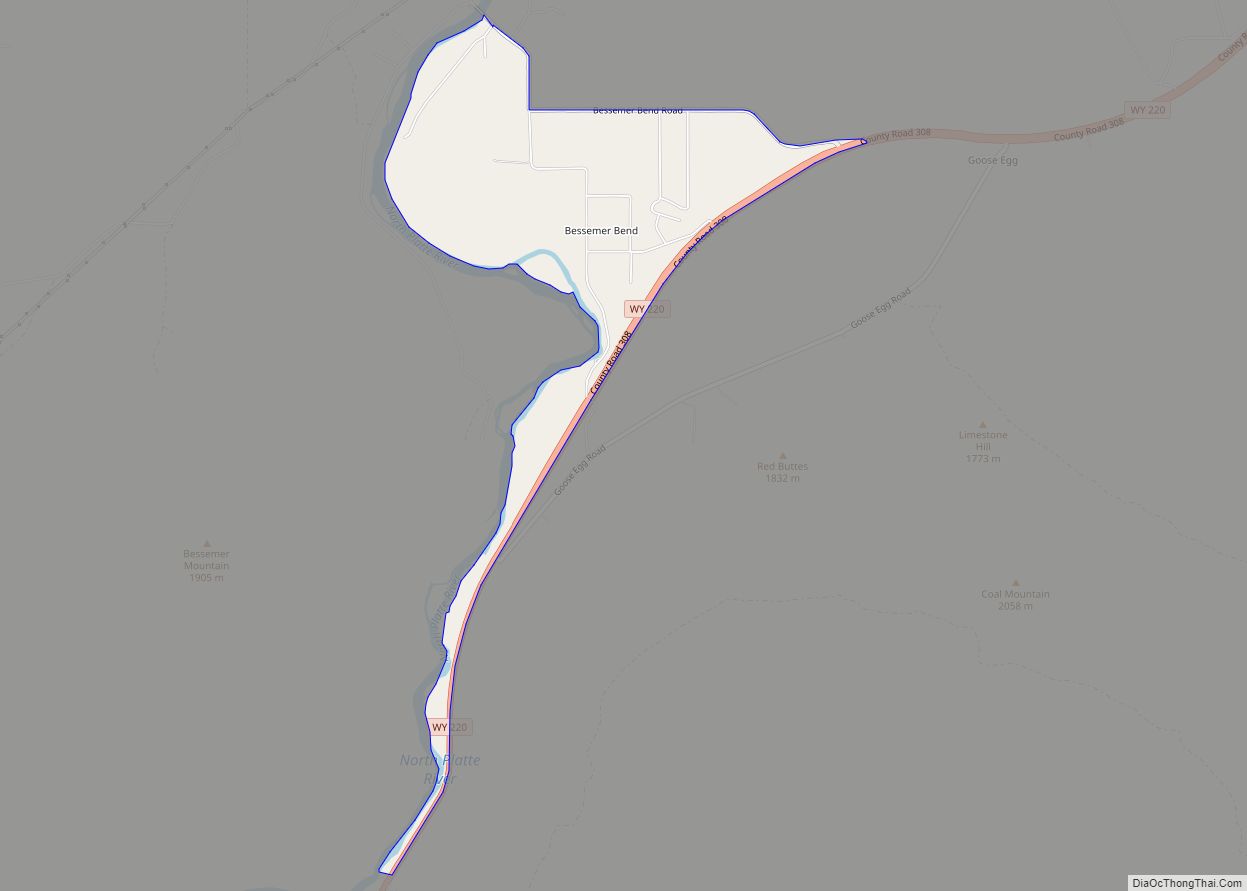
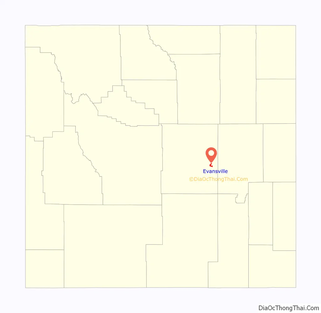
Evansville location map. Where is Evansville town?

History
The town was named after W.T. Evans, a blacksmith.
Evans settled in the area in 1902, and built a successful ranch. From 1918 to 1920, portions of the ranch were sold to the Socony-Mobil and Texas Oil Companies.
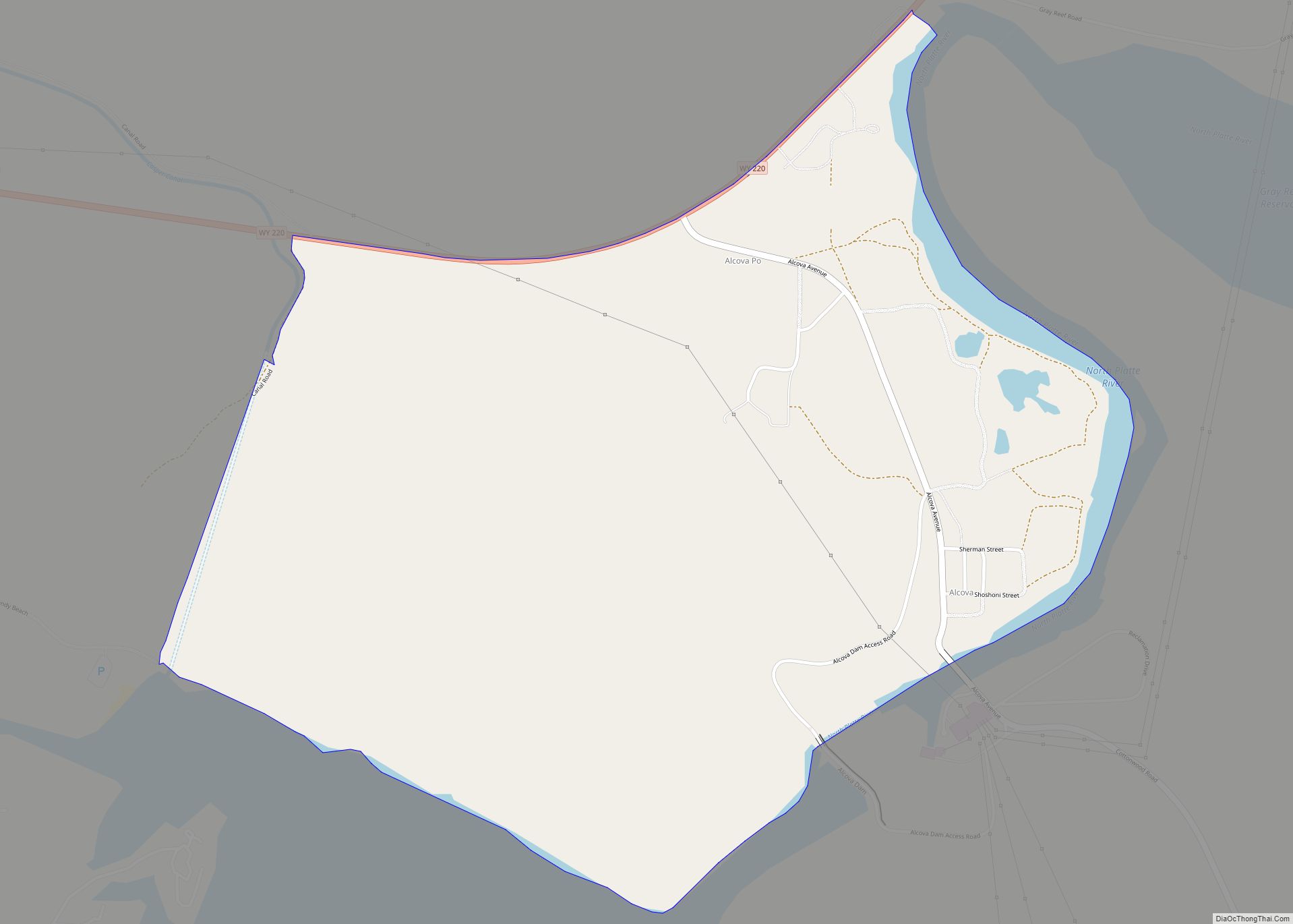
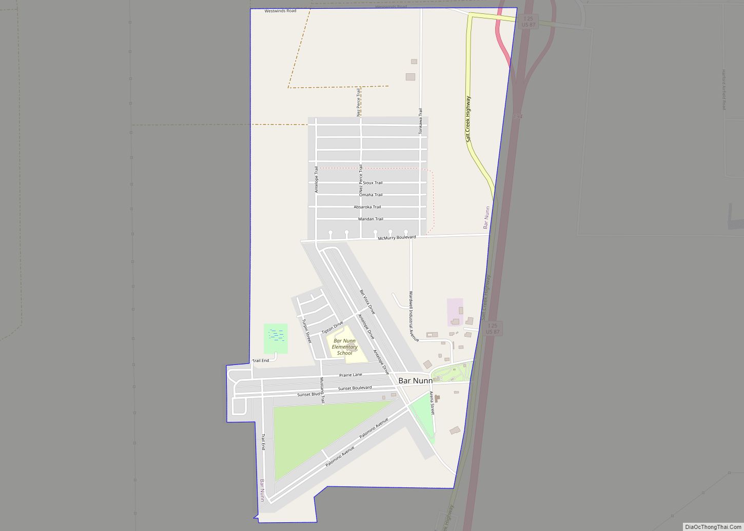
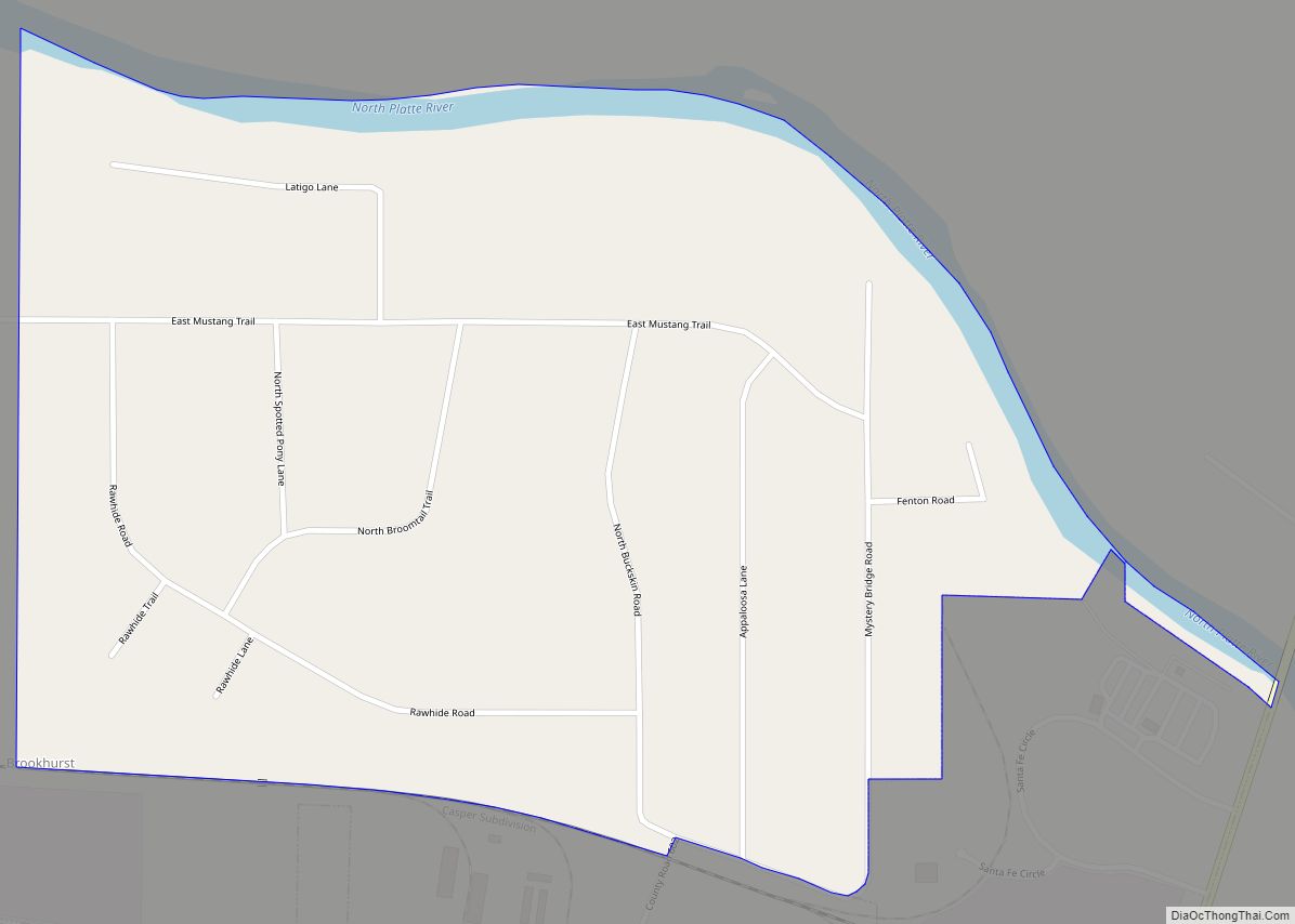
Evansville Road Map
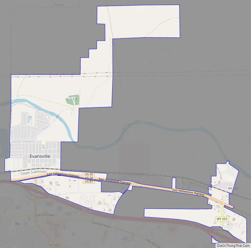
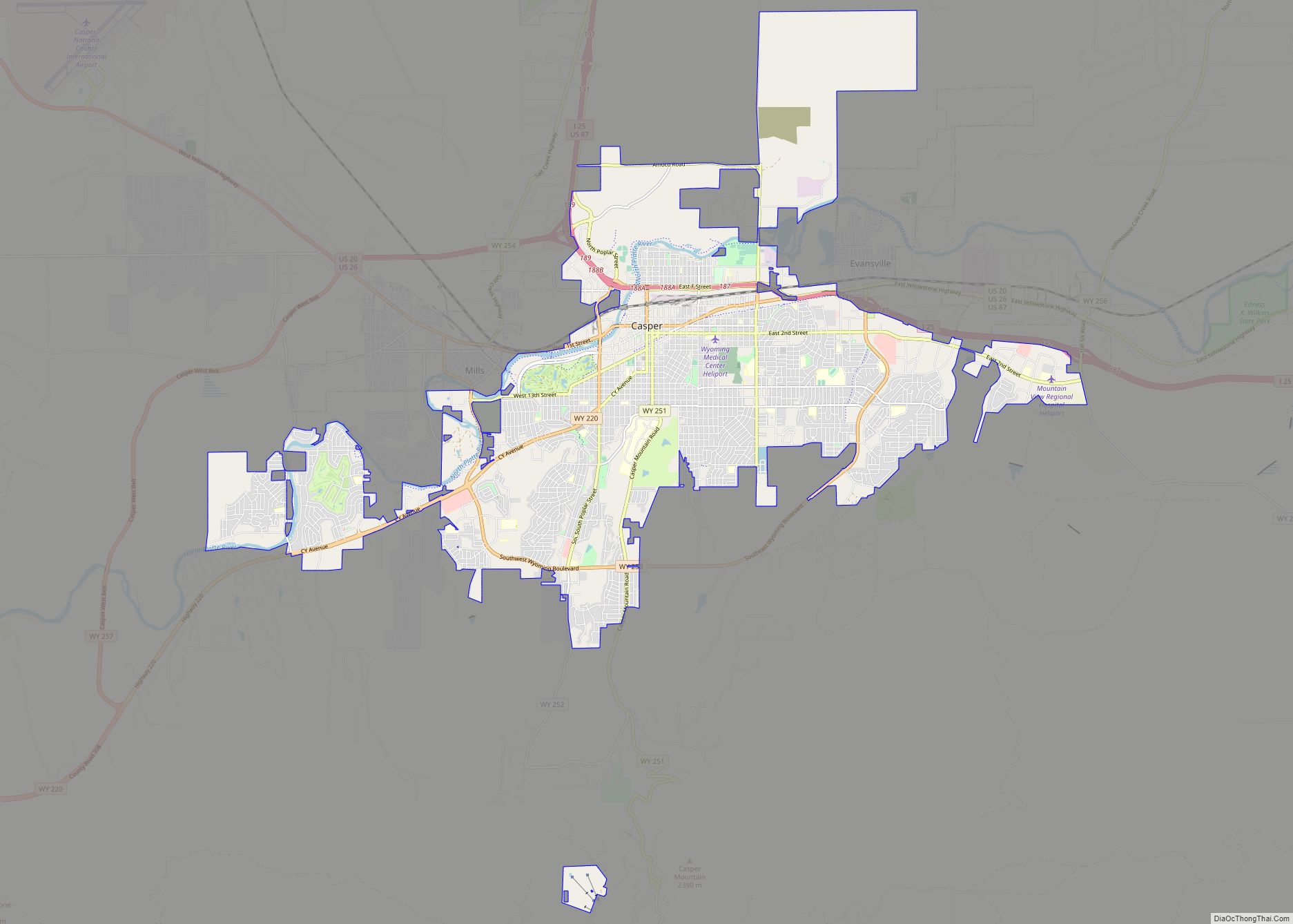
Evansville city Satellite Map

Geography
Evansville is located at 42°51′28″N 106°15′33″W / 42.857798°N 106.259102°W / 42.857798; -106.259102 (42.857798, -106.259102).
According to the United States Census Bureau, the town has a total area of 3.58 square miles (9.27 km), of which 3.54 square miles (9.17 km) is land and 0.04 square miles (0.10 km) is water.
See also
Map of Wyoming State and its subdivision: Map of other states:- Alabama
- Alaska
- Arizona
- Arkansas
- California
- Colorado
- Connecticut
- Delaware
- District of Columbia
- Florida
- Georgia
- Hawaii
- Idaho
- Illinois
- Indiana
- Iowa
- Kansas
- Kentucky
- Louisiana
- Maine
- Maryland
- Massachusetts
- Michigan
- Minnesota
- Mississippi
- Missouri
- Montana
- Nebraska
- Nevada
- New Hampshire
- New Jersey
- New Mexico
- New York
- North Carolina
- North Dakota
- Ohio
- Oklahoma
- Oregon
- Pennsylvania
- Rhode Island
- South Carolina
- South Dakota
- Tennessee
- Texas
- Utah
- Vermont
- Virginia
- Washington
- West Virginia
- Wisconsin
- Wyoming