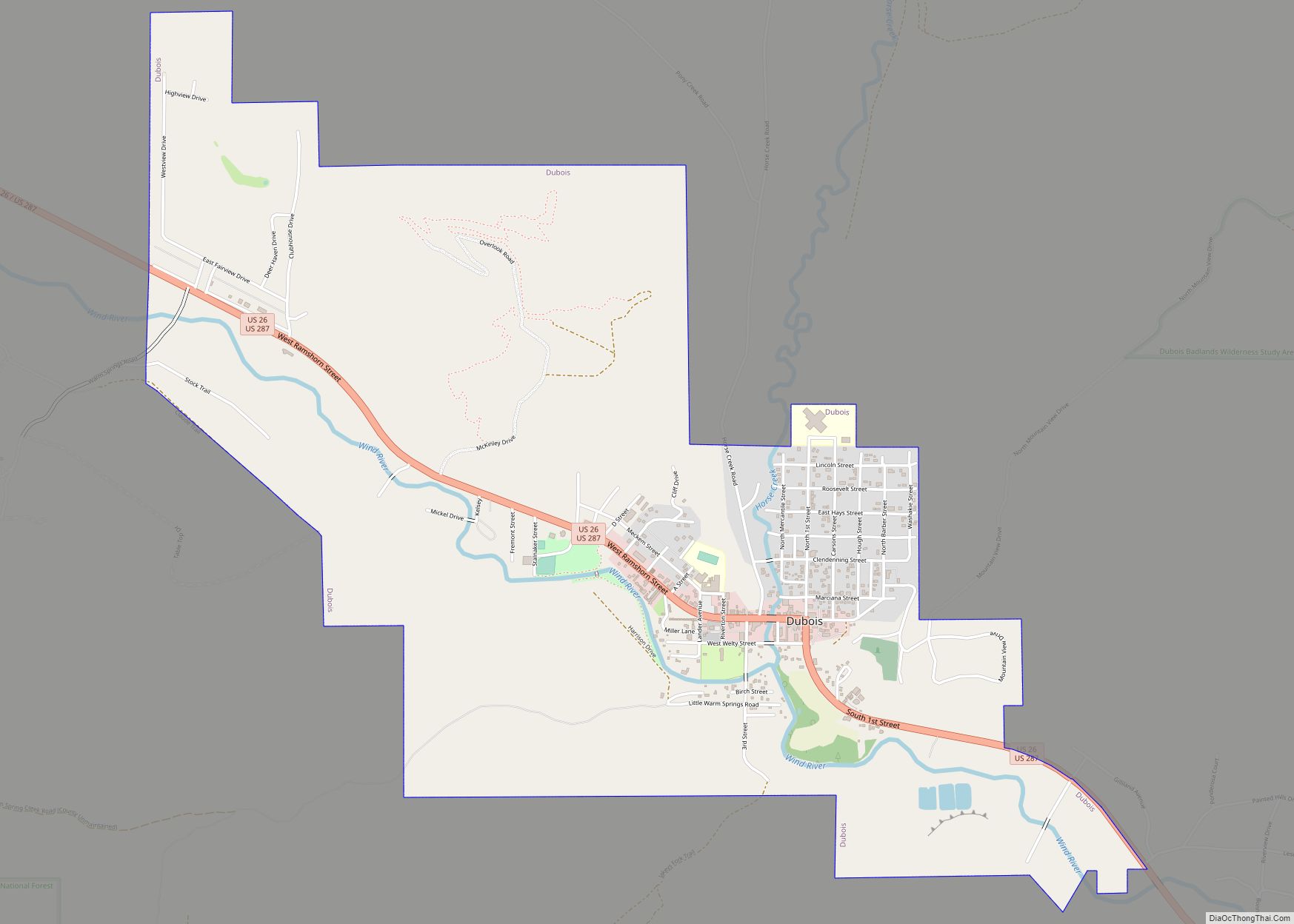
Dubois is a town in Fremont County, Wyoming, United States. The population was 971 at the 2010 census, but dropped to 911 in the 2020 census. The population nearly doubles in the summer with many part-time residents.
While the Town of Dubois includes 3.49 mi² within the Town Limits which constitutes a population density of 261 people per square mile, the 82513 ZIP Code (“Dubois, Wyoming”) includes 1,537.47 mi² and has a total population of 1,549 which is a population density of about 1 person per square mile. For comparison, the Dubois, Wyoming ZIP Code is 324 square miles larger than the entire state of Rhode Island.
| Name: | Dubois town |
|---|---|
| LSAD Code: | 43 |
| LSAD Description: | town (suffix) |
| State: | Wyoming |
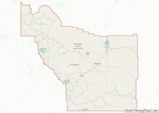
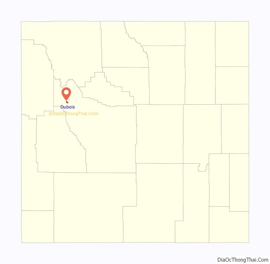
| County: | Fremont County |
| Elevation: | 6,946 ft (2,117 m) |
| Total Area: | 3.49 sq mi (9.04 km²) |
| Land Area: | 3.48 sq mi (9.01 km²) |
| Water Area: | 0.01 sq mi (0.03 km²) |
| Total Population: | 911 |
| Population Density: | 261.03/sq mi (100.77/km²) |
| ZIP code: | 82513 |
| Area code: | 307 |
| FIPS code: | 5621415 |
| GNISfeature ID: | 1609085 |
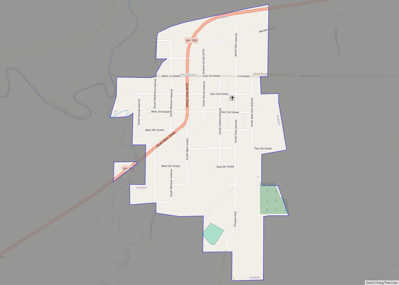
Online Interactive Map
Click on ![]() to view map in "full screen" mode.
to view map in "full screen" mode.
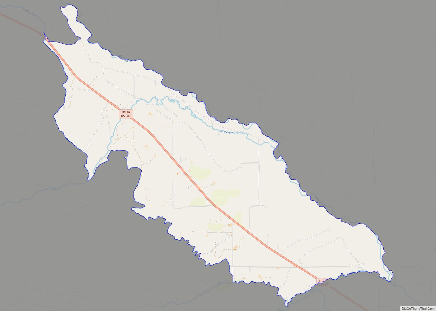
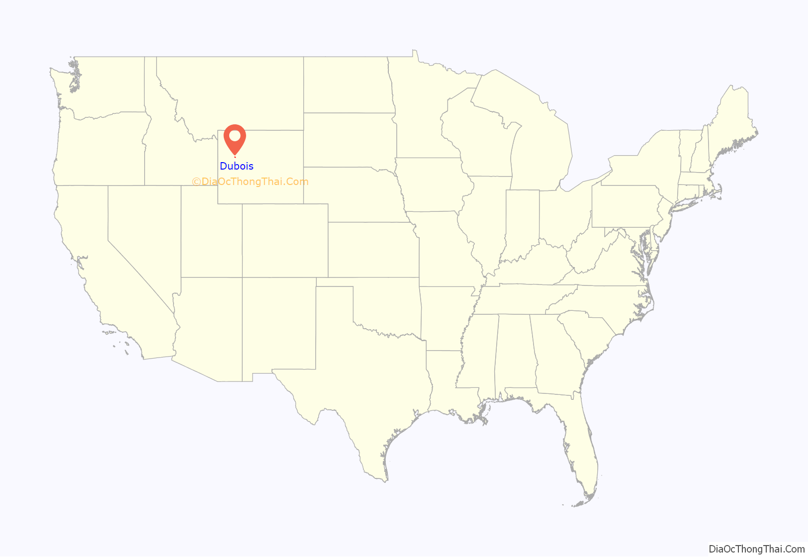
Dubois location map. Where is Dubois town?
History
The original residents of Dubois, Wyoming wanted to name the town Tibo, after the Shoshone-language word for “stranger” or “white man,” which was the Natives’ affectionate name for their Episcopal priest, Father John Roberts. However, the postal service found this name unacceptable, so Governor Joseph M. Carey named the town with the name Dubois after his friend Fred Dubois, an Idaho senator at the time. In protest, the citizens of Dubois rejected the French pronunciation of “deh-bwah”, instead opting for Du, with u as in “Sue”; bois, with oi as in “voice”. This local legend is most likely not true as the town in Idaho, named after the same Idaho Senator, is pronounced the same way as the town in Wyoming. The accent is on the first syllable.
The first occupants of the mountains and valleys surrounding what is now Dubois were members of the Sheepeaters, a group of Mountain Shoshone, who included the Wind River area in their regular annual migrations from the Great Plains through the mountains of Yellowstone and beyond. The Wind River Valley surrounding Dubois contains numerous remnants of these people who lived in the area for many hundreds of years before they were relocated into a nearby reservation. Relics of their existence in the mountains and valleys around Dubois include numerous prehistoric petroglyphs, hunting traps and blinds, and stone tepee circles.
The first Europeans to enter the area were trappers Francois and Louis Verendrye in 1742–43. In the years to follow, the Wind River valley was visited regularly by the Astorians and other fur trappers and hunters through the early 19th century. The first homesteaders arrived in the late 1870s.
Butch Cassidy (Robert LeRoy Parker) owned and managed a ranch on the outskirts of Dubois, beginning in 1890. It is said that he was a frequent customer at Welty’s General Store in Dubois, which is still in operation. A statue recently erected in the center of Dubois is modeled after Butch Cassidy. In 1913, the town expanded with the addition of a hotel, a bar, and a general store, anticipating the arrival of Scandinavian lumber workers brought there by the Wyoming Tie and Timber Company the following year. (All of these structures are still standing.)
St. Thomas Episcopal Church was founded in 1910 by Reverend John Roberts, an Episcopal missionary who served the Native American tribes on the Wind River.
Charles Moore built the first of many dude ranches in the area, Ramshorn Ranch and Camp Yellowstone, at the mouth of the DuNoir Creek west of Dubois in 1907.
In the landscape surrounding Dubois are visible the remains of many wood flumes constructed by the tie hacks who provided the railroad ties that helped to develop the American West. These Scandinavian immigrants cut logs into ties and sent these via the flumes to the Wind River where they floated to Riverton, about 70 miles east, for processing.
The Dubois Museum preserves and interprets the natural and social history of the Upper Wind River Valley as the National Bighorn Sheep Interpretive Center focuses on public education about the biology and habitat of the Rocky Mountain Bighorn Sheep with specific focus on the currently largest herd of Rocky Mountain Bighorn sheep in the coterminous United States that winter in the Whiskey Basin of Whiskey Mountain adjacent to the Fitzpatrick Wilderness in the Shoshone National Forest. The Center preserves and interprets the relationships of the Bighorn sheep.
The town is on U.S. Route 26 and is the beginning of the Wyoming Centennial Scenic Byway, U.S. Route 26 crossing the Continental Divide at Togwotee Pass.
A significant proportion of Dubois residents are writers, artists, photographers, musicians and songwriters, drawn to the remote town in part by its relatively moderate climate and remarkable scenery. Annual cultural events include a national art show and a quilt show, a horseback chariot race, and extensive celebrations during July 4 weekend. During summer months, a square dance and a rodeo including local and regional competitors take place every week.
On December 30, 2014, several businesses burned to the ground in the downtown area. The air temperatures at the time of the blaze were hovering near -35 °F with wind chills in the range of 50 below zero (-50 °F). Firefighters battled freezing equipment and gear throughout the night to get the fire under control. The blaze was ruled accidental. The origin of the fire appeared to be inside the rear of the “Main Street Mart” building in the attic above a wood stove. The fire was most likely caused by charring (pyrolysis) that resulted from the chimney coming into contact with building materials. Approximately half a block of Downtown Dubois was destroyed by the fire. In July 2016, a wildfire on the outskirts of Dubois again prompted evacuations.
In August 2020, the National Museum of Military Vehicles opened southeast of Dubois. The privately funded $100M museum was founded by Dan Starks, a former lawyer and CEO of St. Jude Medical. It contains 500 fully restored military vehicles, artillery pieces, naval vessels and aircraft dating from 1897 to the present, depicting the American experience in World War II, the Korean War, and the Vietnam War with a focus on the people who used the equipment as much as on the equipment itself.
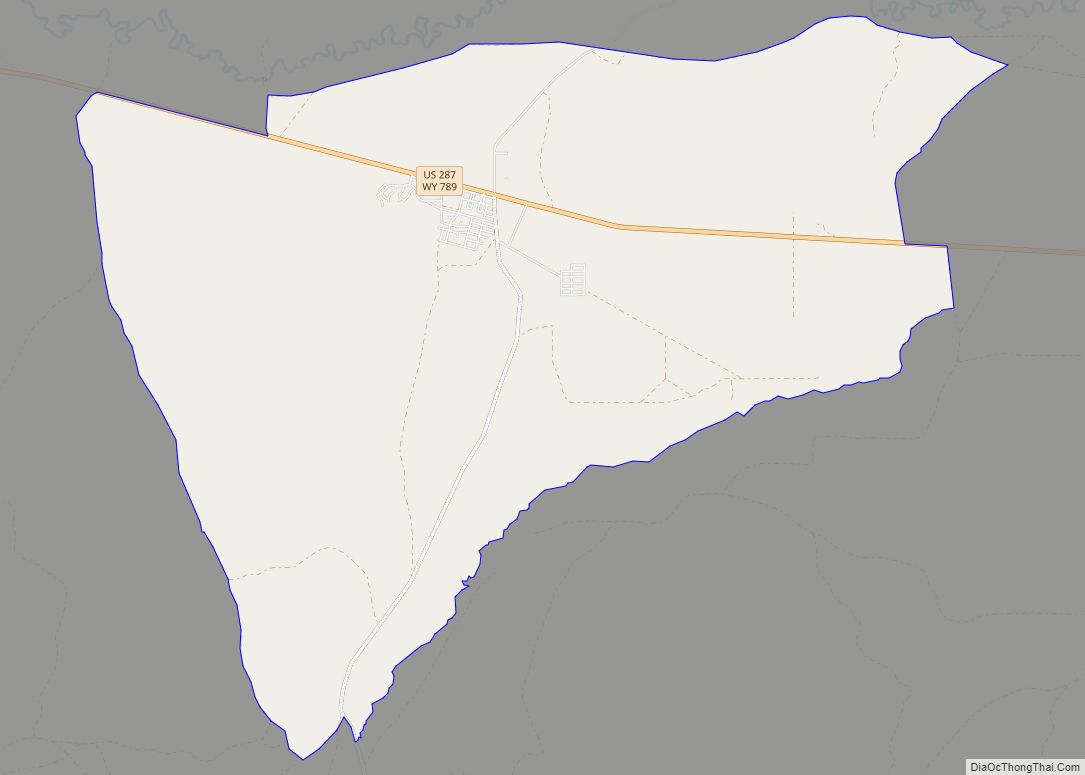
Dubois Road Map

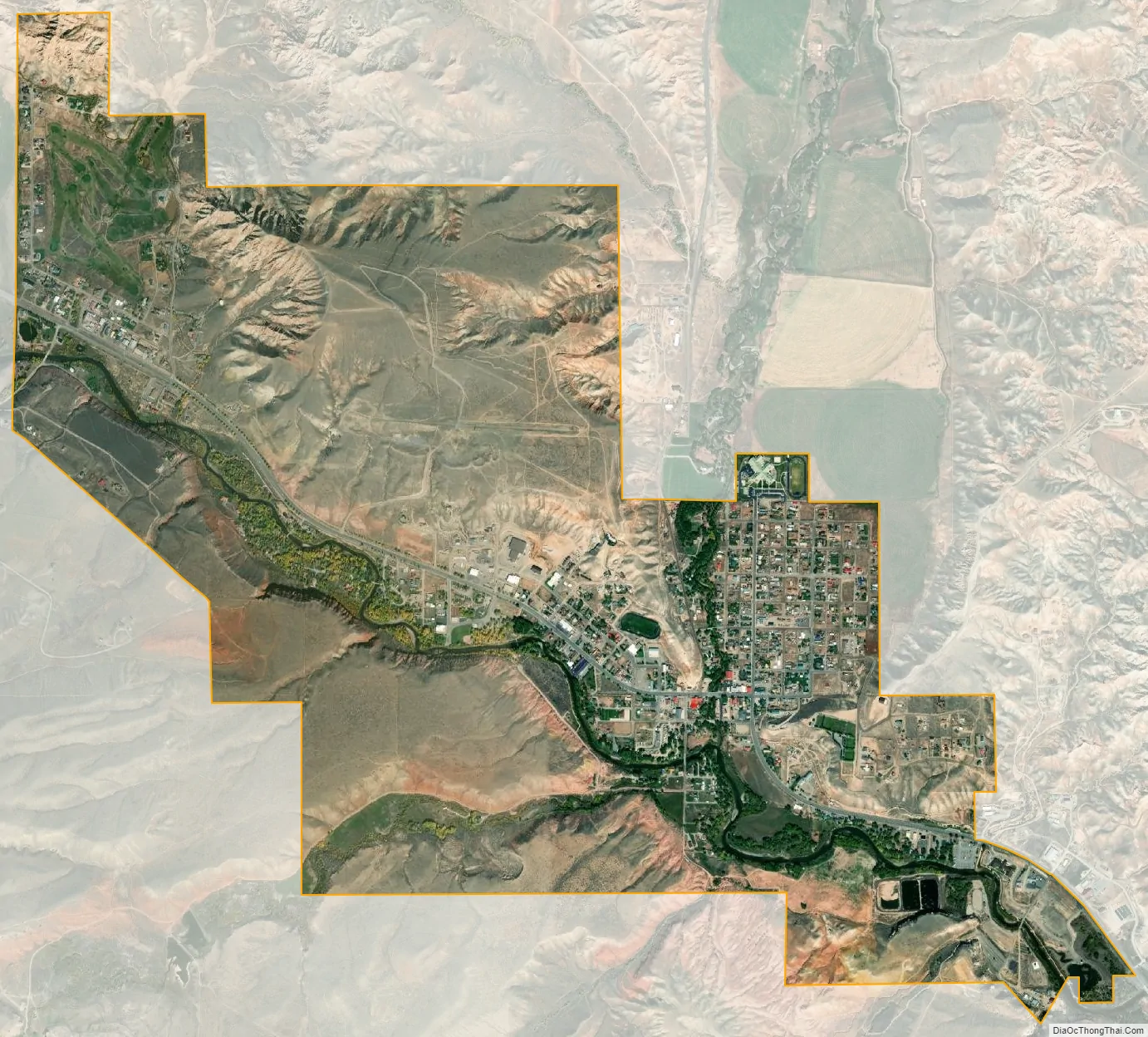
Dubois city Satellite Map
Geography
Dubois is located at 43°32′9″N 109°38′9″W / 43.53583°N 109.63583°W / 43.53583; -109.63583 (43.535936, -109.635915) and an elevation of 2115 m (6940 ft). The Wind River runs through the town.
According to the United States Census Bureau, the town has a total area of 3.43 square miles (8.88 km), of which 3.42 square miles (8.86 km) is land and 0.01 square miles (0.03 km) is water.
See also
Map of Wyoming State and its subdivision: Map of other states:- Alabama
- Alaska
- Arizona
- Arkansas
- California
- Colorado
- Connecticut
- Delaware
- District of Columbia
- Florida
- Georgia
- Hawaii
- Idaho
- Illinois
- Indiana
- Iowa
- Kansas
- Kentucky
- Louisiana
- Maine
- Maryland
- Massachusetts
- Michigan
- Minnesota
- Mississippi
- Missouri
- Montana
- Nebraska
- Nevada
- New Hampshire
- New Jersey
- New Mexico
- New York
- North Carolina
- North Dakota
- Ohio
- Oklahoma
- Oregon
- Pennsylvania
- Rhode Island
- South Carolina
- South Dakota
- Tennessee
- Texas
- Utah
- Vermont
- Virginia
- Washington
- West Virginia
- Wisconsin
- Wyoming