Evanston is a city in and the county seat of Uinta County, Wyoming, United States. The population was 11,747 at the 2020 census. It is located near the border with Utah.
| Name: | Evanston city |
|---|---|
| LSAD Code: | 25 |
| LSAD Description: | city (suffix) |
| State: | Wyoming |
| County: | Uinta County |
| Elevation: | 6,749 ft (2,057 m) |
| Total Area: | 10.33 sq mi (26.76 km²) |
| Land Area: | 10.29 sq mi (26.65 km²) |
| Water Area: | 0.04 sq mi (0.11 km²) |
| Total Population: | 12,359 |
| Population Density: | 1,131.51/sq mi (436.87/km²) |
| ZIP code: | 82930-82931 |
| Area code: | 307 |
| FIPS code: | 5625620 |
| GNISfeature ID: | 1588345 |
| Website: | www.evanstonwy.org |
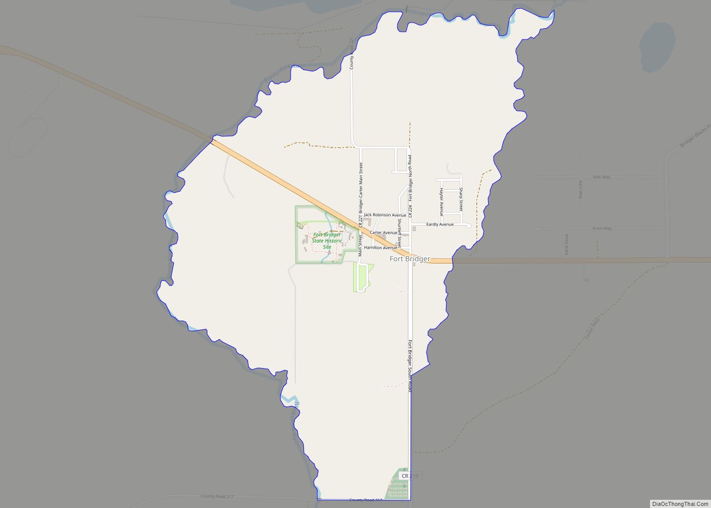
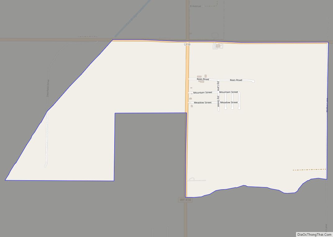
Online Interactive Map
Click on ![]() to view map in "full screen" mode.
to view map in "full screen" mode.
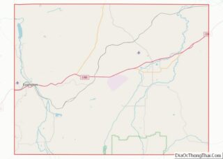
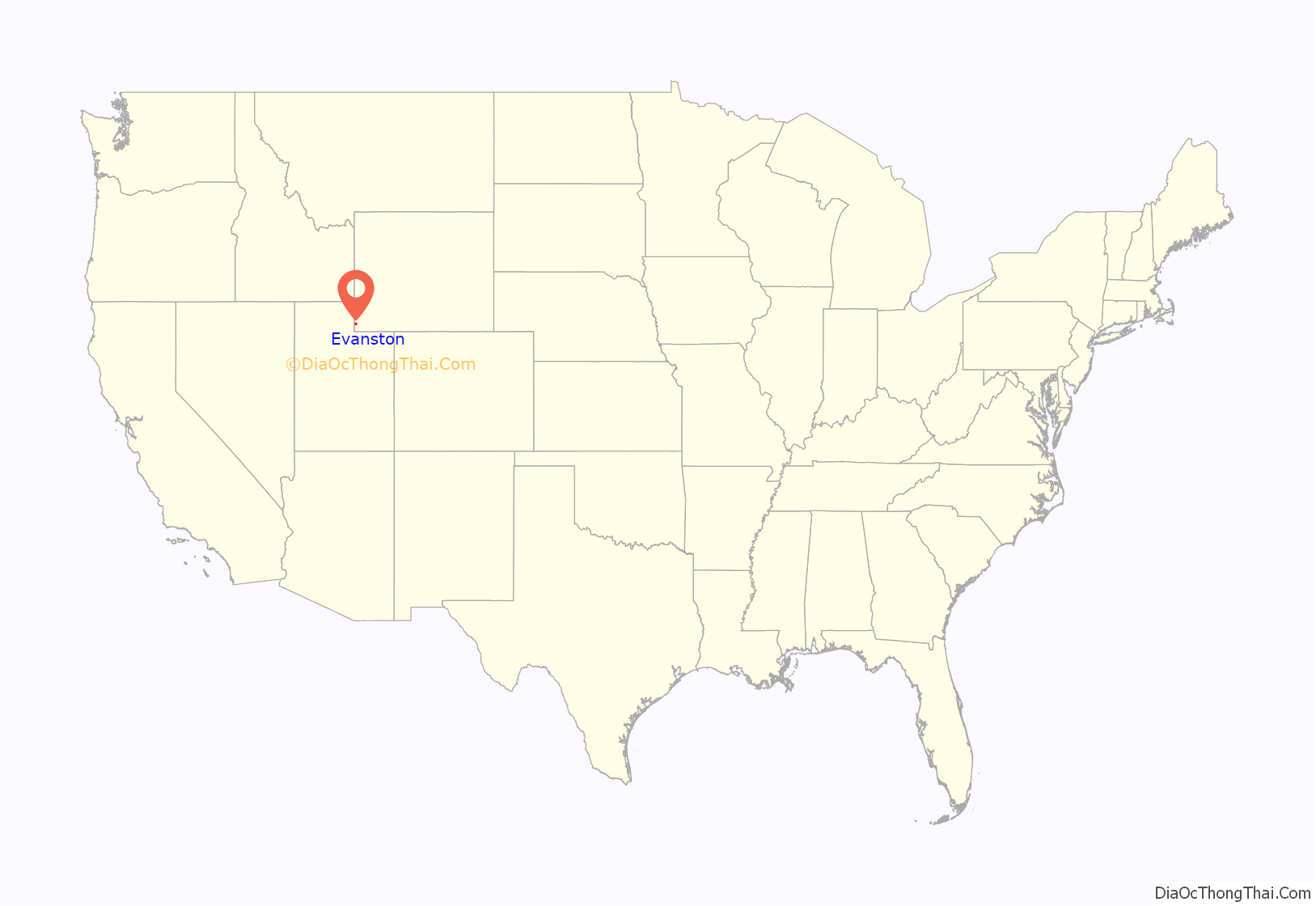
Evanston location map. Where is Evanston city?
History
Evanston was named after James A. Evans, a civil engineer for the Union Pacific Railroad. Another source maintains it is named for John Evans, second Governor of the Territory of Colorado. The town was founded during the construction of the first transcontinental railroad. The railroad arrived in the area in November 1868, and Harvey Booth opened a saloon/restaurant in a tent near what is now Front Street. By December the rails had reached Evanston and the first train arrived December 16. However, orders were later handed down by the railroad managers to move the end of the line 12 miles west, to Wasatch. Within three days, most all of Evanston had moved to Wasatch. It appeared that Evanston would become another “end of the tracks” town. In June 1869 headquarters returned to Evanston and it continued to grow. Later in 1871, a machine shop and roundhouse were constructed, giving Evanston a longevity not shared by many other railroad towns.
Abundant timber and water along the Bear River made Evanston a refueling station for cross-country locomotives. Coal was mined in Almy, a few miles north of Evanston. Similar to other railroad towns in Wyoming, early Evanston had a large population of Chinese railroad workers – in Evanston they lived on the north side of the railroad tracks in a small “China town.” Over time, the Chinese population dwindled; the last two members of the first generation of immigrants died in the 1930s.
Evanston was a major stop on the Lincoln Highway. The highway ran east to west from East Service Rd to Bear River Dr, on Front St to Harrison Dr, to Wasatch Rd southwest to Echo Canyon in Utah. It can still be seen along Interstate 80, which follows the railroad tracks in this area.
Evanston underwent massive growth and change during an oil boom in the 1980s. Recent drilling for natural gas has also revitalized the economy of the area. Union Tank Car works on railroad tank cars near the Union Pacific Railroad Complex, locally referred to as the old roundhouse. There are restored railroad buildings, including a roundhouse, in the downtown area. One of the more recent restorations include 1011 Front Street where Michael’s Bar & Grill currently stands. This restaurant is the oldest Bar & Grill in Evanston and once served as a store house for one of the first JCPenney stores in the country. This building, located in historic downtown Evanston, is across the street from the museum in Depot Square. Another restoration project included the rebuilding of the Joss House in Depot Square in 1990; the original had been destroyed in a fire in 1922.
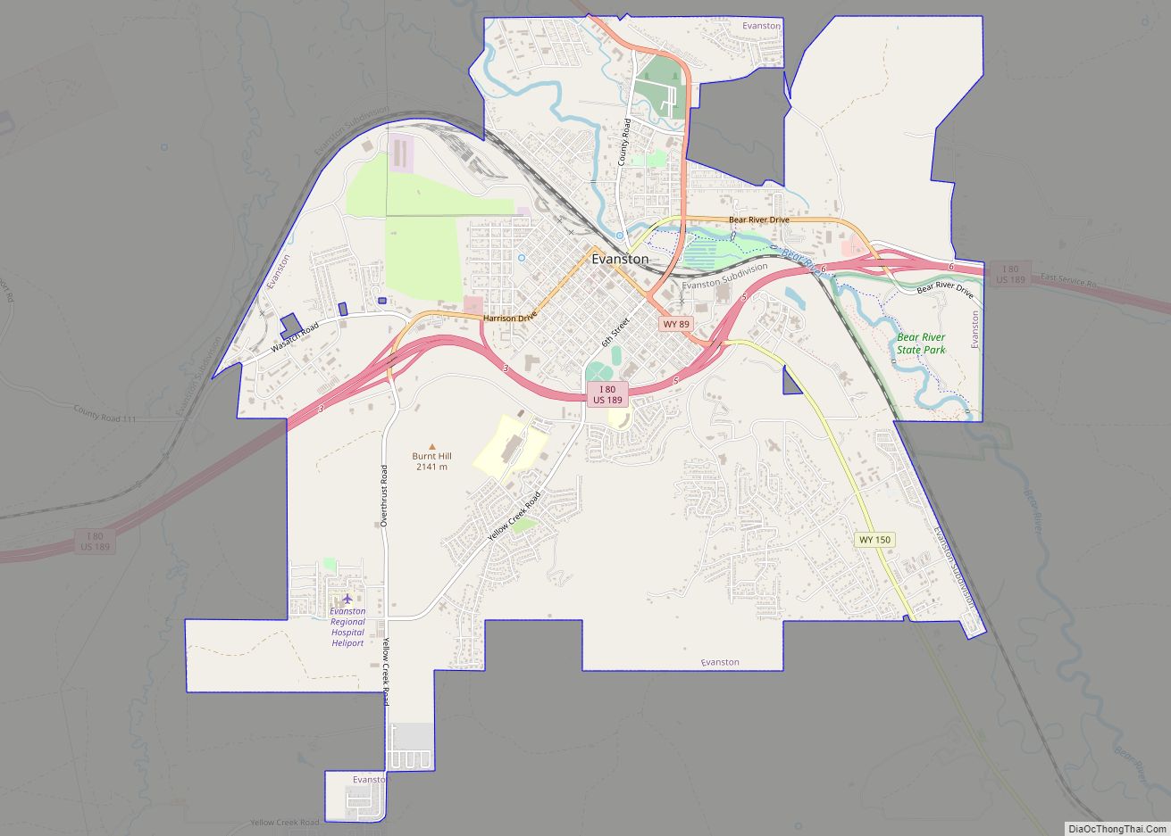
Evanston Road Map
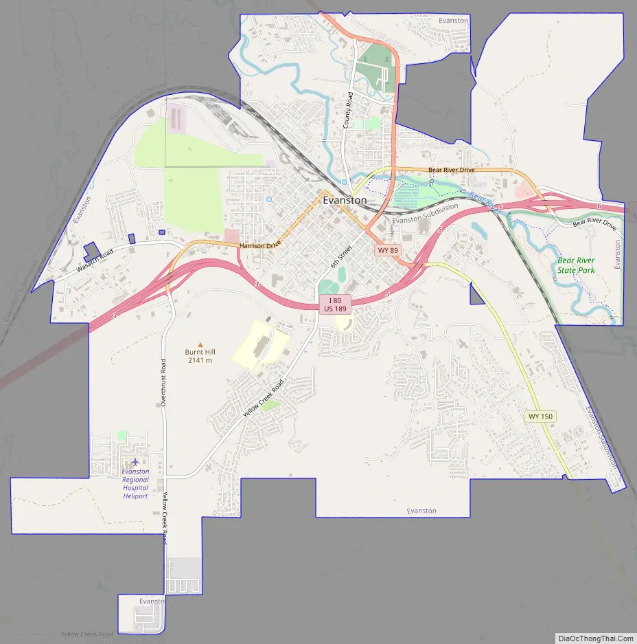
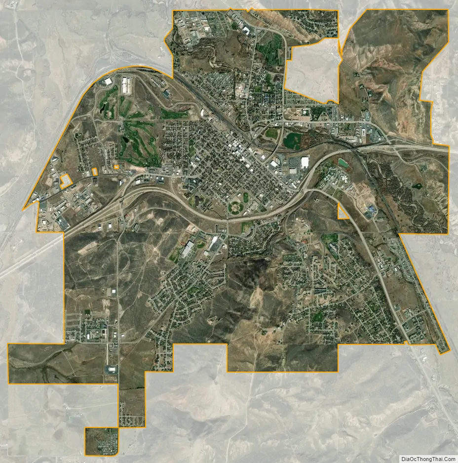
Evanston city Satellite Map
Geography
Evanston is located at 41°15′48″N 110°57′53″W / 41.26333°N 110.96472°W / 41.26333; -110.96472 (41.263302, −110.964616). The elevation is 6749 feet (2057 m) above sea level.
Interstate 80/US-189 and State Routes 89 and 150 serve the city.
According to the United States Census Bureau, the city has a total area of 10.32 square miles (26.73 km), of which 10.27 square miles (26.60 km) is land and 0.05 square miles (0.13 km) is water.
Evanston has a continental climate (Köppen climate classification Dfb) with long, cold, dry winters and short, warm, slightly more humid summers.
See also
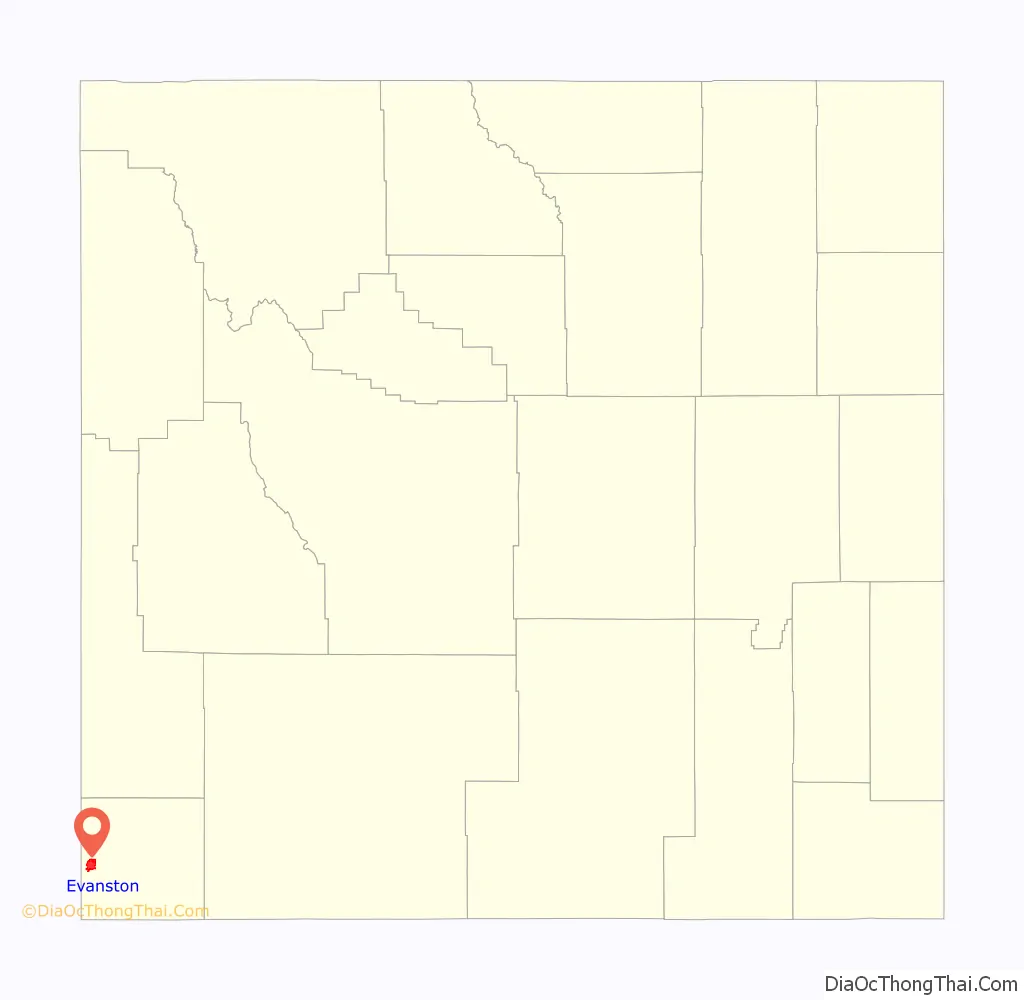
Map of Wyoming State and its subdivision: Map of other states:- Alabama
- Alaska
- Arizona
- Arkansas
- California
- Colorado
- Connecticut
- Delaware
- District of Columbia
- Florida
- Georgia
- Hawaii
- Idaho
- Illinois
- Indiana
- Iowa
- Kansas
- Kentucky
- Louisiana
- Maine
- Maryland
- Massachusetts
- Michigan
- Minnesota
- Mississippi
- Missouri
- Montana
- Nebraska
- Nevada
- New Hampshire
- New Jersey
- New Mexico
- New York
- North Carolina
- North Dakota
- Ohio
- Oklahoma
- Oregon
- Pennsylvania
- Rhode Island
- South Carolina
- South Dakota
- Tennessee
- Texas
- Utah
- Vermont
- Virginia
- Washington
- West Virginia
- Wisconsin
- Wyoming