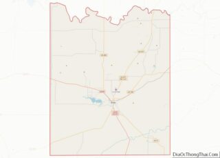
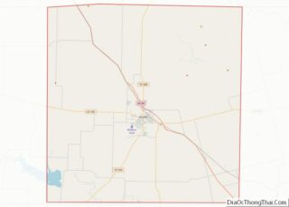
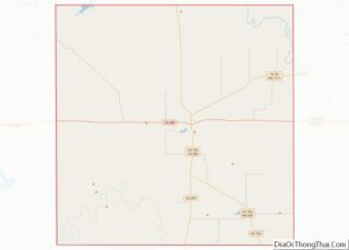
Map of Barnwell County

Map of Barnwell County, South Carolina

Barnwell County is a county in the U.S. state of South Carolina. As of the 2020 census, its population was 20,589. Barnwell County is part of the Augusta-Richmond County, GA-SC Metropolitan Statistical Area. It is located in the Central Savannah River Area. Its county seat is Barnwell. Barnwell County overview: Name: Barnwell County FIPS code: … Read more

Map of Georgetown County

Map of Georgetown County, South Carolina

Georgetown County is a county located in the U.S. state of South Carolina. As of the 2020 census, the population was 63,404. Its county seat is Georgetown. The county was founded in 1769. It is named for George III of the United Kingdom. Georgetown County comprises the Georgetown, SC Micropolitan Statistical Area, which is also … Read more

Map of Orangeburg County

Map of Orangeburg County, South Carolina

Orangeburg County is a county located in the U.S. state of South Carolina. As of the 2020 census, the population was 84,223. Its county seat is Orangeburg. The county was created in 1769. Orangeburg County comprises the Orangeburg, SC Micropolitan Statistical Area, which is also included in the Columbia-Orangeburg-Newberry, SC Combined Statistical Area. It is … Read more

Map of Buffalo County

Map of Buffalo County, South Dakota

Buffalo County is a county in the U.S. state of South Dakota. As of the 2020 census, the population was 1,948. Its county seat is Gann Valley which, at 14 people, is the least populous county seat in the United States. The county was created in 1864, and was organized in 1871 as part of … Read more

Map of Faulk County

Map of Faulk County, South Dakota

Faulk County is a county in the U.S. state of South Dakota. As of the 2020 census, the population was 2,125. Its county seat is Faulkton. The county was founded in 1873 and organized in 1883. It is named for Andrew Jackson Faulk, the third Governor of Dakota Territory. Faulk County overview: Name: Faulk County … Read more

Map of Lawrence County

Map of Lawrence County, South Dakota

Lawrence County overview: Name: Lawrence County FIPS code: 46-081 State: South Dakota Founded: 1875 Named for: John Lawrence Seat: Deadwood Largest city: Spearfish Total Area: 800 sq mi (2,000 km²) Land Area: 800 sq mi (2,000 km²) Total Population: 25,768 Population Density: 32/sq mi (12/km²) Time zone: UTC−7 (Mountain) Summer Time Zone (DST): UTC−6 (MDT) Website: www.lawrence.sd.us Lawrence County location map. Where … Read more

Map of Shannon County

Map of Oglala Lakota County, South Dakota

Oglala Lakota County (known as Shannon County until May 2015) is a county in southwestern South Dakota, United States. The population was 13,672 at the 2020 census. Oglala Lakota County does not have a functioning county seat; Hot Springs in neighboring Fall River County serves as its administrative center. The county was created as a … Read more

Map of Bradley County

Map of Bradley County, Tennessee

Bradley County is a county located in the southeastern portion of the U.S. state of Tennessee. As of the 2020 census, the population was 108,620, making it the thirteenth most populous county in Tennessee. Its county seat is Cleveland. It is named for Colonel Edward Bradley of Shelby County, Tennessee, who was colonel of Hale’s … Read more

Map of Dickson County

Map of Dickson County, Tennessee

Dickson County is a county located in the U.S. state of Tennessee. As of the 2020 census, the population was 54,315. Its county seat is Charlotte. Dickson County is part of the Nashville-Davidson–Murfreesboro–Franklin, TN Metropolitan Statistical Area. Dickson County is home to Tennessee’s oldest courthouse in continuous use, built in 1835. This is the second … Read more

Map of Haywood County

Map of Haywood County, Tennessee

Haywood County is a county located in the U.S. state of Tennessee, in the region known as West Tennessee. As of the 2020 census, the population was 17,864. Its county seat and largest city is Brownsville. It is one of only two remaining counties in Tennessee, along with Shelby County, with a majority African-American population. … Read more

Map of Macon County

Map of Macon County, Tennessee

Macon County is a county located in the U.S. state of Tennessee As of the 2020 census, the population was 25,216. Its county seat is Lafayette. Macon County is part of the Nashville-Davidson–Murfreesboro–Franklin, TN Metropolitan Statistical Area. Macon County overview: Name: Macon County FIPS code: 47-111 State: Tennessee Founded: 1842 Named for: Nathaniel Macon Seat: … Read more

Map of Polk County

Map of Polk County, Tennessee

Polk County is a county located in the southeastern corner of the U.S. state of Tennessee. As of the 2020 United States census, its population was 17,544. Its county seat is Benton. The county was created on November 28, 1839, from parts of Bradley and McMinn counties, after final removal of most Cherokee from the … Read more