Essex County is a county located in the Middle Peninsula in the U.S. state of Virginia; the peninsula is bordered by the Rappahannock River on the north and King and Queen County on the south. As of the 2020 census, the population was 10,599. Its county seat is Tappahannock.
| Name: | Essex County |
|---|---|
| FIPS code: | 51-057 |
| State: | Virginia |
| Founded: | 1692 |
| Seat: | Tappahannock |
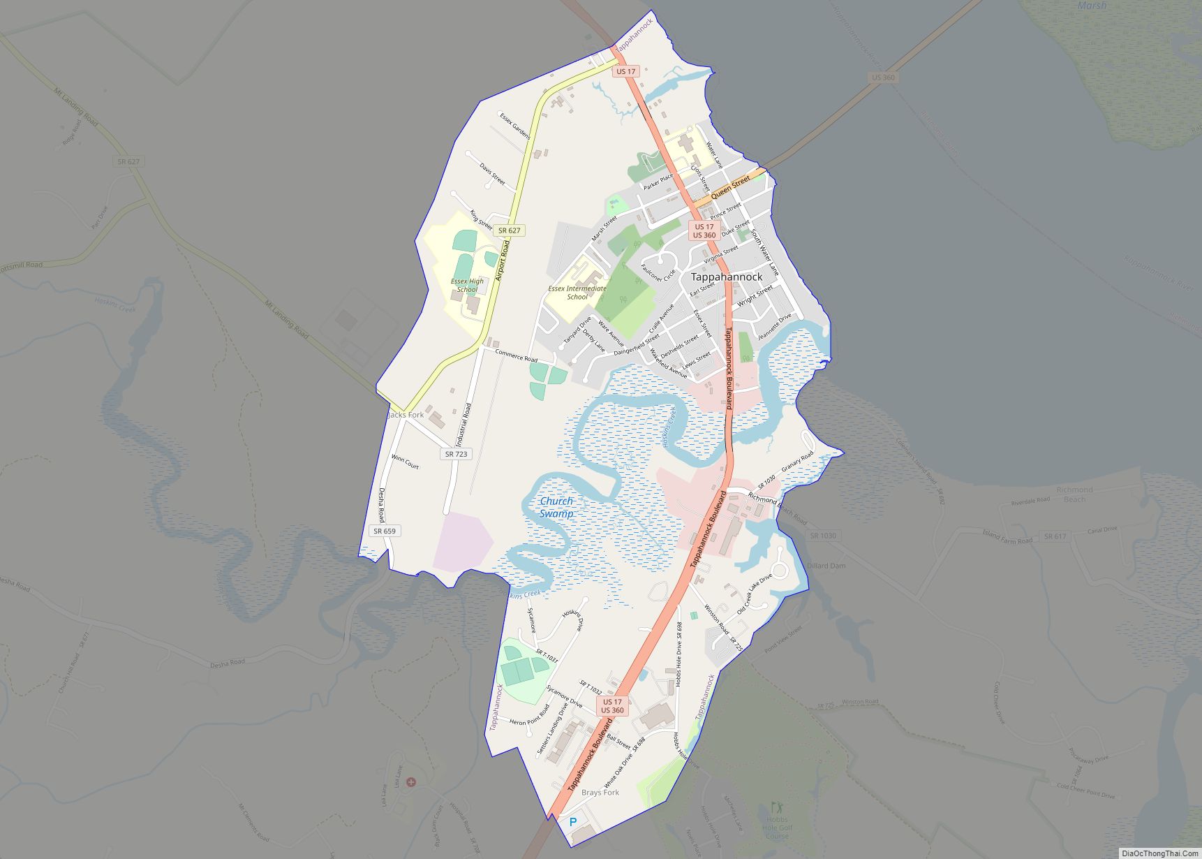
| Largest town: | Tappahannock |
| Total Area: | 286 sq mi (740 km²) |
| Land Area: | 257 sq mi (670 km²) |
| Total Population: | 10,599 |
| Population Density: | 37/sq mi (14/km²) |
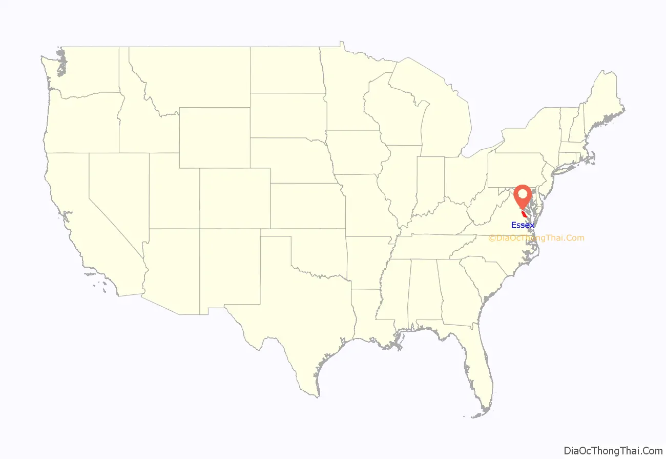
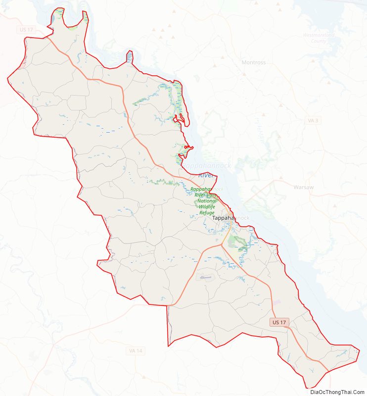
Essex County location map. Where is Essex County?
History
Essex County was established in 1692 from the old Rappahannock County, Virginia (not to be confused with the present-day Rappahannock County, Virginia). The county is named for either the shire or county in England, or for the Earl of Essex.
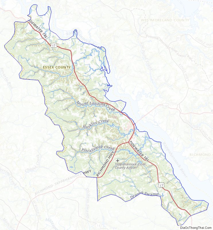
Essex County Road Map
Geography
According to the U.S. Census Bureau, the county has a total area of 286 square miles (740 km), of which 257 square miles (670 km) is land and 29 square miles (75 km) (10.1%) is water. Its main town, Tappahanock, is focused at the Rappahanock River.
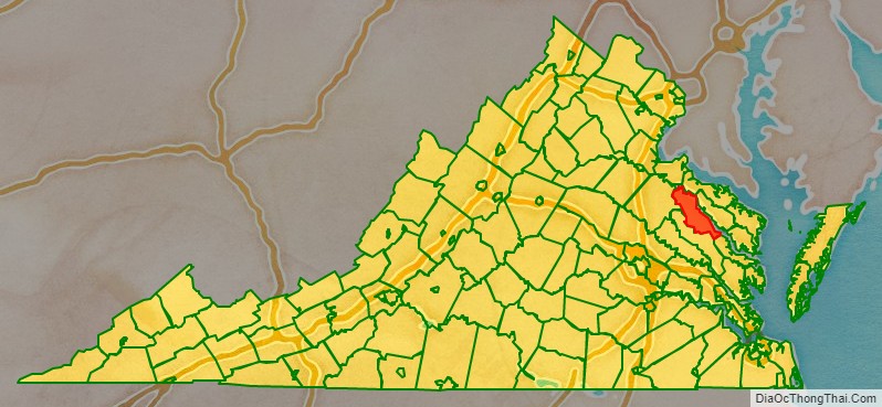
Adjacent counties
- Westmoreland County – north
- Richmond County – northeast
- Middlesex County – southeast
- King and Queen County – south
- Caroline County – west
- King George County – northwest
Major highways
- US 17
- US 360
National protected area
- Rappahannock River Valley National Wildlife Refuge (part) Hutchinson unit, Thomas unit
Essex County Topographic Map
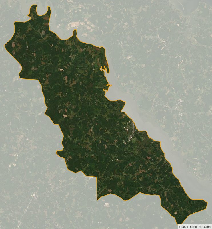
Essex County Satellite Map
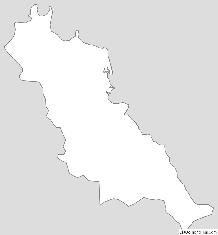
Essex County Outline Map