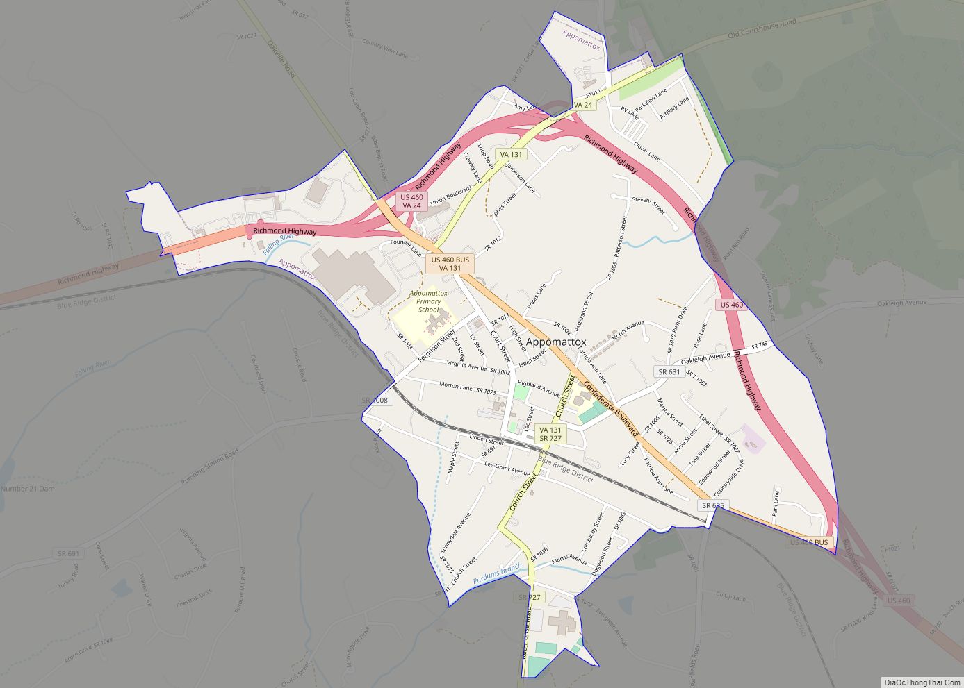
Appomattox County is a United States county located in the Piedmont region and near the center of the Commonwealth of Virginia. The county is part of the Lynchburg, VA Metropolitan Statistical Area, and its county seat is the town of Appomattox.
Appomattox County was created in 1845 from parts of four other Virginia counties. The name of the county comes from the Appamatuck Indians, who lived in the area. As of the 2020 census, the population was 16,119.
| Name: | Appomattox County |
|---|---|
| FIPS code: | 51-011 |
| State: | Virginia |
| Founded: | 1845 |
| Named for: | Appomattox River |
| Seat: | Appomattox |
| Largest town: | Appomattox |
| Total Area: | 335 sq mi (870 km²) |
| Land Area: | 333 sq mi (860 km²) |
| Total Population: | 16,119 |
| Population Density: | 48/sq mi (19/km²) |
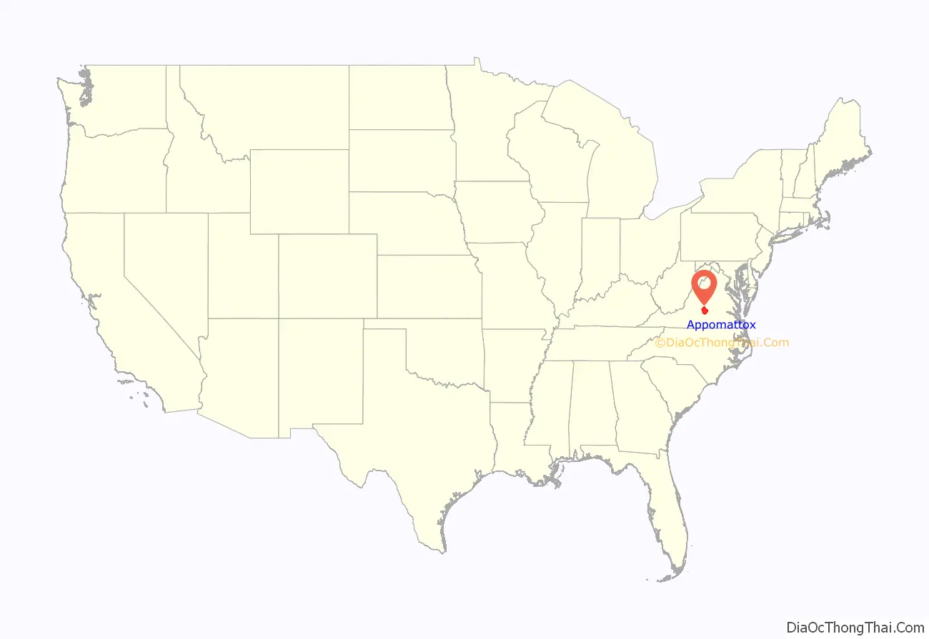
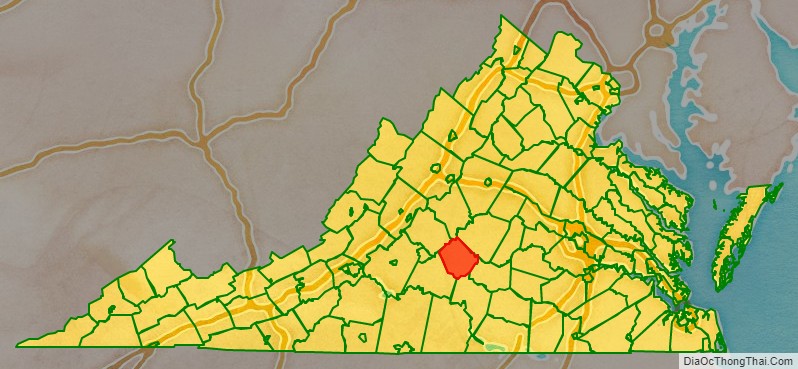
Appomattox County location map. Where is Appomattox County?
History
Appomattox County was formed in 1845 from Buckingham, Prince Edward, Campbell, and Charlotte counties. In 1848, another part from Campbell County was added. It was named for the Appomattox River, which in turn was named for the Appamatuck, a historic Native American tribes in Virginia of the Algonquian-speaking Powhatan Confederacy.
Appomattox came to national attention on April 9, 1865, when Confederate General Robert E. Lee met with Union General Ulysses S. Grant at the village of Appomattox Court House to accept Lee’s surrender. The surrender of Lee, which effectively ended the American Civil War, took place at the McLean House, home of Wilmer McLean.
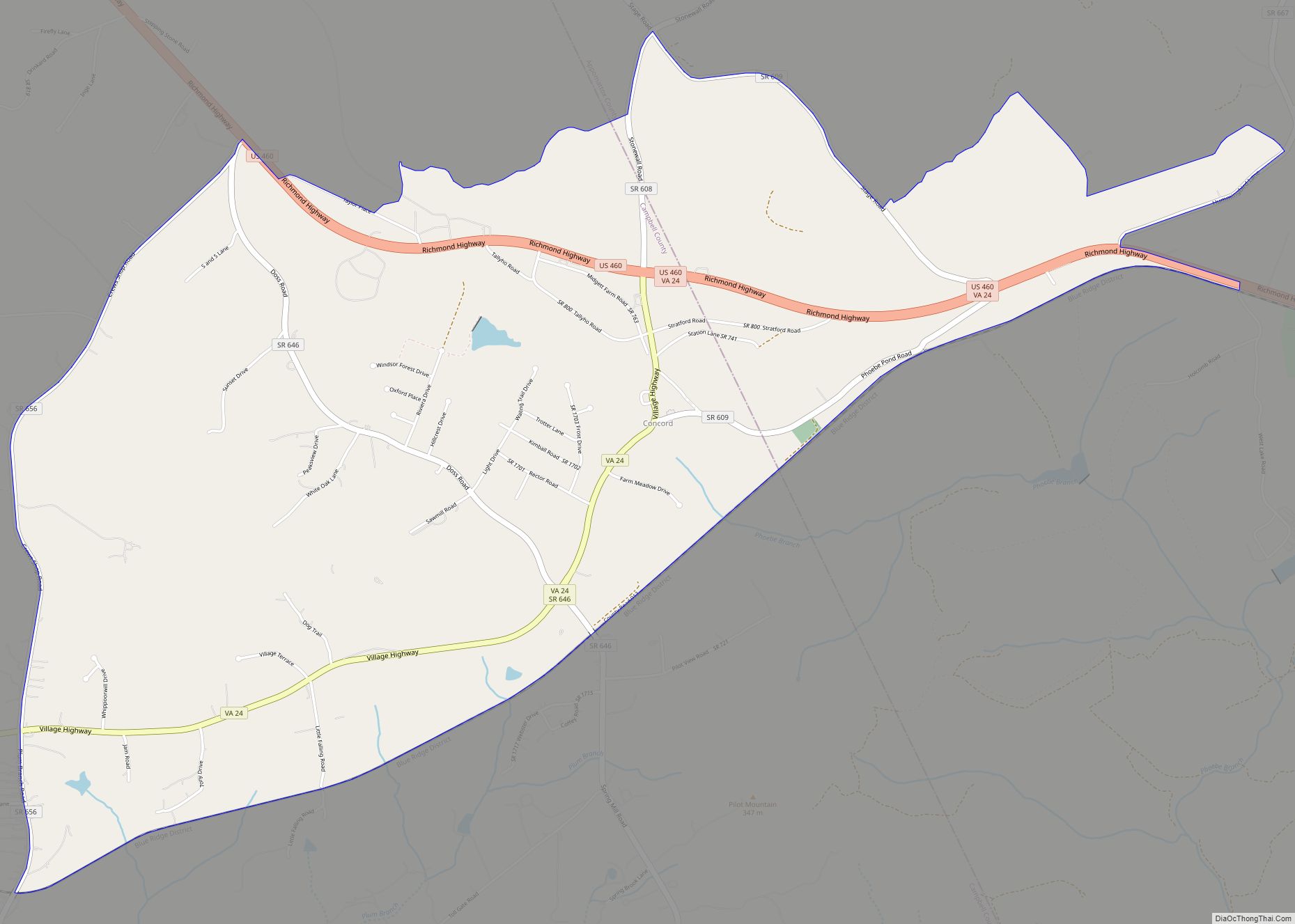
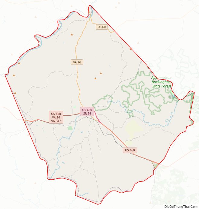
Appomattox County Road Map
Geography
According to the U.S. Census Bureau, the county has a total area of 335 square miles (870 km), of which 333 square miles (860 km) is land and 1.2 square miles (3.1 km) (0.4%) is water.
Adjacent counties
- Nelson County, Virginia – north
- Buckingham County, Virginia – northeast
- Prince Edward County, Virginia – southeast
- Charlotte County, Virginia – south
- Campbell County, Virginia – southwest
- Amherst County, Virginia – northwest
National protected area
- Appomattox Court House National Historical Park
Major highways
- US 60
- US 460
- SR 24
- SR 26
- SR 47
- SR 131
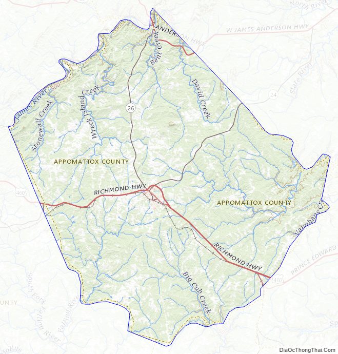
Appomattox County Topographic Map
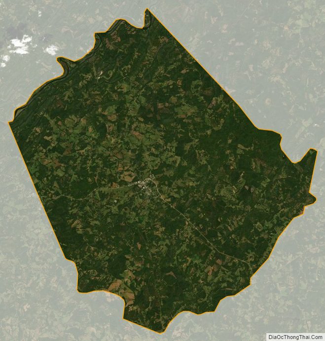
Appomattox County Satellite Map
Appomattox County Outline Map