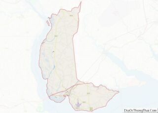
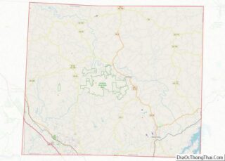
Chowan County (/tʃoʊˈwɒn/) is one of the 100 counties located in the U.S. state of North Carolina. As of the 2020 census, the population was 13,708. Its county seat is Edenton. The county was created between 1668 and 1671 as Shaftesbury Precinct and later renamed Chowan Precinct. It gained county status in 1739. Chowan County ... Read more
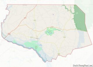
Gates County is a county located in the northeastern portion of the U.S. state of North Carolina, on the border with Virginia. As of the 2020 census, the population was 10,478. Its county seat is Gatesville. Gates County is included in the Virginia Beach-Norfolk-Newport News, VA-NC Metropolitan Statistical Area. It is part of the Albemarle ... Read more
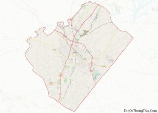
Lee County is a county located in the U.S. state of North Carolina. As of the 2020 census, the population was 63,285. The county seat is Sanford. It was established on March 6, 1907, from parts of Chatham and Moore counties, and named for General Robert E. Lee, who served as the General in Chief ... Read more
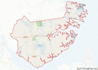
Pamlico (/ˈpæmlɪkoʊ/) County is a county located in the U.S. state of North Carolina. As of the 2020 census, the population was 12,276. Its county seat is Bayboro. Pamlico County is part of the New Bern, NC Metropolitan Statistical Area. Pamlico County overview: Name: Pamlico County FIPS code: 37-137 State: North Carolina Founded: 1872 Named ... Read more
Stokes County is a county located in the U.S. state of North Carolina. As of the 2020 census, the population was 44,520. Its county seat is Danbury. Stokes County is included in the Winston-Salem, N.C., Metropolitan Statistical Area, which is also included in the Greensboro-Winston-Salem-High Point, N.C., Combined Statistical Area. Stokes County overview: Name: Stokes ... Read more
Adams County is a county in the U.S. state of North Dakota. As of the 2020 census, the population was 2,200. The county seat is Hettinger. The county was created on April 17, 1907, and organized one week later. It was named for John Quincy Adams (1848–1919), a railroad official for the Milwaukee Road Railroad ... Read more
Golden Valley County is a county in the U.S. state of North Dakota. As of the 2020 census, the population was 1,736, making it the fourth-least populous county in North Dakota. The county seat is Beach. The county should not be confused with the city of Golden Valley, which is located in Mercer County. Golden ... Read more
Oliver County is a county located in the U.S. state of North Dakota. As of the 2020 census, the population was 1,877. Its county seat and only city is Center. Oliver County overview: Name: Oliver County FIPS code: 38-065 State: North Dakota Founded: 1885 Named for: Harry S. Oliver Seat: Center Largest city: Center Total ... Read more
Traill County is a county in the U.S. state of North Dakota. As of the 2020 census listed the population at 7,997. Its county seat is Hillsboro, and its largest city is Mayville. Traill County overview: Name: Traill County FIPS code: 38-097 State: North Dakota Founded: 1875 Named for: Walter John Strickland Traill Seat: Hillsboro ... Read more
Clark County is a county located in the west central portion of the U.S. state of Ohio. As of the 2020 census, the population was 136,001. Its county seat and largest city is Springfield. The county was created on March 1, 1818, and was named for General George Rogers Clark, a hero of the American ... Read more
Geauga County (/dʒiˈɔːɡə/ jee-AW-gə) is a county in the U.S. state of Ohio. As of the 2020 census, the population was 95,397. The county seat and largest city is Chardon. The county is named for an Onondaga or Seneca language word meaning ‘raccoon’, originally the name of the Grand River. Geauga County is part of ... Read more
Lake Erie Water body overview: Name: Lake Erie Water body State: Ohio Lake Erie Water body location map. Where is Lake Erie Water body? Lake Erie Water body Road Map Lake Erie Water body Topographic Map Lake Erie Water body Satellite Map Lake Erie Water body Outline Map