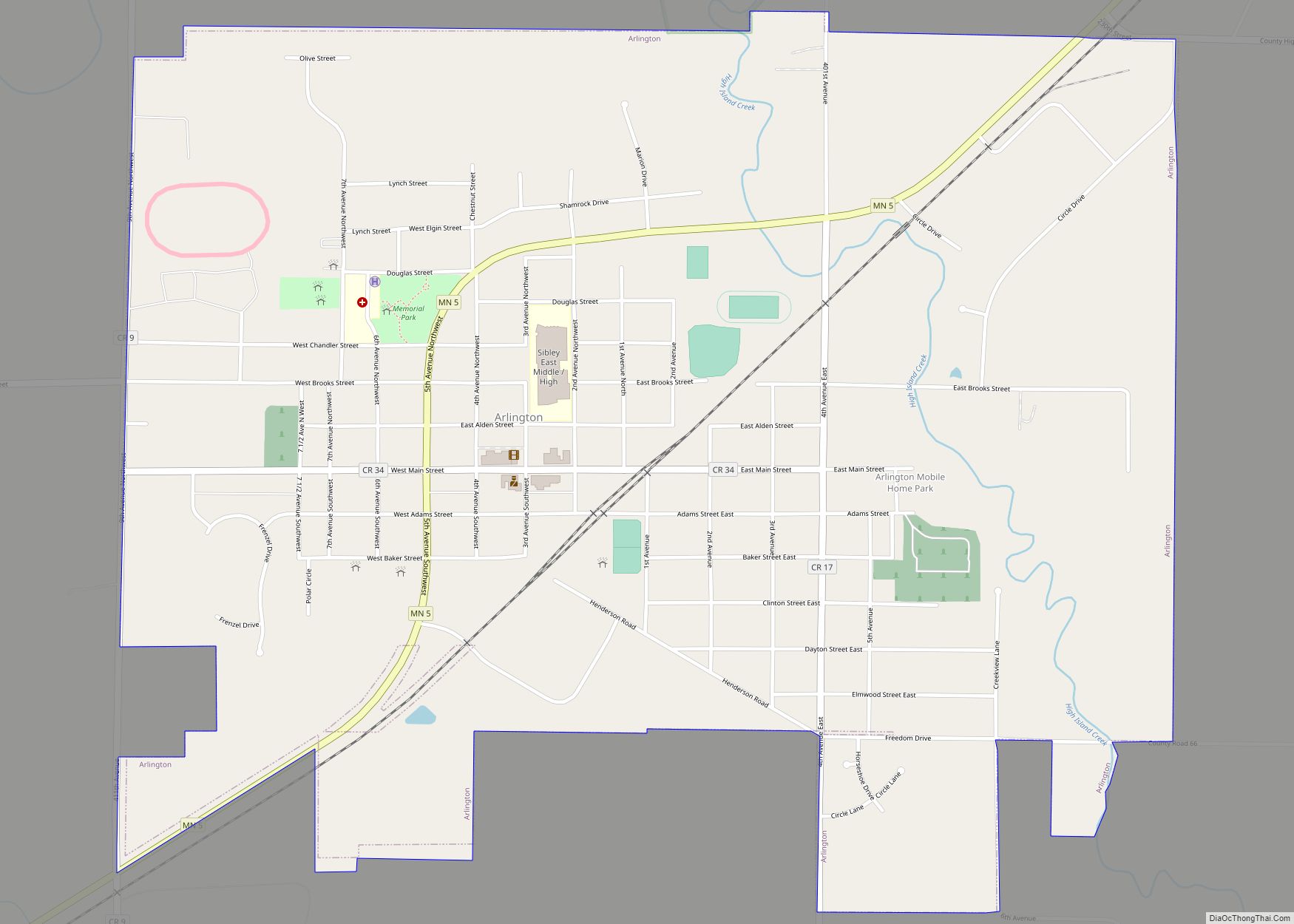
Sibley County is a county in the South Central part of the U.S. state of Minnesota. As of the 2020 census, the population was 14,836. Its county seat is Gaylord. Sibley County was part of the Minneapolis–St. Paul–Bloomington, MN-WI Metropolitan Statistical Area from 2013 to September 2018.
| Name: | Sibley County |
|---|---|
| FIPS code: | 27-143 |
| State: | Minnesota |
| Founded: | March 5, 1853 |
| Named for: | Henry Hastings Sibley |
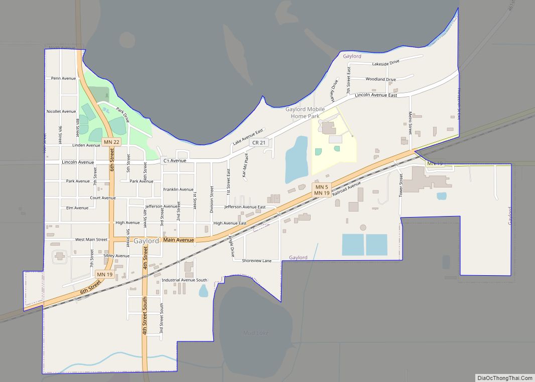
| Seat: | Gaylord |
| Largest city: | Gaylord |
| Total Area: | 601 sq mi (1,560 km²) |
| Land Area: | 589 sq mi (1,530 km²) |
| Total Population: | 14,836 |
| Population Density: | 25.2/sq mi (9.7/km²) |
| Time zone: | UTC−6 (Central) |
| Summer Time Zone (DST): | UTC−5 (CDT) |
| Website: | www.co.sibley.mn.us |
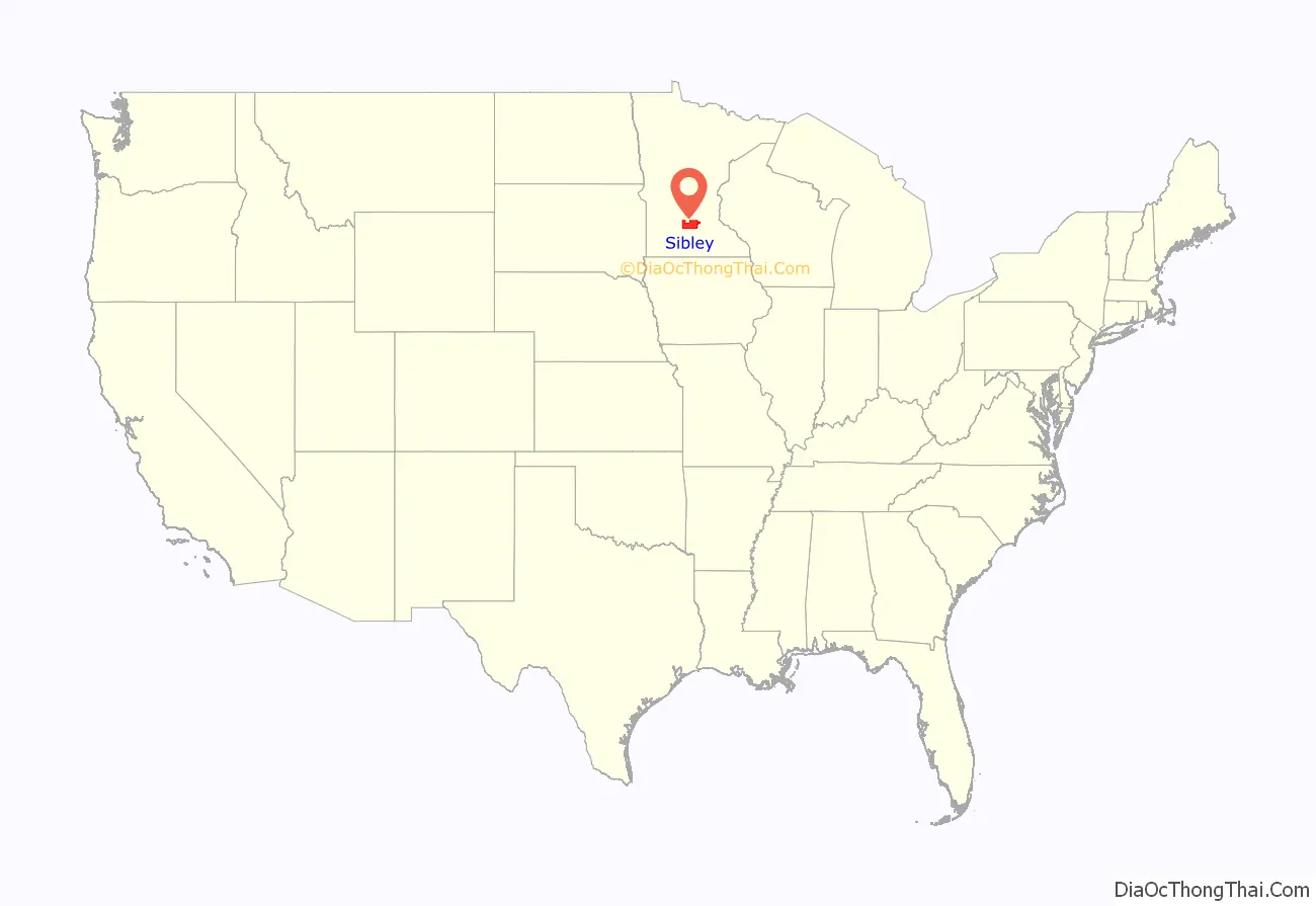
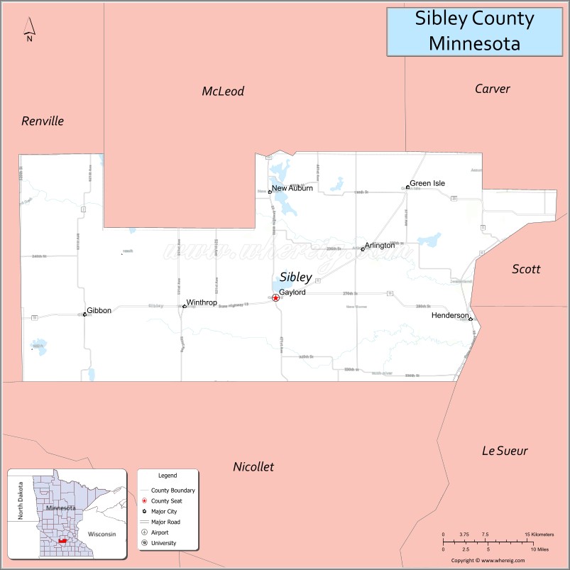
Sibley County location map. Where is Sibley County?

History
The county was created on March 5, 1853. It was named for Henry Hastings Sibley.
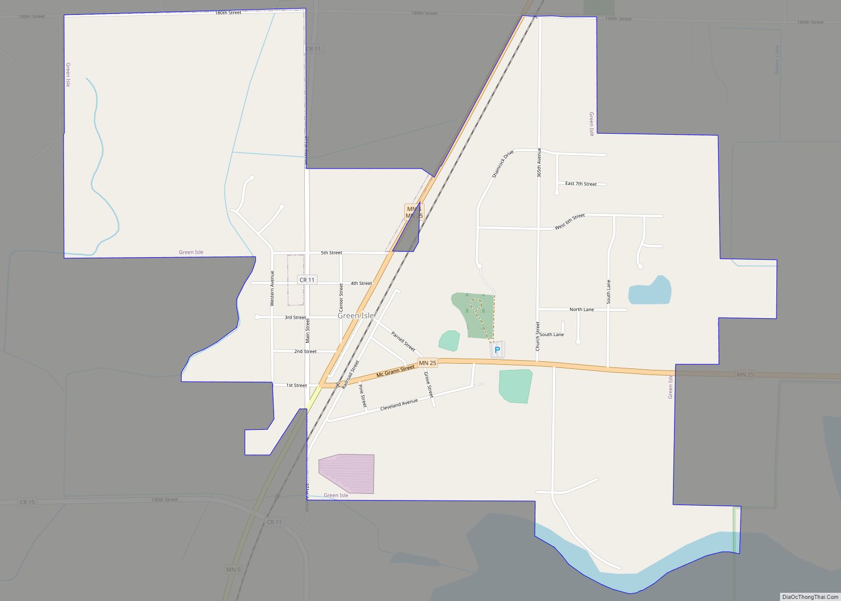
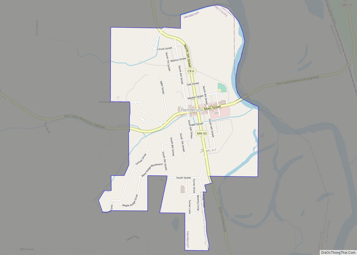
The county seat was first established at Henderson. A courthouse was built there and placed into service in 1879. It was used in that capacity until 1915, when the county seat was moved to Gaylord (after Gaylord residents presented a petition to county supervisors). Now the Henderson Community Building, the original courthouse presently houses Henderson City offices.
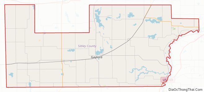
Sibley County Road Map
Geography
The Minnesota River flows northeastward along Sibley County’s eastern border. It is fed by the Rush River, whose three branches drain the lower part of the county before merging and then meeting the Minnesota below Henderson. Bevens Creek drains the upper part of the county, flowing northeastward into Carver County. The county terrain consists of rolling hills etched with drainages and dotted with lakes and ponds, with the area devoted to agriculture. The terrain slopes to the east and north, with its highest point near its northwest corner at 1,083′ (330m) ASL. The county has an area of 601 square miles (1,560 km), of which 589 square miles (1,530 km) is land and 12 square miles (31 km) (2.0%) is water. Most of the Rush River’s watershed is in Sibley County.
Major highways
- U.S. Highway 169
- Minnesota State Highway 5
- Minnesota State Highway 15
- Minnesota State Highway 19
- Minnesota State Highway 22
- Minnesota State Highway 25
- Minnesota State Highway 93
Adjacent counties
- McLeod County – north
- Carver County – northeast
- Scott County – east
- Le Sueur County – southeast
- Nicollet County – south
- Renville County – west
Lakes
- Altnow Lake: in Dryden Township
- Beatty Lake: in Dryden Township
- Clear Lake: northern half is in Severance Township; southern half is in Nicollet County
- Curran Lake: in Green Isle Township
- Erin Lake
- Hahn Lake: in New Auburn Township
- High Island Lake: in New Auburn Township
- Indian Lake: in Transit Township
- Kerry Lake: in Faxon Township
- Kirby Lake
- Mud Lake: in Dryden Township
- Mud Lake: there is another Mud Lake in New Auburn Township northwest of Hahn Lake
- Mud Lake: there is a third Mud Lake in New Auburn Township southeast of Hahn Lake
- Mud Lake: there is a fourth Mud Lake in Severance Township
- Mud Lakes: three lakes in Washington Lake Township
- Round Grove Lake
- Sand Lake: western two thirds is in Cornish Township; the eastern third is in Alfsborg Township
- Schauer Lake: in Green Isle Township
- Schilling Lake: in New Auburn Township
- Severance Lake: in Green Isle Township
- Silver Lake: in Jessenland Township
- Swan Lake: in Severance Township
- Titlow Lake: in Dryden Township: the North Branch Rush River starts at this lake.
- Ward Lake (part)
- Washington Lake: in Washington Lake Township
Protected areas
- Altnow Marsh State Wildlife Management Area
- Indian Lake State Wildlife Management Area
- Minnesota Valley National Wildlife Refuge (part)
- Revanche Wildlife Management Area
- Rush River County Park
Sibley County Topographic Map

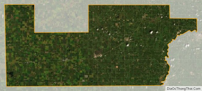
Sibley County Satellite Map
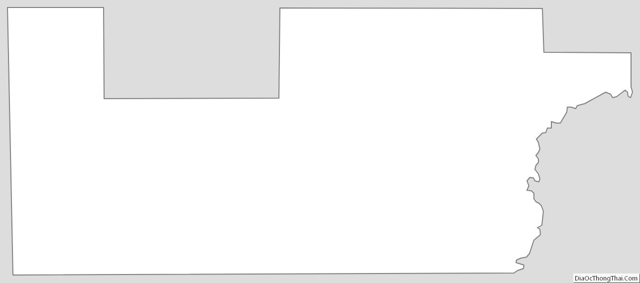
Sibley County Outline Map