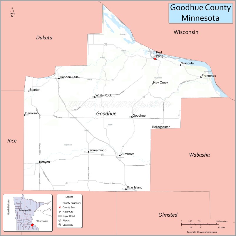
Goodhue County is a county in the U.S. state of Minnesota. As of the 2020 census, the population was 47,582. Its county seat is Red Wing. Nearly all of Prairie Island Indian Community is within the county.
Goodhue County comprises the Red Wing, MN Micropolitan Statistical Area and is included in the Minneapolis–St. Paul, MN-WI Combined Statistical Area.
| Name: | Goodhue County |
|---|---|
| FIPS code: | 27-049 |
| State: | Minnesota |
| Founded: | March 5, 1853 |
| Named for: | James M. Goodhue |
| Seat: | Red Wing |
| Largest city: | Red Wing |
| Total Area: | 780 sq mi (2,000 km²) |
| Land Area: | 757 sq mi (1,960 km²) |
| Total Population: | 47,582 |
| Population Density: | 62.9/sq mi (24.3/km²) |
| Time zone: | UTC−6 (Central) |
| Summer Time Zone (DST): | UTC−5 (CDT) |
| Website: | www.co.goodhue.mn.us |
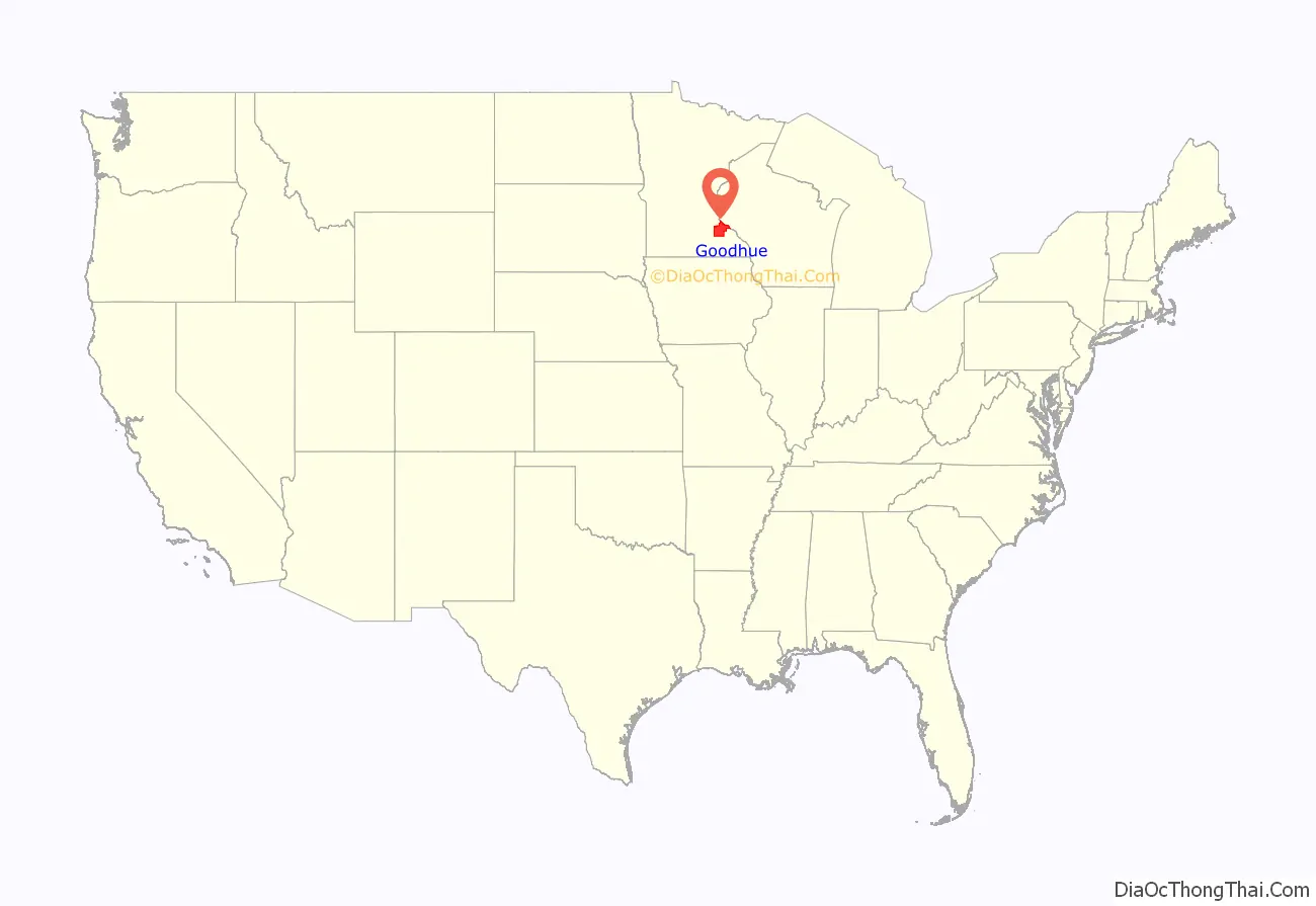
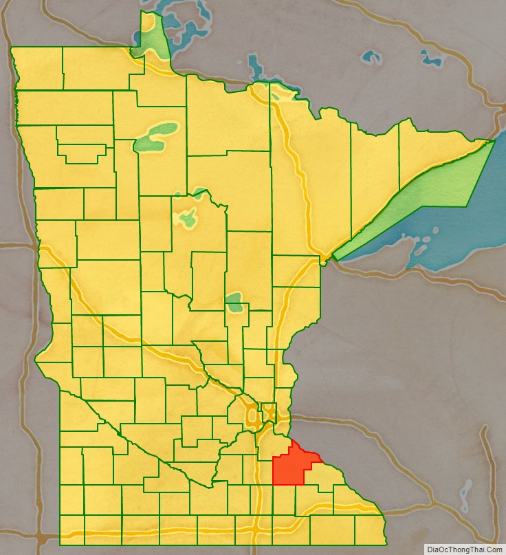
Goodhue County location map. Where is Goodhue County?
History
The county was created on March 5, 1853, with territory partitioned from Wabasha County. It was named for James Madison Goodhue (1810–1852), who published the first newspaper in the territory, The Minnesota Pioneer.
The county was originally settled exclusively by “Yankee” settlers, meaning that they both came to Goodhue County either directly from the six New England states or from upstate New York, where they were born to parents who had moved to that region from the six New England states in the immediate aftermath of the American Revolution, and that they were descended from the English Puritans who emigrated to North America during the early 1600s. Because of the prevalence of New Englanders and New England transplants from upstate New York the county was said to have a “distinctly New England character”. While this was true of many neighboring counties it was considered exceptionally true of Goodhue County. The New Englanders brought with them many of their New England values, including a love of education and fervent support of the abolitionist movement. When the New Englanders arrived, they laid out farms, established post routes, and built schools and government buildings out of locally available materials. The New Englanders and their descendants made up the great majority of Goodhue County’s inhabitants until the late 19th and early 20th century, when immigrants from Germany and Norway began arriving in the Minnesota-Wisconsin border region in large numbers. There were small numbers of immigrants from Germany, Norway and Sweden during the first several decades of Goodhue County’s history as well.
Hamline University, Minnesota’s first college of higher learning, was started in Red Wing in 1854. It closed during the Civil War, and reopened in 1869 in Saint Paul.
The county was a leading producer of wheat during the mid-19th century, and for several years the county boasted the highest wheat production in the country. Fires at two of Red Wing’s mills in the 1880s and developing railroad routes across Minnesota encouraged farmers from neighboring counties to begin sending their wheat to Minneapolis mills, reducing the county’s importance in the wheat trade around the start of the 20th century.
The first municipal swimming pool in the state was built in Goodhue County.
In October 1960, President Dwight D. Eisenhower visited the county for a bridge dedication ceremony. The Hiawatha Bridge had been built to replace the Old High Bridge that spanned the Mississippi River since 1895. This visit drew 20,000 people. Eisenhower hoped his visit would help in the elections, swaying Minnesota voters to vote for Richard Nixon in the 1960 presidential election in the coming month. But John F. Kennedy carried the state on his way to being elected the next president.
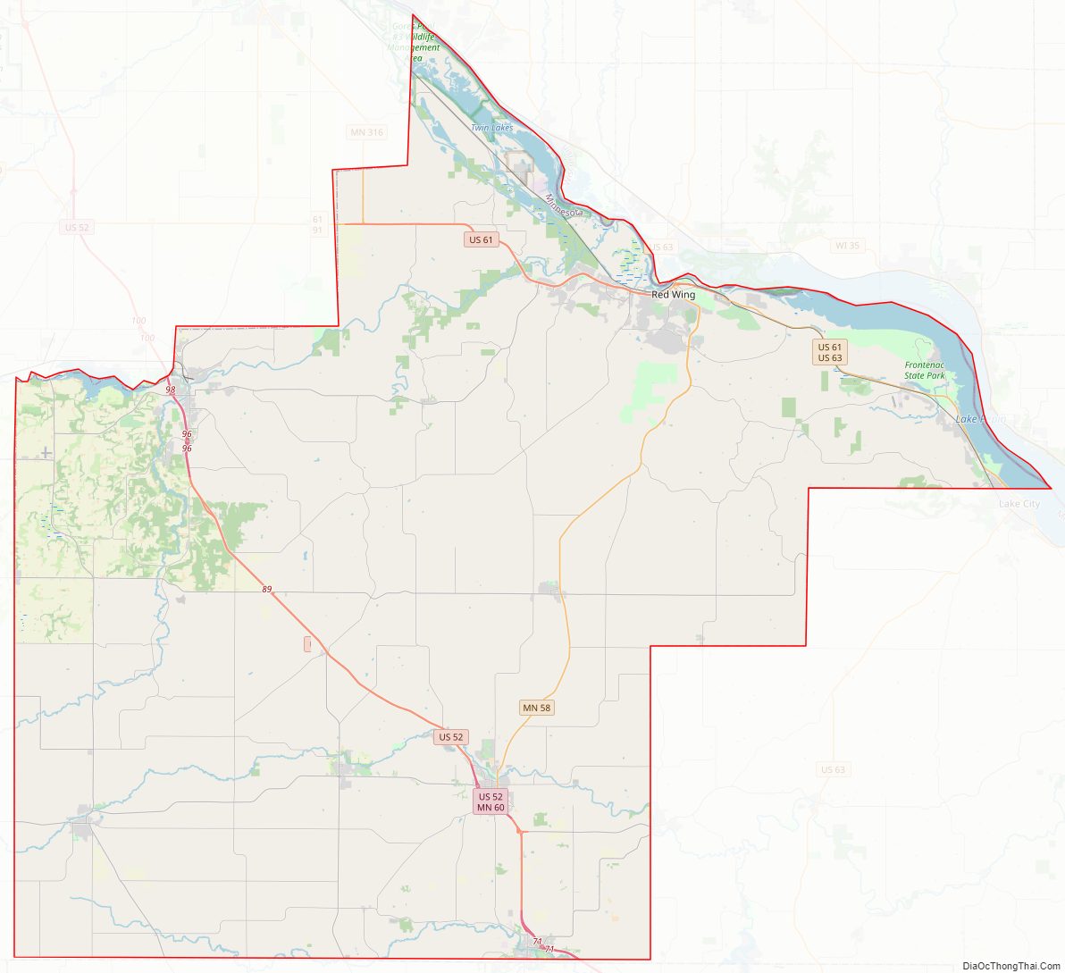
Goodhue County Road Map
Geography
Goodhue County lies on Minnesota’s border with Wisconsin (across Lake Pepin). The Cannon River flows eastward through the northern part of the county on its way to discharge into Lake Pepin. The Little Cannon River flows northward through the west-central part of the county, discharging into the Cannon River at Cannon Falls. The North Fork of the Zumbro River flows eastward through the lower part of the county. The county terrain consists of rolling hills, etched with drainages and gullies, and with high bluffs against the river valleys. The terrain slopes to the east and north; its highest point is near its southwest corner at 1,260′ (384m) ASL. The county has an area of 780 square miles (2,000 km), of which 757 square miles (1,960 km) is land and 24 square miles (62 km) (3.0%) is water. Goodhue is one of 17 Minnesota counties with more savanna soils than either prairie or forest soils.
Lakes
- Birch Lake
- Brewer Lake
- Cannon Lake
- Clear Lake
- Devils Lake
- Espen Lakes
- Goose Lake
- Lake Byllesby
- Larson Lake
- Nelson Lake
- North Lake
- Rattling Springs Lake
- Spring Banks Lake
- Spring Creek Lake
- Sturgeon Lake
- Twin Lakes
Major highways
- U.S. Highway 52
- U.S. Highway 61
- U.S. Highway 63
- Minnesota State Highway 19
- Minnesota State Highway 20
- Minnesota State Highway 56
- Minnesota State Highway 57
- Minnesota State Highway 58
- Minnesota State Highway 60
- Minnesota State Highway 246
- Minnesota State Highway 292
- Minnesota State Highway 316
- List of county roads
Adjacent counties
- Pierce County, Wisconsin – north
- Pepin County, Wisconsin – northeast
- Wabasha County – east
- Olmsted County – southeast
- Dodge County – south
- Rice County – west
- Dakota County – northwest
Protected areas
- Cannon River Turtle Preserve Scientific and Natural Area
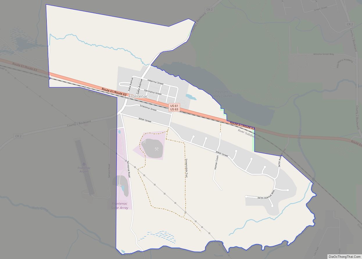
- Frontenac State Park
- Miesville Ravine Park Reserve (part)
- North Fork Zumbro Woods Scientific and Natural Area
- Spring Creek Prairie Scientific and Natural Area
- Woodbury State Wildlife Management Area
Goodhue County Topographic Map
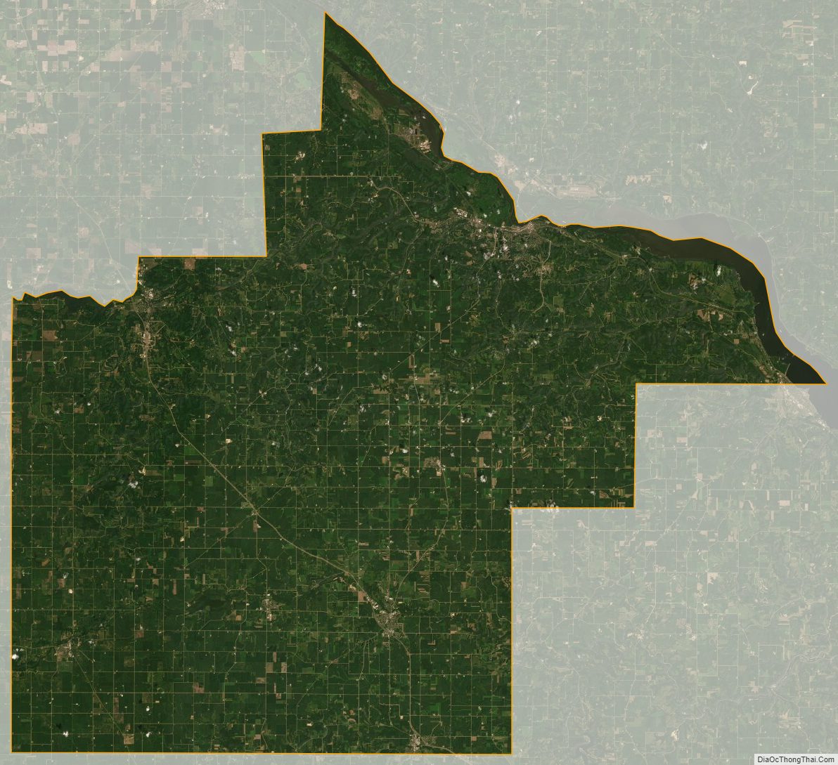
Goodhue County Satellite Map
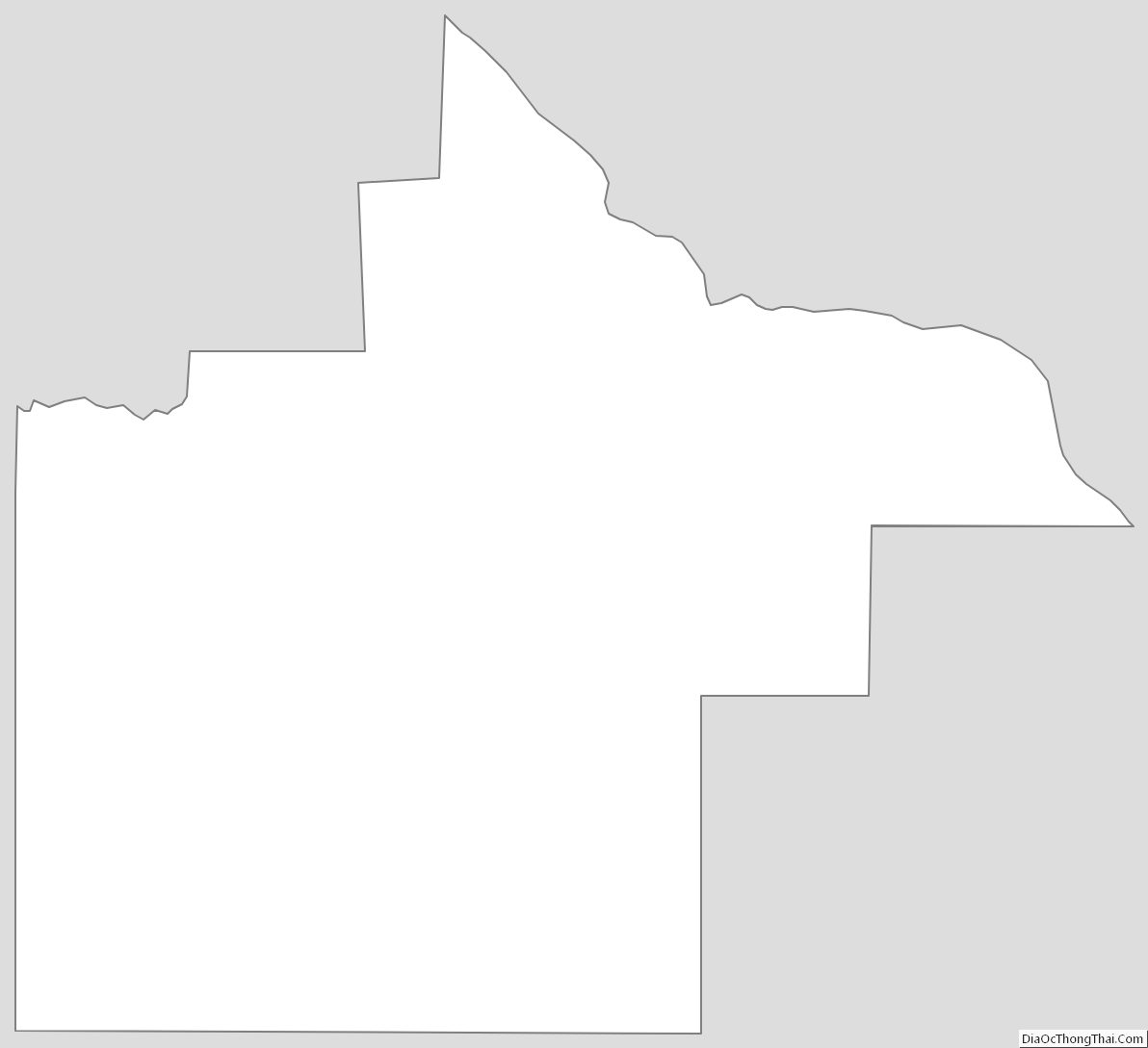
Goodhue County Outline Map