| Name: | Montmorency County |
|---|---|
| FIPS code: | 26-119 |
| State: | Michigan |
| Founded: | 1840 |
| Named for: | House of Montmorency |
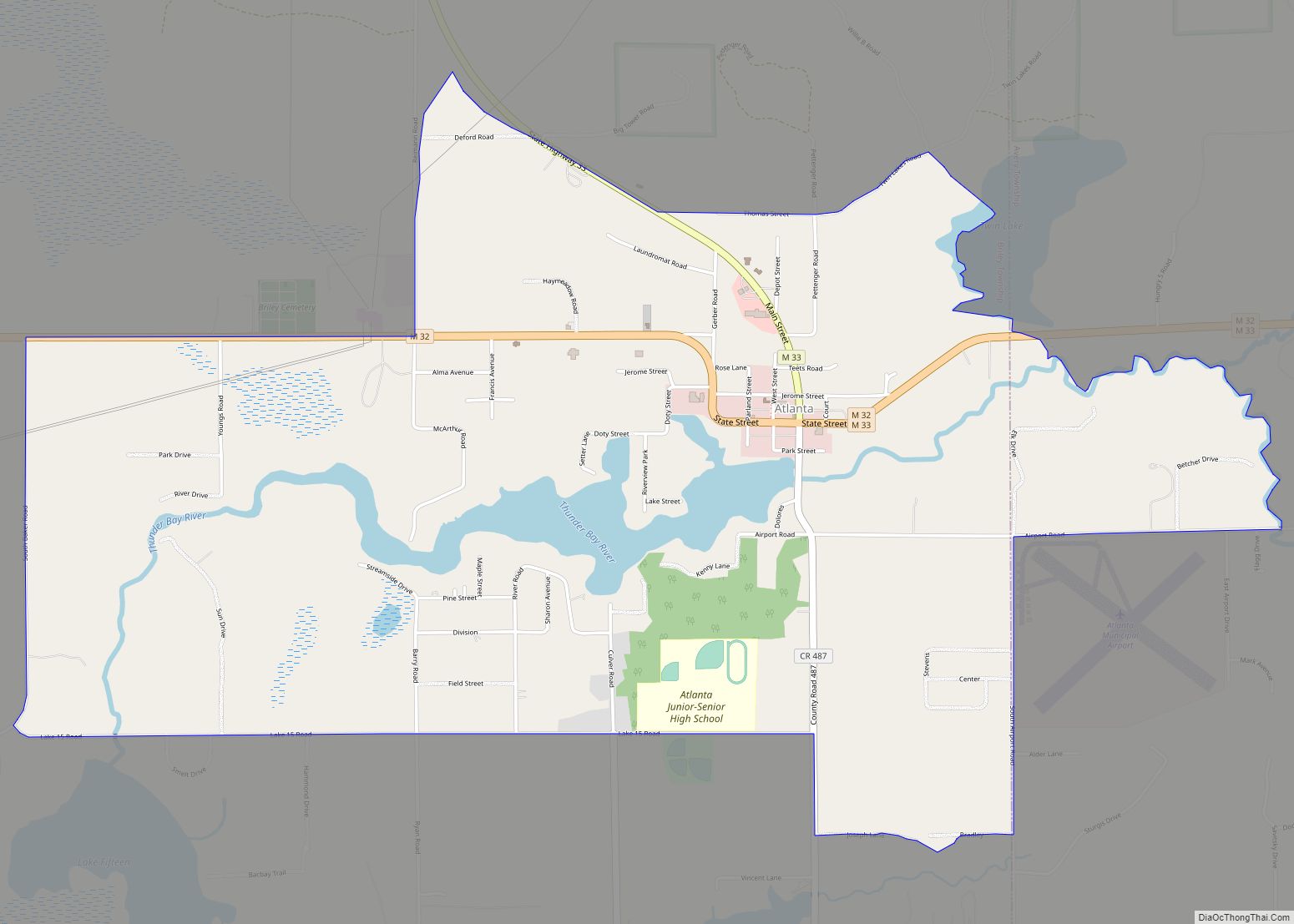
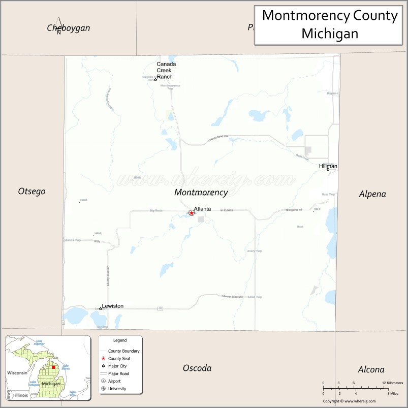
| Seat: | Atlanta |
| Total Area: | 563 sq mi (1,460 km²) |
| Land Area: | 547 sq mi (1,420 km²) |
| Total Population: | 9,153 |
| Population Density: | 18/sq mi (7/km²) |
| Time zone: | UTC−5 (Eastern) |
| Summer Time Zone (DST): | UTC−4 (EDT) |
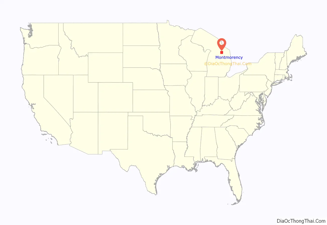
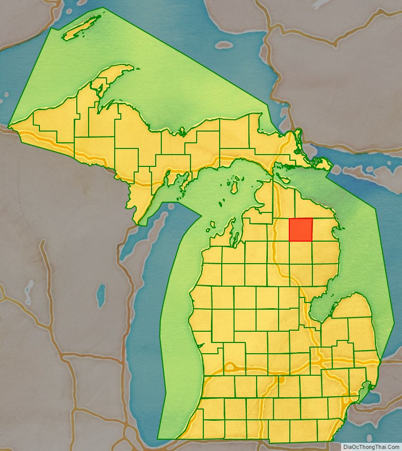
Montmorency County location map. Where is Montmorency County?
History
The county was created by the Michigan Legislature in 1840 as Cheonoquet County, after a well-known Chippewa (also known as Ojibwa) Chief, whose name meant Big Cloud. Cheonoquet took part in Indian treaties in 1807, 1815, 1825 and 1837. Renamed Montmorency County on March 8, 1843, it was originally spelled Montmorenci, and historians conjecture this reflects the area’s French-Canadian influence: the French Duke of Montmorency purchased a lieutenant governorship in Canada and the first archbishop of Canada—Montmorency-Laval—both could be influences on the county’s name. (There was no “Count Morenci” aiding the American Revolution). The county was organized in 1881. The reason for the change in spelling is subject to some dispute. See List of Michigan county name etymologies. The name Montmorency probably means Mountain Moor. Montmorency is a boggy land or moor that is at the top of a broad mount or highland. When the county was organized in 1881, some land area was taken from Cheboygan and Alpena counties. Three townships were divided: Briley, Montmorency and Rust. By 1901 Albert, Hillman Township and Wheatfield were added. Brush Creek, now known as Hillman, was the first county seat. In 1891 the county seat was moved to Atlanta.
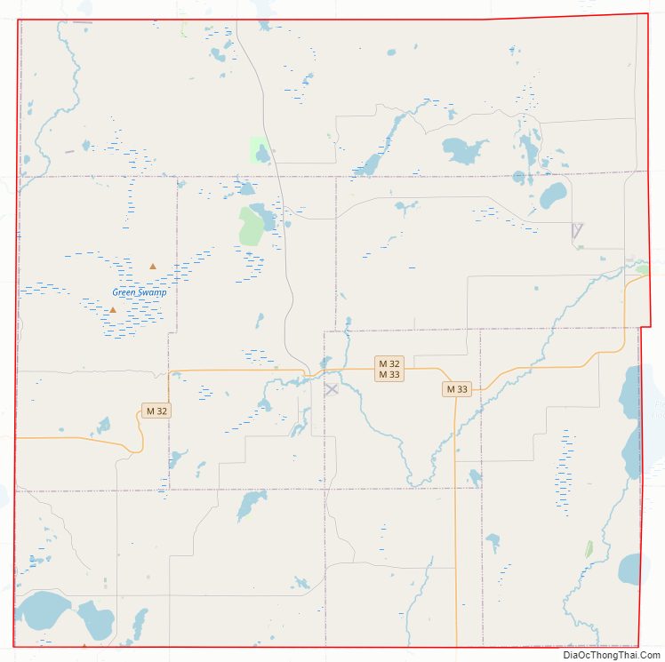
Montmorency County Road Map
Geography
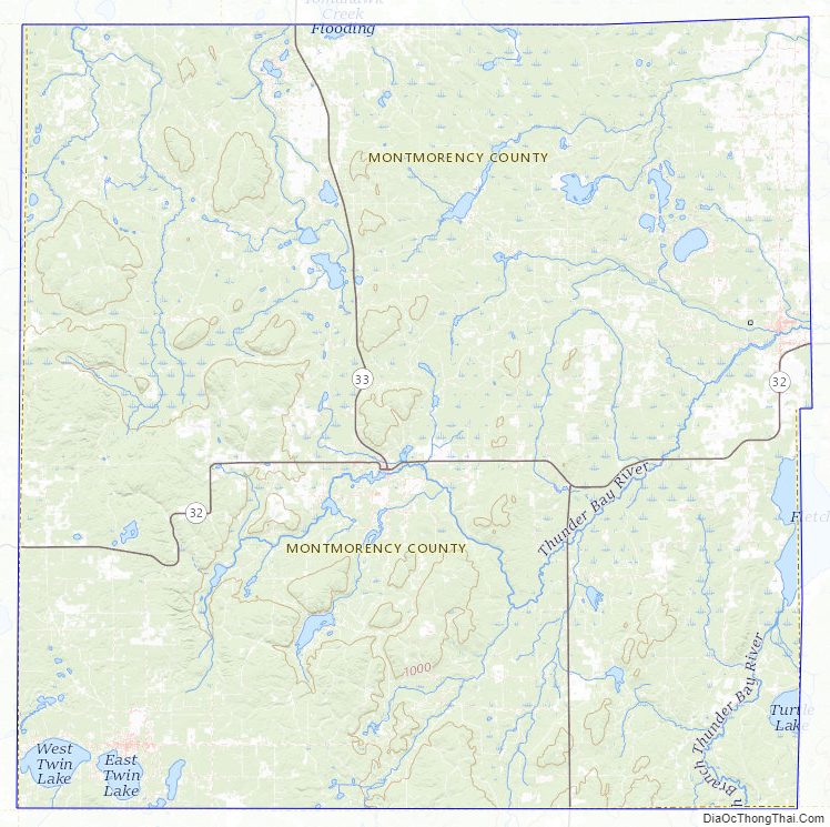
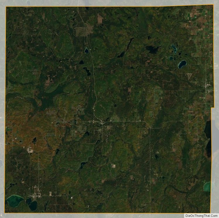
According to the U.S. Census Bureau, the county has a total area of 563 square miles (1,460 km), of which 547 square miles (1,420 km) is land and 16 square miles (41 km) (2.8%) is water. Although it lies on Michigan’s Lower Peninsula, Montmorency County is considered to be part of Northern Michigan.
Most of the county is covered by state forest land. There is an abundance of lakes, such as Long Lake. Glaciers shaped the area, creating a unique regional ecosystem. A large portion of the area is the Grayling outwash plain, a broad outwash plain including sandy ice-disintegration ridges, jack pine barrens, some white pine-red pine forest, and northern hardwood forest. Large lakes were created by glacial action.
Adjacent counties
- Presque Isle County – northeast
- Alpena County – east
- Alcona County – southeast
- Oscoda County – south
- Crawford County – southwest
- Otsego County – west
- Cheboygan County – northwest
Major highways
- M-32
- M-33
- Bus. M-32
- F-01
- F-21
There are no traffic lights in Montmorency county, although a few blinking lights exist at highway junctions.
Montmorency County Topographic Map
Montmorency County Satellite Map
Montmorency County Outline Map