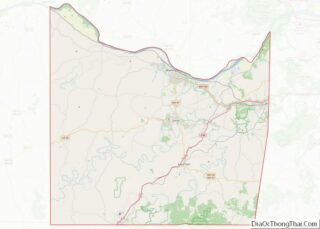
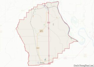
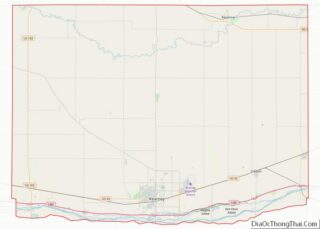
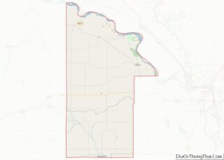
Map of Erath County

Map of Erath County, Texas

Erath County (/ˈiːræθ/) is a county located in the U.S. state of Texas. According to the United States Census bureau its population was 42,545 in 2020. The county seat is Stephenville. The county is named for George Bernard Erath, an early surveyor and a soldier at the Battle of San Jacinto. Erath County is included … Read more

Map of Goliad County

Map of Goliad County, Texas

Goliad County (/ˈɡoʊliæd/ GOH-lee-ad) is a county located in the U.S. state of Texas. As of the 2020 census, the population is 7,012. Its county seat is Goliad. The county is named for Father Miguel Hidalgo; “Goliad” is an anagram , minus the silent H. The county was created in 1836 and organized the next … Read more

Map of Haskell County

Map of Haskell County, Texas

Haskell County is a county located in the U.S. state of Texas. As of the 2020 census, its population was 5,416. The county seat is Haskell. The county was created in 1858 and later organized in 1885. It is named for Charles Ready Haskell, who was killed in the Goliad massacre. Haskell County overview: Name: … Read more

Map of Jackson County

Map of Jackson County, Texas

Jackson County overview: Name: Jackson County FIPS code: 48-239 State: Texas Founded: 1836 Named for: Andrew Jackson Seat: Edna Largest city: Edna Total Area: 857 sq mi (2,220 km²) Land Area: 829 sq mi (2,150 km²) Total Population: 14,988 Population Density: 17/sq mi (6.8/km²) Time zone: UTC−6 (Central) Summer Time Zone (DST): UTC−5 (CDT) Website: www.co.jackson.tx.us Jackson County location map. Where is … Read more

Map of Kinney County

Map of Kinney County, Texas

Kinney County is a county located in the U.S. state of Texas. As of the 2020 census, its population was 3,129. Its county seat is Brackettville. The county was created in 1850 and later organized in 1874. It is named for Henry Lawrence Kinney, an early settler. Kinney County’s self-proclaimed biggest issue since the 2010s … Read more

Map of Lubbock County

Map of Lubbock County, Texas

Lubbock County overview: Name: Lubbock County FIPS code: 48-303 State: Texas Founded: 1891 Named for: Thomas Saltus Lubbock Seat: Lubbock Largest city: Lubbock Total Area: 901 sq mi (2,330 km²) Land Area: 896 sq mi (2,320 km²) Total Population: 310,639 Population Density: 340/sq mi (130/km²) Time zone: UTC−6 (Central) Summer Time Zone (DST): UTC−5 (CDT) Lubbock County location map. Where is Lubbock … Read more

Map of Mitchell County

Map of Mitchell County, Texas

Mitchell County overview: Name: Mitchell County FIPS code: 48-335 State: Texas Founded: 1881 Seat: Colorado City Largest city: Colorado City Total Area: 916 sq mi (2,370 km²) Land Area: 911 sq mi (2,360 km²) Total Population: 8,990 Population Density: 9.8/sq mi (3.8/km²) Time zone: UTC−6 (Central) Summer Time Zone (DST): UTC−5 (CDT) Mitchell County location map. Where is Mitchell County? Mitchell County … Read more

Map of Parker County

Map of Parker County, Texas

Parker County is a county located in the U.S. state of Texas. As of the 2020 census, its population was 148,222. The county seat is Weatherford. The county was created in 1855 and organized the following year. It is named for Isaac Parker, a state legislator who introduced the bill that established the county in … Read more

Map of Runnels County

Map of Runnels County, Texas

Runnels County is a county located in the U.S. state of Texas. As of the 2020 census, its population was 9,900. Its county seat is Ballinger. The county was created in 1858 and later organized in 1880. It is named for Hiram G. Runnels, a Texas state legislator. Runnels County overview: Name: Runnels County FIPS … Read more

Map of Sterling County

Map of Sterling County, Texas

Sterling County is a county located on the Edwards Plateau in the U.S. state of Texas. As of the 2020 census, its population was 1,372, making it the ninth-least populous county in Texas. Its county seat is Sterling City. The county is named for W. S. Sterling, an early settler in the area. Sterling County … Read more

Map of Uvalde County

Map of Uvalde County, Texas

Uvalde County (/juːˈvældi/ (listen) yoo-VAL-dee; Spanish: Condado de Uvalde) is a county located in the U.S. state of Texas. As of the 2020 census, its population was 24,564. Its county seat is Uvalde. The county was created in 1850 and organized in 1856. It is named for Juan de Ugalde, the Spanish governor of Coahuila. … Read more

Map of Winkler County

Map of Winkler County, Texas

Winkler County is a county in the U.S. state of Texas. As of the 2020 census, its population was 7,791. Its county seat is Kermit. The county was created in 1887 and organized in 1910. It is named for Clinton McKamy Winkler, a colonel in the Confederate Army. Winkler County overview: Name: Winkler County FIPS … Read more