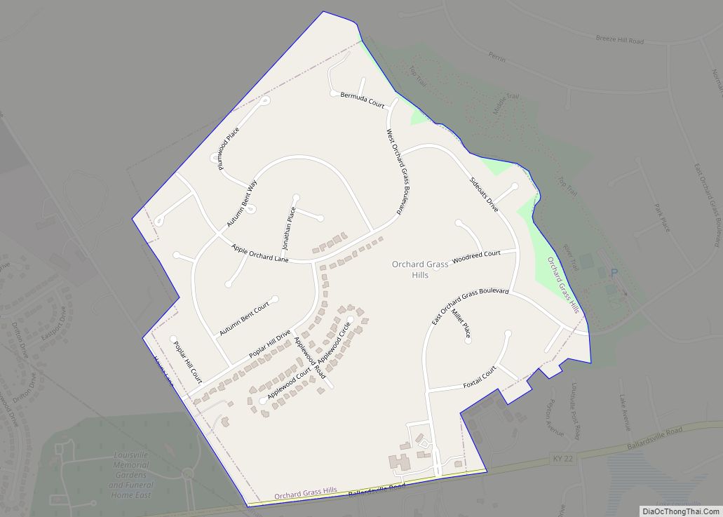
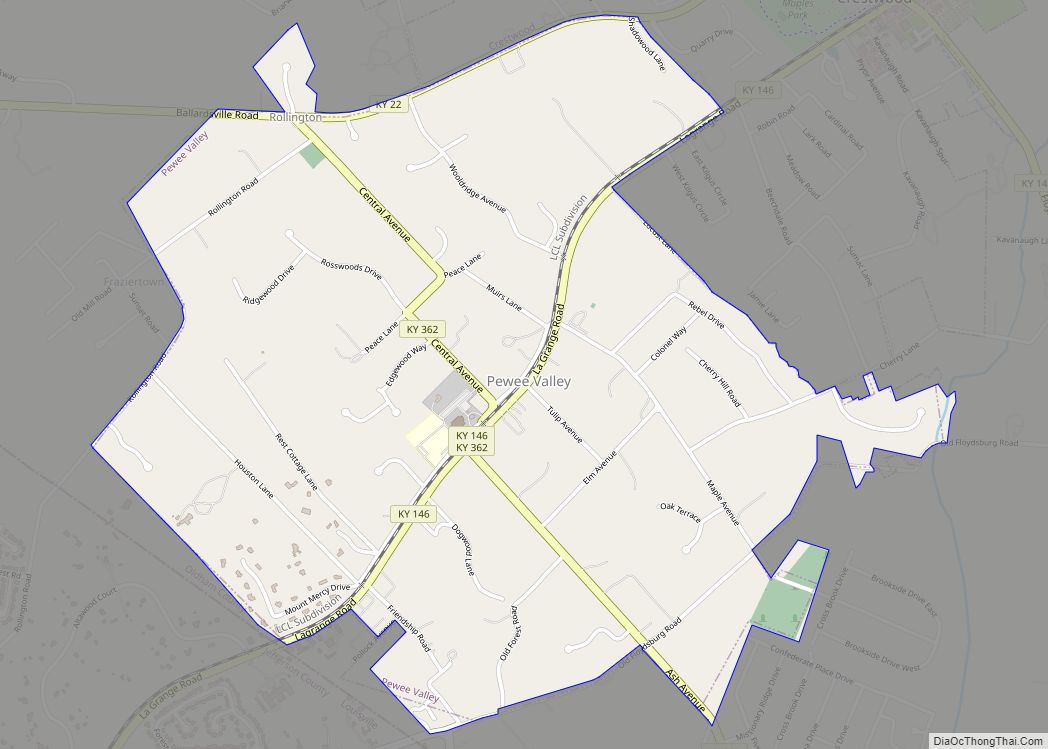
Oldham County is a county located in the north central part of the U.S. state and commonwealth of Kentucky. As of the 2020 census, the population was 67,607. Its county seat is La Grange. The county is named for Colonel William Oldham.
Oldham County is part of the Louisville/Jefferson County, KY–IN Metropolitan Statistical Area.
Oldham County is the wealthiest county in Kentucky and 47th-wealthiest county in the U.S. and ranks as the most educated county in Kentucky While the causes for this are complicated, areas east of Louisville have long been popular with wealthy residents, initially as summer residences and eventually as year-round suburban estates and bedroom communities. Oldham County lies northeast of the best known of these areas, Anchorage, just outside Louisville’s pre-merger East End.
| Name: | Oldham County |
|---|---|
| FIPS code: | 21-185 |
| State: | Kentucky |
| Founded: | December 15, 1823 |
| Named for: | William Oldham (1753–1791), American Revolutionary War colonel |
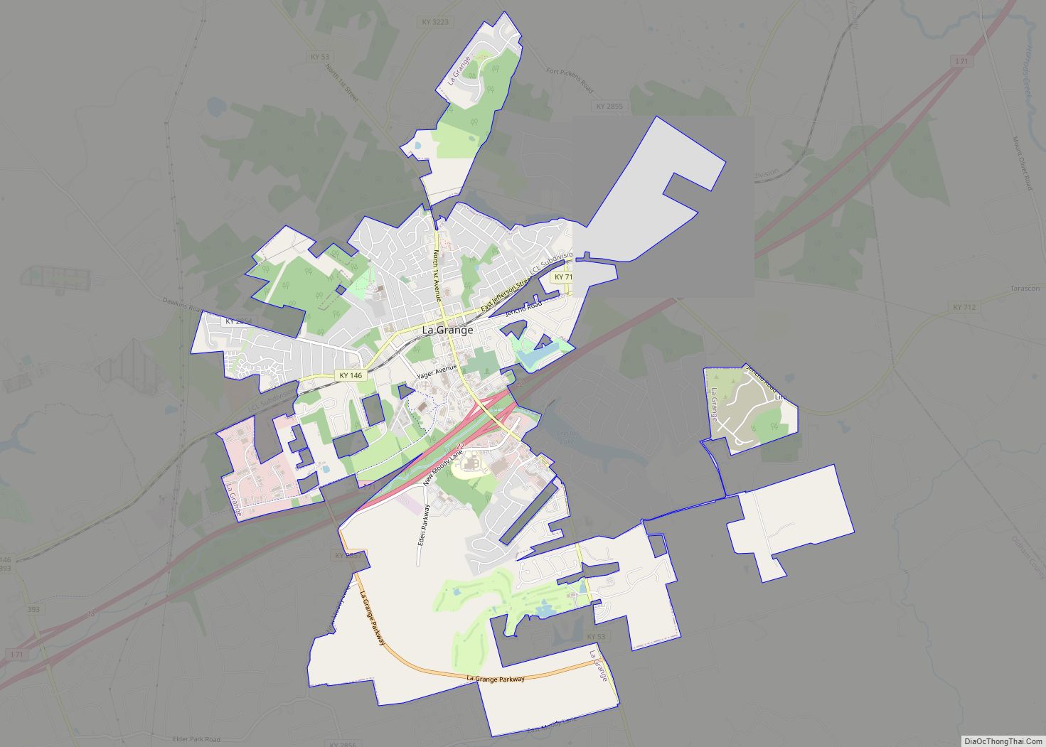
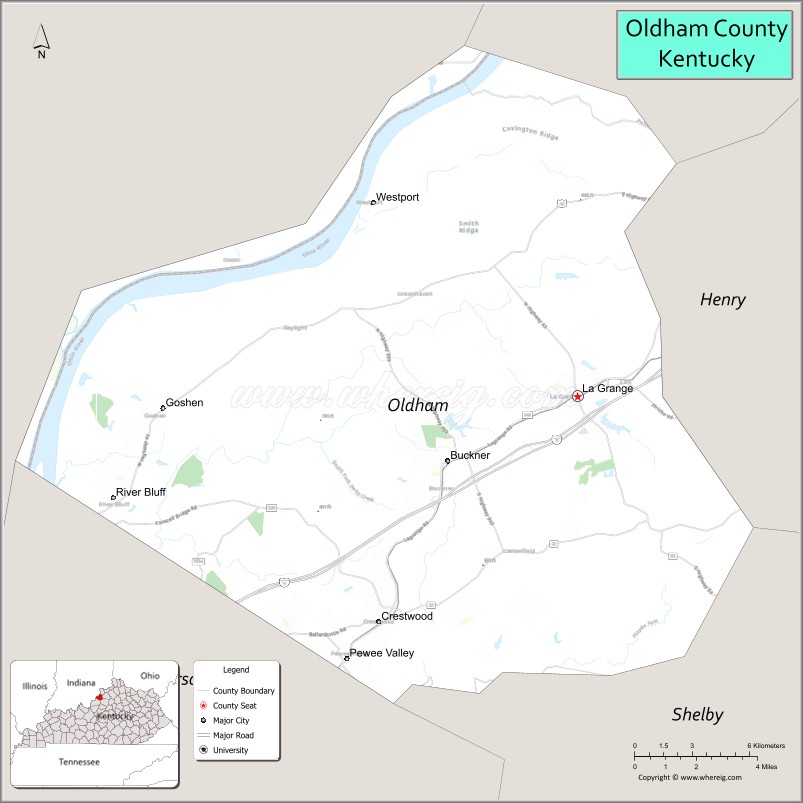
| Seat: | La Grange |
| Largest city: | La Grange |
| Total Area: | 196 sq mi (510 km²) |
| Land Area: | 187 sq mi (480 km²) |
| Total Population: | 67,607 |
| Population Density: | 340/sq mi (130/km²) |
| Time zone: | UTC−5 (Eastern) |
| Summer Time Zone (DST): | UTC−4 (EDT) |
| Website: | www.oldhamcounty.net |
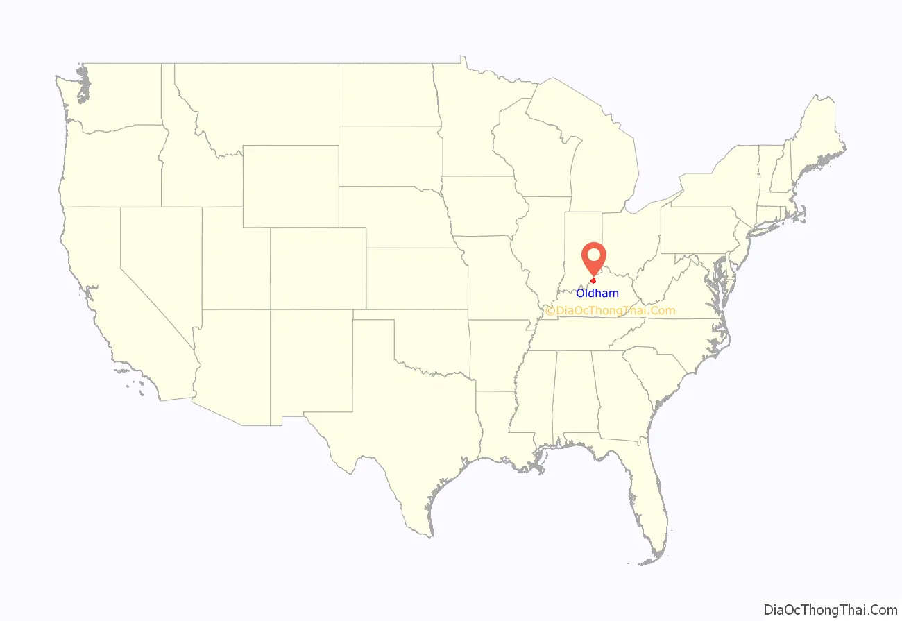
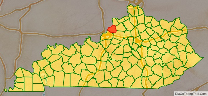
Oldham County location map. Where is Oldham County?
History
Oldham County was established on December 15, 1823 from parts of Henry, Jefferson, and Shelby Counties. It was the 74th Kentucky county, and was named in honor of Col. William Oldham of Jefferson County, a Revolutionary War officer.
Initially, it was mainly a rural county with small, scattered developments in places like Westport which was founded in 1800 and served as the county seat early on. When the Louisville and Frankfort Railroad Company introduced rail lines in the area in the 1850s, many new towns and communities sprang up. Eventually the railroad ceased operating as a form of public transportation, but the more rural nature of the county continued to draw residents away from the metropolitan areas in Jefferson County. Since the early 1970s and the completion of Interstate 71, which connects Oldham County to Downtown Louisville and shopping in Eastern Jefferson County, Oldham County has increasingly become suburban in nature, a natural extension of Louisville’s wealthy East End as it ran out of large tracts of undeveloped land.
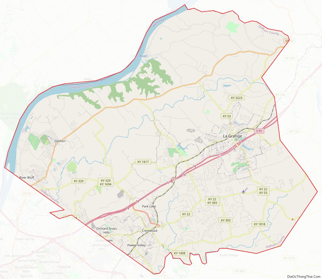
Oldham County Road Map
Geography
According to the United States Census Bureau, the county has a total area of 196 square miles (510 km), of which 187 square miles (480 km) are land and 9.2 square miles (24 km) (4.7%) are covered by water. It is the 13th-smallest county in Kentucky. The county’s northern border with Indiana is formed by the Ohio River.
Adjacent counties
- Clark County, Indiana (northwest)
- Trimble County (northeast)
- Henry County (east)
- Shelby County (southeast)
- Jefferson County (southwest)
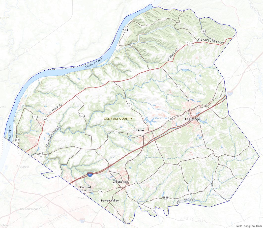
Oldham County Topographic Map
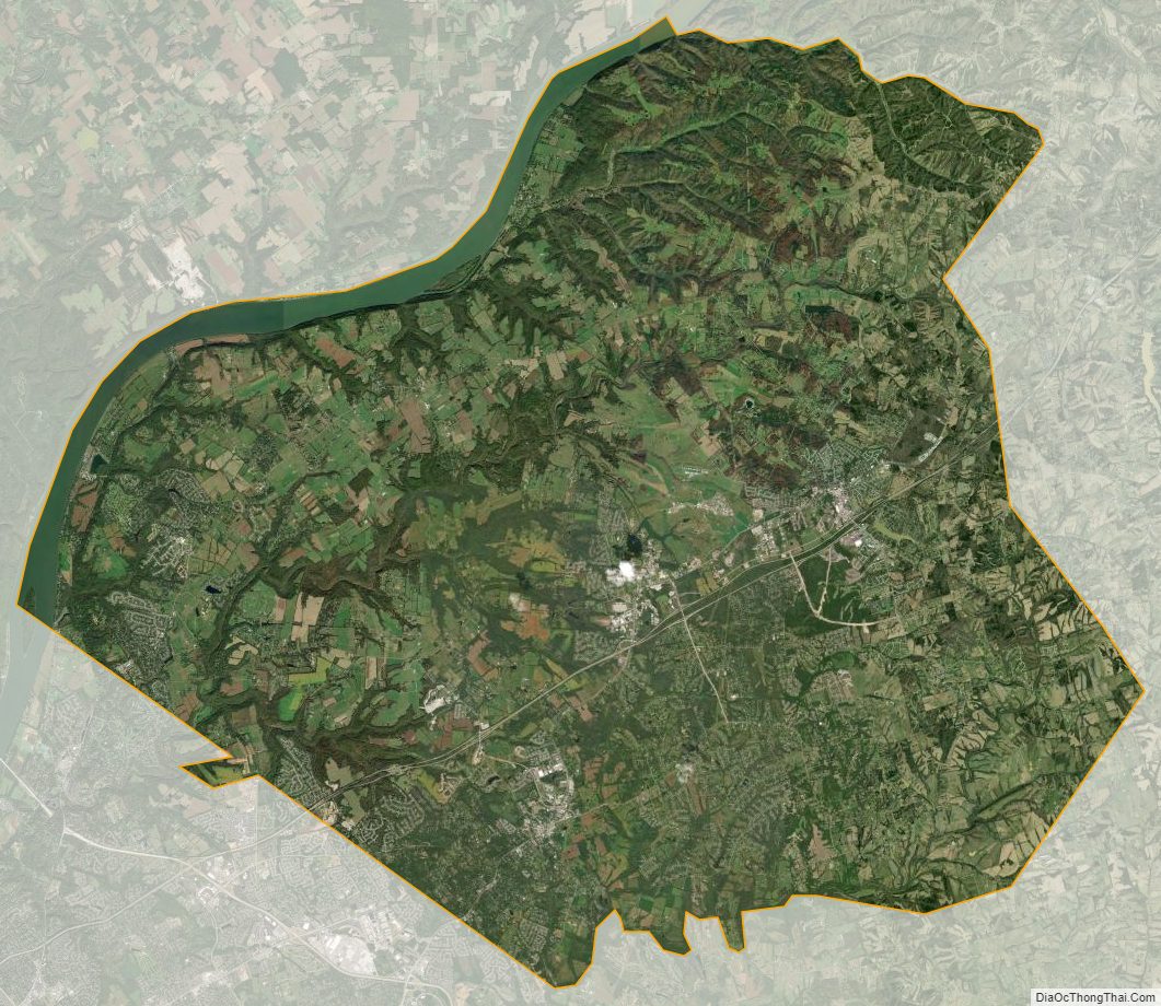
Oldham County Satellite Map
Oldham County Outline Map