Greenup County is a county located along the Ohio River in the northeastern part of the U.S. state of Kentucky. As of the 2020 census, the population was 35,962. The county was founded in 1803 and named in honor of Christopher Greenup. Its county seat is Greenup. Greenup County is part of the Huntington-Ashland, WV-KY-OH Metropolitan Statistical Area.
| Name: | Greenup County |
|---|---|
| FIPS code: | 21-089 |
| State: | Kentucky |
| Founded: | 1803 |
| Named for: | Christopher Greenup |
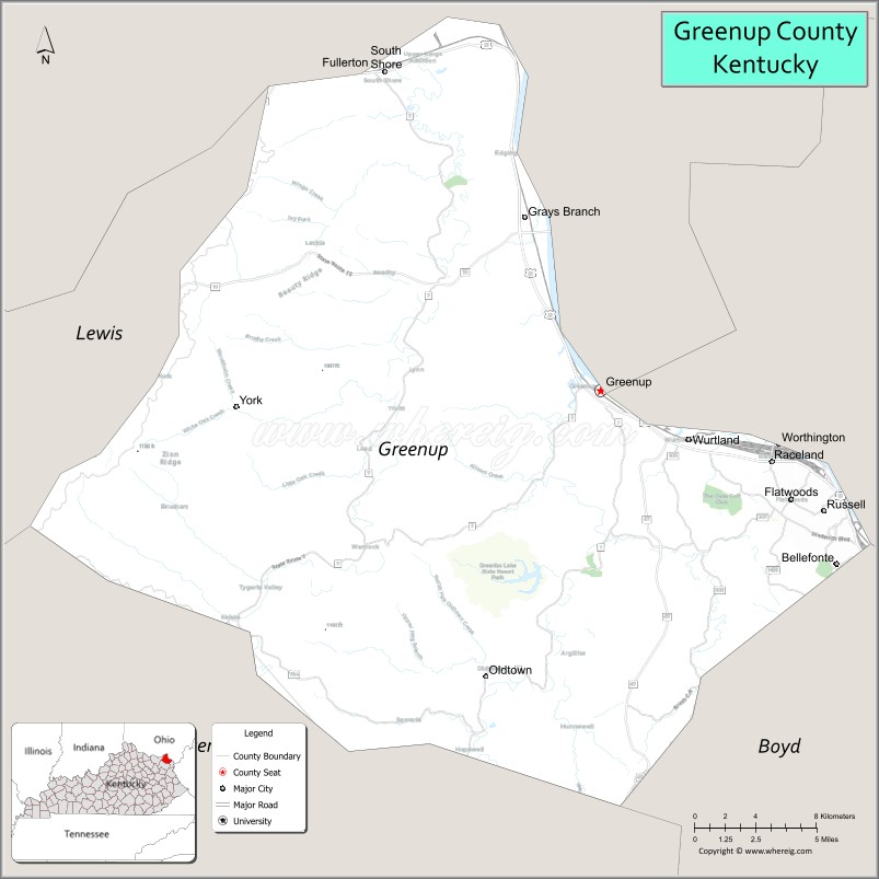
| Seat: | Greenup |
| Largest city: | Flatwoods |
| Total Area: | 354 sq mi (920 km²) |
| Land Area: | 344 sq mi (890 km²) |
| Total Population: | 35,962 |
| Population Density: | 100/sq mi (39/km²) |
| Time zone: | UTC−5 (Eastern) |
| Summer Time Zone (DST): | UTC−4 (EDT) |
| Website: | greenupcounty.ky.gov/Pages/default.aspx |
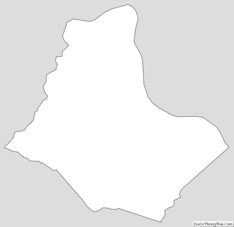
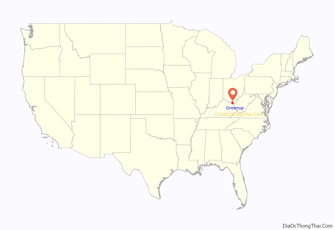
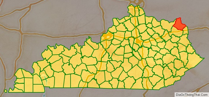
Greenup County location map. Where is Greenup County?
History
Located with its northern border formed by the Ohio River, Greenup County was organized by an act of the General Assembly of Kentucky on December 12, 1803, from Mason County, which included the majority of eastern Kentucky at the time.
Three courthouses have served Greenup County. The first courthouse, built of logs, was replaced by a brick structure in 1811.
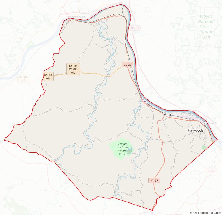
Greenup County Road Map
Geography
According to the United States Census Bureau, the county has a total area of 354 square miles (920 km), of which 344 square miles (890 km) is land and 10 square miles (26 km) (2.8%) is water.
Features
Like most eastern Kentucky counties, Greenup County is predominantly made up of rolling hills and valleys. The land in the Ohio River valley is generally flat and mostly populated by industry, commerce and residential development. Beyond this the land gives way to a series of hills and valleys that are representative of the foothills of the Appalachian Mountains. It is relatively sparsely inhabited by farmers. Among these hills, popular fishing spots can be found among the Little Sandy River, Greenbo Lake, and Tygarts Creek. Greenup County’s land is still predominantly covered by forest with minimal clear cutting of the old forests.
The soil has long supported a healthy agriculture and livestock industry. Traditionally, this has meant a sizeable tobacco base and cattle ranching. Since the late 20th century, as traditional agriculture products have been dominated by industrial-scale agri-corporations, growth has been seen in non-traditional products such as American Quarter Horses, ostriches, and marijuana.
Major highways
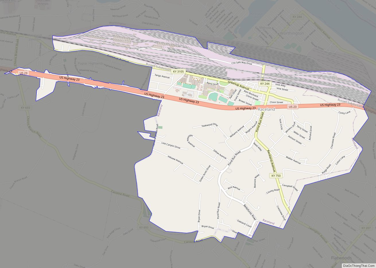
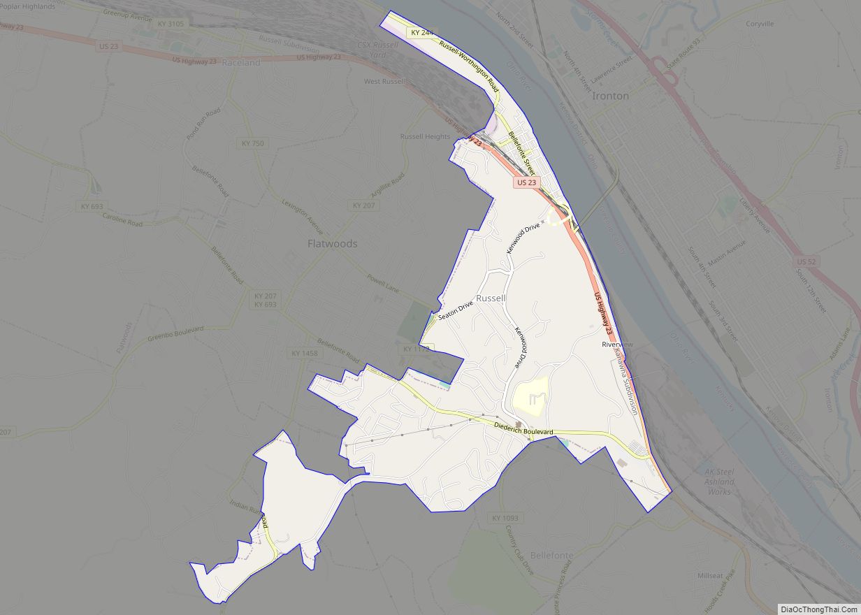
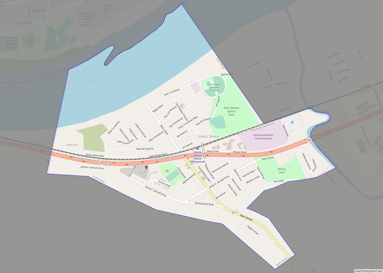
U.S. Highway 23 is the primary route for travel through Greenup County. It enters Greenup County at the southeasternmost point and follows the Ohio River north along the eastern border passing through Russell, Flatwoods, Raceland, Wurtland, Greenup and South Shore. It then exits just west of South Shore crossing the Ohio River via the U.S. Grant Bridge into Portsmouth, Ohio and continuing north towards Columbus, Ohio.
The AA Highway begins at U.S. Highway 23 and connects to U.S. Highway 52 in Ohio via the Jesse Stuart Memorial Bridge. The AA Highway (also known as Route 10) runs west intersecting Route 7 and eventually exiting west into Lewis County. Since its completion in 1995, the AA Highway has allowed Northeastern Kentucky residents to more easily travel to Maysville, Kentucky as well as Northern Kentucky and Cincinnati, Ohio.
The northern terminus of the Industrial Parkway (Kentucky Route 67) ends at U.S. Highway 23 at Wurtland. This highway serves to connect Wurtland and the surrounding towns of Greenup, Flatwoods and the unincorporated area of Argillite to the EastPark industrial park and Interstate 64 in Carter County.
Adjacent counties
- Boyd County (southeast)
- Carter County (southwest)
- Lewis County (west)
- Scioto County, Ohio (north)
- Lawrence County, Ohio (east)
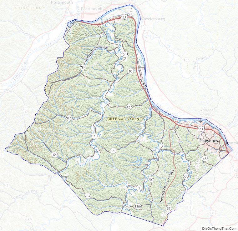
Greenup County Topographic Map
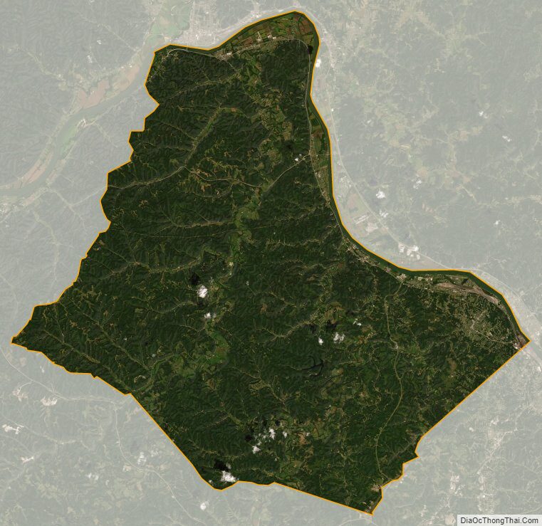
Greenup County Satellite Map
Greenup County Outline Map