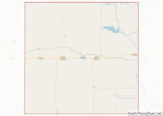
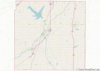
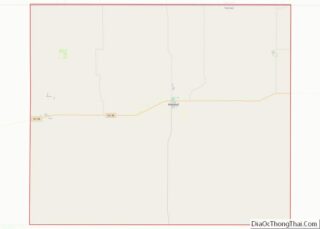
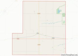
Map of Miller County

Map of Miller County, Georgia

Miller County overview: Name: Miller County FIPS code: 13-201 State: Georgia Founded: 1856 Seat: Colquitt Largest city: Colquitt Total Area: 284 sq mi (740 km²) Land Area: 282 sq mi (730 km²) Total Population: 6,000 Population Density: 21/sq mi (8/km²) Time zone: UTC−5 (Eastern) Summer Time Zone (DST): UTC−4 (EDT) Website: www.millercountyga.gov Miller County location map. Where is Miller County? Miller County … Read more

Map of Pulaski County

Map of Pulaski County, Georgia

Pulaski County is a county located in the central portion of the U.S. state of Georgia. As of the 2020 census, the population was 9,855. The county seat is Hawkinsville. Pulaski County overview: Name: Pulaski County FIPS code: 13-235 State: Georgia Founded: 1808 Named for: Kazimierz Pułaski Seat: Hawkinsville Largest city: Hawkinsville Total Area: 251 sq mi … Read more

Map of Tattnall County

Map of Tattnall County, Georgia

Tattnall County is a county located in the southeast portion of the U.S. state of Georgia. As of the 2020 census, the population was 22,842. The county seat is Reidsville. Tattnall County was created on December 5, 1801, from part of Montgomery County, Georgia by the Georgia General Assembly. The county was named after Josiah … Read more

Map of Ware County

Map of Ware County, Georgia

Ware County overview: Name: Ware County FIPS code: 13-299 State: Georgia Founded: 1824 Named for: Nicholas Ware Seat: Waycross Largest city: Waycross Total Area: 908 sq mi (2,350 km²) Land Area: 892 sq mi (2,310 km²) Total Population: 36,251 Population Density: 41/sq mi (16/km²) Time zone: UTC−5 (Eastern) Summer Time Zone (DST): UTC−4 (EDT) Website: www.warecounty.com Ware County location map. Where is … Read more

Map of Maui County

Map of Maui County, Hawaii

Maui County, officially the County of Maui, is a county in the U.S. state of Hawaii. It consists of the islands of Maui, Lānaʻi, Molokaʻi (except for a portion of Molokaʻi that comprises Kalawao County), Kahoʻolawe, and Molokini. The latter two are uninhabited. As of the 2020 census, the population was 164,754. The county seat … Read more

Map of Cassia County

Map of Cassia County, Idaho

Cassia County is a county in the U.S. state of Idaho. As of the 2020 Census the county had a population of 24,655. The county seat and largest city is Burley. Cassia County is included in the Burley, ID Micropolitan Statistical Area. Cassia County overview: Name: Cassia County FIPS code: 16-031 State: Idaho Founded: February … Read more

Map of Lincoln County

Map of Lincoln County, Idaho

Lincoln County is a county located in the U.S. state of Idaho. As of the 2020 census, the population was 5,127. The county seat and largest city is Shoshone. The county is named after President Abraham Lincoln. The Idaho Territory was created in 1863, during the Lincoln Administration of 1861–65. Lincoln County is included in … Read more

Map of Boone County

Map of Boone County, Illinois

Boone County is a county located in the U.S. state of Illinois. As of the 2020 census, the population was 53,448. Its county seat is Belvidere. Boone County is included in the Rockford, IL Metropolitan Statistical Area. Boone County overview: Name: Boone County FIPS code: 17-007 State: Illinois Founded: 1837 Named for: Daniel Boone Seat: … Read more

Map of De Witt County

Map of De Witt County, Illinois

DeWitt County is a county located in the U.S. state of Illinois. As of the 2010 census, the population was 16,561. Its county seat is Clinton. The county was formed on March 1, 1839, from Macon and McLean counties. The county was named in honor of the seventh Governor of New York State, DeWitt Clinton. … Read more

Map of Henderson County

Map of Henderson County, Illinois

Henderson County is a county located in the U.S. state of Illinois. According to the 2010 United States Census, it has a population of 7,331. Its county seat is Oquawka. Henderson County is part of the Burlington, IA–IL Micropolitan Statistical Area. Henderson County overview: Name: Henderson County FIPS code: 17-071 State: Illinois Founded: 1841 Named … Read more

Map of Lawrence County

Map of Lawrence County, Illinois

Lawrence County is the easternmost county in the U.S. state of Illinois. At the 2020 census, the population was 15,280. Its county seat is Lawrenceville. Lawrence County overview: Name: Lawrence County FIPS code: 17-101 State: Illinois Founded: 1821 Named for: James Lawrence Seat: Lawrenceville Largest city: Lawrenceville Total Area: 374 sq mi (970 km²) Land Area: 372 sq mi (960 km²) … Read more

Map of Monroe County

Map of Monroe County, Illinois

Monroe County is a county located in the U.S. state of Illinois. According to the 2020 census, it had a population of 34,962. Its county seat and largest city is Waterloo. Monroe County is included in the St. Louis, MO-IL Metropolitan Statistical Area. It is located in the southern portion of Illinois known historically as … Read more