McPherson County is a county in the U.S. state of Nebraska. As of the 2020 United States Census, the population was 399, making it the least populous county in the state of Nebraska and the fifth-least populous county in the United States. Its county seat is Tryon. The county was formed in 1890 from Logan County; it was named for Civil War General James B. McPherson.
In 1913 a portion of McPherson County was partitioned off to create Arthur County, giving McPherson County its present boundaries.
McPherson County is part of the North Platte, NE Micropolitan Statistical Area.
In the Nebraska license plate system, McPherson County is represented by the prefix 90 (it ranked 90th of 93 counties in the number of vehicles registered when the license plate system was established in 1922).
| Name: | McPherson County |
|---|---|
| FIPS code: | 31-117 |
| State: | Nebraska |
| Founded: | 1890 |
| Named for: | James B. McPherson |
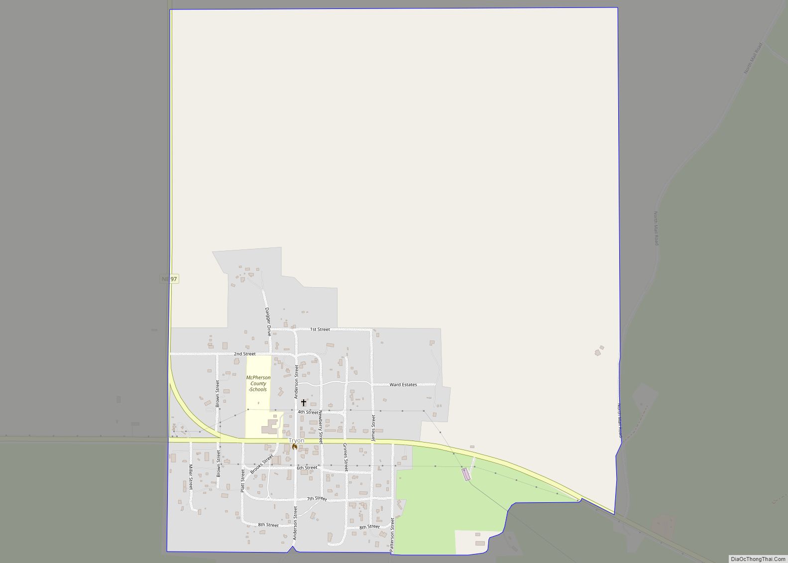
| Seat: | Tryon |
| Total Area: | 860 sq mi (2,200 km²) |
| Land Area: | 859 sq mi (2,220 km²) |
| Total Population: | 399 |
| Population Density: | 0.46/sq mi (0.18/km²) |
| Time zone: | UTC−6 (Central) |
| Summer Time Zone (DST): | UTC−5 (CDT) |
| Website: | www.mcphersoncounty.ne.gov |
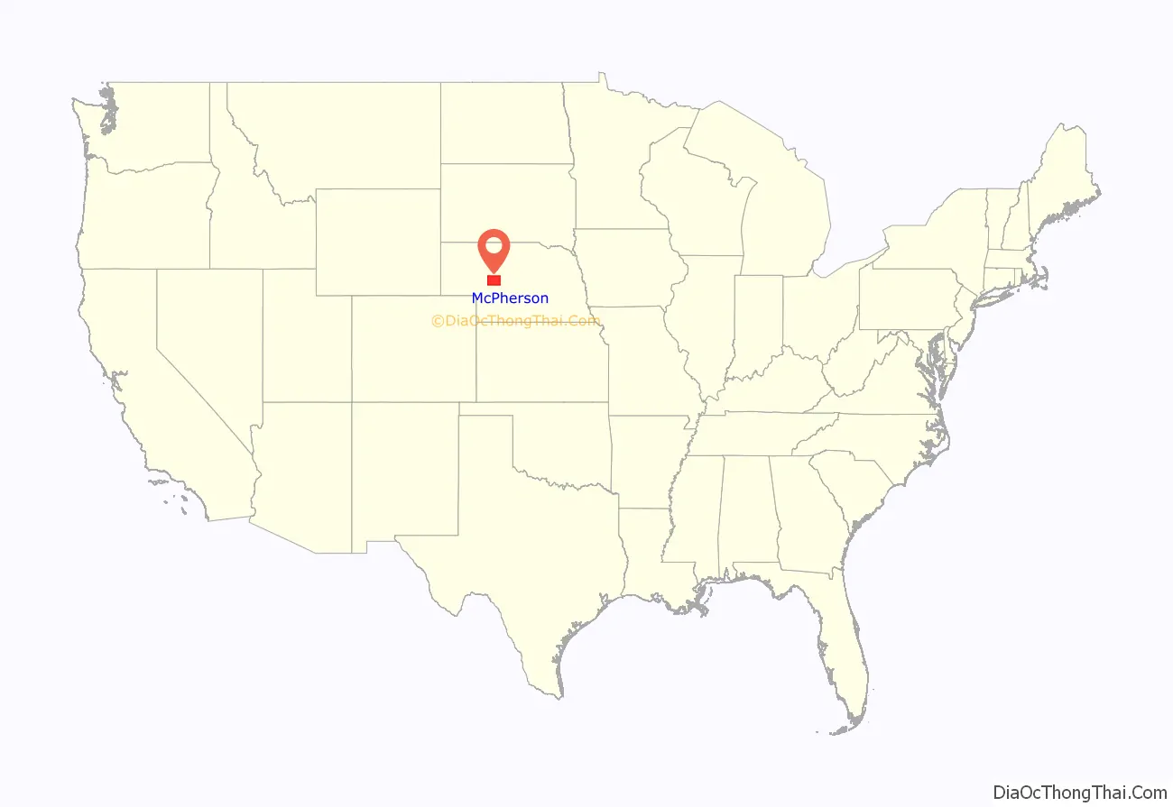
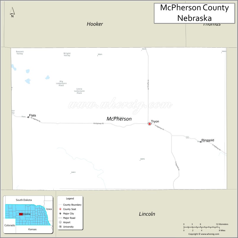
McPherson County location map. Where is McPherson County?
McPherson County Road Map
Geography
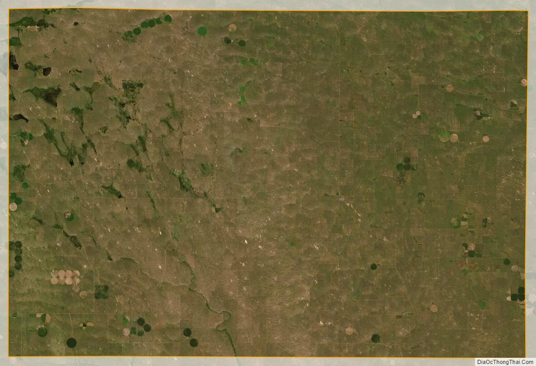
The terrain of McPherson County consists of low rolling hills sloping to the south-southeast. A small portion of the area is under center pivot irrigation. The county has a total area of 860 square miles (2,200 km), of which 859 square miles (2,220 km) is land and 1.0 square mile (2.6 km) (0.1%) is water.
Most of Nebraska’s 93 counties (the eastern 2/3, including McPherson County) observe Central Time; the western counties observe Mountain Time. McPherson County is the westernmost of the Nebraska counties to observe Central Time.
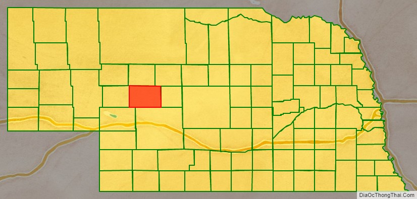
Adjacent counties
- Hooker County – north
- Thomas County – northeast
- Logan County – east
- Lincoln County – southeast
- Keith County – southwest (boundary of Mountain Time)
- Arthur County – west (boundary of Mountain Time)
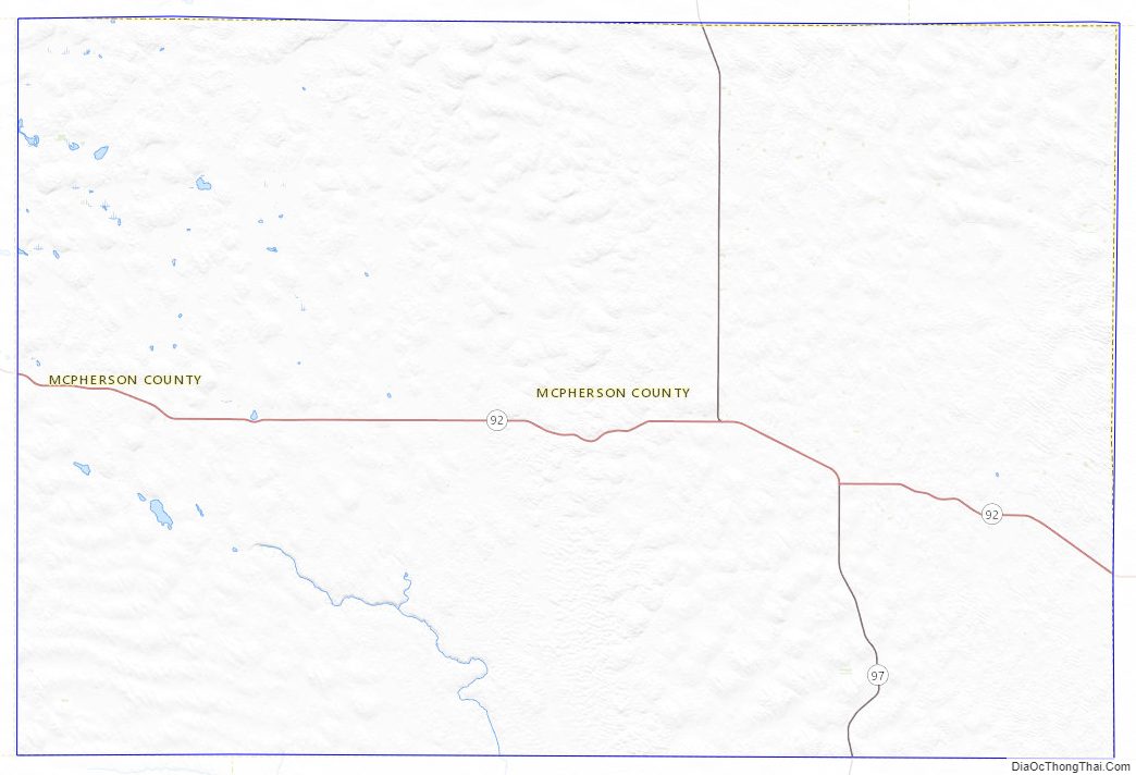
Major highways
- Nebraska Highway 92
- Nebraska Highway 97
McPherson County Topographic Map
McPherson County Satellite Map
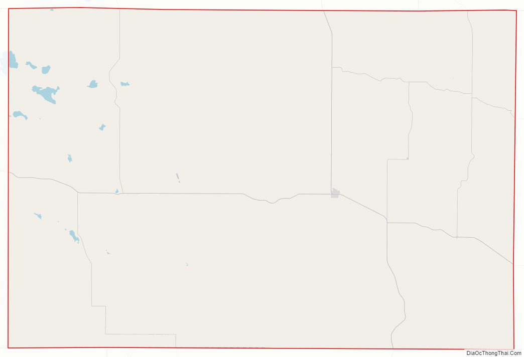
McPherson County Outline Map