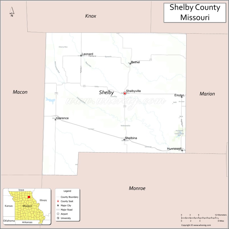
Shelby County is a county located in the northeastern portion of the U.S. state of Missouri. As of the 2020 census, the population was 6,103. Its county seat is Shelbyville. The county was established on January 2, 1835, and named for Governor Isaac Shelby of Kentucky.
| Name: | Shelby County |
|---|---|
| FIPS code: | 29-205 |
| State: | Missouri |
| Founded: | January 2, 1835 |
| Named for: | Isaac Shelby |
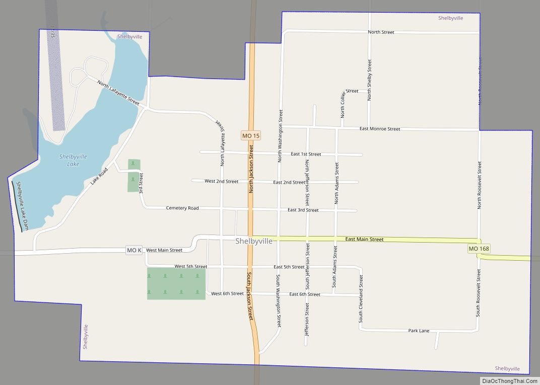
| Seat: | Shelbyville |
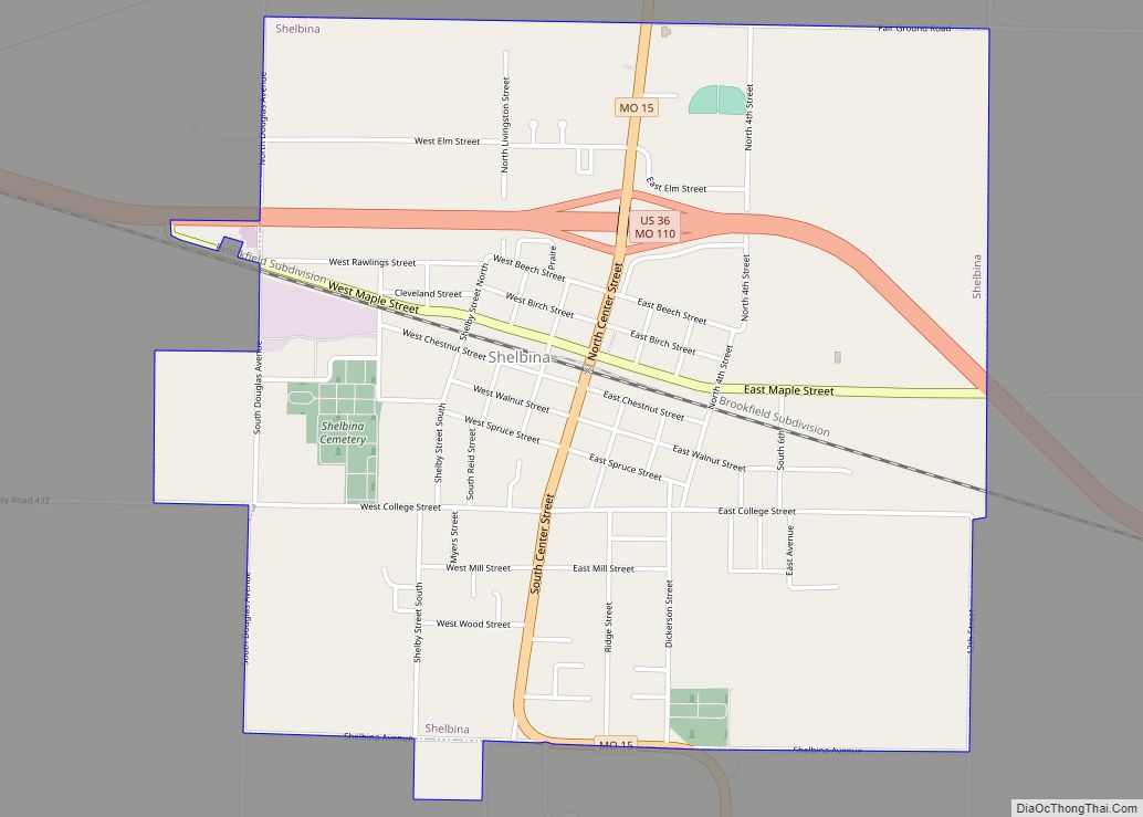
| Largest city: | Shelbina |
| Total Area: | 502 sq mi (1,300 km²) |
| Land Area: | 501 sq mi (1,300 km²) |
| Total Population: | 6,103 |
| Population Density: | 12/sq mi (4.7/km²) |
| Time zone: | UTC−6 (Central) |
| Summer Time Zone (DST): | UTC−5 (CDT) |
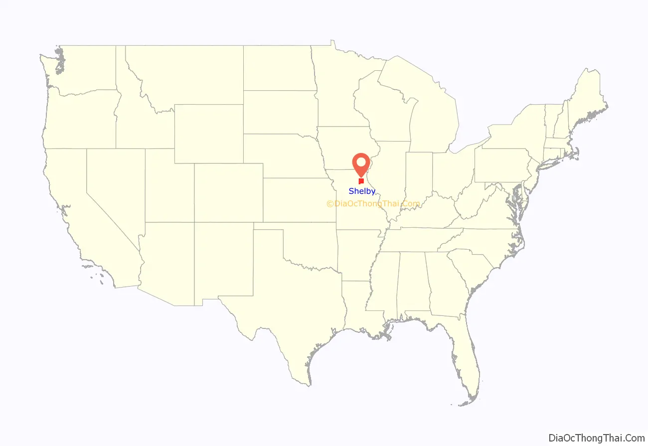
Shelby County location map. Where is Shelby County?
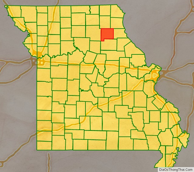
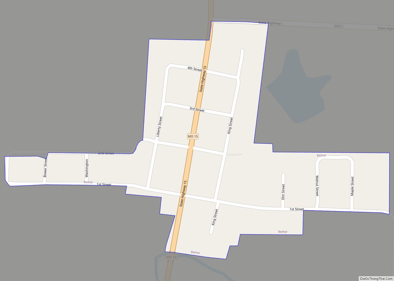
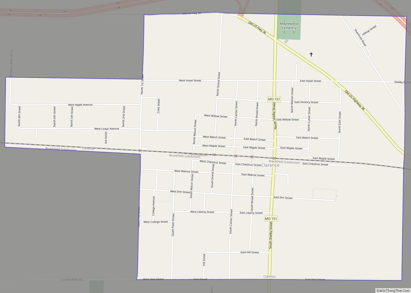
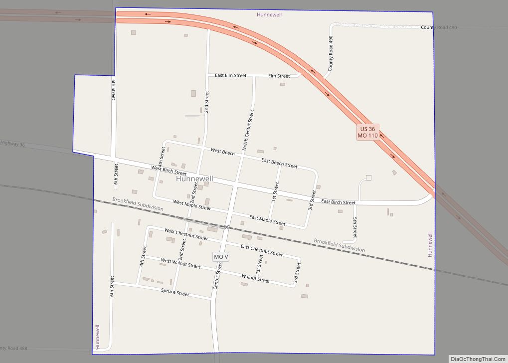
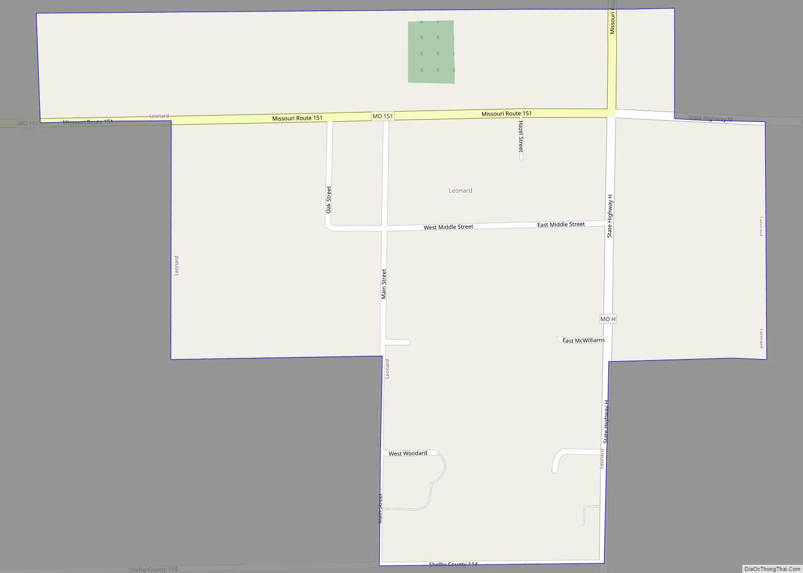
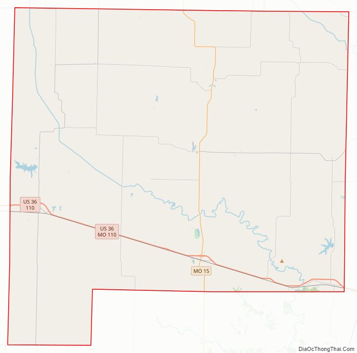
Shelby County Road Map
Geography
According to the U.S. Census Bureau, the county has a total area of 502 square miles (1,300 km), of which 501 square miles (1,300 km) is land and 1.5 square miles (3.9 km) (0.3%) is water.
Adjacent counties
- Knox County (north)
- Lewis County (northeast)
- Marion County (east)
- Monroe County (south)
- Randolph County (southwest)
- Macon County (west)
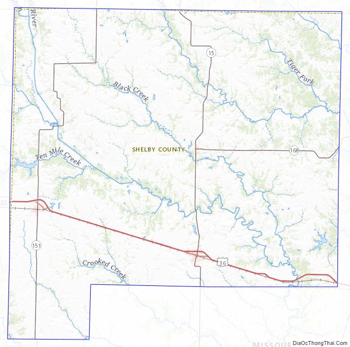
Major highways
- Interstate 72 (Proposed)
- U.S. Route 36
- Route 15
- Route 151
- Route 168
Shelby County Topographic Map
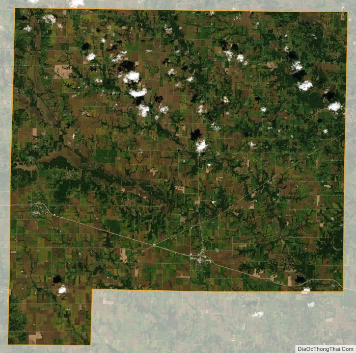
Shelby County Satellite Map
Shelby County Outline Map