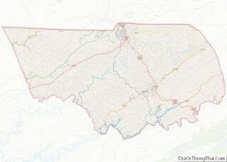
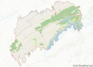
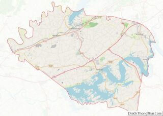
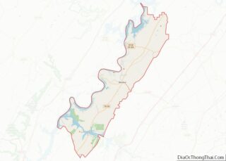
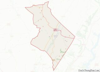
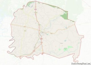
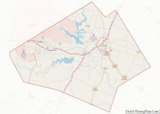
Map of Tioga County

Map of Tioga County, Pennsylvania

Tioga County is a county in the Commonwealth of Pennsylvania. As of the 2020 census, the population was 41,045. Its county seat is Wellsboro. The county was created on March 26, 1804, from part of Lycoming County and later organized in 1812. It is named for the Tioga River. Tioga County overview: Name: Tioga County … Read more

Map of Allendale County

Map of Allendale County, South Carolina

Allendale County is a county located in the U.S. state of South Carolina. As of the 2020 census, the population was 8,039, making it the least populous county in South Carolina. Its county seat is Allendale. Allendale County overview: Name: Allendale County FIPS code: 45-005 State: South Carolina Founded: 1919 Named for: Paul H. Allen, … Read more

Map of Edgefield County

Map of Edgefield County, South Carolina

Edgefield County is a county located on the western border of the U.S. state of South Carolina. As of the 2020 census, its population was 25,657. Its county seat and largest municipality is Edgefield. The county was established on March 12, 1785. The Savannah River makes up part of the western border of Edgefield County; … Read more

Map of McCormick County

Map of McCormick County, South Carolina

McCormick County is a county located in the U.S. state of South Carolina. As of the 2020 census, its population was 9,526, making it the second least-populous county in South Carolina. Its county seat is McCormick. The county was formed in 1916 from parts of Edgefield, Abbeville, and Greenwood Counties. McCormick County overview: Name: McCormick … Read more

Map of Brookings County

Map of Brookings County, South Dakota

Brookings County is a county in the U.S. state of South Dakota. As of the 2020 United States Census, the population was 34,375, making it the fifth-most populous county in South Dakota. Its county seat is Brookings. The county was created in 1862 and organized in 1871. Brookings County comprises the Brookings, SD Micropolitan Statistical … Read more

Map of Douglas County

Map of Douglas County, South Dakota

Douglas County is a county in the U.S. state of South Dakota. As of the 2020 census, the population was 2,835. Its county seat is Armour. The county was established in 1873 and organized in 1882. It is named for Stephen Douglas, Illinois political figure. Douglas County overview: Name: Douglas County FIPS code: 46-043 State: … Read more

Map of Jones County

Map of Jones County, South Dakota

Jones County is a county in the U.S. state of South Dakota. As of the 2020 census, the population was 917, making it the least populous county in South Dakota. Its county seat is Murdo. Created in 1916 and organized in 1917, it is the most recently established county in South Dakota. It was named … Read more

Map of Potter County

Map of Potter County, South Dakota

Potter County is a county in the U.S. state of South Dakota. As of the 2020 census, the population was 2,472. Its county seat is Gettysburg. The county was created in 1873 and organized in 1883. Potter County overview: Name: Potter County FIPS code: 46-107 State: South Dakota Founded: 1875 Named for: Joel A. Potter … Read more

Map of Benton County

Map of Benton County, Tennessee

Benton County is a county located in the U.S. state of Tennessee. As of the 2020 census, the population was 15,864. Its county seat is Camden. The county was created in December 1835 and organized in 1836. Benton County is located in northwest Tennessee, bordering the western branch of the Tennessee River and 30 miles … Read more

Map of Davidson County

Map of Davidson County, Tennessee

Davidson County is a county in the U.S. state of Tennessee. It is located in the heart of Middle Tennessee. As of the 2020 census, the population was 715,884, making it the second most populous county in Tennessee. Its county seat is Nashville, the state capital and largest city. Since 1963, the city of Nashville … Read more

Map of Hardeman County

Map of Hardeman County, Tennessee

Hardeman County is a county located in the U.S. state of Tennessee. As of the 2020 census, the population was 25,462. Its county seat is Bolivar. Hardeman County overview: Name: Hardeman County FIPS code: 47-069 State: Tennessee Founded: 1823 Named for: Thomas J. Hardeman Seat: Bolivar Largest city: Bolivar Total Area: 670 sq mi (1,700 km²) Land Area: … Read more

Map of Lewis County

Map of Lewis County, Tennessee

Lewis County is a county located in the U.S. state of Tennessee. As of the 2020 census, the population was 12,582. Its county seat is Hohenwald. The county is named for explorer Meriwether Lewis, who died and was buried at Grinder’s Stand near Hohenwald in 1809. Lewis County overview: Name: Lewis County FIPS code: 47-101 … Read more