| Name: | Marion County |
|---|---|
| FIPS code: | 41-047 |
| State: | Oregon |
| Founded: | July 5, 1843 |
| Named for: | Francis Marion |
| Seat: | Salem |
| Largest city: | Salem |
| Total Area: | 1,194 sq mi (3,090 km²) |
| Land Area: | 1,184 sq mi (3,070 km²) |
| Total Population: | 345,920 |
| Population Density: | 267/sq mi (103/km²) |
| Time zone: | UTC−8 (Pacific) |
| Summer Time Zone (DST): | UTC−7 (PDT) |
| Website: | www.co.marion.or.us |
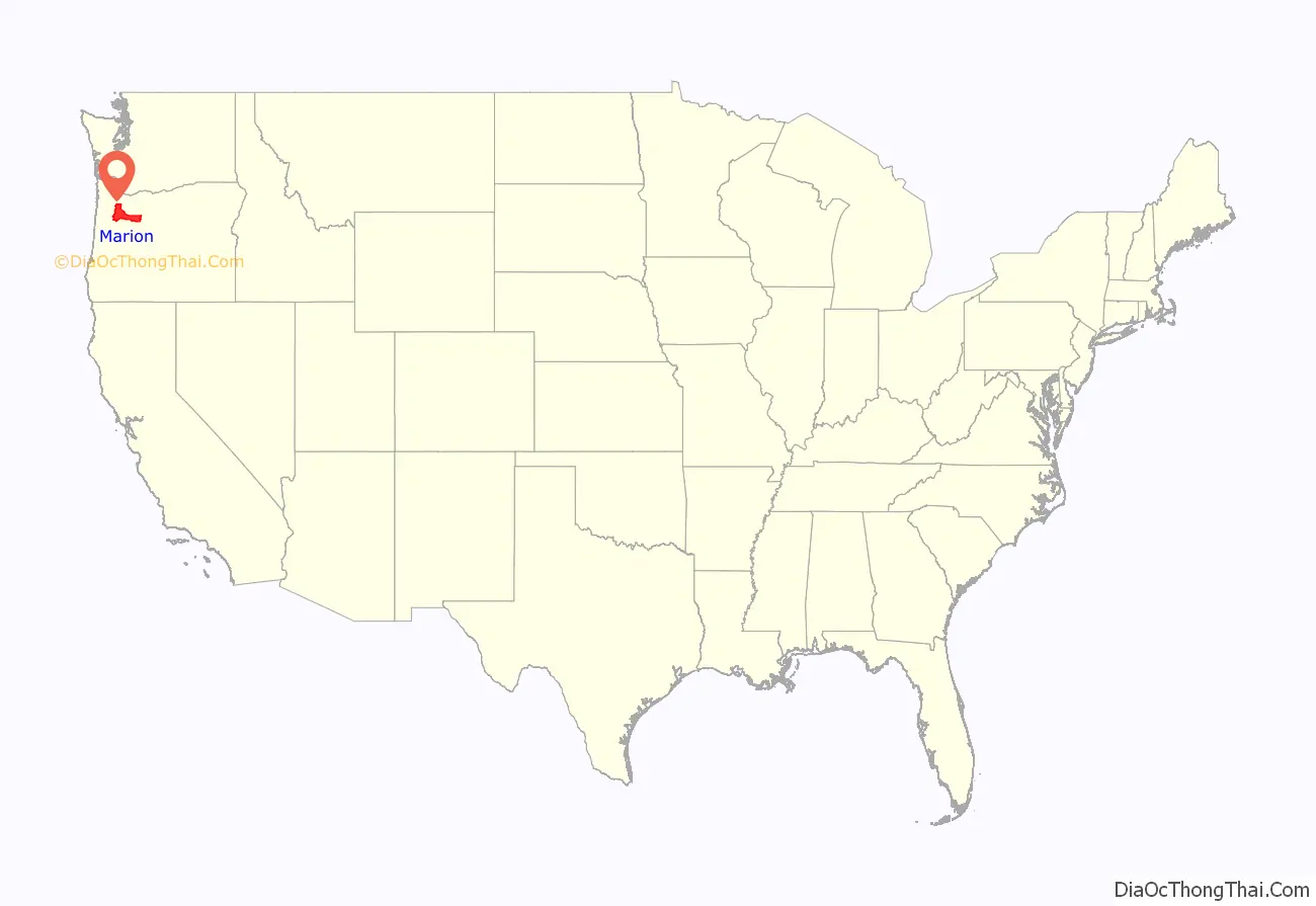
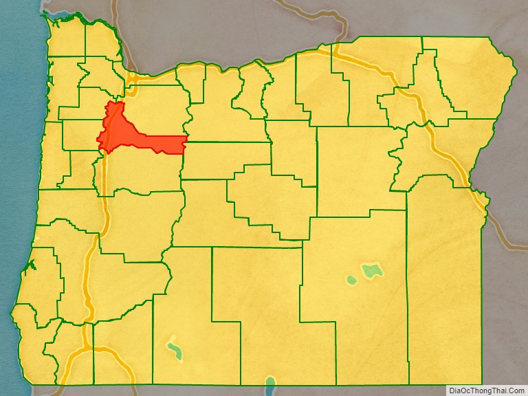
Marion County location map. Where is Marion County?
History
Marion County was created by the Provisional Legislature of Oregon on July 5, 1843, as the Champooick District, one of the original four districts of the Oregon Country along with Twality (later Washington), Clackamas, and Yamhill counties. The four districts were redesignated as counties in 1845.
Originally, this political entity stretched southward to the California border and eastward to the Rocky Mountains. With the creation of Wasco, Linn, Polk, and other counties, its area was reduced in size. Marion County’s present geographical boundaries were established in 1856.
In 1849, Salem was designated the county seat. The territorial capital was moved from Oregon City to Salem in 1852. The ensuing controversy over the location of the capital was settled in 1864 when Salem was confirmed as the state capital.
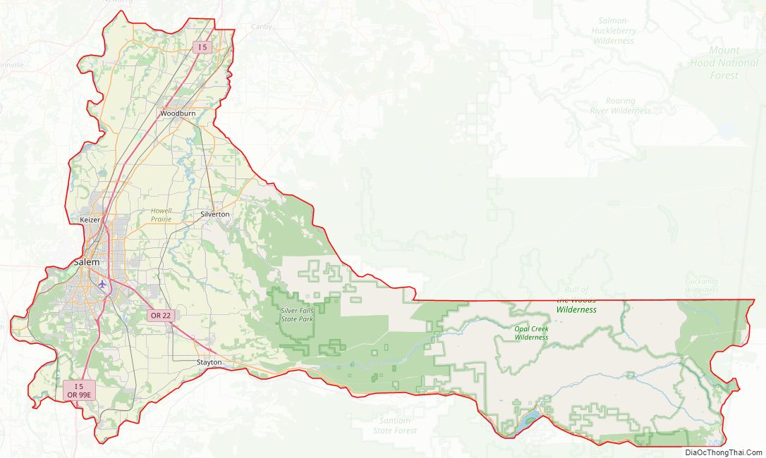
Marion County Road Map
Geography
According to the United States Census Bureau, the county has a total area of 1,193 square miles (3,090 km), of which 1,182 square miles (3,060 km) is land and 10 square miles (26 km) (0.9%) is water.
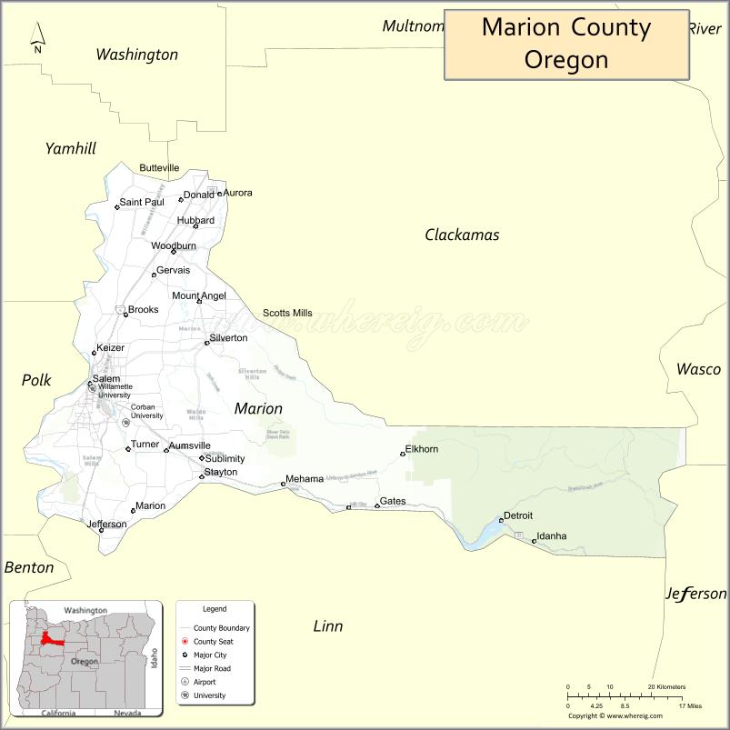
Adjacent counties
- Yamhill County (northwest)
- Clackamas County (north)
- Wasco County (northeast)
- Jefferson County (east)
- Linn County (south)
- Polk County (west)
National protected areas
- Ankeny National Wildlife Refuge
- Mount Hood National Forest (part)
- Willamette National Forest (part)
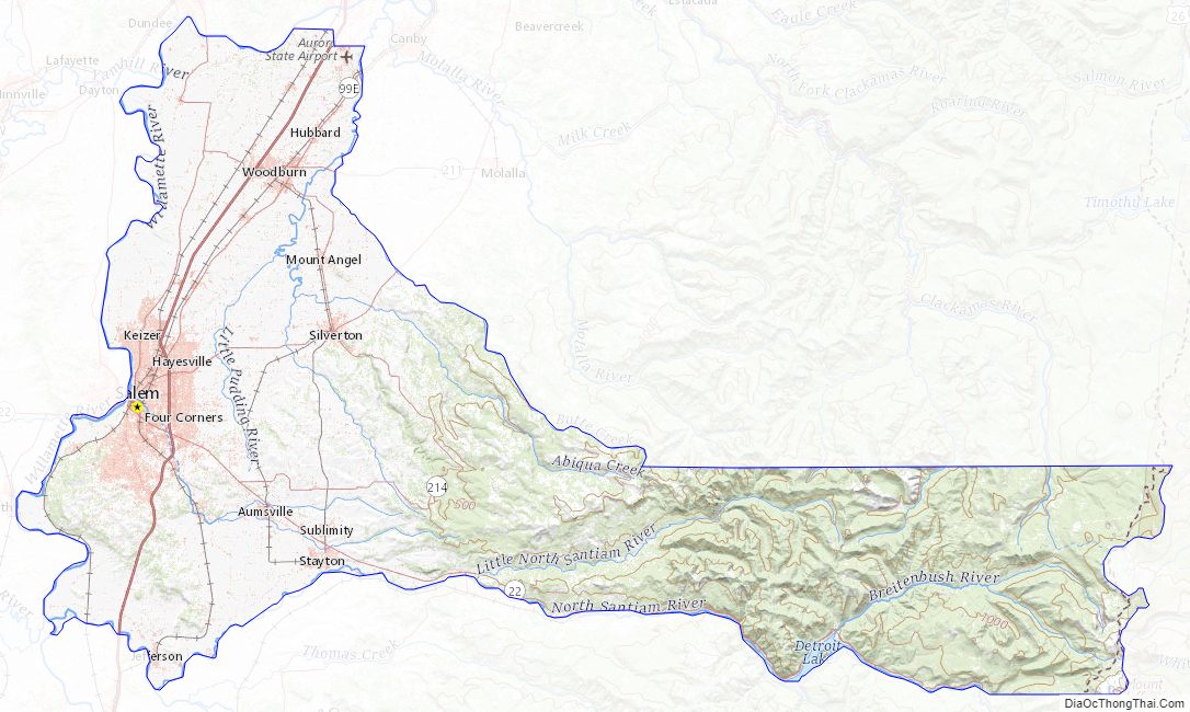
Marion County Topographic Map
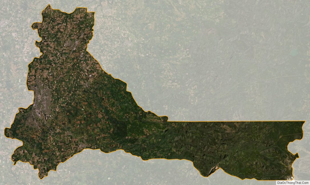
Marion County Satellite Map
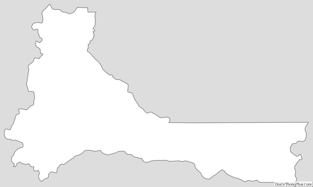
Marion County Outline Map