Beaver County is a county in the Commonwealth of Pennsylvania. As of the 2020 census, the population was 168,215. Its county seat is Beaver, and its largest city is Aliquippa. The county was created on March 12, 1800, from parts of Allegheny and Washington counties. It took its name from the Beaver River.
Beaver County is part of the Pittsburgh, PA Metropolitan Statistical Area.
| Name: | Beaver County |
|---|---|
| FIPS code: | 42-007 |
| State: | Pennsylvania |
| Founded: | March 12, 1800 |
| Named for: | Beaver River |
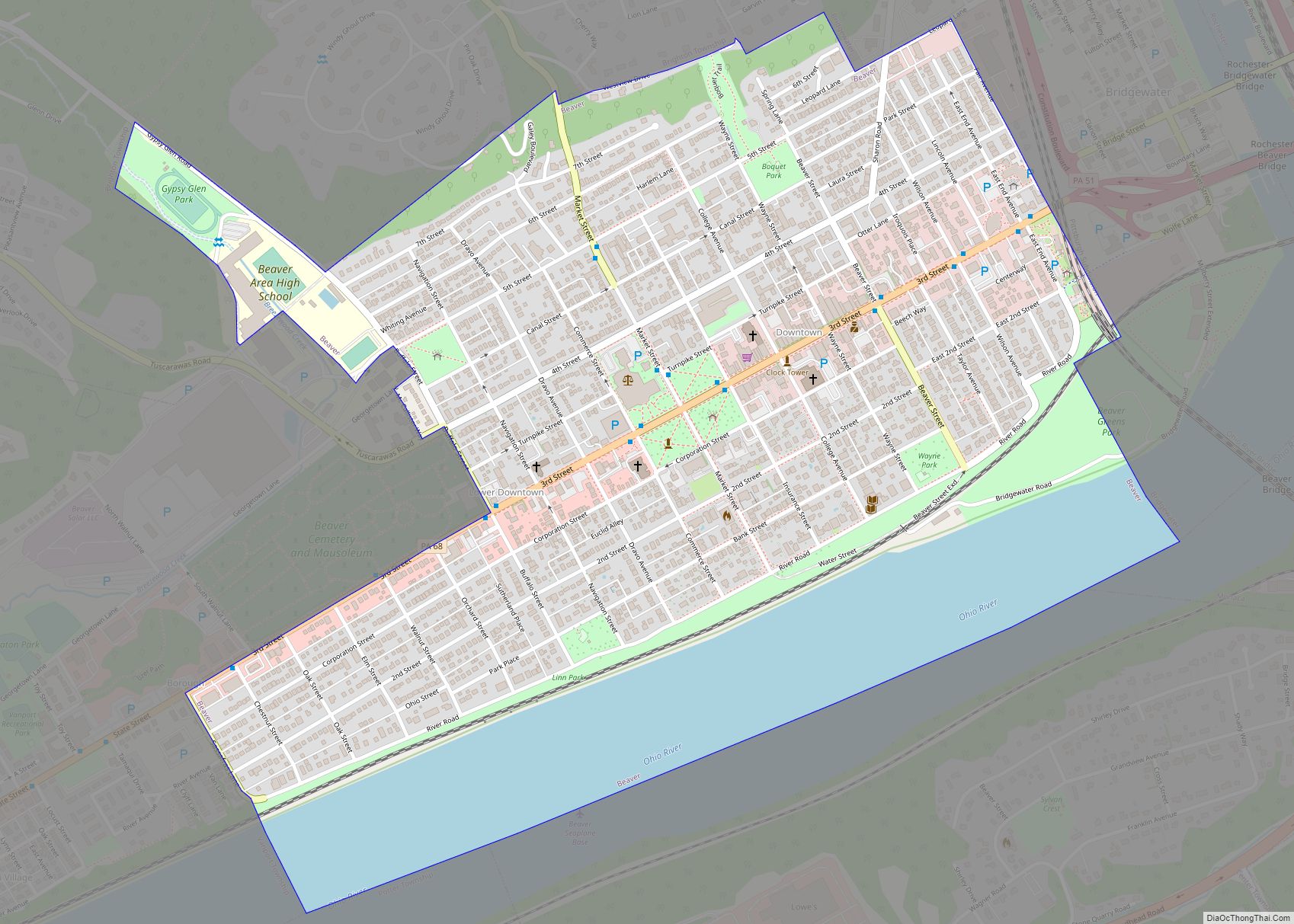
| Seat: | Beaver |
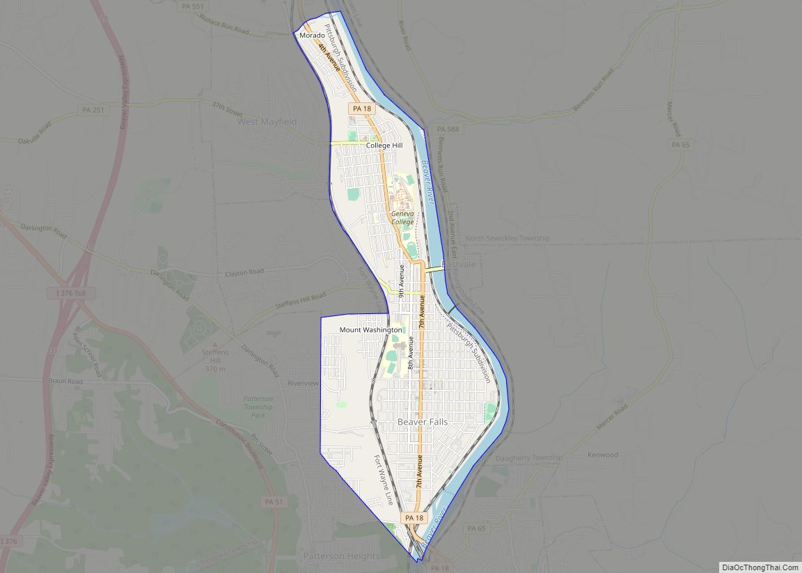
| Largest city: | Aliquippa |
| Total Area: | 444 sq mi (1,150 km²) |
| Land Area: | 435 sq mi (1,130 km²) |
| Total Population: | 168,215 |
| Population Density: | 387/sq mi (149/km²) |
| Time zone: | UTC−5 (Eastern) |
| Summer Time Zone (DST): | UTC−4 (EDT) |
| Website: | www.beavercountypa.gov |
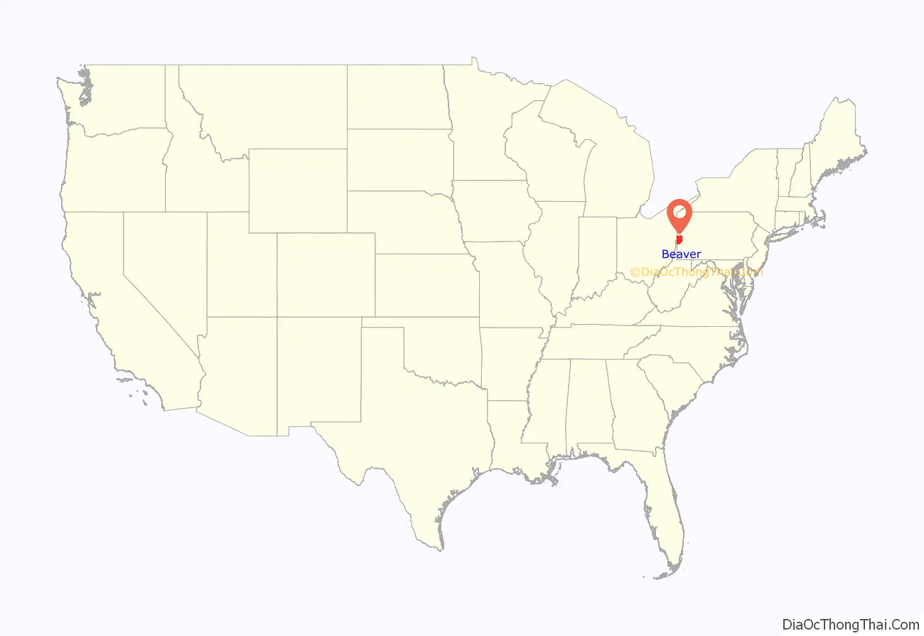
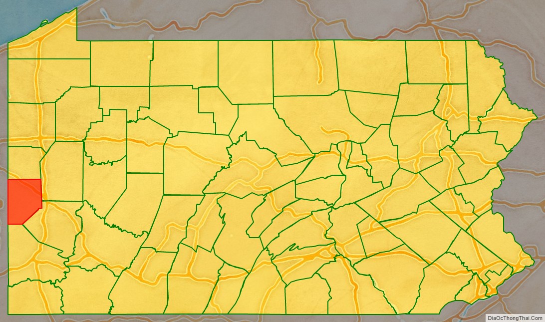
Beaver County location map. Where is Beaver County?
History
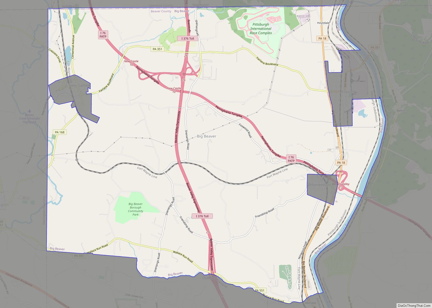
The original townships at the date of the erection of Beaver County (1800) were North Beaver, east and west of the Big Beaver Creek; South Beaver, west of the Big Beaver; and Sewickley, east of the Big Beaver—all north of the Ohio River; and Hanover, First Moon, and Second Moon, south of the Ohio.
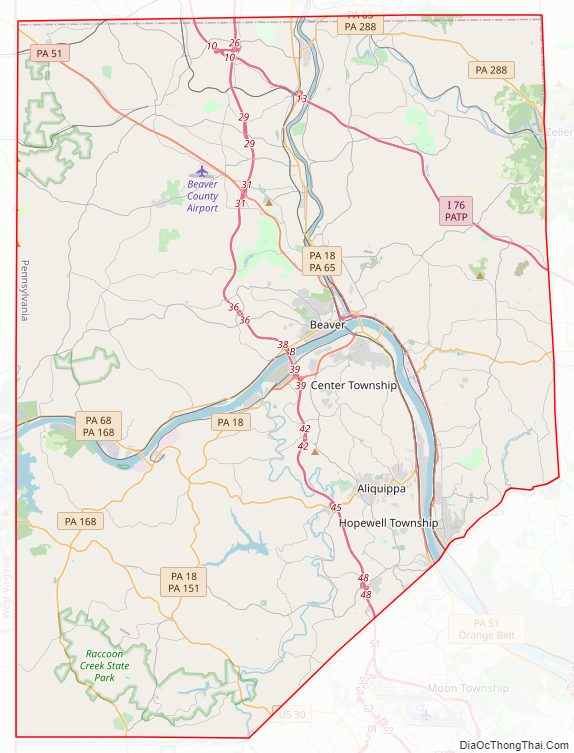
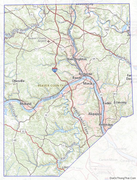
Beaver County Road Map
Geography
According to the U.S. Census Bureau, the county has a total area of 444 square miles (1,150 km), of which 435 square miles (1,130 km) is land and 9.3 square miles (24 km) (2.1%) is water. It has a humid continental climate (Dfa/Dfb) and average monthly temperatures in the Beaver/Rochester vicinity range from 29.4 °F in January to 73.2 °F in July.
Bodies of water
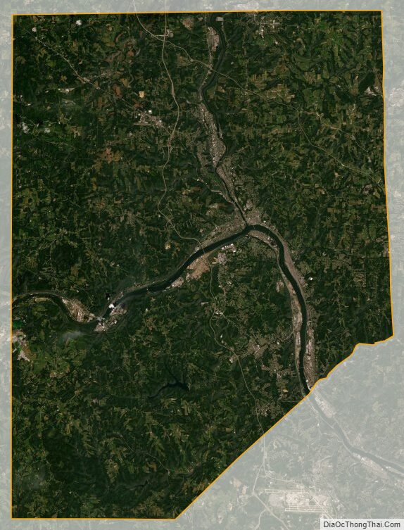
- The Ohio River flows north through Beaver County from a point near Ambridge, then turns west near Beaver and on to the Ohio and West Virginia borders. It divides the southern third of the county from the northern two-thirds.
- The Beaver River flows south from Lawrence County entering Beaver County near Koppel and continuing south to its confluence with the Ohio near Beaver.
Adjacent counties
- Lawrence County (north)
- Butler County (east)
- Allegheny County (southeast)
- Washington County (south)
- Hancock County, West Virginia (west)
- Columbiana County, Ohio (west)
Protected areas
- Ohio River Islands National Wildlife Refuge (part)
- Raccoon Creek State Park, a Pennsylvania state park
- Bradys Run Park
- Brush Creek Park
- Old Economy Park
Beaver County Topographic Map
Beaver County Satellite Map
Beaver County Outline Map