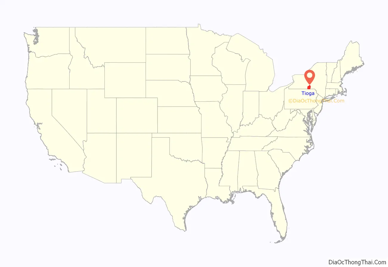
Tioga County /taɪˈoʊɡə/ is a county in the U.S. state of New York. As of the 2020 census, the population was 48,455. Its county seat is Owego. Its name derives from an American Indian word meaning “at the forks”, describing a meeting place.
Tioga County is part of the Binghamton, NY Metropolitan Statistical Area.
| Name: | Tioga County |
|---|---|
| FIPS code: | 36-107 |
| State: | New York |
| Founded: | 1791 |
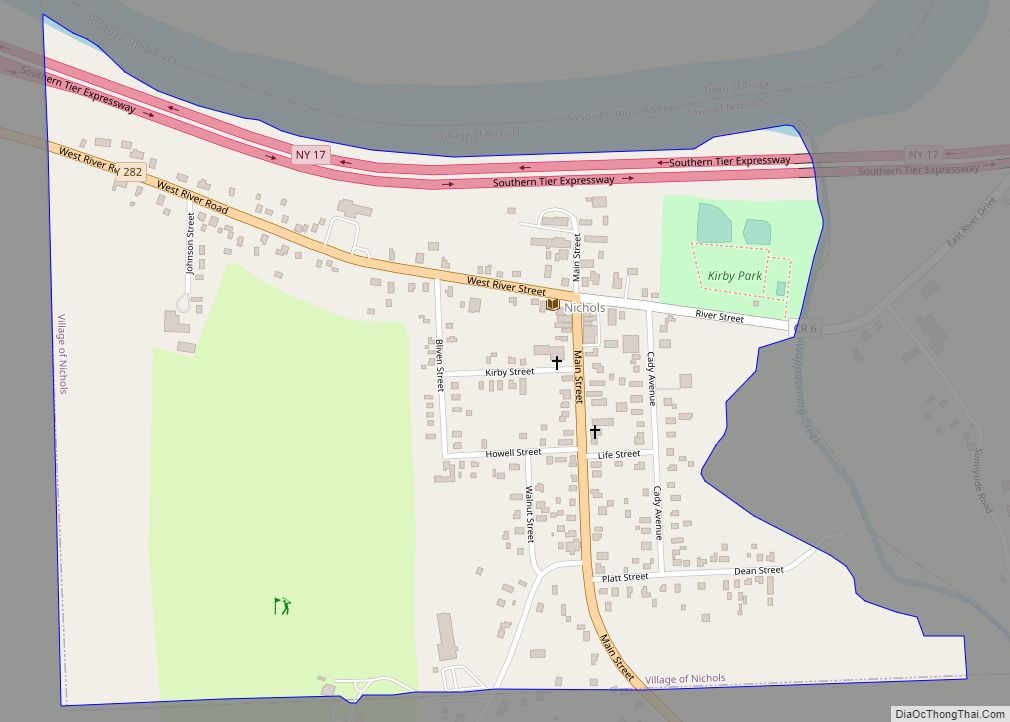
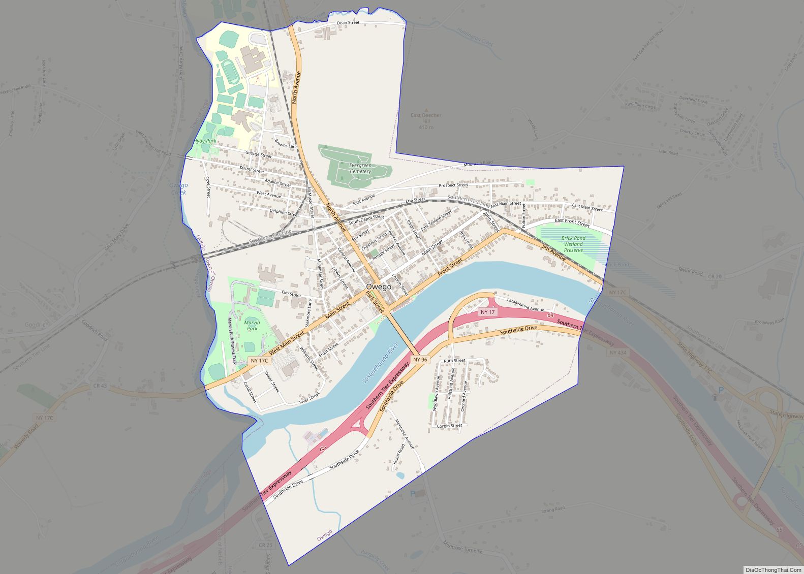
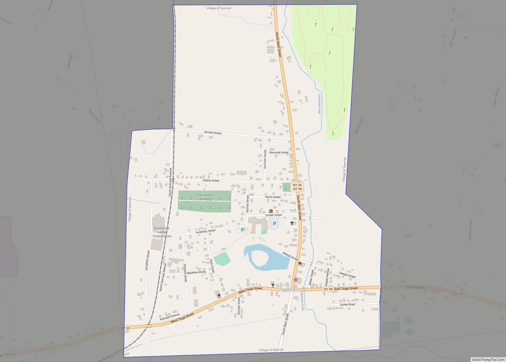
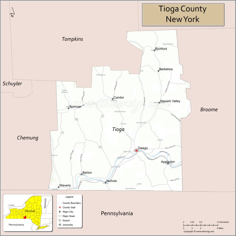
| Seat: | Owego |
| Total Area: | 523 sq mi (1,350 km²) |
| Land Area: | 519 sq mi (1,340 km²) |
| Total Population: | 48,455 |
| Population Density: | 93.4/sq mi (36.1/km²) |
| Time zone: | UTC−5 (Eastern) |
| Summer Time Zone (DST): | UTC−4 (EDT) |
| Website: | www.tiogacountyny.com |
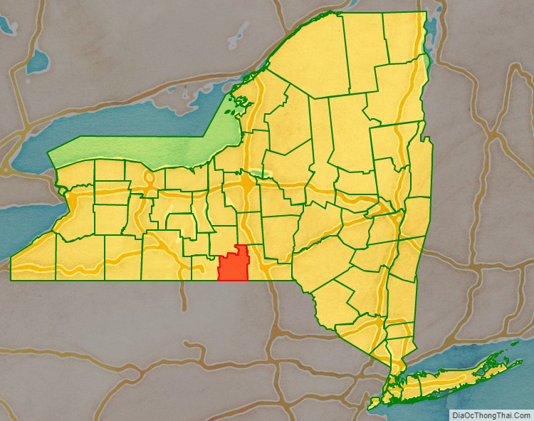
Tioga County location map. Where is Tioga County?
History
In 1789, Montgomery County was reduced in size by the splitting-off of Ontario County. The actual area split off from Montgomery County was much larger than the present county, also including the present Allegany, Cattaraugus, Chautauqua, Erie, Genesee, Livingston, Monroe, Niagara, Orleans, Steuben, Wyoming, Yates, and part of Schuyler and Wayne counties.
Tioga County was one of three counties split off from Montgomery County (the others being Herkimer and Otsego Counties) in 1791. Tioga County was at this time much larger than the present county, also including the present Broome and Chemung counties and parts of Chenango and Schuyler counties.
Tioga County was reduced in size in 1798 by the splitting-off of Chemung County (which also included part of the present Schuyler County and by the combination of a portion with a portion of Herkimer County to create Chenango County. In 1806 it was further reduced by the splitting-off of Broome County.
Tioga County Road Map

Geography
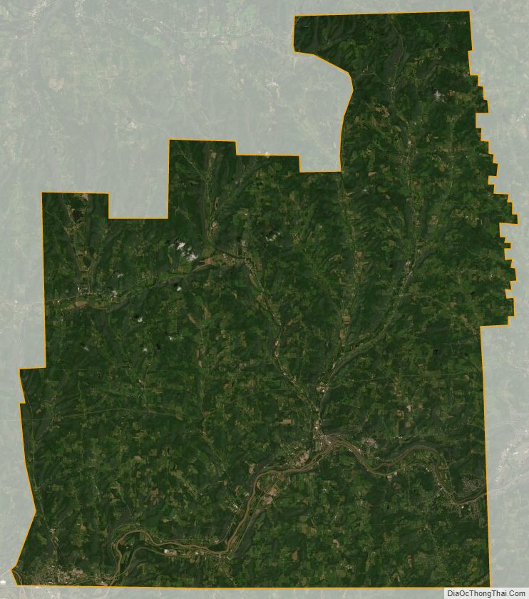
According to the U.S. Census Bureau, the county has a total area of 523 square miles (1,350 km), of which 519 square miles (1,340 km) is land and 4.3 square miles (11 km) (0.8%) is water.
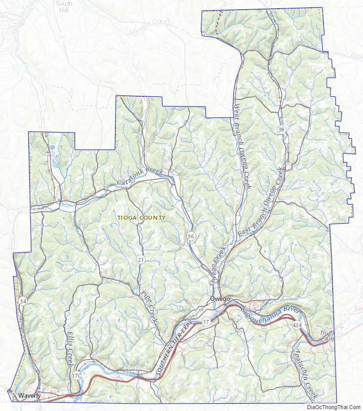
Tioga County is in southwest New York State, west of Binghamton and directly north of the border with Pennsylvania. The Susquehanna River flows into Pennsylvania from this county. The county is considered part of the Southern Tier region of New York State.
The highest elevation is an unnamed 1,994-foot (608 m) hill in the county’s northern corner. The lowest is 720 feet (220 m) on the state line where the Susquehanna flows into Pennsylvania.
Adjacent counties
- Cortland County – northeast
- Broome County – east
- Susquehanna County, Pennsylvania – southeast
- Bradford County, Pennsylvania – south
- Chemung County – west
- Tompkins County – northwest
Major highways
- I-86 / NY 17 / Southern Tier Expressway
- US 220
- New York State Route 17C
- New York State Route 38
- New York State Route 96
- New York State Route 96B
Tioga County Topographic Map
Tioga County Satellite Map
Tioga County Outline Map