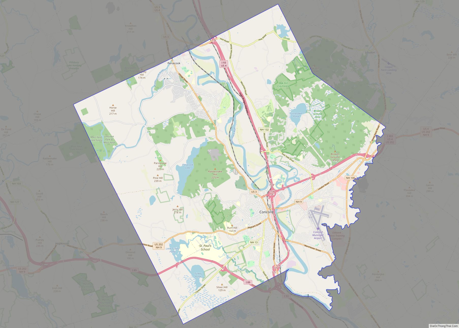
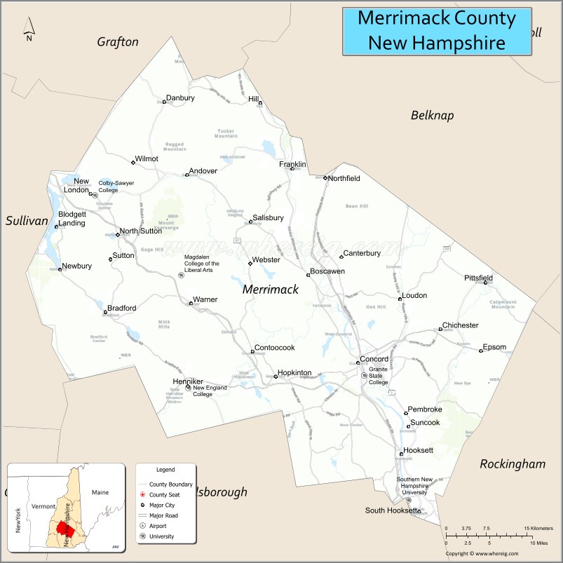
Merrimack County is a county in the U.S. state of New Hampshire. As of the 2020 Census, the population was 153,808, making it the third-most populous county in New Hampshire. Its county seat is Concord, the state capital. The county was organized in 1823 from parts of Hillsborough and Rockingham counties, and is named for the Merrimack River. Merrimack County comprises the Concord, NH Micropolitan Statistical Area, which in turn constitutes a portion of the Boston–Worcester–Providence, MA–RI–NH–CT Combined Statistical Area. In 2010, the center of population of New Hampshire was located in Merrimack County, in the town of Pembroke.
| Name: | Merrimack County |
|---|---|
| FIPS code: | 33-013 |
| State: | New Hampshire |
| Founded: | 1823 |
| Named for: | Merrimack River |
| Seat: | Concord |
| Largest city: | Concord |
| Total Area: | 955.0 sq mi (2,473 km²) |
| Land Area: | 932.9 sq mi (2,416 km²) |
| Total Population: | 153,808 |
| Population Density: | 164.9/sq mi (63.7/km²) |
| Time zone: | UTC−5 (Eastern) |
| Summer Time Zone (DST): | UTC−4 (EDT) |
| Website: | www.merrimackcounty.net |
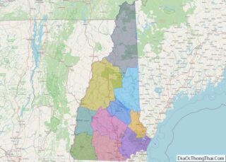
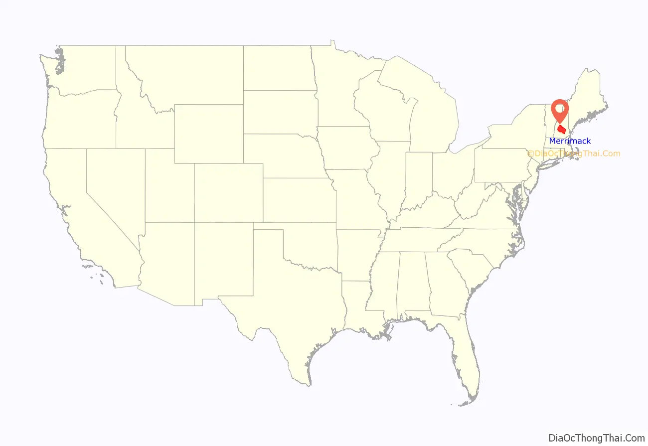
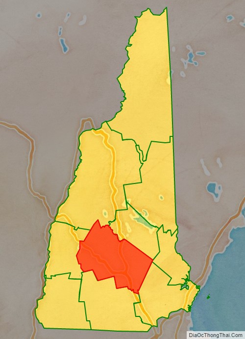
Merrimack County location map. Where is Merrimack County?
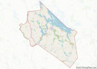
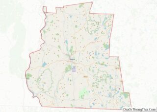
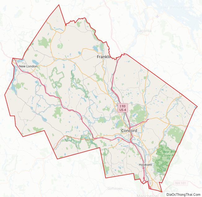
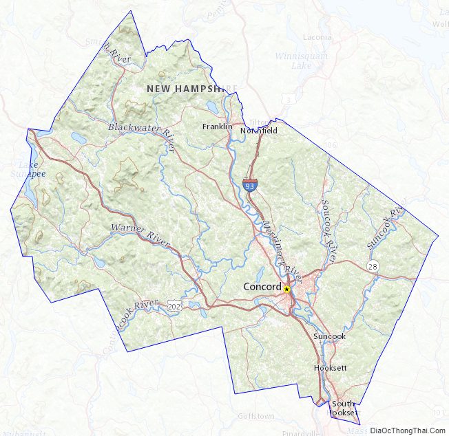
Merrimack County Road Map
Geography
According to the U.S. Census Bureau, the county has a total area of 956 square miles (2,480 km), of which 934 square miles (2,420 km) is land and 22 square miles (57 km) (2.3%) is water. It is the third-largest county in New Hampshire by land area. The highest point in Merrimack county is Mount Kearsarge, on the border of Warner and Wilmot, at 2,937 feet (895 m).
Adjacent counties
- Belknap County (northeast)
- Strafford County (east)
- Rockingham County (southeast)
- Hillsborough County (south)
- Sullivan County (west)
- Grafton County (northwest)
National protected area
- John Hay National Wildlife Refuge
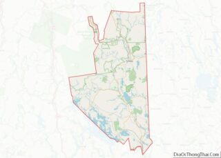
Merrimack County Topographic Map
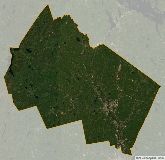
Merrimack County Satellite Map
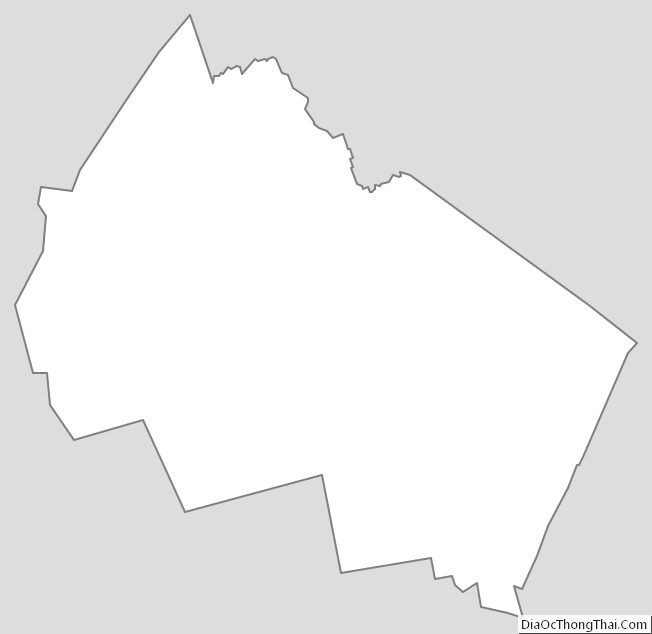
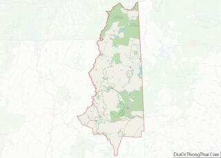
Merrimack County Outline Map