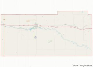
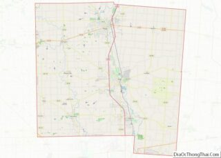
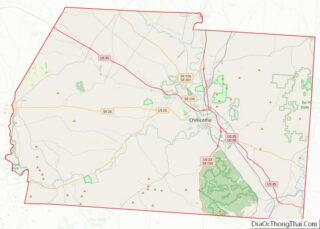
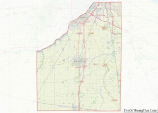
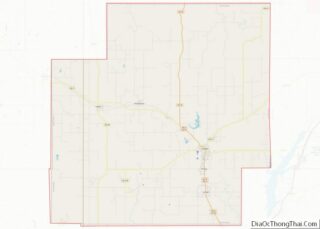
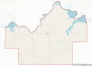
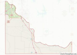
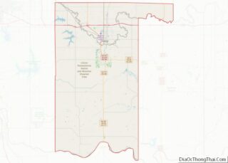
Map of Kenton County, Kentucky
Kenton County is a county located in the northern part of the Commonwealth of Kentucky. As of the 2020 census, the population was 169,064, making it the third most populous county in Kentucky (behind Jefferson County and Fayette County). Its county seats are Covington and Independence. It was, until November 24, 2010, the only county ... Read more
Map of Kenton County, Kentucky
Map of Marion County, Kentucky
Marion County is a county in the U.S. state of Kentucky. As of the 2020 census, the total population was 19,581. Its county seat is Lebanon. The county was founded in 1834 and named for Francis Marion, the American Revolutionary War hero known as the “Swamp Fox”. Marion County overview: Name: Marion County FIPS code: ... Read more
Map of Marion County, Kentucky
Map of Nicholas County, Kentucky
Nicholas County is a county located in the U.S. state of Kentucky. As of the 2020 census, the population was 7,537. Its county seat is Carlisle, which is also the only incorporated community in the county. Founded in 1799, the county is named for Col. George Nicholas, the “Father of the Kentucky Constitution.” Nicholas County ... Read more
Map of Nicholas County, Kentucky
Map of Simpson County, Kentucky
Simpson County is a county located in the south central portion of the U.S. state of Kentucky. As of the 2020 census, the total population was 19,594. Its county seat is Franklin. Simpson County overview: Name: Simpson County FIPS code: 21-213 State: Kentucky Founded: 1819 Named for: John Simpson Seat: Franklin Largest city: Franklin Total ... Read more
Map of Simpson County, Kentucky
Map of Ascension Parish, Louisiana
Ascension Parish (French: Paroisse de l’Ascension, Spanish: Parroquia de Ascensión) is a parish located in the U.S. state of Louisiana. As of the 2020 census, the population was 126,500. Its parish seat is Donaldsonville. The parish was created in 1807. Ascension Parish is part of the Baton Rouge metropolitan statistical area. Ascension Parish is one ... Read more
Map of Ascension Parish, Louisiana
Map of East Feliciana Parish, Louisiana
East Feliciana Parish (French: Paroisse de Feliciana Est, Spanish: Parroquia de Feliciana Oriental) is a parish located in the U.S. state of Louisiana. At the 2020 census, the population was 19,531. The parish seat is Clinton. Established when Feliciana Parish was divided in 1824, both East and West Feliciana parishes are part of the Baton ... Read more
Map of East Feliciana Parish, Louisiana
Map of Natchitoches Parish, Louisiana
Natchitoches Parish overview: Name: Natchitoches Parish FIPS code: 22-069 State: Louisiana Founded: April 10, 1805 Named for: Natchitoches people Seat: Natchitoches Total Area: 3,360 km² (1,299 sq mi) Land Area: 3,240 km² (1,252 sq mi) Total Population: 37,515 Population Density: 11/km² (29/sq mi) Time zone: UTC-6 (CST) Summer Time Zone (DST): UTC-5 (CDT) Website: Natchitoches Parish Government Natchitoches Parish location map. Where ... Read more
Map of Natchitoches Parish, Louisiana
Map of St. Mary Parish, Louisiana
St. Mary Parish (French: Paroisse de Sainte-Marie) is a parish located in the U.S. state of Louisiana. As of the 2020 census, the population was 49,406. The parish seat is Franklin. The parish was created in 1811. St. Mary Parish comprises the Morgan City, LA Micropolitan Statistical Area, which is also included in the Lafayette–Opelousas-Morgan ... Read more
Map of St. Mary Parish, Louisiana
Map of Cumberland County, Maine
Cumberland County is a county in the U.S. state of Maine. As of the 2020 census, the population was 303,069, making it the most populous county in Maine. Its county seat is Portland. Cumberland County was founded in 1760 from a portion of York County, Province of Massachusetts Bay, and named for William, Duke of ... Read more
Map of Cumberland County, Maine
Map of Baltimore County, Maryland
Baltimore County (/ˈbɔːltɪmɔːr/ BAWL-tim-or, locally: /bɔːldəˈmɔːr/ bawl-da-MOR or /ˈbɔːlmər/ BAWL-mər) is the third-most populous county in the U.S. state of Maryland and is part of the Baltimore metropolitan area. Baltimore County (which partially surrounds, though does not include, the independent City of Baltimore) is part of the Northeast megalopolis, which stretches from Northern Virginia northward ... Read more
Map of Baltimore County, Maryland
Map of Somerset County, Maryland
Somerset County is the southernmost county in the U.S. state of Maryland. As of the 2020 census, the population was 24,620, making it the second-least populous county in Maryland. The county seat is Princess Anne. The county was named for Mary, Lady Somerset, the wife of Sir John Somerset and daughter of Thomas Arundell, 1st ... Read more
Map of Somerset County, Maryland
Map of Plymouth County, Massachusetts
Plymouth County overview: Name: Plymouth County FIPS code: 25-023 State: Massachusetts Founded: 2 June 1685 Seat: Plymouth and Brockton Largest city: Brockton Total Area: 1,093 sq mi (2,830 km²) Land Area: 659 sq mi (1,710 km²) Total Population: 530,819 Population Density: 806.1/sq mi (311.2/km²) Time zone: UTC−5 (Eastern) Summer Time Zone (DST): UTC−4 (EDT) Website: www.plymouthcountyma.gov Plymouth County location map. Where is ... Read more
Map of Plymouth County, Massachusetts