Pender County is a county located in the U.S. state of North Carolina. As of the 2020 census, the population was 60,203. Its county seat is Burgaw. Pender County is part of the Wilmington, NC Metropolitan Statistical Area.
| Name: | Pender County |
|---|---|
| FIPS code: | 37-141 |
| State: | North Carolina |
| Founded: | 1875 |
| Named for: | William Dorsey Pender |
| Seat: | Burgaw |
| Total Area: | 933 sq mi (2,420 km²) |
| Land Area: | 870 sq mi (2,300 km²) |
| Total Population: | 62,815 |
| Population Density: | 72.2/sq mi (27.9/km²) |
| Time zone: | UTC−5 (Eastern) |
| Summer Time Zone (DST): | UTC−4 (EDT) |
| Website: | www.pendercountync.gov |
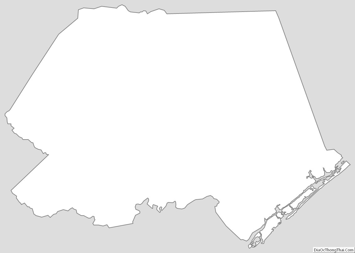
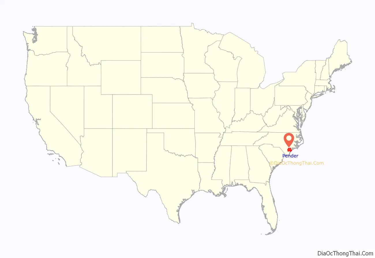
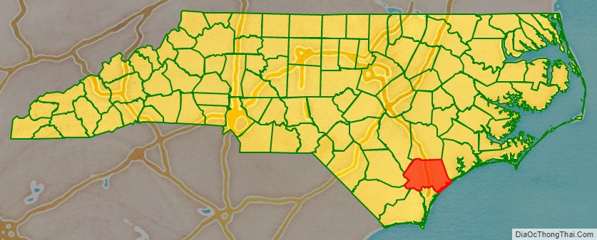
Pender County location map. Where is Pender County?
History
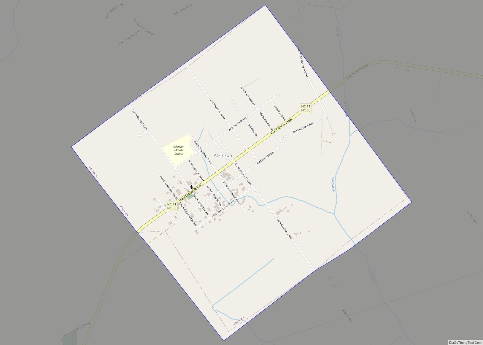
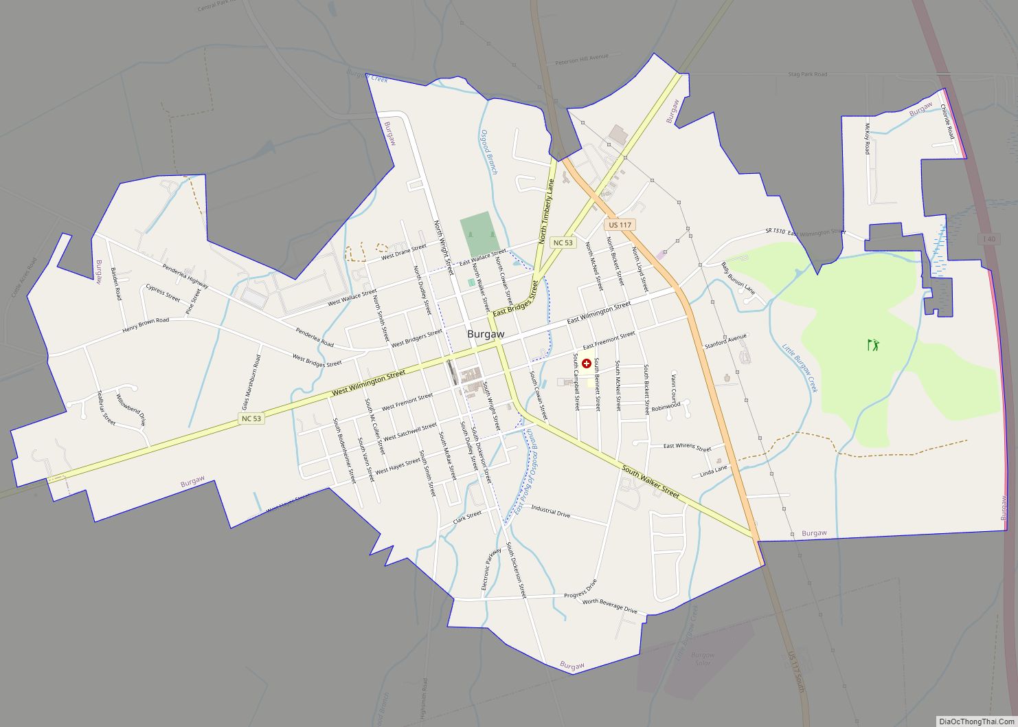
The county was formed in 1875 from New Hanover County. It was named for William Dorsey Pender of Edgecombe County, a Confederate general mortally wounded at the Battle of Gettysburg. It is in the southeastern section of the state and is bounded by the Atlantic Ocean and New Hanover, Brunswick, Columbus, Bladen, Sampson, Duplin, and Onslow counties. The present land area is 870.76 square miles (2,255.3 km) and the 2010 population was 52,196, which has nearly doubled since 1990. The estimated county population in 2019 had increased to 63,060. The county commissioners were ordered to hold their first meeting at Rocky Point. The act provided for the establishment of the town of Cowan as the county seat. In 1877, an act was passed repealing that section of the law relative to the town, and another law was enacted, whereby the qualified voters were to vote on the question of moving the county seat to South Washington or any other place which the majority of the voters designated. Whatever place was selected, the town should be called Stanford. In 1879, Stanford was changed to Burgaw, which was by that law incorporated. It is the county seat. A slave cemetery that was used by the community of Cardinal Acres up until circa 1950 was disturbed by a developer grading a site in 2021.
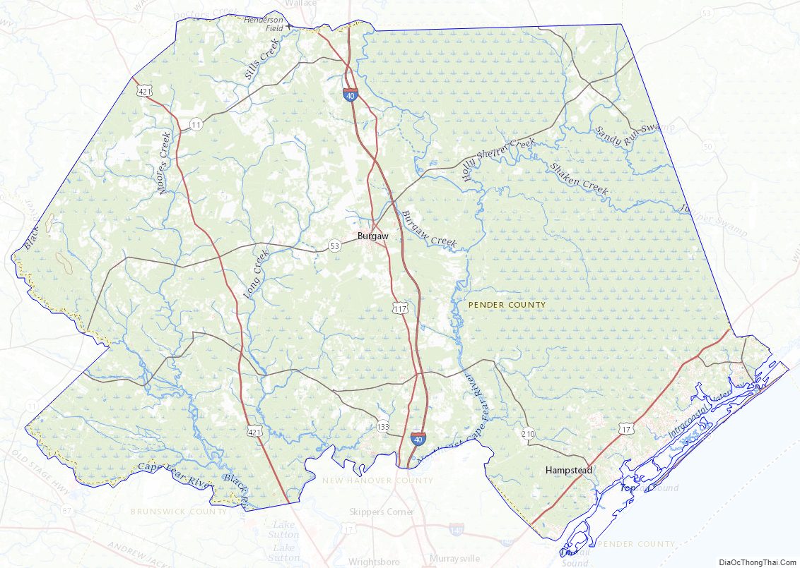
Pender County Road Map
Geography
According to the U.S. Census Bureau, the county has a total area of 933 square miles (2,420 km), of which 870 square miles (2,300 km) is land and 63 square miles (160 km) (6.8%) is water. It is the fifth-largest county in North Carolina by land area.
National protected area
- Moores Creek National Battlefield
State and local protected areas
- Angola Bay Game Land (part)
- Bellhammon Tract (part)
- Canetuck Tract
- Holly Shelter Game Land (part)
- Lea-Hutaff Island State Natural Area
- Sandy Run Savannas State Natural Area (part)
Major water bodies
- Atlantic Ocean
- Black River, home of the oldest documented Taxodium distichum (bald cypress) at 2,648 years old, located in Bladen County
- Cape Fear River
- Doctor’s Creek
- Intracoastal Waterway
- Northeast Cape Fear River
- Onslow Bay
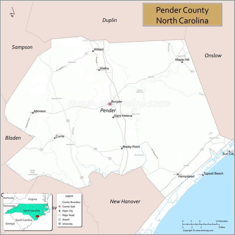
Adjacent counties
- Duplin County — north
- Onslow County — northeast
- New Hanover County — south
- Brunswick County — south
- Columbus County — southwest
- Bladen County — west
- Sampson County — northwest
Major highways
- I-40
- US 17
- US 17 Byp. (To be the Military Cutoff Extension and the Hampstead Bypass starting in New Hanover County)
- US 117
- US 421
- NC 11
- NC 50
- NC 53
- NC 133
- NC 210
Pender County Topographic Map
Pender County Satellite Map
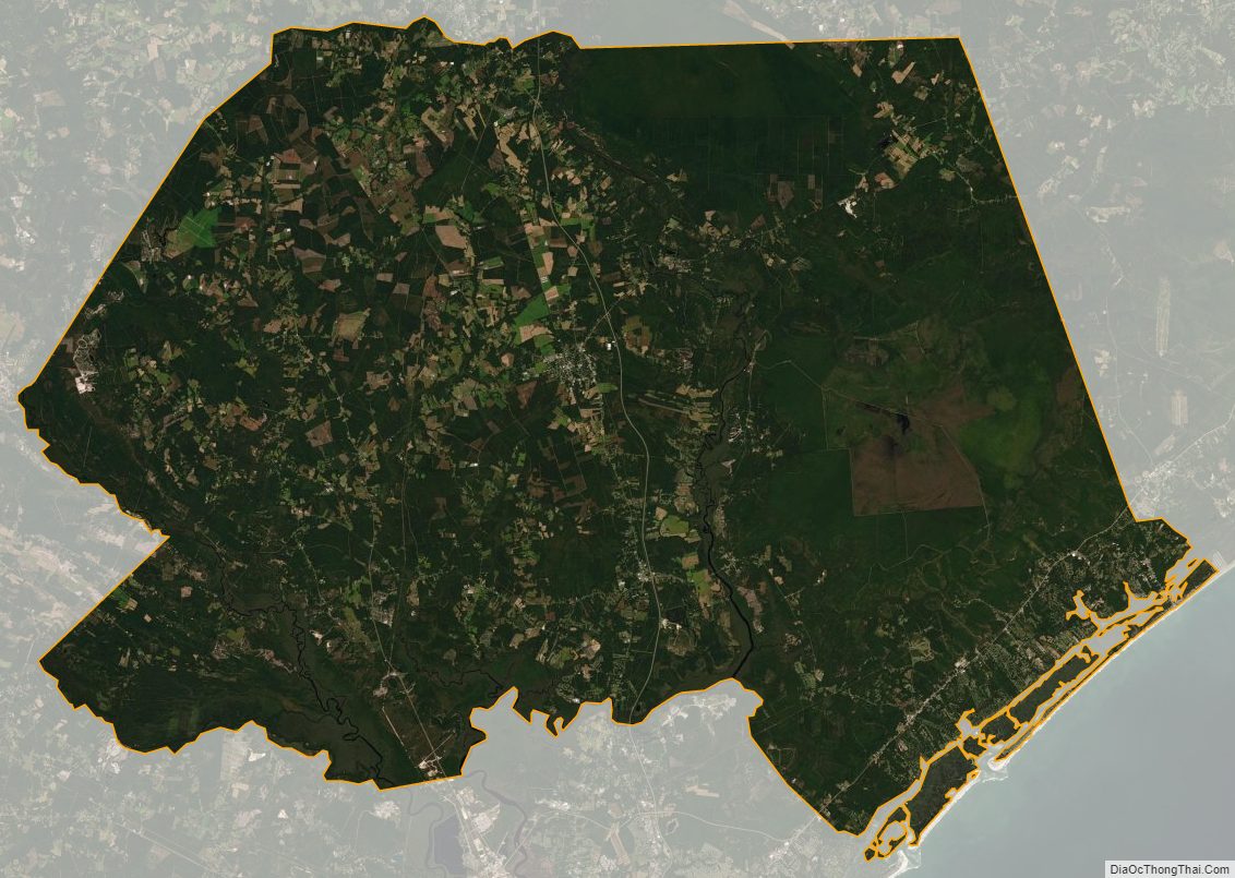
Pender County Outline Map