Pierce County is a county in the U.S. state of North Dakota. As of the 2020 census, the population was 3,990. Its county seat is Rugby.
| Name: | Pierce County |
|---|---|
| FIPS code: | 38-069 |
| State: | North Dakota |
| Founded: | 1887 |
| Named for: | Gilbert A. Pierce |
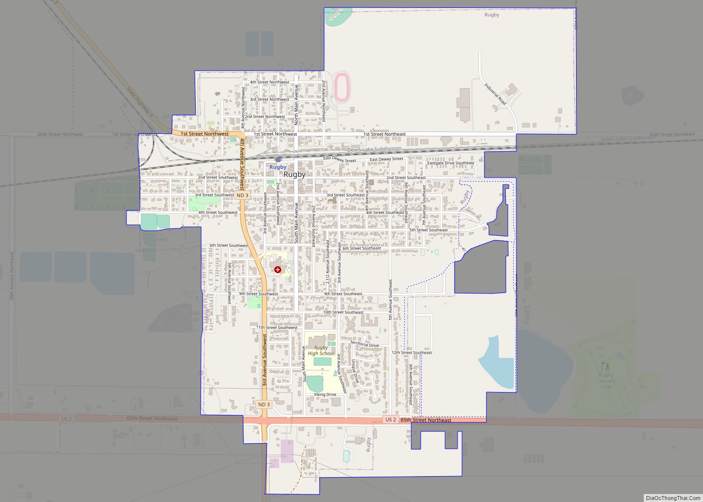
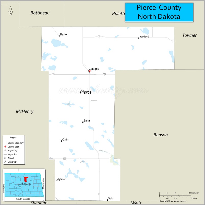
| Seat: | Rugby |
| Largest city: | Rugby |
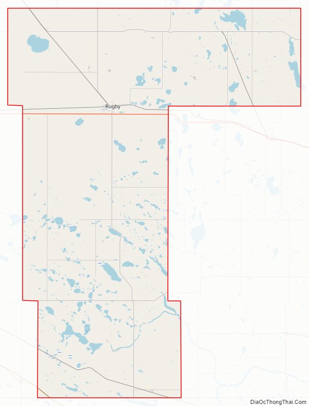
| Total Area: | 1,082 sq mi (2,800 km²) |
| Land Area: | 1,019 sq mi (2,640 km²) |
| Total Population: | 3,990 |
| Population Density: | 3.7/sq mi (1.4/km²) |
| Time zone: | UTC−6 (Central) |
| Summer Time Zone (DST): | UTC−5 (CDT) |
| Website: | www.piercecountynd.gov |
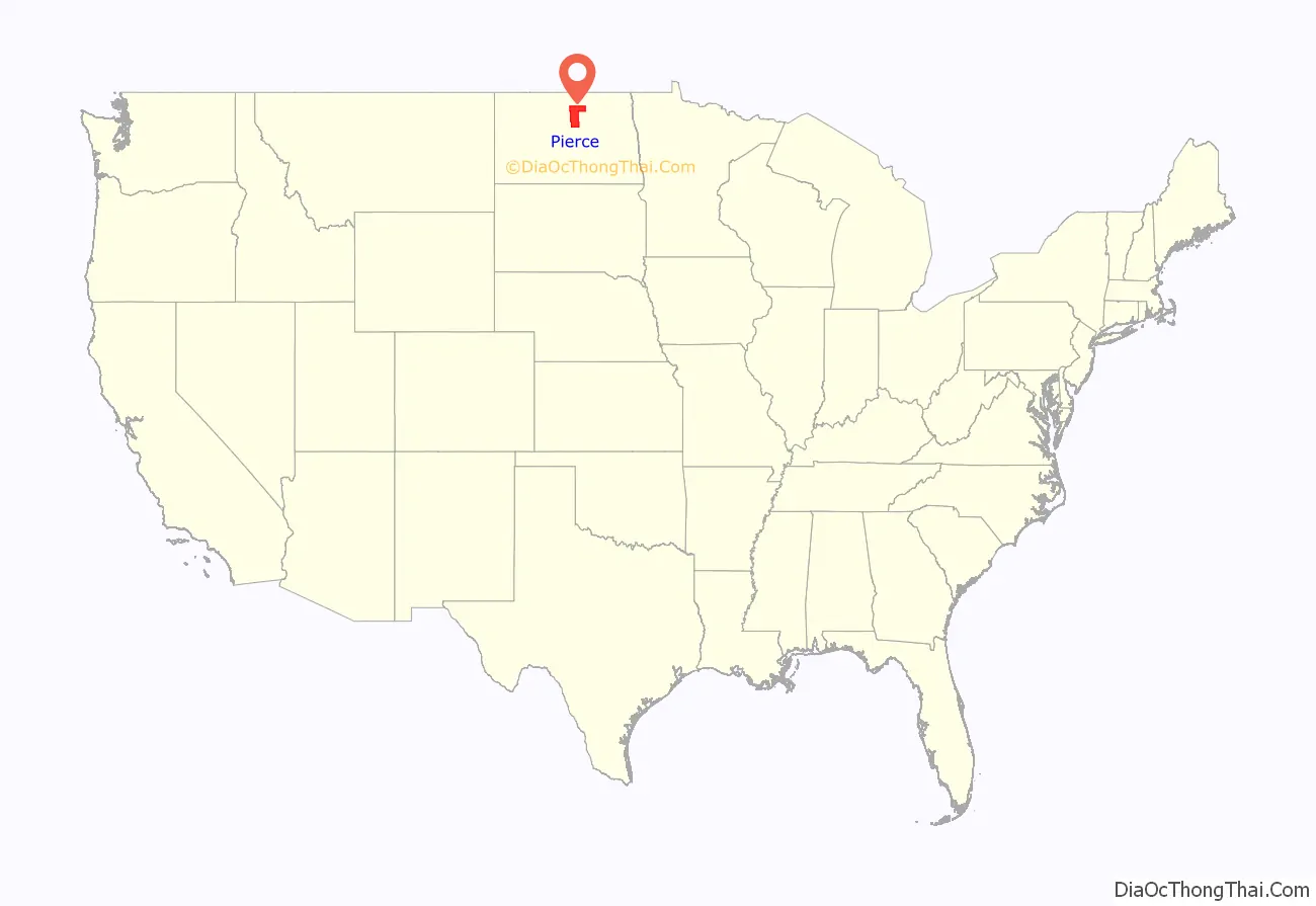
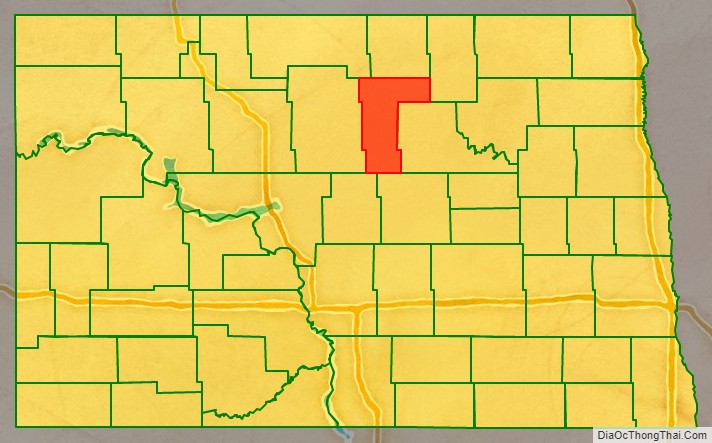
Pierce County location map. Where is Pierce County?
History
The Dakota Territory legislature created the county on March 11, 1887, with areas partitioned from Bottineau, Rolette, McHenry and the now-extinct DeSmet counties. It was named for Gilbert A. Pierce, a Dakotas political figure. The county was not organized at that time, nor was it attached to another county for administrative or judicial purposes. It was attached to McHenry County on February 4, 1889, but that lasted only two months; on April 6 the county government was effected and the attachment to McHenry was terminated.
The county’s boundaries were enlarged on November 8, 1892, when Church County was dissolved and a portion of its territory was annexed into Pierce.
The geographical center of North America is in Pierce County, approximately six miles (10 km) west of Balta. Rugby has a monument for the center at the intersection of U.S. 2 and N.D. 3.
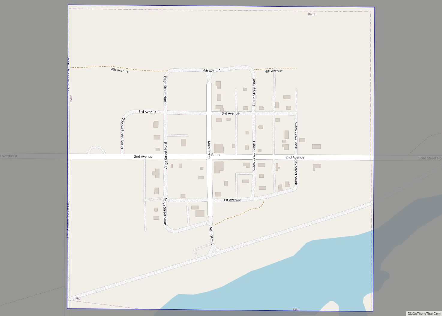
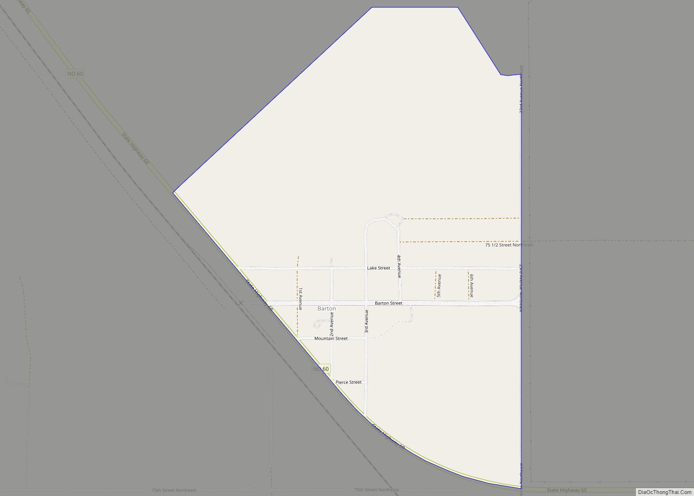
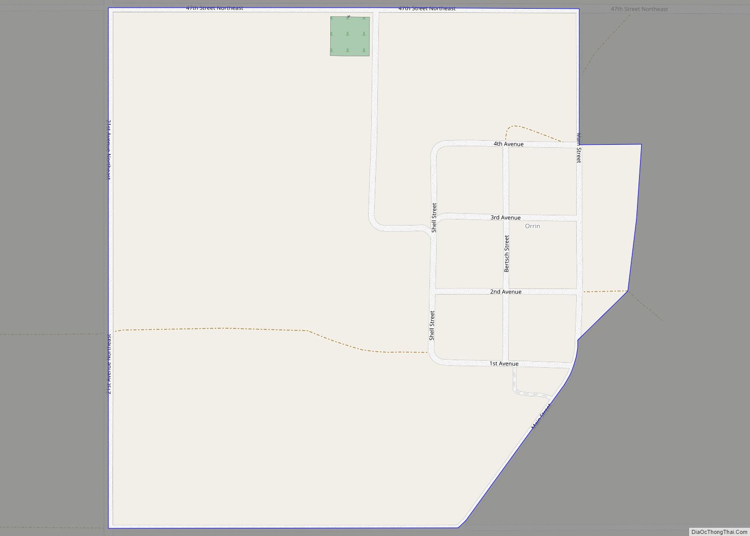
Pierce County Road Map
Geography
The North Fork of the Sheyenne River flows easterly through central Pierce County. The county terrain consists of rolling hills, mostly devoted to agriculture. The terrain generally slopes to the north and east, with its highest point a hill near the SW county corner, at 1,634′ (498m) ASL. The county has a total area of 1,082 square miles (2,800 km), of which 1,019 square miles (2,640 km) is land and 64 square miles (170 km) (5.9%) is water.
Major highways
- U.S. Highway 2
- U.S. Highway 52
- North Dakota Highway 3
- North Dakota Highway 17
- North Dakota Highway 19
- North Dakota Highway 60
Adjacent counties
- Rolette County – north
- Towner County – northeast
- Benson County – east
- Wells County – southeast
- Sheridan County – southwest
- McHenry County – west
- Bottineau County – northwest
Protected areas
- Boyer National Wildlife Refuge
- Buffalo Lake National Wildlife Refuge
- Hurricane Lake National Wildlife Refuge
- Meyer Township National Wildlife Refuge
Lakes
- Antelope Lakes
- Aylmer Lake (part)
- Battema Lake
- Buffalo Lake
- Clear Lake
- Davis Lake
- Girard Lake
- Goose Lake
- Gunderson Lake
- Guss Lake
- Horseshoe Lake
- Kilgore Lake
- Lesmeister Lake
- Long Lake
- Petrified Lake
- Ranch Lake
- Round Lake
- Sand Lake
- Smoky Lake (part)
- Twin Lakes (part)
Pierce County Topographic Map
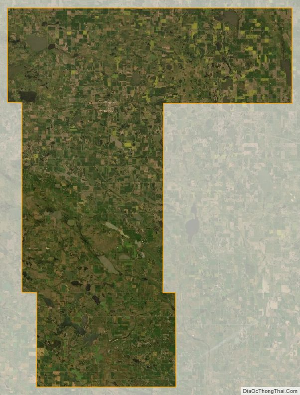
Pierce County Satellite Map
Pierce County Outline Map