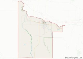
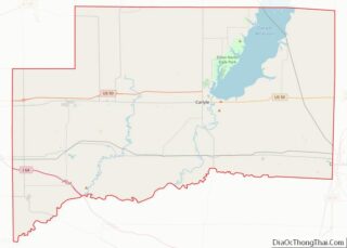
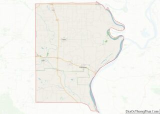
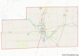
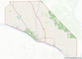
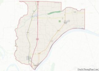
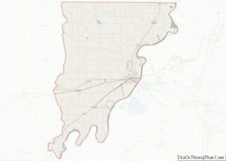
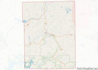
Map of Pittsburg County, Oklahoma
Pittsburg County is a county located in the U.S. state of Oklahoma. As of the 2010 census, the population was 45,837. Its county seat is McAlester. The county was formed from part of the Choctaw Nation in Indian Territory in 1907. County leaders believed that its coal production compared favorably with Pittsburgh, Pennsylvania at the ... Read more
Map of Pittsburg County, Oklahoma
Map of Woodward County, Oklahoma
Woodward County is a county located in the U.S. state of Oklahoma. As of the 2010 census, the population was 20,081. Its county seat is Woodward. Woodward County comprises the Woodward, OK Micropolitan Statistical Area. Woodward County was originally known as “N” County and was composed of present-day Woodward County and portions of Harper, Ellis, ... Read more
Map of Woodward County, Oklahoma
Map of Jefferson County, Oregon
Jefferson County is one of the 36 counties in the U.S. state of Oregon. At the 2020 census, the population was 24,502. The county seat is Madras. The county is named after Mount Jefferson. Jefferson County overview: Name: Jefferson County FIPS code: 41-031 State: Oregon Founded: December 12, 1914 Named for: Mount Jefferson Seat: Madras ... Read more
Map of Jefferson County, Oregon
Map of Wallowa County, Oregon
Wallowa County (/wəˈlaʊwə/) is the northeastern most county in the U.S. state of Oregon. As of the 2020 census, the population was 7,391, making it Oregon’s fifth-least populous county. Its county seat is Enterprise. According to Oregon Geographic Names, the origins of the county’s name are uncertain, with the most likely explanation being it is ... Read more
Map of Wallowa County, Oregon
Map of Cameron County, Pennsylvania
Cameron County is a county in the Commonwealth of Pennsylvania. As of the 2020 census, the population was 4,547 and is Pennsylvania’s least populous county. Its county seat is Emporium. The county was created on March 29, 1860, from parts of Clinton, Elk, McKean, and Potter Counties. It is named for Senator Simon Cameron. Cameron ... Read more
Map of Cameron County, Pennsylvania
Map of Franklin County, Pennsylvania
Franklin County is a county in the Commonwealth of Pennsylvania. As of the 2020 census, the population was 155,932 Its county seat is Chambersburg. Franklin County comprises the Chambersburg–Waynesboro, PA Metropolitan Statistical Area, which is also included in the Washington–Baltimore combined statistical area. It lies to a large extent within the Cumberland Valley. Franklin County ... Read more
Map of Franklin County, Pennsylvania
Map of Mifflin County, Pennsylvania
Mifflin County is a county in the Commonwealth of Pennsylvania. As of the 2020 census, the population was 46,143. Its county seat is Lewistown. The county was created on September 19, 1789, from parts of Cumberland County and Northumberland County. It was named for Thomas Mifflin, the first Governor of Pennsylvania. Mifflin County comprises the ... Read more
Map of Mifflin County, Pennsylvania
Map of Union County, Pennsylvania
Union County is a county in the Commonwealth of Pennsylvania. As of the 2020 census, the population was 42,681. Its county seat is Lewisburg. The county was created on March 22, 1813, from part of Northumberland County. Its name is an allusion to the federal Union. Mifflinburg was established by legislation as the first county ... Read more
Map of Union County, Pennsylvania
Map of Anderson County, South Carolina
Anderson County is a county located in the U.S. state of South Carolina. As of the 2020 census, its population was 203,718. Its county seat is Anderson. Named for Revolutionary War leader Robert Anderson, the county is located in northwestern South Carolina, along the state line of Georgia. Anderson County is included in the Greenville-Anderson-Mauldin, ... Read more
Map of Anderson County, South Carolina
Map of Fairfield County, South Carolina
Fairfield County is a county located in the U.S. state of South Carolina. As of the 2020 census, its population was 20,948. Its county seat is Winnsboro. Fairfield County is part of the Columbia, SC Metropolitan Statistical Area. Fairfield County overview: Name: Fairfield County FIPS code: 45-039 State: South Carolina Founded: 1785 Named for: Comment ... Read more
Map of Fairfield County, South Carolina
Map of Newberry County, South Carolina
Newberry County is a county located in the U.S. state of South Carolina. As of the 2020 census, its population was 37,719. Its county seat is Newberry. The name is of unknown origin. Newberry County comprises the Newberry, SC Micropolitan Statistical Area Newberry County overview: Name: Newberry County FIPS code: 45-071 State: South Carolina Founded: ... Read more
Map of Newberry County, South Carolina
Map of Brown County, South Dakota
Brown County is a county in the U.S. state of South Dakota. As of the 2020 United States Census, the population was 38,301, making it the fourth-most populous county in South Dakota. Its county seat is Aberdeen. The county is named for Alfred Brown, of Hutchinson County, South Dakota, a Dakota Territory legislator in 1879. ... Read more
Map of Brown County, South Dakota