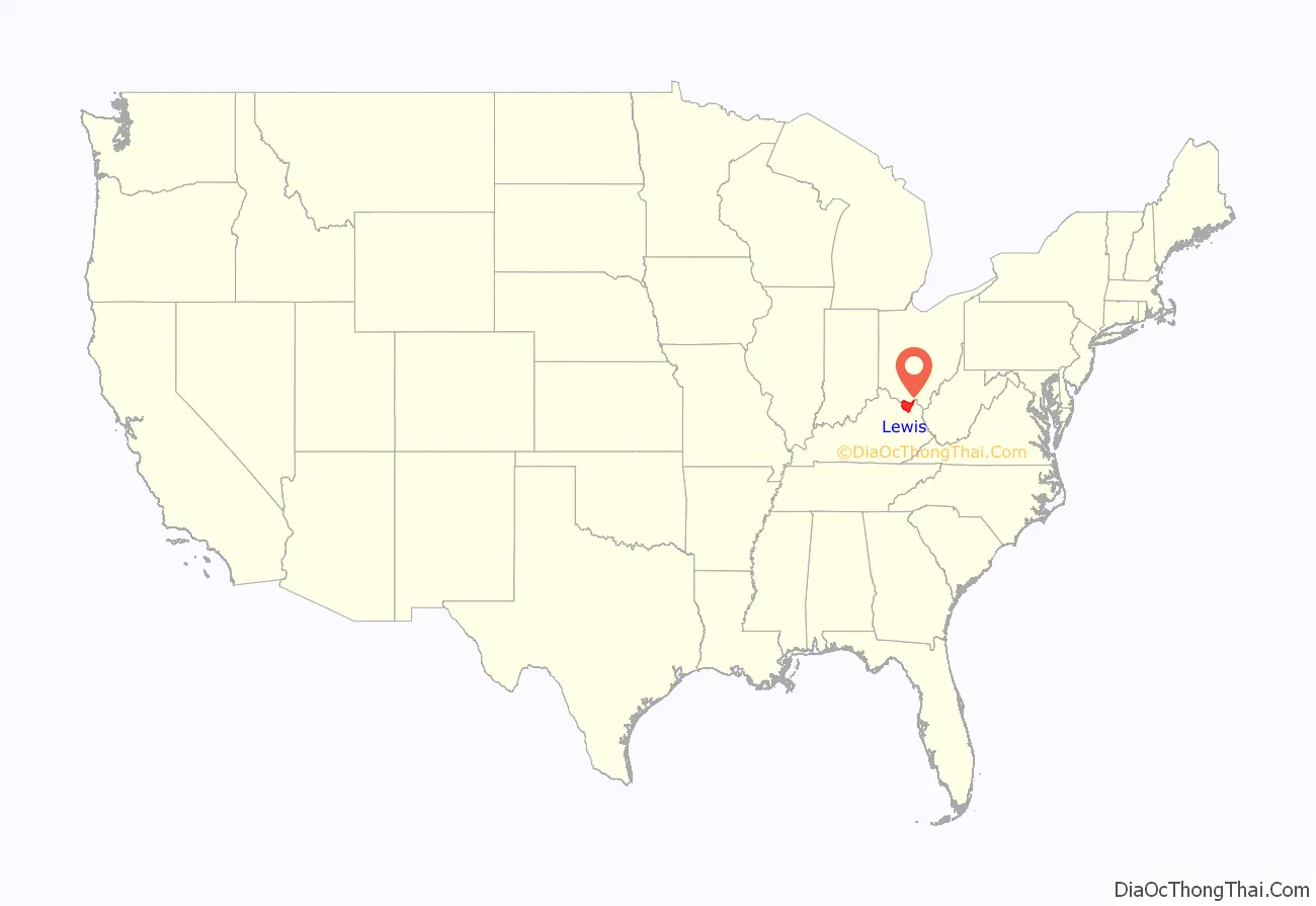
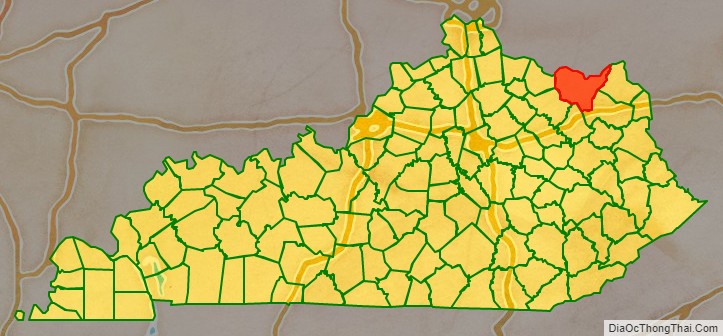
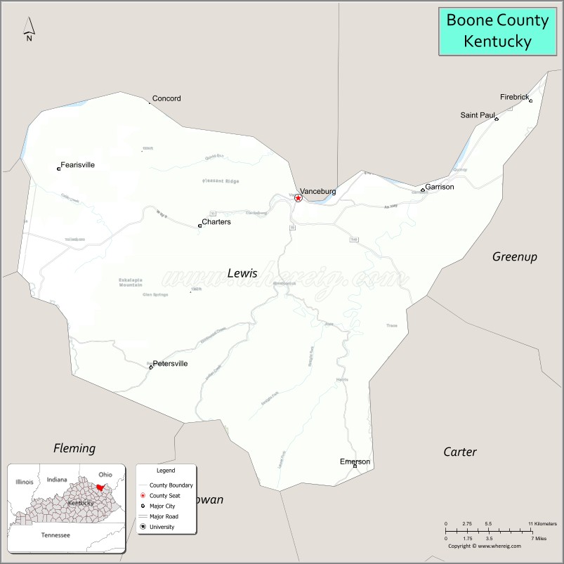
Lewis County is a county located in the U.S. state of Kentucky. Its county seat is Vanceburg.
| Name: | Lewis County |
|---|---|
| FIPS code: | 21-135 |
| State: | Kentucky |
| Founded: | December 2, 1806 |
| Named for: | Meriwether Lewis |
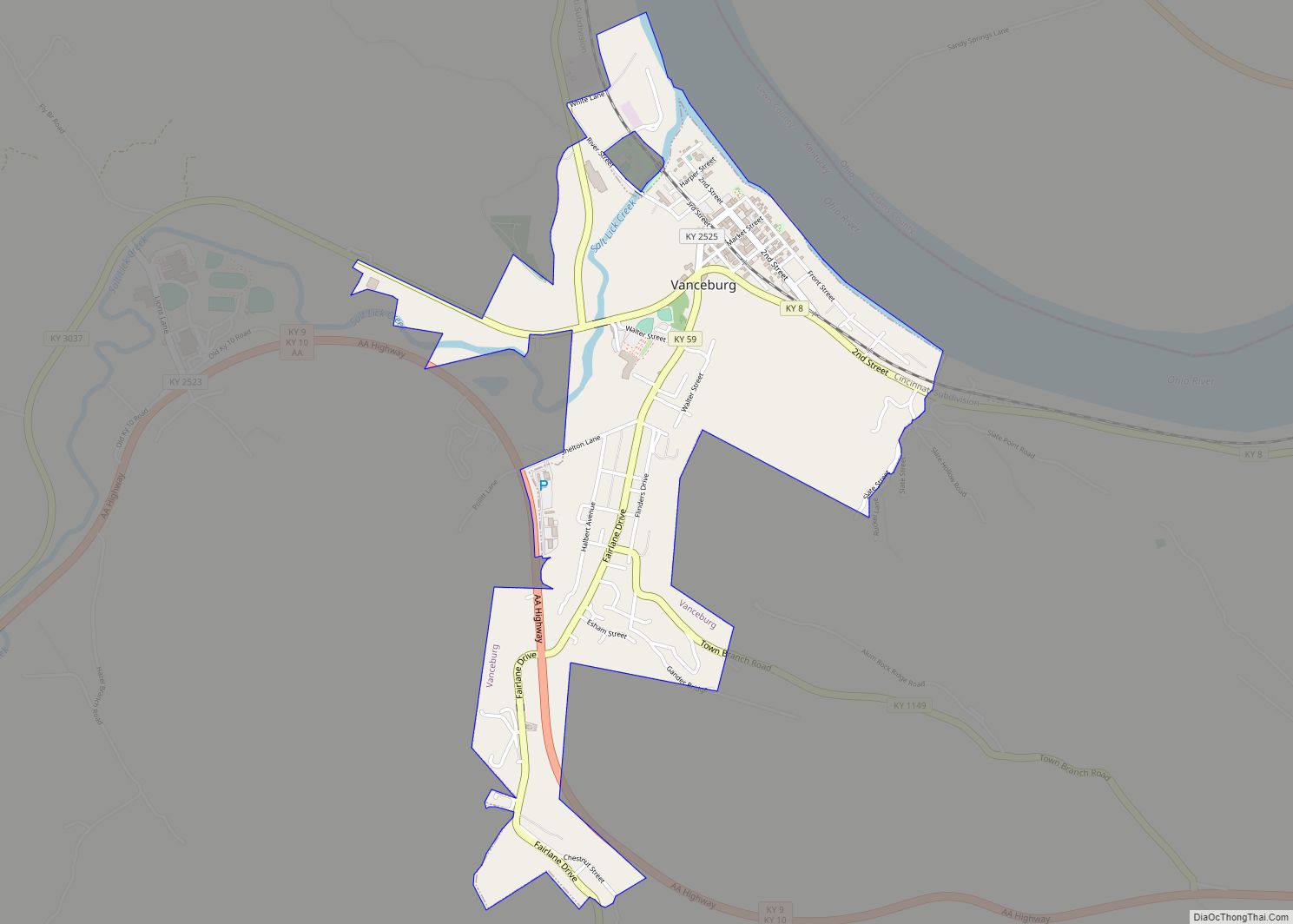
| Seat: | Vanceburg |
| Largest city: | Vanceburg |
| Total Area: | 495 sq mi (1,280 km²) |
| Land Area: | 483 sq mi (1,250 km²) |
| Total Population: | 13,080 |
| Population Density: | 26/sq mi (10/km²) |
| Time zone: | UTC−5 (Eastern) |
| Summer Time Zone (DST): | UTC−4 (EDT) |
| Website: | lewiscounty.ky.gov |
Lewis County location map. Where is Lewis County?
History
The area presently bounded by Kentucky state lines was a part of the U.S. State of Virginia, known as Kentucky County when the British colonies separated themselves in the American Revolutionary War. In 1780, the Virginia legislature divided the previous Kentucky County into three smaller units: Fayette, Jefferson, and Lincoln. In 1791, this area was separated into the State of Kentucky; it became effective on June 1, 1792. From that time, the original three counties were divided several times. A portion of Fayette County was split off as Bourbon County in 1785; a portion of Bourbon was split off as Mason County in 1788; in 1806 the present Lewis County was split off from Mason. The new county was named for Meriwether Lewis.
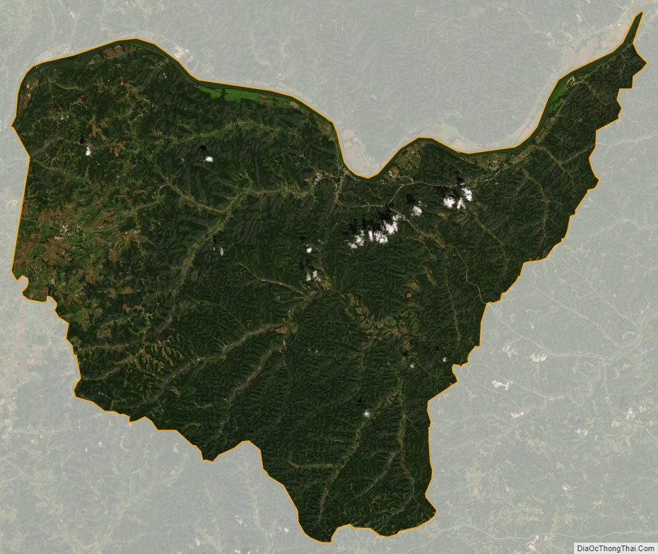
The county’s hilly country, heavily forested, has produced some of the nation’s best oak lumber. Lumbering has been the county’s principal economic activity from the start.
The county’s elevation ranges from 485 to 1400 feet above sea level.
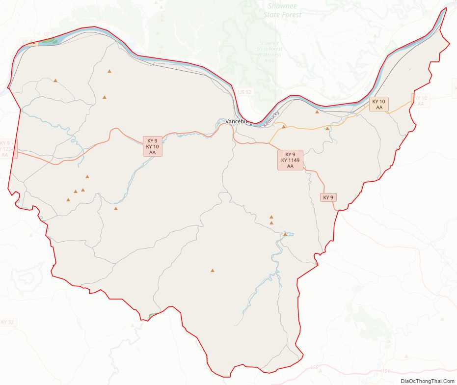
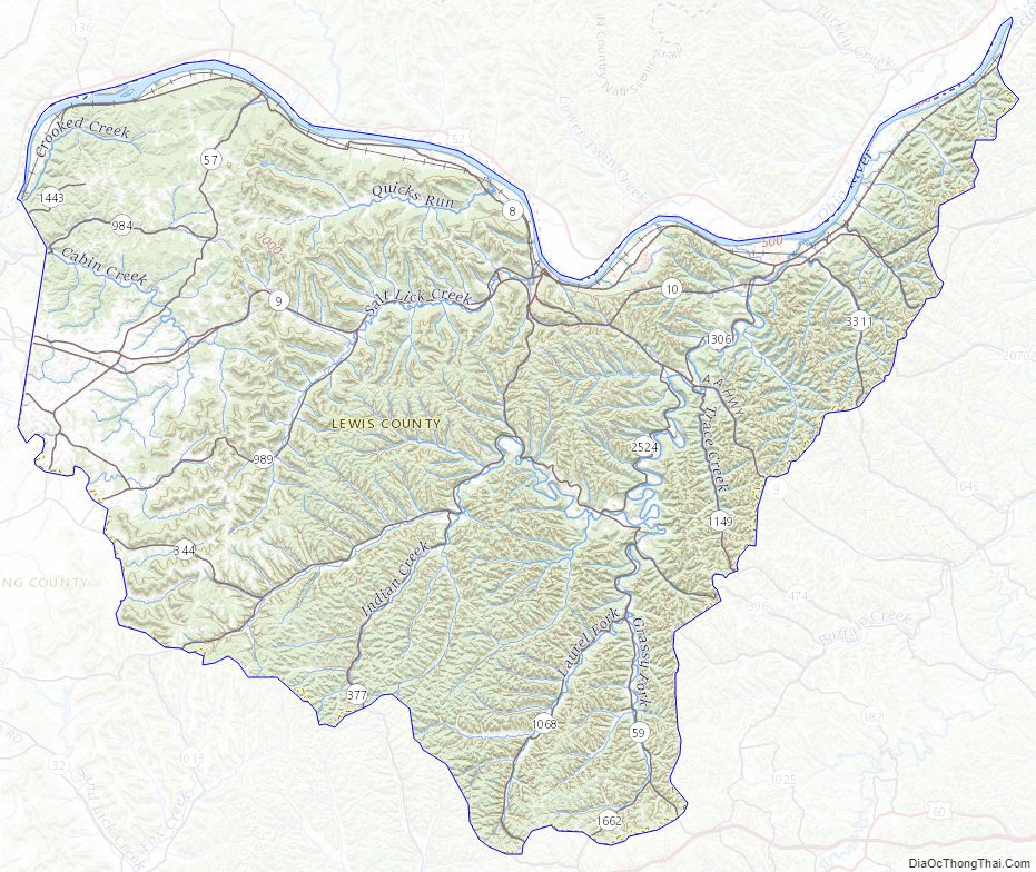
Lewis County Road Map
Geography
According to the U.S. Census Bureau, the county has a total area of 495 square miles (1,280 km), of which 483 square miles (1,250 km) is land and 13 square miles (34 km) (2.5%) is water. The county’s northern border with Ohio is formed by the Ohio River. Its border with the river is the longest of all the Kentucky counties.
Adjacent counties
- Adams County, Ohio (north)
- Scioto County, Ohio (northeast)
- Greenup County (east)
- Carter County (southeast)
- Rowan County (south)
- Fleming County (southwest)
- Mason County (west)
National protected area
- Ohio River Islands National Wildlife Refuge (part)
Lewis County Topographic Map
Lewis County Satellite Map
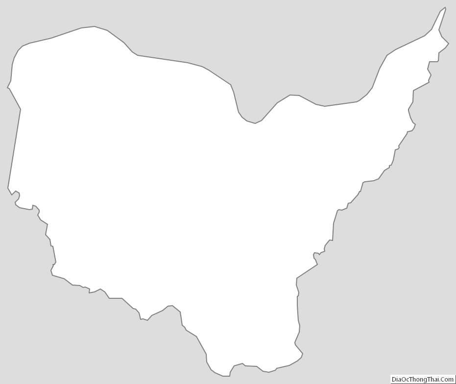
Lewis County Outline Map