Floyd County is a county located in the U.S. state of Kentucky. As of the 2020 census, the population was 35,942. Its county seat is Prestonsburg. The county, founded in 1800, is named for Colonel John Floyd (1750–1783).
| Name: | Floyd County |
|---|---|
| FIPS code: | 21-071 |
| State: | Kentucky |
| Founded: | 1800 |
| Named for: | John Floyd |
| Seat: | Prestonsburg |
| Largest city: | Prestonsburg |
| Total Area: | 396 sq mi (1,030 km²) |
| Land Area: | 393 sq mi (1,020 km²) |
| Total Population: | 35,942 |
| Population Density: | 91/sq mi (35/km²) |
| Time zone: | UTC−5 (Eastern) |
| Summer Time Zone (DST): | UTC−4 (EDT) |
| Website: | www.floydcountykentucky.com |
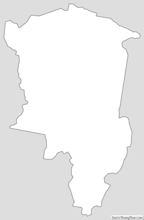
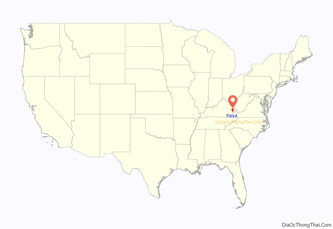
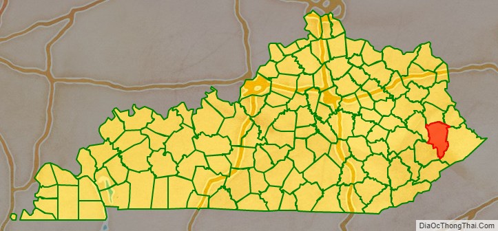
Floyd County location map. Where is Floyd County?
History
On December 13, 1799, the Kentucky General Assembly passed legislation to form Floyd County as the 40th county of Kentucky. The county was made from parts of Fleming, Montgomery, and Mason County, Kentucky. The legislation became effective on June 1, 1800. The county was named for James John Floyd, a pioneer surveyor who helped lay out the city of Louisville. The county seat was Preston’s Station, later renamed Prestonsburg. The first court house burned down on April 8, 1808, destroying all the early records, so the earliest records of government activity do not date prior to 1808. Prestonsburg was used as a Confederate stronghold during the Civil War and two battles took place nearby, the Battle of Ivy Mountain on November 8, 1861, and the Battle of Middle Creek on January 10, 1862. Both were Union victories.
On February 28, 1958, the county was the site of one of the deadliest bus accidents in U.S. history, leaving 27 people dead.
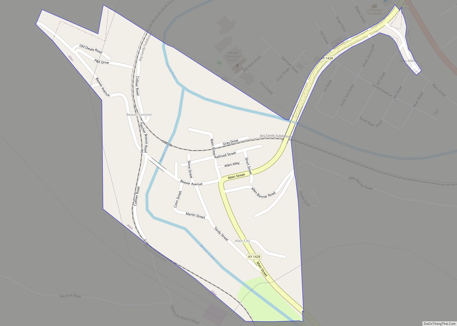
On June 30, 2022, a mass shooting targeting police officers occurred in Allen, a city in Floyd County. Three police officers and a police dog were killed, and four other people were injured. The alleged shooter, 49-year-old Lance Storz, was arrested and charged with murder and attempted murder of a police officer.
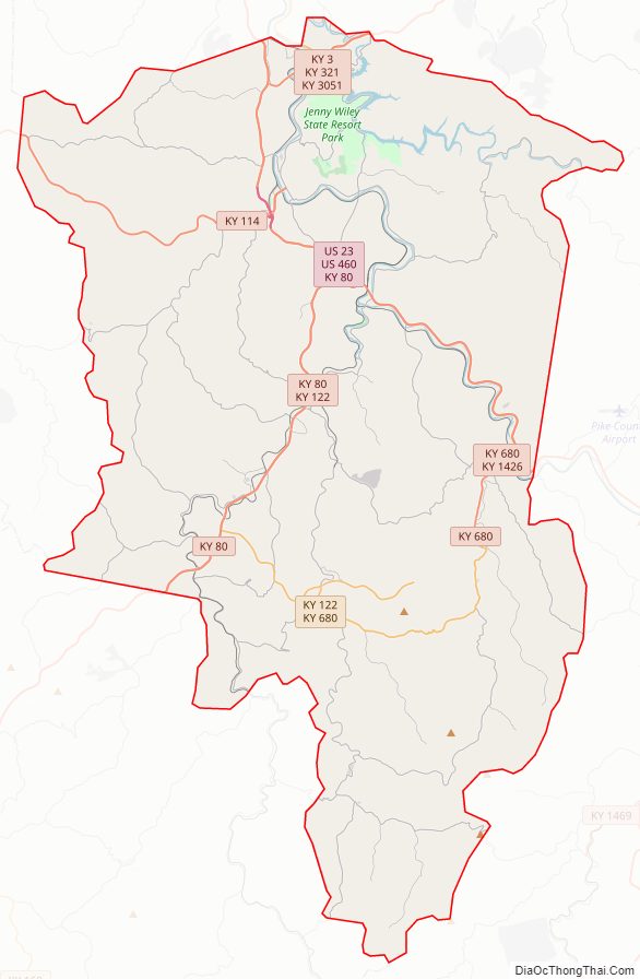
Floyd County Road Map
Geography
According to the United States Census Bureau, the county has a total area of 396 square miles (1,030 km), of which 393 square miles (1,020 km) is land and 2.4 square miles (6.2 km) (0.6%) is water.
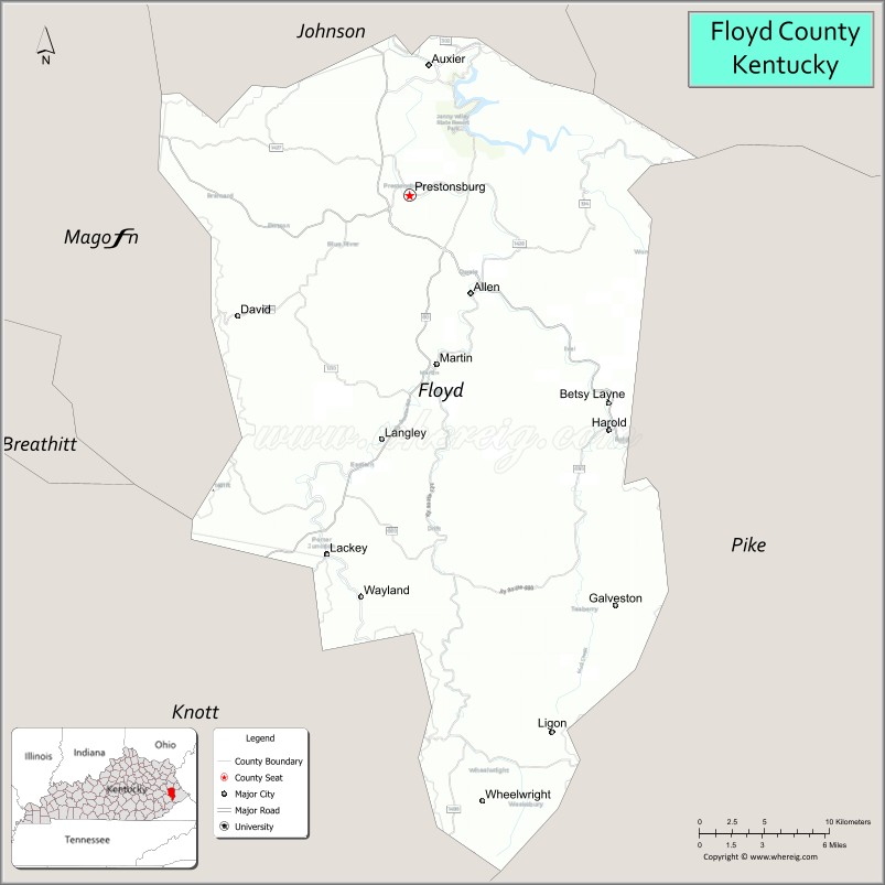
Adjacent counties
- Johnson County (north)
- Martin County (northeast)
- Pike County (east)
- Knott County (southwest)
- Magoffin County (northwest)
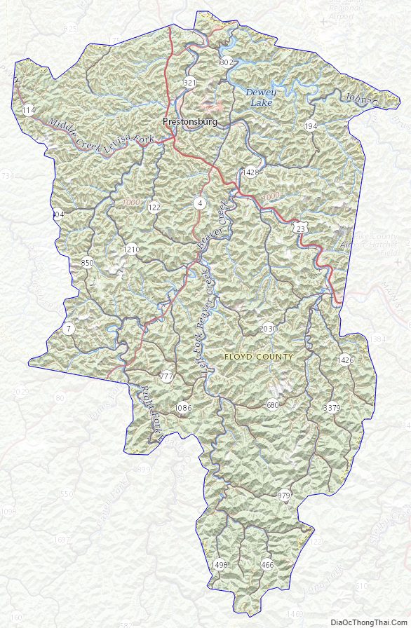
Floyd County Topographic Map
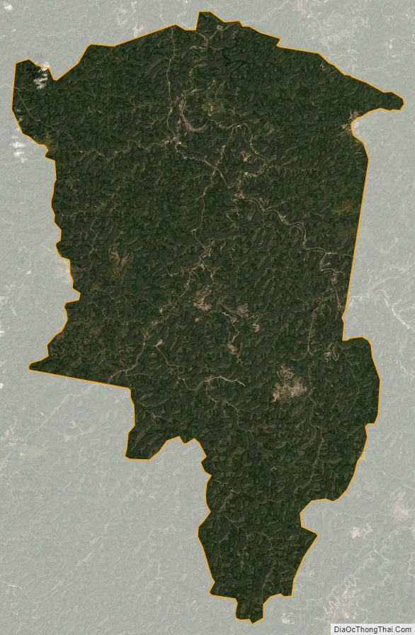
Floyd County Satellite Map
Floyd County Outline Map