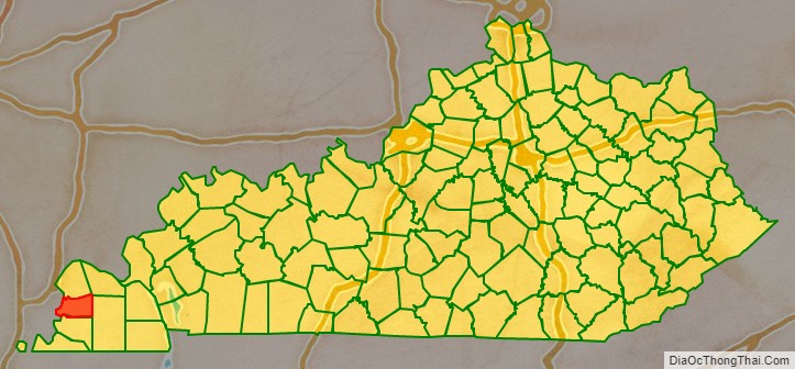
Carlisle County is a county located in the U.S. state of Kentucky. As of the 2020 census, the population was 4,826, making it the fourth-least populous county in Kentucky. Its county seat is Bardwell. The county was founded in 1886 and named for John Griffin Carlisle, a Speaker of the United States House of Representatives from Kentucky. It remains a prohibition or dry county.
| Name: | Carlisle County |
|---|---|
| FIPS code: | 21-039 |
| State: | Kentucky |
| Founded: | 1886 |
| Named for: | John G. Carlisle |
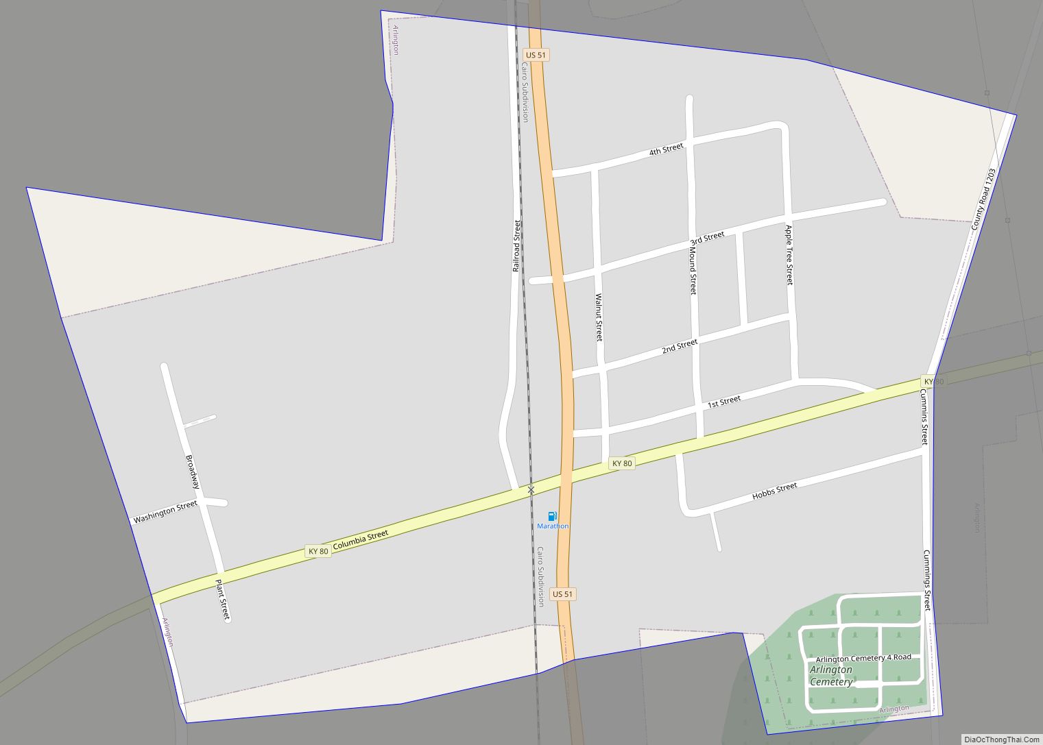
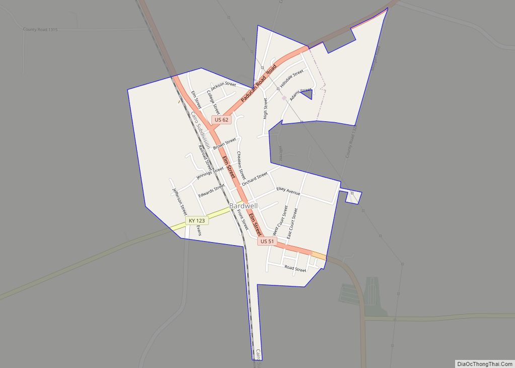
| Seat: | Bardwell |
| Largest city: | Bardwell |
| Total Area: | 199 sq mi (520 km²) |
| Land Area: | 189 sq mi (490 km²) |
| Total Population: | 4,826 |
| Population Density: | 24/sq mi (9.4/km²) |
| Time zone: | UTC−6 (Central) |
| Summer Time Zone (DST): | UTC−5 (CDT) |
| Website: | carlislecounty.ky.gov |
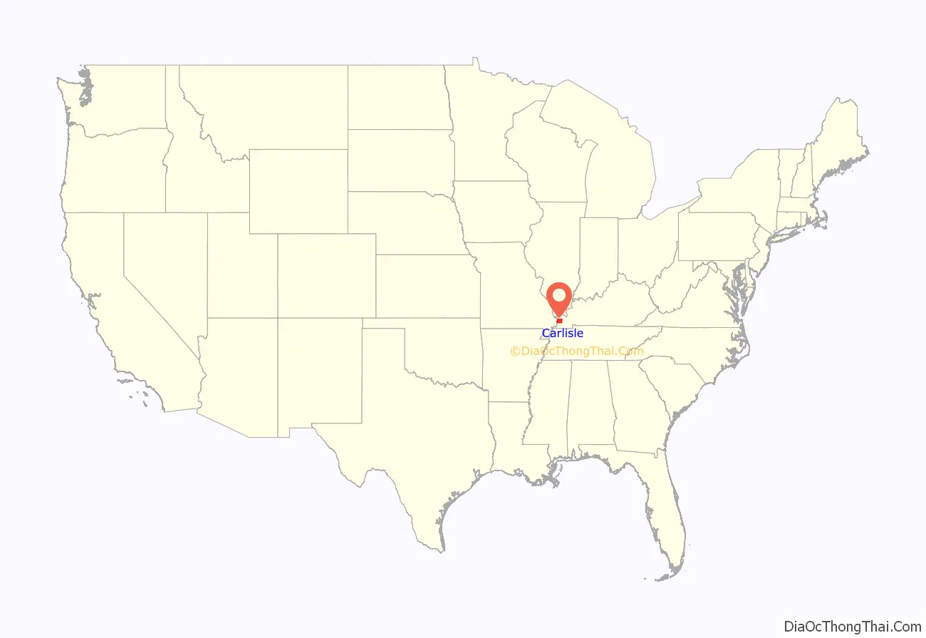
Carlisle County location map. Where is Carlisle County?
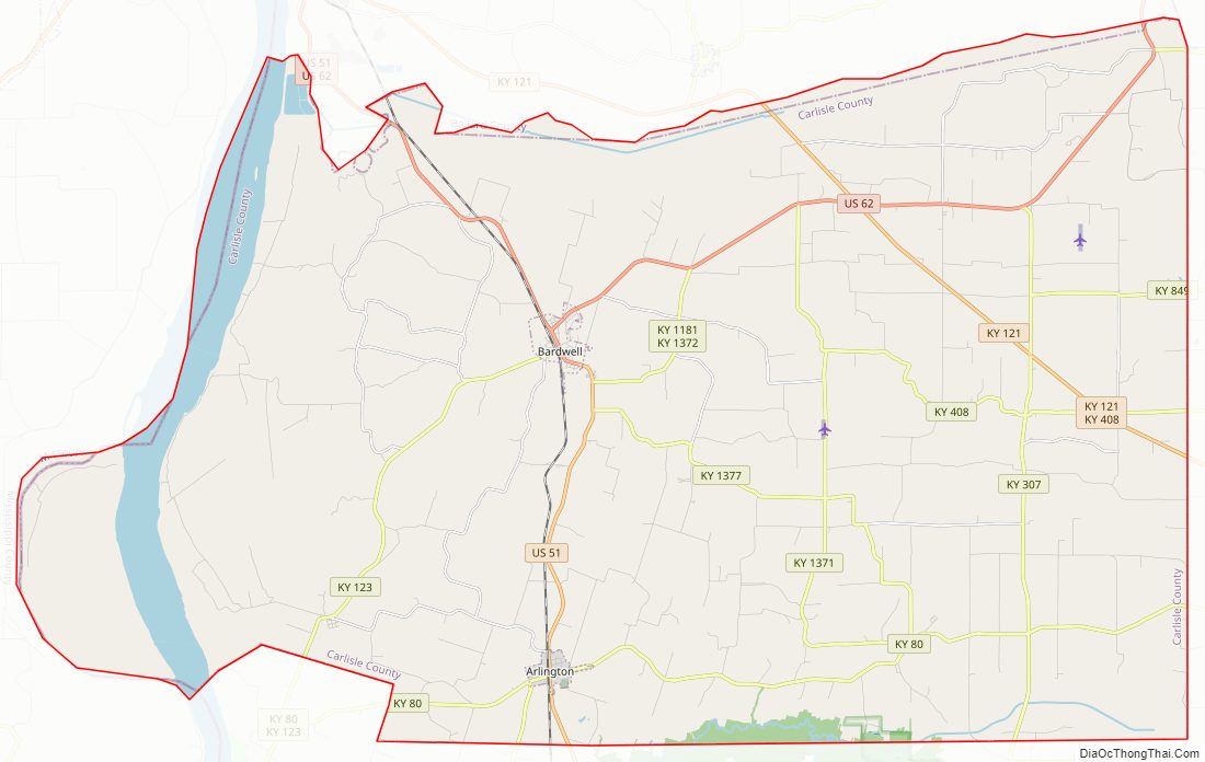
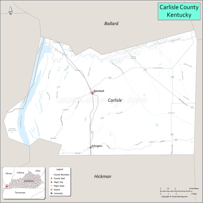
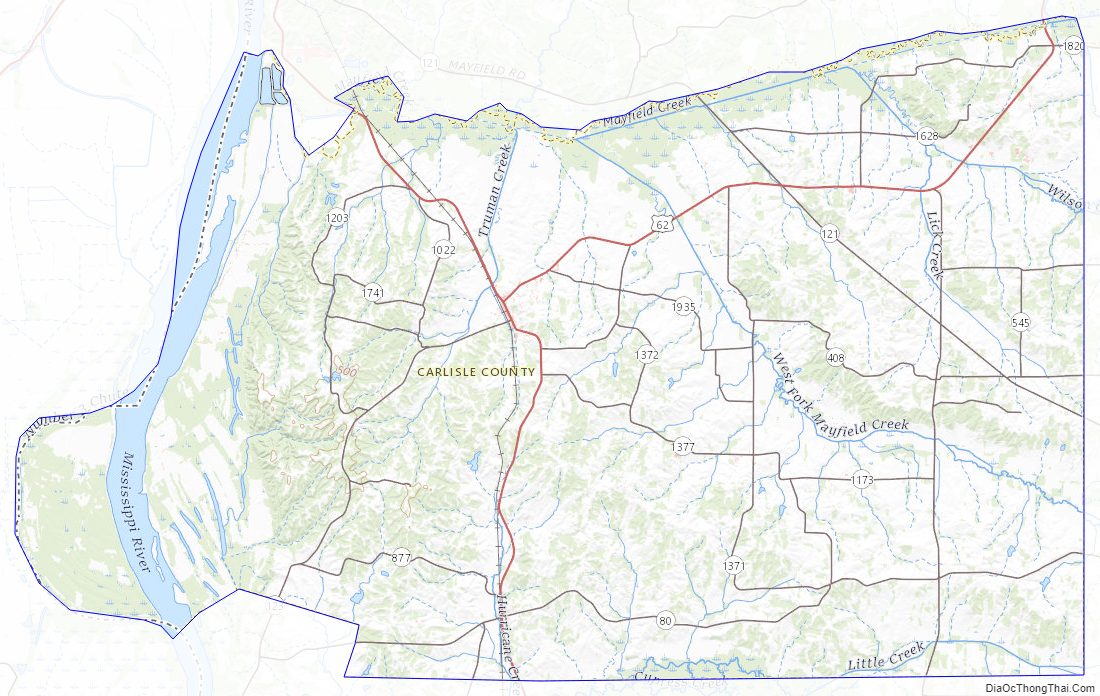
Carlisle County Road Map
Geography
According to the U.S. Census Bureau, the county has a total area of 199 square miles (520 km), of which 189 square miles (490 km) is land and 9.5 square miles (25 km) (4.8%) is water. The county’s western border with Missouri is formed by the Mississippi River.
Adjacent counties
- Ballard County (north)
- McCracken County (northeast)
- Graves County (east)
- Hickman County (south)
- Mississippi County, Missouri (west)
Carlisle County Topographic Map
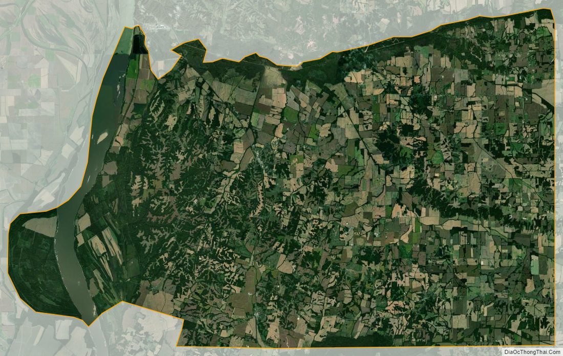
Carlisle County Satellite Map
Carlisle County Outline Map