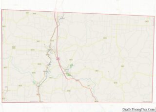
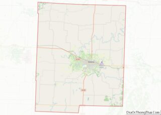
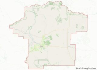
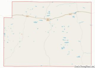
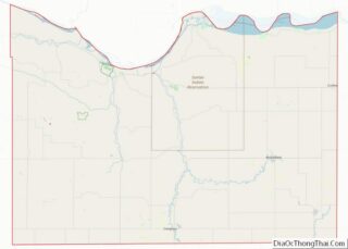
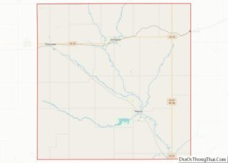
Map of Iron County

Map of Iron County, Missouri

Iron County is a county located in the Lead Belt region in the U.S. state of Missouri. As of the 2020 census, the population was 9,537. The largest city and county seat is Ironton. Iron County was officially organized on February 17, 1857, and was named after the abundance of iron ore found within its … Read more

Map of Marion County

Map of Marion County, Missouri

Marion County is a county located in the northeastern portion of Missouri. As of the 2010 census, the population was 28,781. Its county seat is Palmyra. Unique from most third-class counties in the state, Marion has two county courthouses, the second located in Hannibal. The county was organized on December 23, 1826 and named for … Read more

Map of Perry County

Map of Perry County, Missouri

Perry County is a county located in the southeastern portion of the U.S. state of Missouri. As of the 2020 census, the population was 18,956. Its county seat is Perryville. The county was officially organized on November 16, 1820 (effective January 1, 1821) from Ste. Genevieve County and was named after Oliver Hazard Perry, a … Read more

Map of Saint Louis County

Map of St. Louis County, Missouri

St. Louis County is located in the eastern-central portion of Missouri. It is bounded by the City of St. Louis and the Mississippi River to the east, the Missouri River to the north, and the Meramec River to the south. At the 2020 census, the total population was 1,004,125, making it the most populous county … Read more

Map of Wayne County

Map of Wayne County, Missouri

Wayne County is a county located in the Ozark foothills in the U.S. state of Missouri. As of the 2020 census, the population was 10,974. The county seat is Greenville. The county was officially organized on December 11, 1818, and is named after General “Mad” Anthony Wayne, who served in the American Revolution. Wayne County … Read more

Map of Fallon County

Map of Fallon County, Montana

Fallon County is a county located in the U.S. state of Montana. As of the 2020 census, the population was 3,049. Its county seat is Baker. The county was created in 1913 from a portion of Custer County. It is named for Benjamin O’Fallon, a nephew of Captain William Clark and an Indian agent for … Read more

Map of McCone County

Map of McCone County, Montana

McCone County is a county located in the U.S. state of Montana. As of the 2020 census, the population was 1,729. Its county seat is Circle. The county was created in 1919. It was named for State Senator George McCone, who had been one of the first county commissioners of Dawson County. McCone County overview: … Read more

Map of Sanders County

Map of Sanders County, Montana

Sanders County is a county in the U.S. state of Montana. As of the 2020 census, the population was 12,400. Its county seat is Thompson Falls. The county was founded in 1905. It has an annual county fair with rodeo at Plains. Sanders County overview: Name: Sanders County FIPS code: 30-089 State: Montana Founded: 1905 … Read more

Map of Blaine County

Map of Blaine County, Nebraska

Blaine County is a county in the U.S. state of Nebraska. As of the 2010 United States Census, the population was 478, making it Nebraska’s second-least populous county and the sixth-least populous in the United States. Its county seat is Brewster. The county was formed in 1885 and organized in 1886. It is named after … Read more

Map of Custer County

Map of Custer County, Nebraska

Custer County overview: Name: Custer County FIPS code: 31-041 State: Nebraska Founded: 17 February 1877 Named for: George Armstrong Custer Seat: Broken Bow Largest city: Broken Bow Total Area: 2,576 sq mi (6,670 km²) Land Area: 2,576 sq mi (6,670 km²) Total Population: 10,460 Population Density: 4.06/sq mi (1.57/km²) Time zone: UTC−6 (Central) Summer Time Zone (DST): UTC−5 (CDT) Website: www.co.custer.ne.us Custer … Read more

Map of Gosper County

Map of Gosper County, Nebraska

Gosper County is a county located in the U.S. state of Nebraska. As of the 2020 United States census, the population was 1,893. Its county seat is Elwood. The county was formed in 1873, and was organized in 1881. It was named for John J. Gosper, a Nebraska Secretary of State. Gosper County is part … Read more

Map of Kimball County

Map of Kimball County, Nebraska

Kimball County is a county in the U.S. state of Nebraska. As of the 2010 United States Census, the population was 3,821. Its county seat is Kimball. The county was formed in 1888 and named after railroad pioneer Thomas Lord Kimball. In the Nebraska license plate system, Kimball County is represented by the prefix 71 … Read more