Sheridan County is a county in the U.S. state of Montana. As of the 2020 census, the population was 3,539. Its county seat is Plentywood. Its northern boundary is the Canada–United States border south of Saskatchewan.
| Name: | Sheridan County |
|---|---|
| FIPS code: | 30-091 |
| State: | Montana |
| Founded: | March 11, 1913 |
| Named for: | Philip Sheridan |
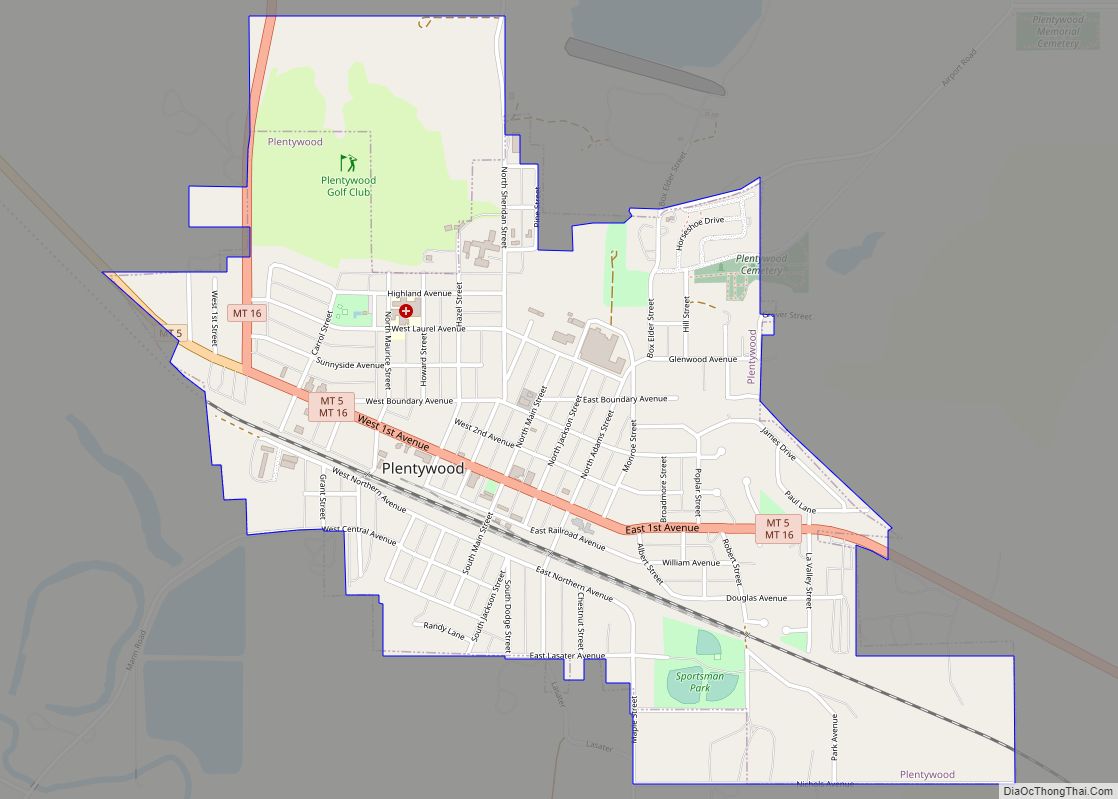
| Seat: | Plentywood |
| Largest city: | Plentywood |
| Total Area: | 1,706 sq mi (4,420 km²) |
| Land Area: | 1,677 sq mi (4,340 km²) |
| Total Population: | 3,539 |
| Population Density: | 2.1/sq mi (0.80/km²) |
| Time zone: | UTC−7 (Mountain) |
| Summer Time Zone (DST): | UTC−6 (MDT) |
| Website: | www.co.sheridan.mt.us |
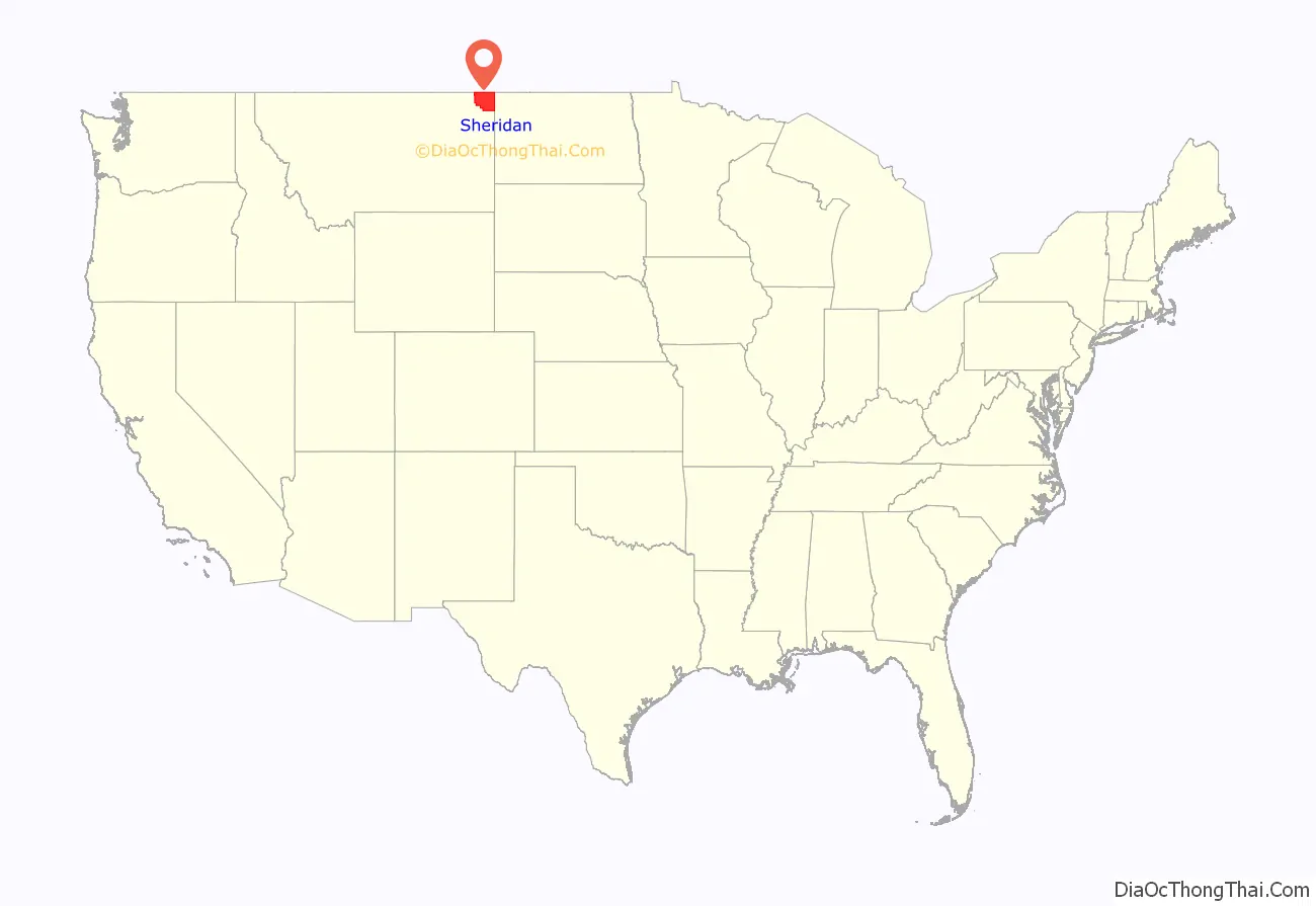
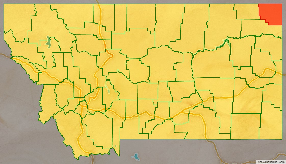
Sheridan County location map. Where is Sheridan County?
History
The Montana Legislature established Sheridan County in 1913 from portions of Dawson and Valley Counties. It was named for American Civil War General Philip Sheridan. In the 1920s and 1930s the county was a hotbed of communist organizing. The CPUSA managed to elect several town and county officials. At the 1932 presidential election the communist candidate William Z. Foster got 576 votes (22%). International changes in communist organizing strategies, especially the move towards the popular front, effectively ended communist presence in the area.
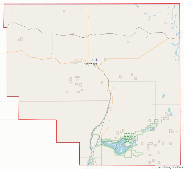
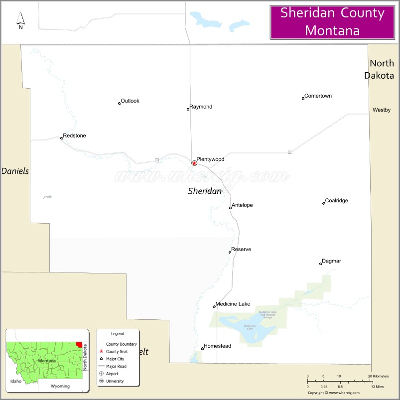
Sheridan County Road Map
Geography
According to the United States Census Bureau, the county has a total area of 1,706 square miles (4,420 km), of which 1,677 square miles (4,340 km) is land and 29 square miles (75 km) (1.7%) is water.
Major highways
- Montana Highway 5
- Montana Highway 16
Adjacent counties and rural municipalities
- Rural Municipality of Happy Valley, Saskatchewan – northwest
- Rural Municipality of Surprise Valley, Saskatchewan – north
- Rural Municipality of Lake Alma, Saskatchewan – northeast
- Daniels County – west
- Divide County, North Dakota – east
- Williams County, North Dakota – east
- Roosevelt County – south
National protected area
- Medicine Lake National Wildlife Refuge (part)
Sheridan County Topographic Map

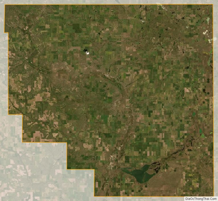
Sheridan County Satellite Map
Sheridan County Outline Map