Dakota County is a county in the U.S. state of Nebraska. As of the 2020 United States Census, the population was 21,582. Its county seat is Dakota City.
Dakota County is part of the Sioux City, IA–NE–SD Metropolitan Statistical Area.
In the Nebraska license plate system, Dakota County is represented by the prefix 70 (it had the 70th-largest number of vehicles registered in the county when the license plate system was established in 1922). In August 2009, the Dakota County Board of Commissioners reversed a decision to abandon this system for alphanumeric plates upon introduction of new license plates in 2011. Douglas, Lancaster, and Sarpy Counties remain the only counties with alphanumeric plates in the state.
| Name: | Dakota County |
|---|---|
| FIPS code: | 31-043 |
| State: | Nebraska |
| Founded: | 7 March 1855 |
| Named for: | Dakota people |
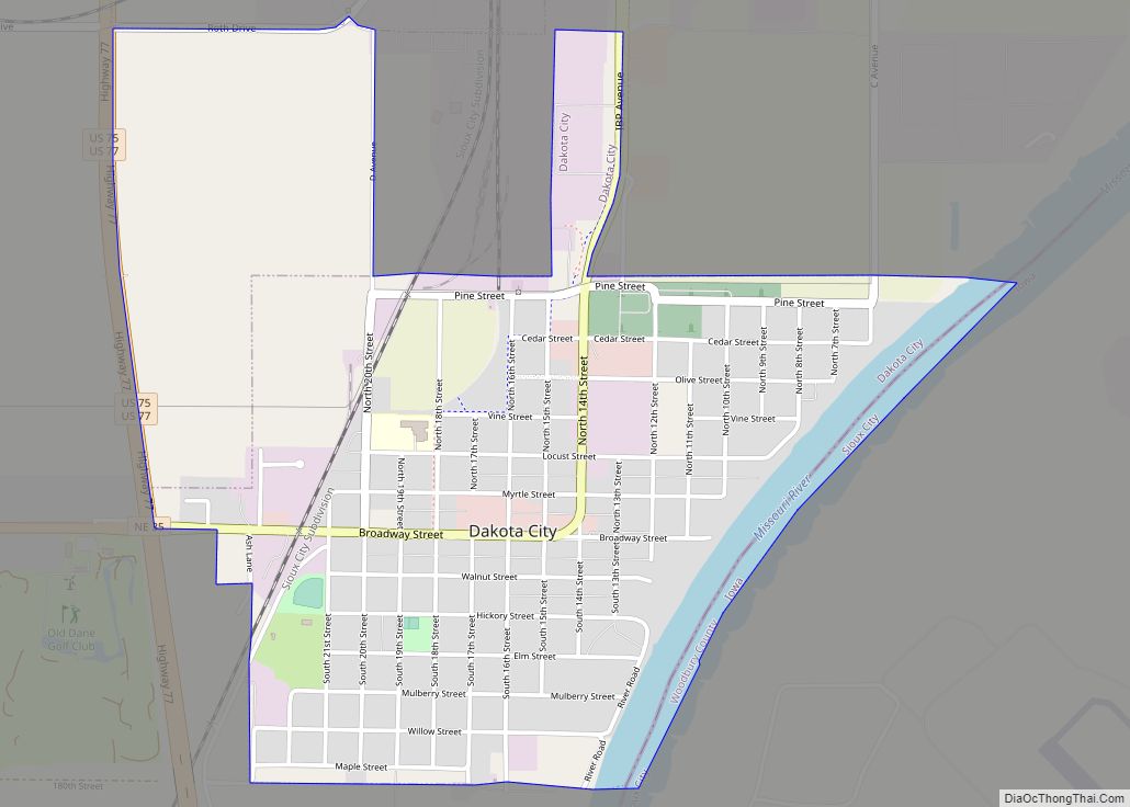
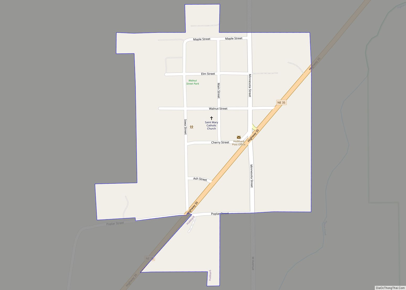
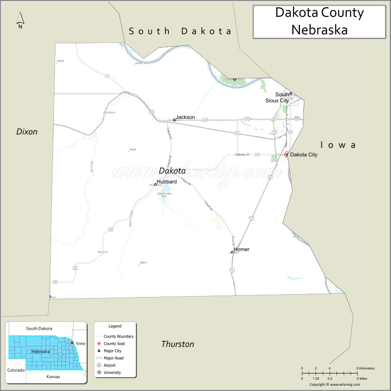
| Seat: | Dakota City |
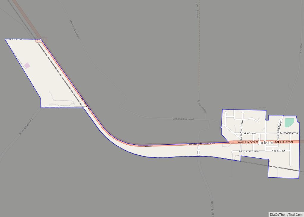
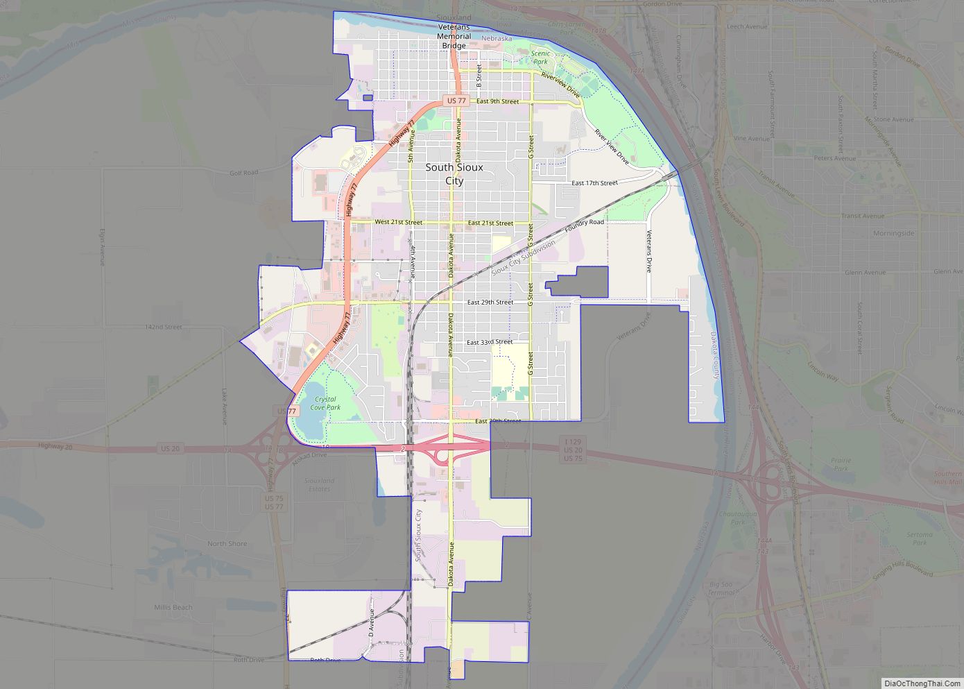
| Largest city: | South Sioux City |
| Total Area: | 267 sq mi (690 km²) |
| Land Area: | 264 sq mi (680 km²) |
| Total Population: | 21,241 |
| Population Density: | 76.5/sq mi (29.5/km²) |
| Time zone: | UTC−6 (Central) |
| Summer Time Zone (DST): | UTC−5 (CDT) |
| Website: | www.dakotacountyne.org |
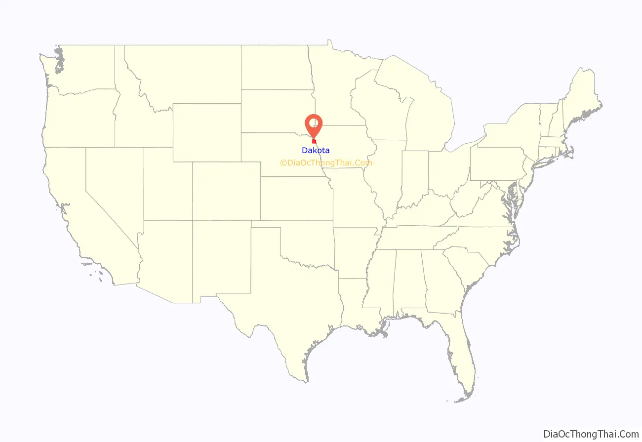
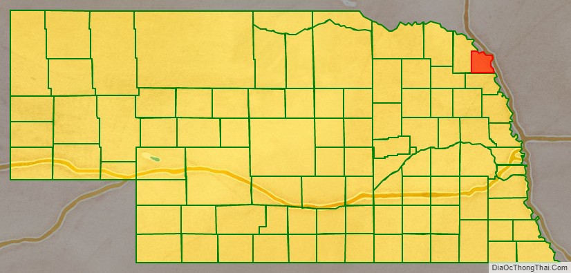
Dakota County location map. Where is Dakota County?
History
Succeeding cultures of indigenous peoples lived along the Missouri River for millennia. By 1775, the Omaha people had migrated west of the Missouri, where they established a major settlement, Ton-wa-tonga, (the Big Village). It had some 1100 residents. From here, the Omaha controlled fur trading on the upper Missouri River with other tribes and with French-Canadian traders, often called voyageurs. The Omaha were the first of the Northern Plains tribes to have adopted an equestrian culture.
Dakota County was formed by European-American settlers in 1855. They named it after the Dakota Sioux tribe, who were powerful in the area of Nebraska and South Dakota at the time. By this time, the Omaha were concentrated further south in what became the state of Nebraska.
In 1885, the county went to the United States Supreme Court in Dakota County v. Glidden over a dispute with issuing bonds.
As of May 2020, the county had the second-highest per capita COVID-19 infection rate of any American county. About one of every 14 residents has tested positive, mostly at Tyson’s large meat packing plant in Dakota City. There were 1452 cases reported as of May 11, 2020. This had increased by 4 July 2020, to 1634 cases, and 38 deaths, giving Dakota County the highest per capita death rate to that date.
Dakota County Road Map
Geography
Dakota County lies on the northeast line of the Nebraska state line. Its northeast boundary line abuts the southwest boundary lines of the states of South Dakota and Iowa, across the Missouri River. The county terrain consists of rolling prairies and bottom lands.
According to the US Census Bureau, the county has an area of 267 square miles (690 km), of which 264 square miles (680 km) is land and 3.2 square miles (8.3 km) (1.2%) is water. It is the second-smallest county in Nebraska by area.
Major highways
- Interstate 129
- U.S. Highway 20
- U.S. Highway 75
- U.S. Highway 77
- Nebraska Highway 9
- Nebraska Highway 12
- Nebraska Highway 35
- Nebraska Highway 110
Adjacent counties
- Union County, South Dakota – northeast
- Woodbury County, Iowa – east
- Thurston County – south
- Dixon County – west
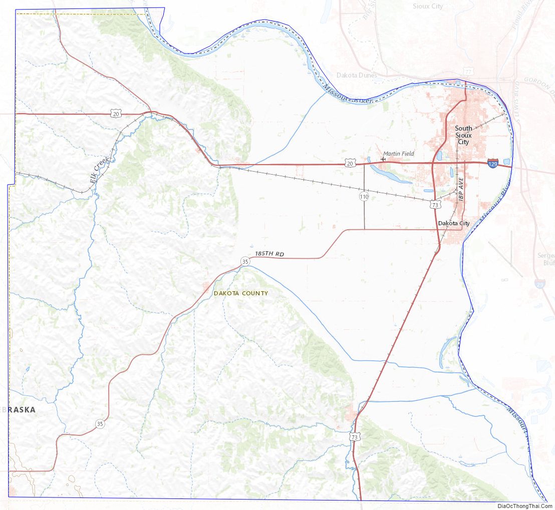
Dakota County Topographic Map
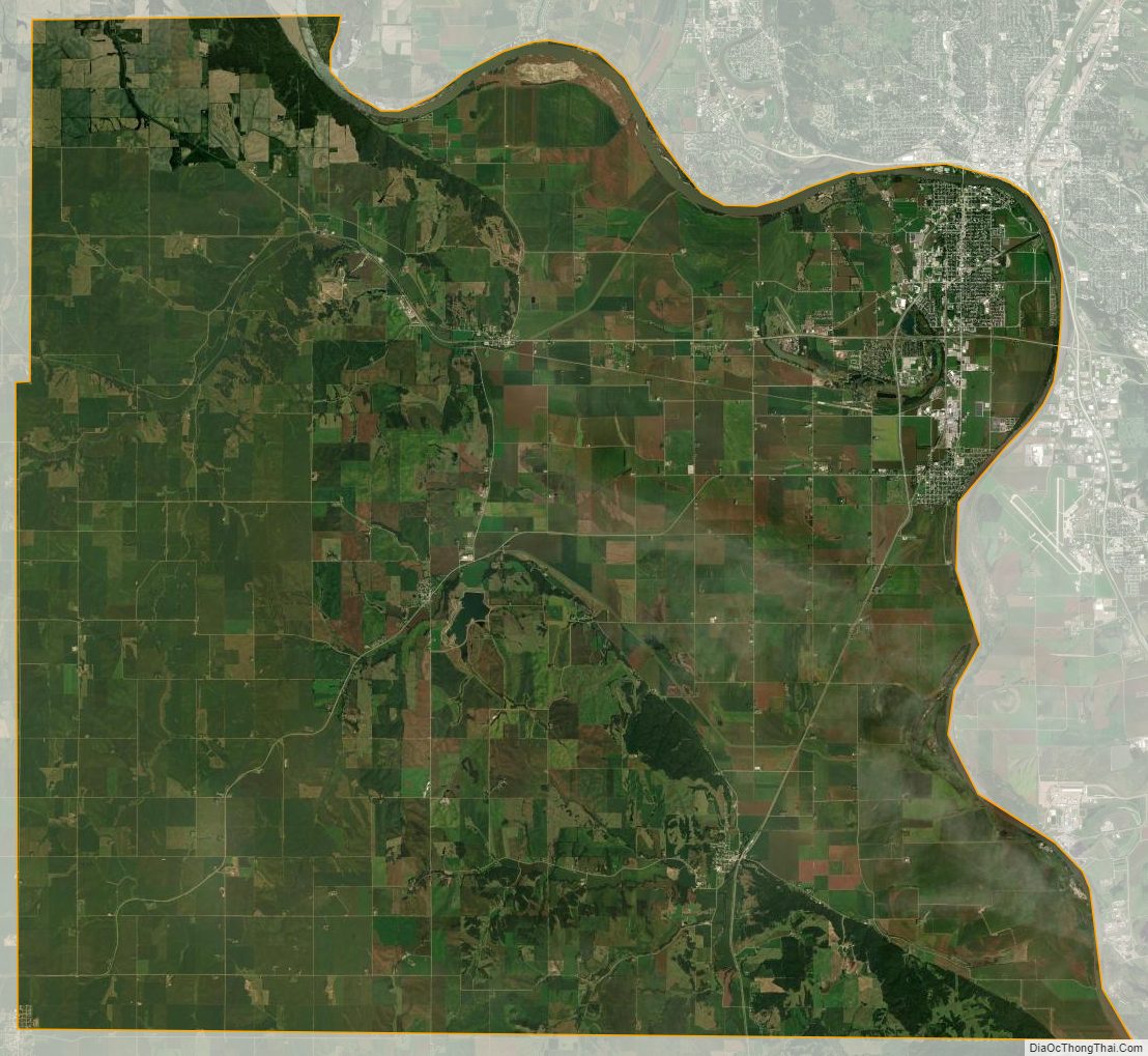
Dakota County Satellite Map
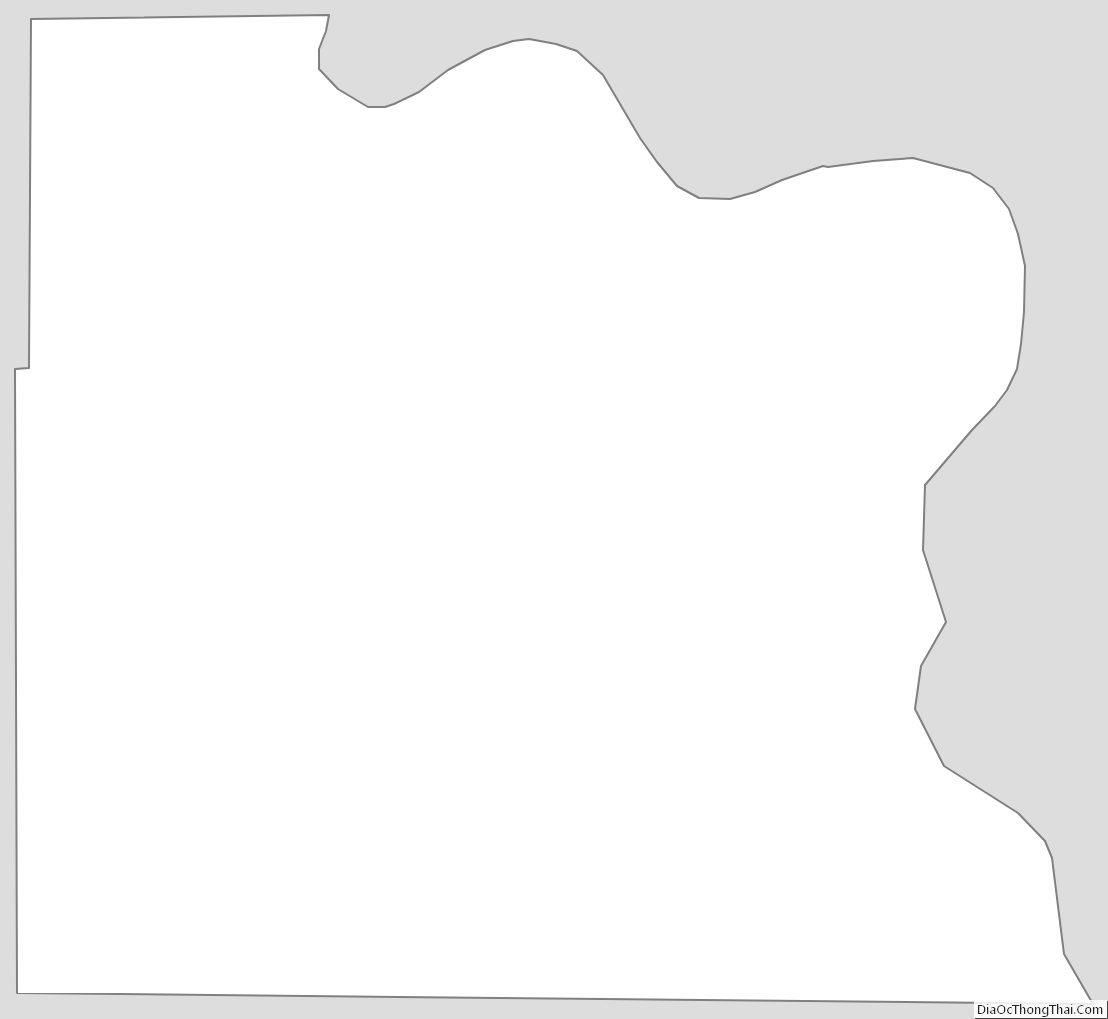
Dakota County Outline Map