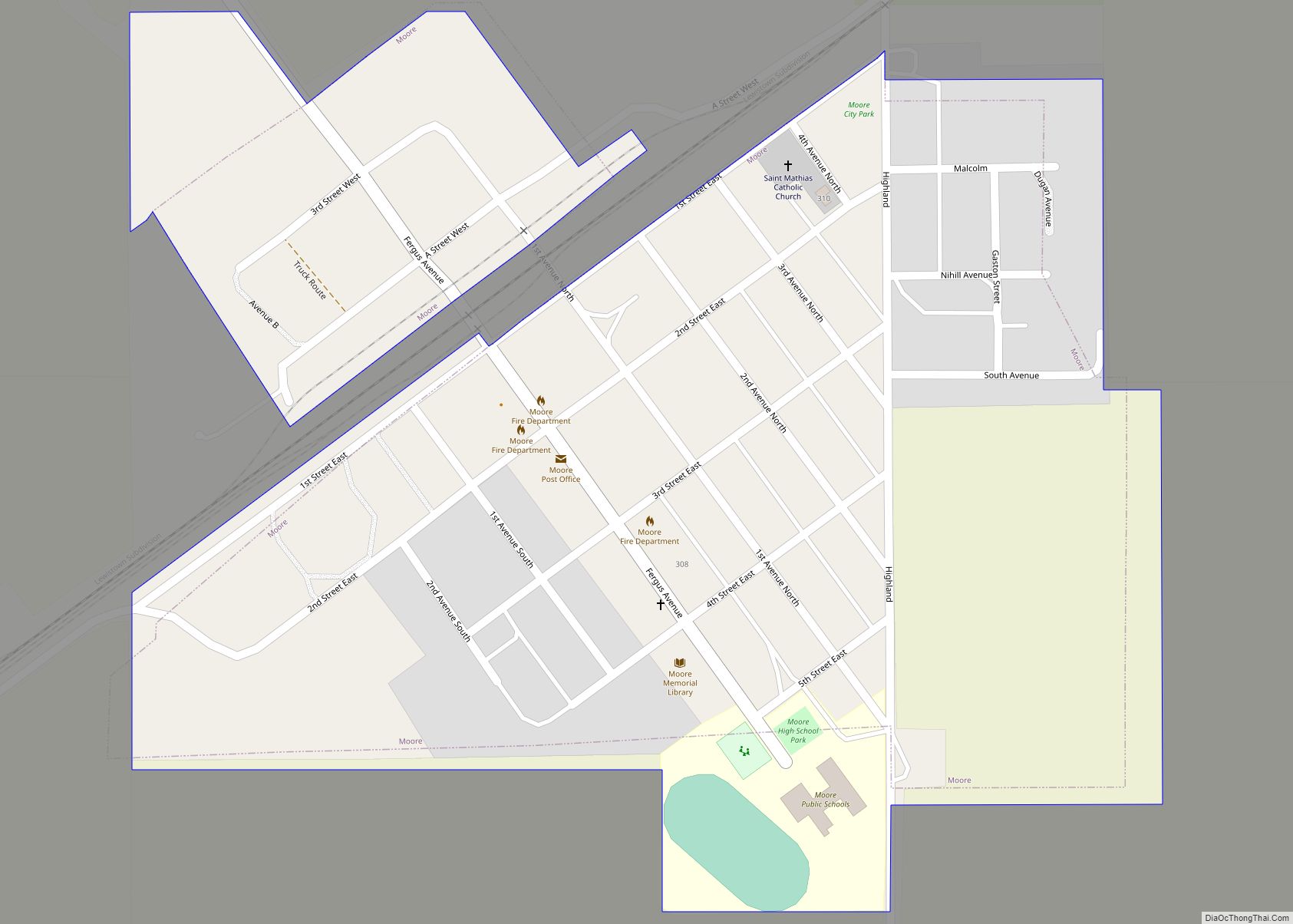
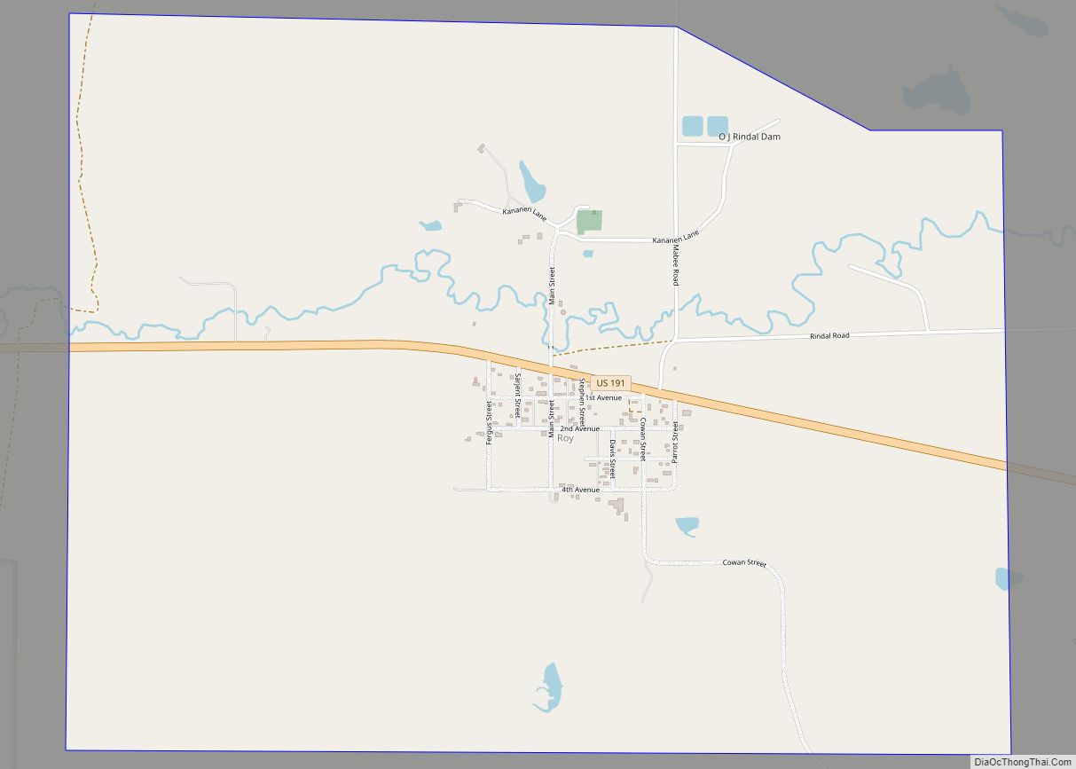
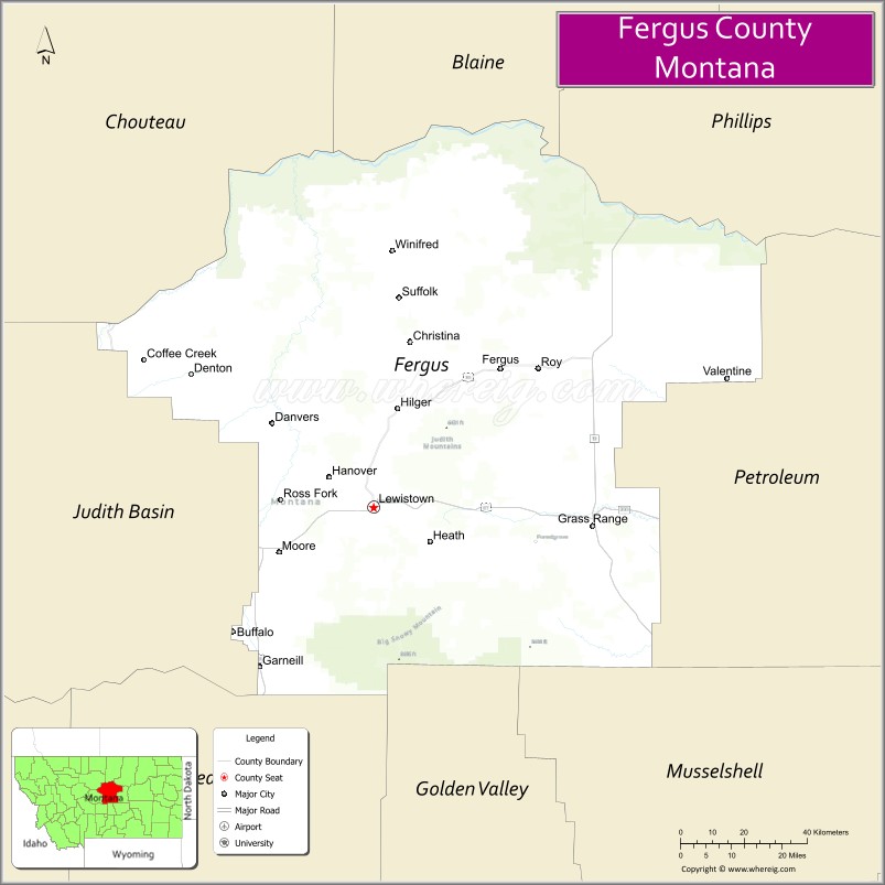
Fergus County is a county in the U.S. state of Montana. As of the 2020 census, the population was 11,446. Its county seat is Lewistown. The county was founded in 1885 and named for James Fergus, a Montana politician who was instrumental in creating the county.
| Name: | Fergus County |
|---|---|
| FIPS code: | 30-027 |
| State: | Montana |
| Founded: | 1885 |
| Named for: | James Fergus |
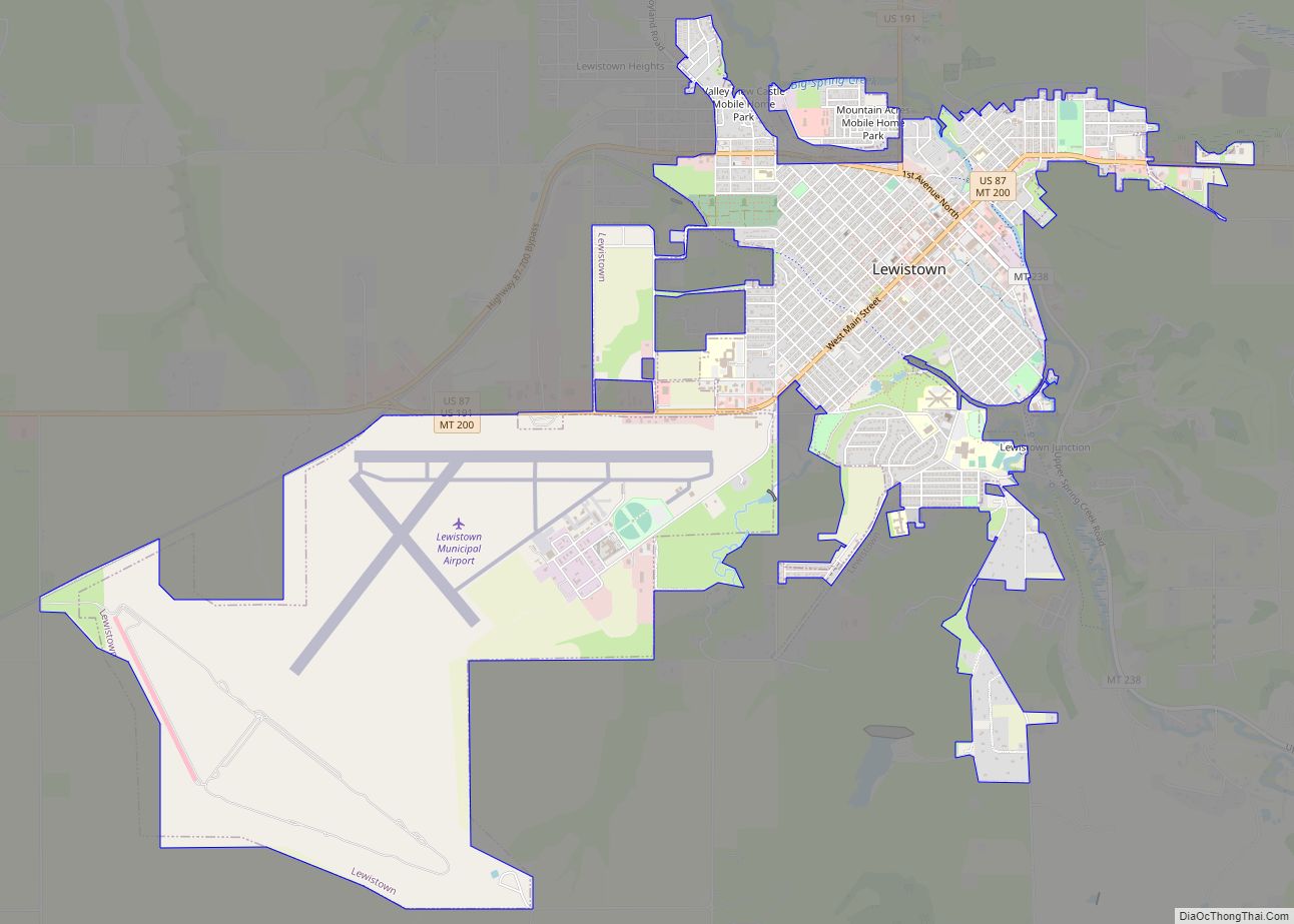
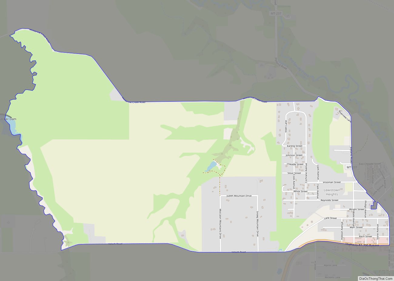
| Seat: | Lewistown |
| Largest city: | Lewistown |
| Total Area: | 4,350 sq mi (11,300 km²) |
| Land Area: | 4,340 sq mi (11,200 km²) |
| Total Population: | 11,446 |
| Population Density: | 2.6/sq mi (1.0/km²) |
| Time zone: | UTC−7 (Mountain) |
| Summer Time Zone (DST): | UTC−6 (MDT) |
| Website: | www.co.fergus.mt.us |
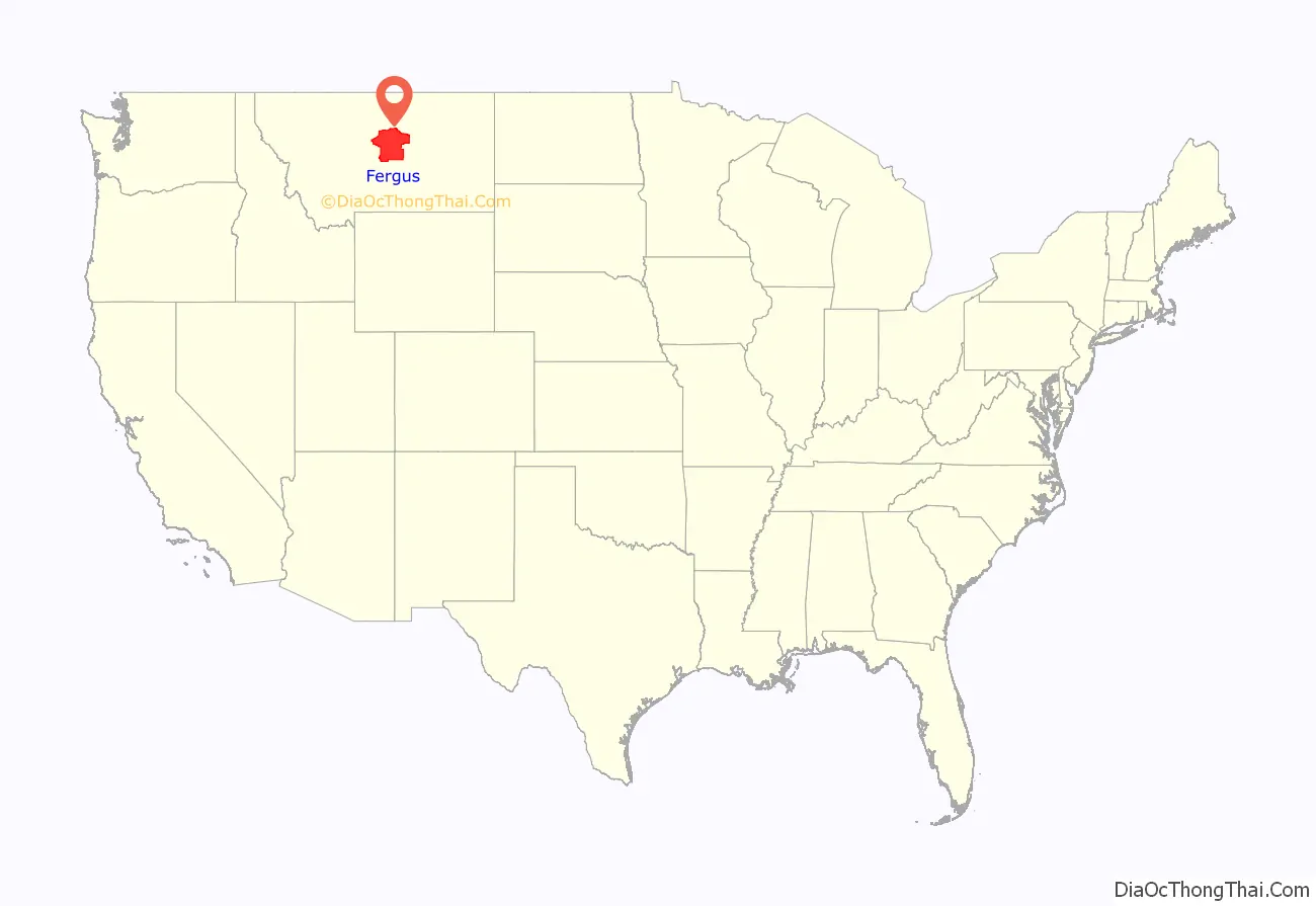
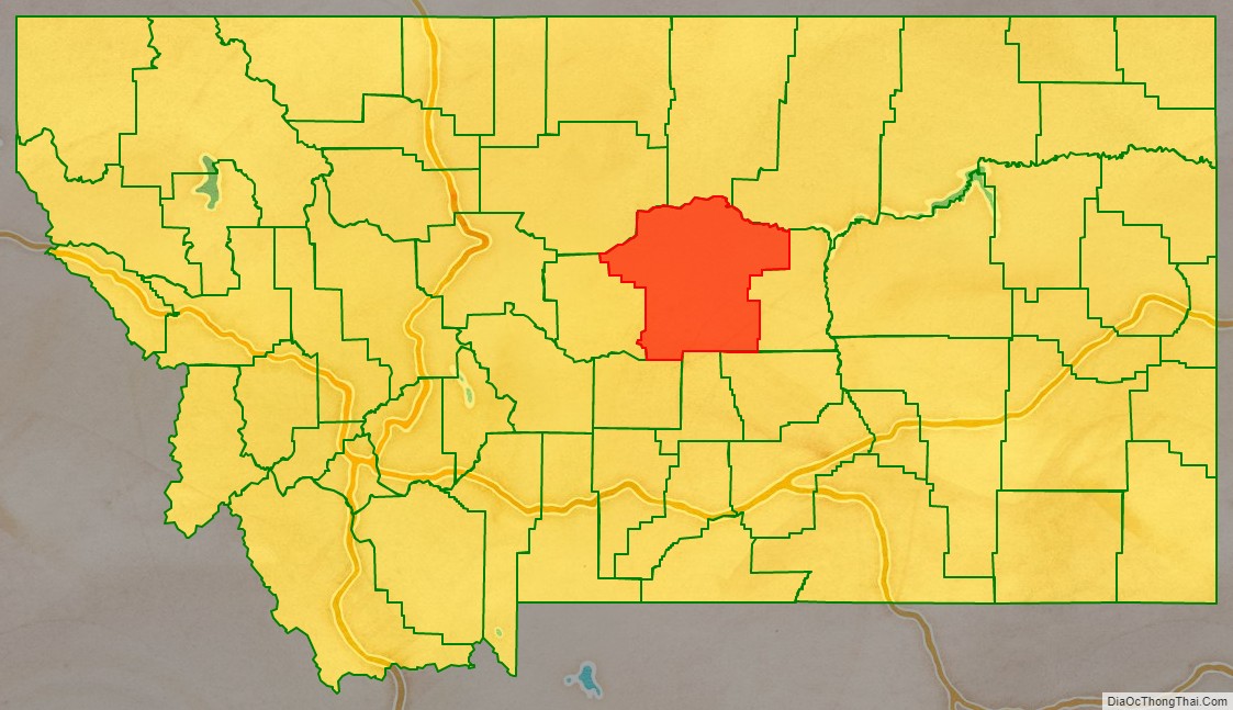
Fergus County location map. Where is Fergus County?
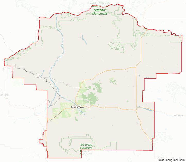
Fergus County Road Map
Geography
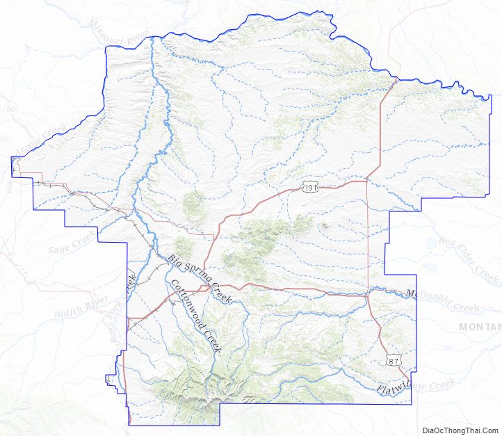
According to the United States Census Bureau, the county has a total area of 4,350 square miles (11,300 km), of which 4,340 square miles (11,200 km) is land and 11 square miles (28 km) (0.2%) is water.
Adjacent counties
- Chouteau County – northwest
- Blaine County – north
- Phillips County – northeast
- Petroleum County – east
- Musselshell County – southeast
- Golden Valley County – south
- Wheatland County – southwest
- Judith Basin County – west
Major highways
- U.S. Highway 87
- U.S. Highway 191
- Montana Highway 3
- Montana Highway 80
- Montana Highway 81
- Montana Highway 200
National protected areas
- Charles M. Russell National Wildlife Refuge (part)
- Lewis and Clark National Forest (part)
- Upper Missouri River Breaks National Monument (part)
Military Installations
- LGM-30 Minuteman silos D-01 thru D-11 of the 10th Missile Squadron, 341st Missile Wing, 20th Air Force, assigned to Malmstrom AFB, Montana
Fergus County Topographic Map
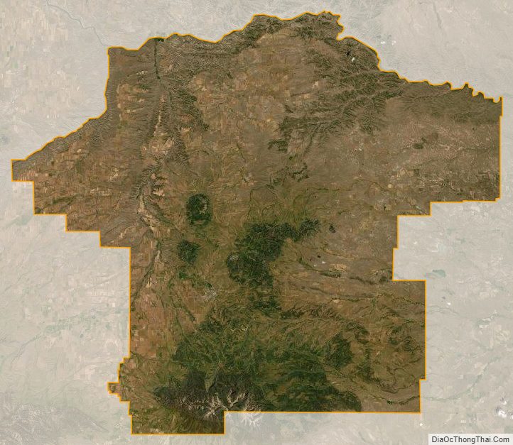
Fergus County Satellite Map
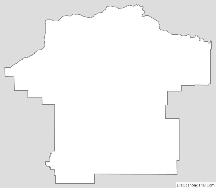
Fergus County Outline Map