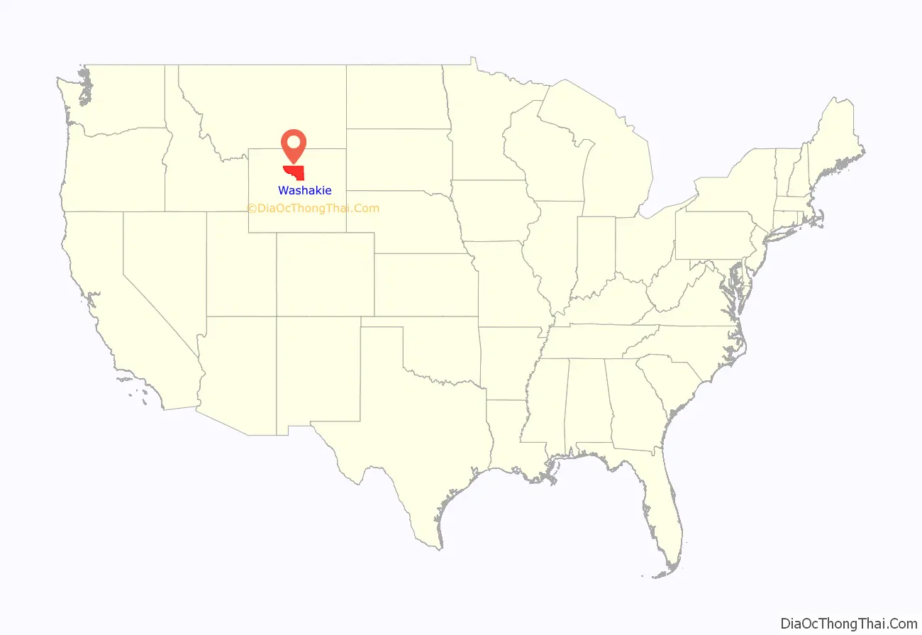
Washakie County is a county in the U.S. state of Wyoming. As of the 2020 United States Census, the population was 7,685. Its county seat is Worland.
| Name: | Washakie County |
|---|---|
| FIPS code: | 56-043 |
| State: | Wyoming |
| Founded: | February 21, 1911 (authorized) 1913 (organized) |
| Named for: | Chief Washakie |
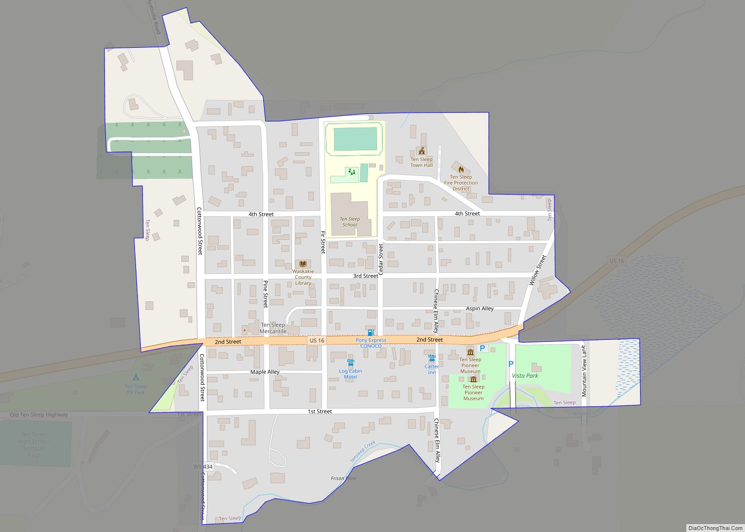
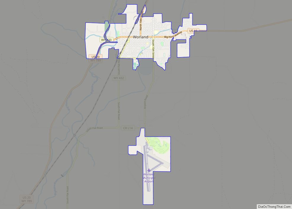
| Seat: | Worland |
| Largest city: | Worland |
| Total Area: | 2,243 sq mi (5,810 km²) |
| Land Area: | 2,239 sq mi (5,800 km²) |
| Total Population: | 7,685 |
| Population Density: | 3.4/sq mi (1.3/km²) |
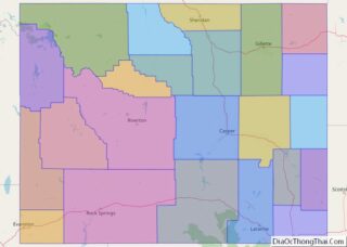
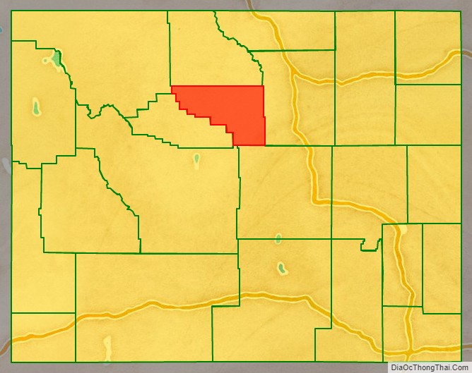
Washakie County location map. Where is Washakie County?
History
Washakie County was created on February 21, 1911, as Hanover County with land detached from Big Horn County and organized in 1913. The bill for creating the county initially named it “Hanover County”, but it was renamed before the bill passed to Washakie County for the head chief of the Shoshone people, Chief Washakie, who became an ally of the US Government.
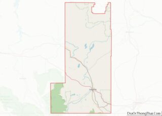
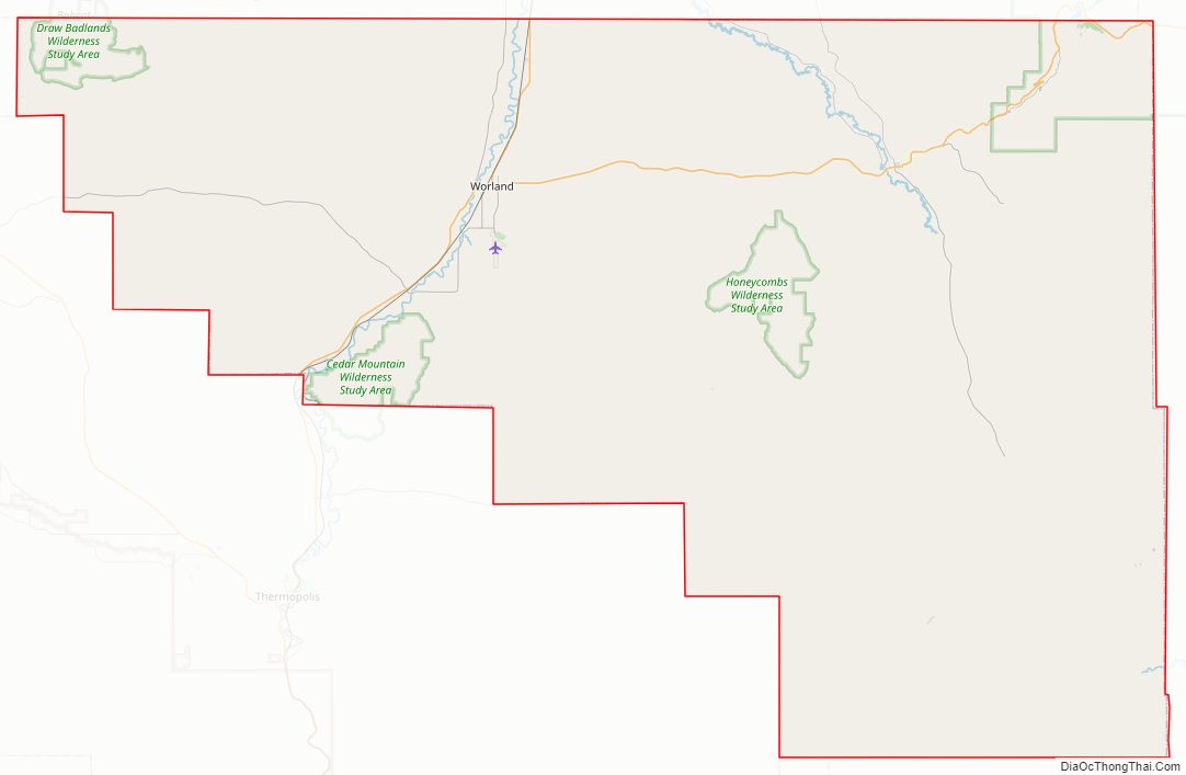
Washakie County Road Map
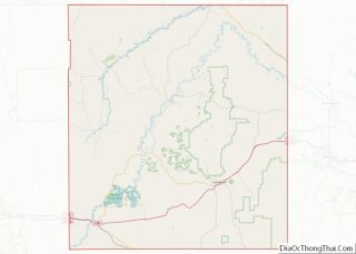
Geography
According to the US Census Bureau, the county has a total area of 2,243 square miles (5,810 km), of which 2,239 square miles (5,800 km) is land and 4.2 square miles (11 km) (0.2%) is water.
Adjacent counties
- Big Horn County – north
- Johnson County – east
- Natrona County – southeast
- Fremont County – south
- Hot Springs County – west
- Park County – northwest
National protected area
- Bighorn National Forest (part)
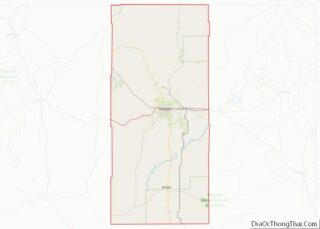
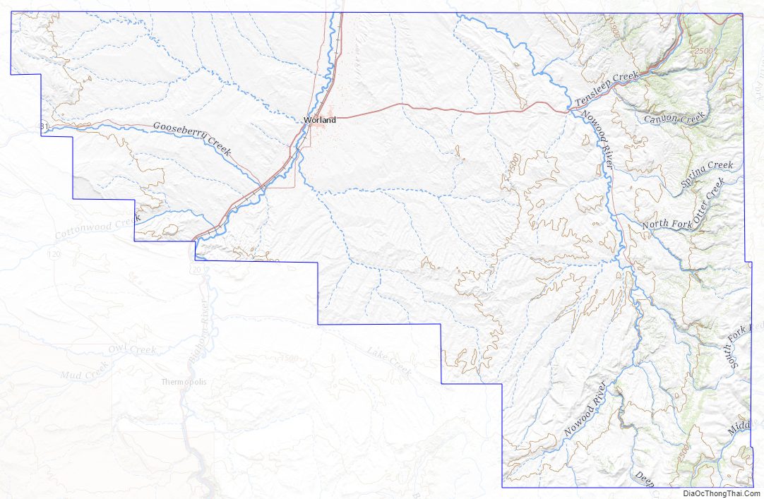
Washakie County Topographic Map
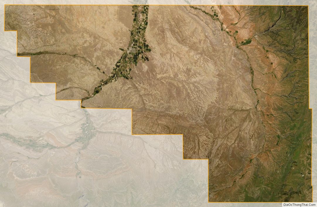
Washakie County Satellite Map
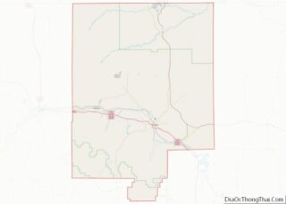
Washakie County Outline Map