| Name: | Fremont County |
|---|---|
| FIPS code: | 56-013 |
| State: | Wyoming |
| Founded: | March 5, 1884 |
| Named for: | John C. Frémont |
| Seat: | Lander |
| Largest city: | Riverton |
| Total Area: | 9,266 sq mi (24,000 km²) |
| Land Area: | 9,184 sq mi (23,790 km²) |
| Total Population: | 39,234 |
| Population Density: | 4.2/sq mi (1.6/km²) |
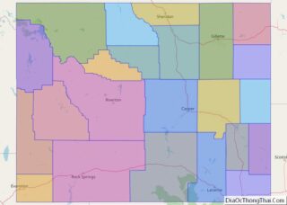
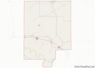
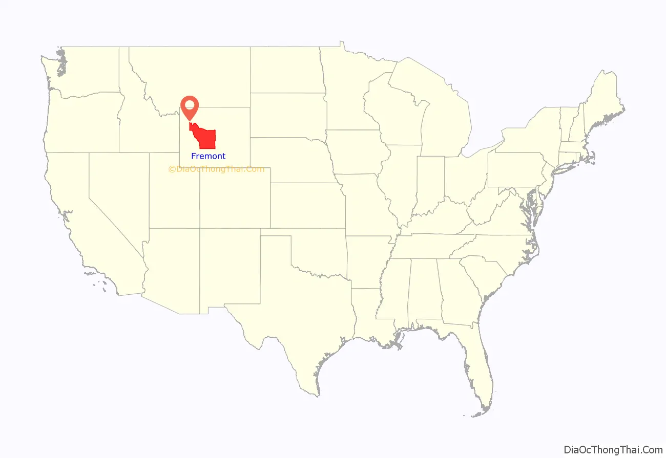
Fremont County location map. Where is Fremont County?
History
Fremont County was created on March 5, 1884 by the legislature of the Wyoming Territory. The county was created with land ceded by Sweetwater County. In 1890, Big Horn County was carved out of Fremont, Johnson, and Sheridan Counties. Hot Springs County was created in 1911 from parts of Fremont, Big Horn, and Park counties. In 1921, Sublette County was created from parts of Fremont and Lincoln counties, leaving Fremont County’s boundary at its present configuration.
Fremont County was named for John Charles Frémont, an explorer of the American West, United States Senator from California, and 1856 Republican presidential candidate. Fremont County is the site of the Wind River Indian Reservation, home of the Eastern Shoshone and Northern Arapaho tribes of Native Americans.
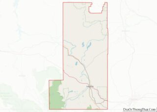
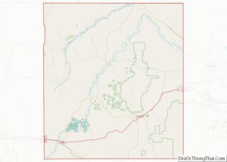
Fremont County Road Map
Geography
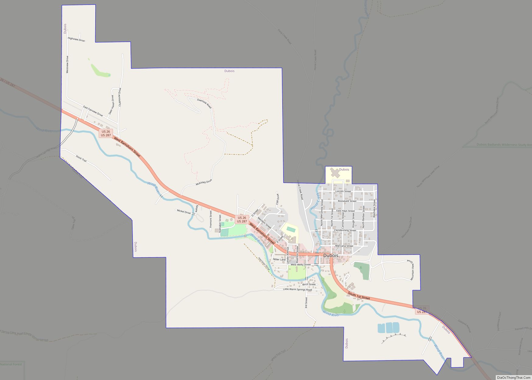
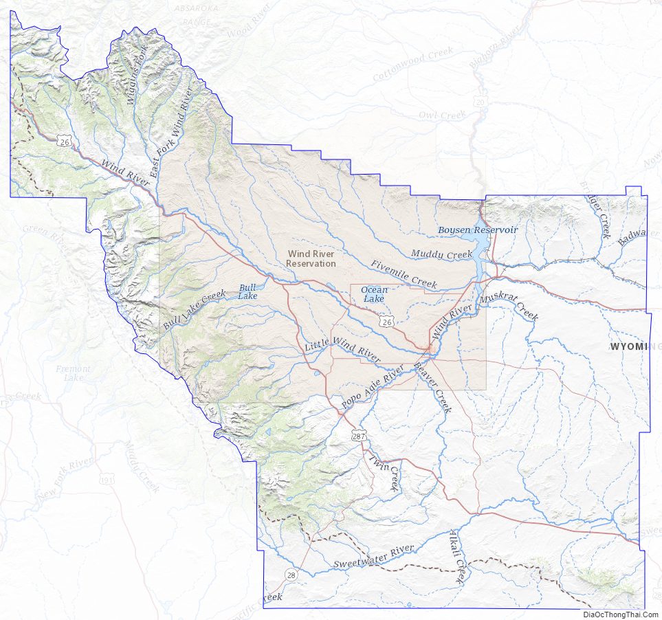
According to the U.S. Census Bureau, the county has a total area of 9,266 square miles (24,000 km), of which 9,184 square miles (23,790 km) is land and 82 square miles (210 km) (0.9%) is water. It is the second-largest county by area in Wyoming, as well as in the six Rocky Mountain States. Elevations and climate range from desert at Boysen State Park to glaciers at 13,804-foot (4,207 m) Gannett Peak, the highest point not only in Wyoming but in the three Central Rockies states of Wyoming, Idaho and Montana. The southern end of the county is traversed by the Oregon Trail and in the northwest corner lies Dubois, a gateway town for Yellowstone National Park and Grand Teton National Park. Although the county seat is Lander, the largest community is Riverton, home of Central Wyoming College and the economic hub of the region. A large portion of the western edge of the county follows the Continental Divide at the crest of the Wind River Range of the Rocky Mountains, known for its wilderness areas and home of the largest glaciers in the American Rocky Mountains.
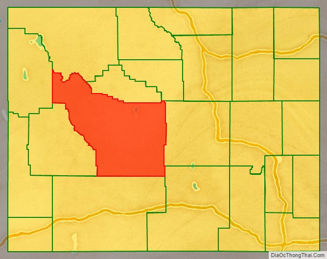
Adjacent counties
Major Highways
- U.S. Highway 20
- U.S. Highway 26
- U.S. Highway 287
- Wyoming Highway 28
- Wyoming Highway 131
- Wyoming Highway 132
- Wyoming Highway 133
- Wyoming Highway 134
- Wyoming Highway 135
- Wyoming Highway 136
- Wyoming Highway 137
- Wyoming Highway 138
National protected areas
- Bridger National Forest (part)
- Shoshone National Forest (part)
- Teton National Forest (part)
The Bridger National Forest and the Teton National Forest have been administratively combined into the Bridger-Teton National Forest. Fremont County contains portions of both originally-designated forests.
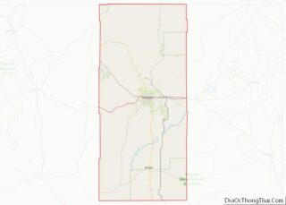
Fremont County Topographic Map
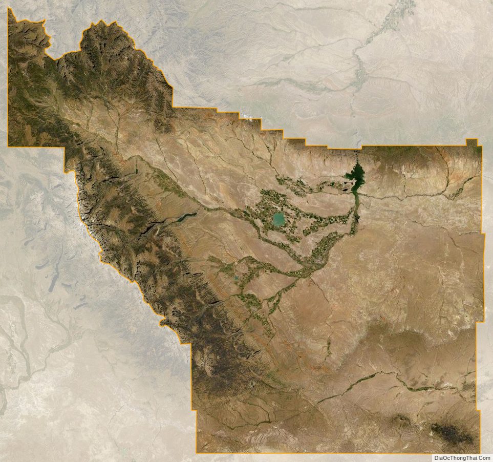
Fremont County Satellite Map
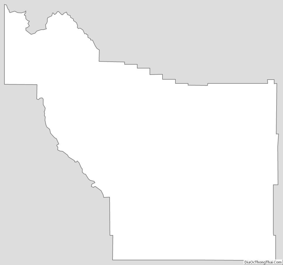
Fremont County Outline Map