Louisville (pronounced LEW-iss-vill) is a city in Winston County, Mississippi. The population was 6,631 at the 2010 census. It is the county seat of Winston County.
| Name: | Louisville city |
|---|---|
| LSAD Code: | 25 |
| LSAD Description: | city (suffix) |
| State: | Mississippi |
| County: | Winston County |
| Elevation: | 571 ft (174 m) |
| Total Area: | 15.27 sq mi (39.56 km²) |
| Land Area: | 15.10 sq mi (39.10 km²) |
| Water Area: | 0.18 sq mi (0.46 km²) |
| Total Population: | 6,072 |
| Population Density: | 402.17/sq mi (155.28/km²) |
| ZIP code: | 39339 |
| Area code: | 662 |
| FIPS code: | 2842280 |
| GNISfeature ID: | 0693835 |
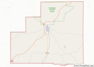
Online Interactive Map
Click on ![]() to view map in "full screen" mode.
to view map in "full screen" mode.
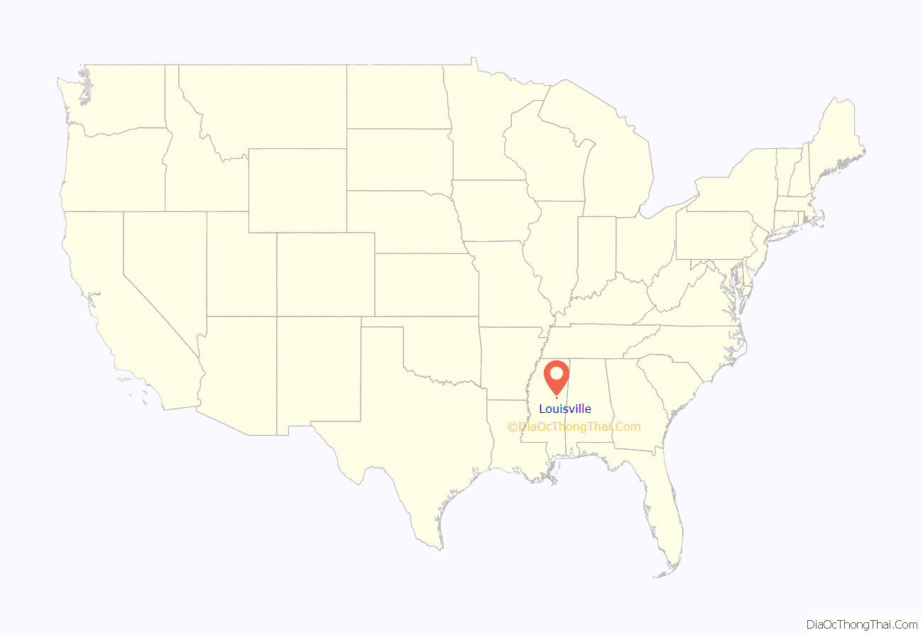
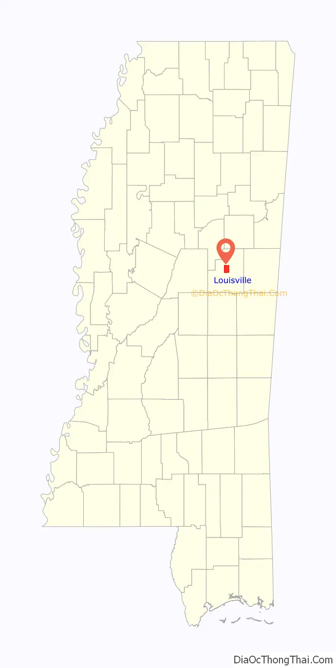
Louisville location map. Where is Louisville city?
History
Like Winston County, Louisville is named for Louis Winston (1784–1824), a colonel in the militia, a prominent lawyer, and a judge of the Mississippi Supreme Court. In 1863 Union Colonel Benjamin Grierson marched 900 troops through Louisville during his raid through Mississippi. There was no fighting in Winston County.
In 1927, a mob of 1,000 white men from Louisville, lynched two African-Americans, Jim and Mark Fox by wrapping them in barbed wire and setting them on fire. The Foxes were accused of killing Clarence Nichols, a white man who started a fight with them because they would not let him pass their Ford touring car in his Chevrolet.
On April 28, 2014, Louisville was hit by an EF4 tornado, resulting in ten fatalities.
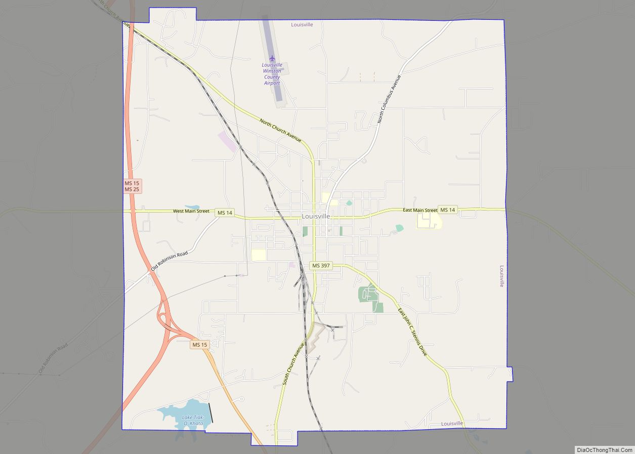
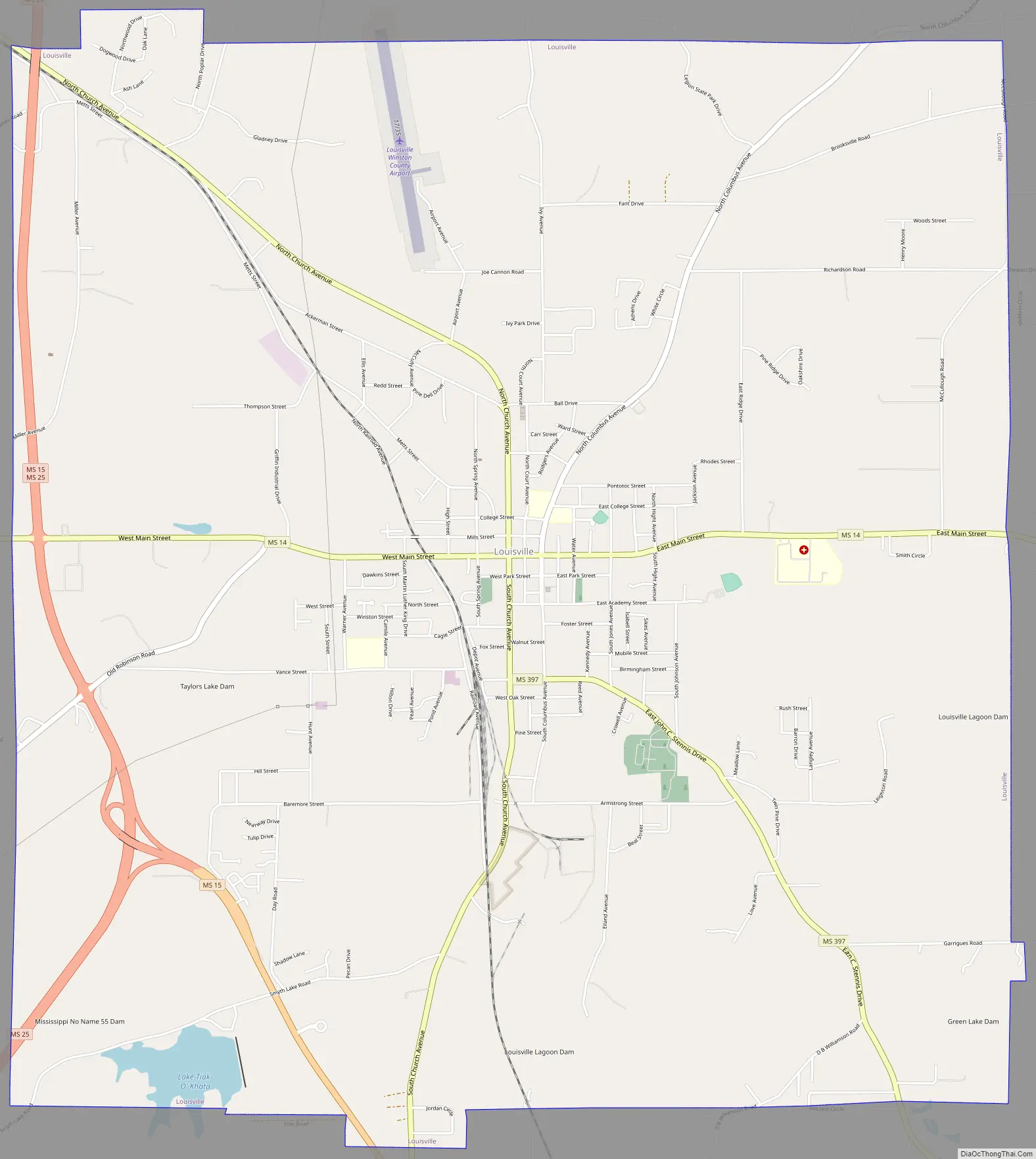
Louisville Road Map
Louisville city Satellite Map

Geography
Louisville is located at 33°7′23″N 89°3′22″W / 33.12306°N 89.05611°W / 33.12306; -89.05611 (33.122931, -89.056182). According to the United States Census Bureau, the city has a total area of 15.3 square miles (40 km), of which 15.1 square miles (39 km) is land and 0.2 square miles (0.52 km) (1.44%) is water. It is known by many as the “Front porch of the South”.
See also
Map of Mississippi State and its subdivision:- Adams
- Alcorn
- Amite
- Attala
- Benton
- Bolivar
- Calhoun
- Carroll
- Chickasaw
- Choctaw
- Claiborne
- Clarke
- Clay
- Coahoma
- Copiah
- Covington
- Desoto
- Forrest
- Franklin
- George
- Greene
- Grenada
- Hancock
- Harrison
- Hinds
- Holmes
- Humphreys
- Issaquena
- Itawamba
- Jackson
- Jasper
- Jefferson
- Jefferson Davis
- Jones
- Kemper
- Lafayette
- Lamar
- Lauderdale
- Lawrence
- Leake
- Lee
- Leflore
- Lincoln
- Lowndes
- Madison
- Marion
- Marshall
- Monroe
- Montgomery
- Neshoba
- Newton
- Noxubee
- Oktibbeha
- Panola
- Pearl River
- Perry
- Pike
- Pontotoc
- Prentiss
- Quitman
- Rankin
- Scott
- Sharkey
- Simpson
- Smith
- Stone
- Sunflower
- Tallahatchie
- Tate
- Tippah
- Tishomingo
- Tunica
- Union
- Walthall
- Warren
- Washington
- Wayne
- Webster
- Wilkinson
- Winston
- Yalobusha
- Yazoo
- Alabama
- Alaska
- Arizona
- Arkansas
- California
- Colorado
- Connecticut
- Delaware
- District of Columbia
- Florida
- Georgia
- Hawaii
- Idaho
- Illinois
- Indiana
- Iowa
- Kansas
- Kentucky
- Louisiana
- Maine
- Maryland
- Massachusetts
- Michigan
- Minnesota
- Mississippi
- Missouri
- Montana
- Nebraska
- Nevada
- New Hampshire
- New Jersey
- New Mexico
- New York
- North Carolina
- North Dakota
- Ohio
- Oklahoma
- Oregon
- Pennsylvania
- Rhode Island
- South Carolina
- South Dakota
- Tennessee
- Texas
- Utah
- Vermont
- Virginia
- Washington
- West Virginia
- Wisconsin
- Wyoming