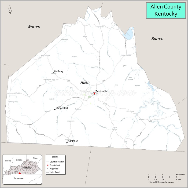
Allen County is a county located in the U.S. state of Kentucky. As of the 2020 census, the population was 20,588. Its county seat is Scottsville. The county is named for Colonel John Allen, a state senator and soldier who was killed leading the 1st Regiment of Kentucky Rifleman at the Battle of Frenchtown, Michigan during the War of 1812. Allen County practices the prohibition of alcohol and is a completely dry county. It was formed in 1815 from parts of Barren and Warren counties. Allen County is included in the Bowling Green, KY Metropolitan Statistical Area.
| Name: | Allen County |
|---|---|
| FIPS code: | 21-003 |
| State: | Kentucky |
| Founded: | 1815 |
| Named for: | John Allen |
| Seat: | Scottsville |
| Largest city: | Scottsville |
| Total Area: | 352 sq mi (910 km²) |
| Land Area: | 344 sq mi (890 km²) |
| Total Population: | 20,588 |
| Population Density: | 58/sq mi (23/km²) |
| Time zone: | UTC−6 (Central) |
| Summer Time Zone (DST): | UTC−5 (CDT) |
| Website: | www.allencountykentucky.com |
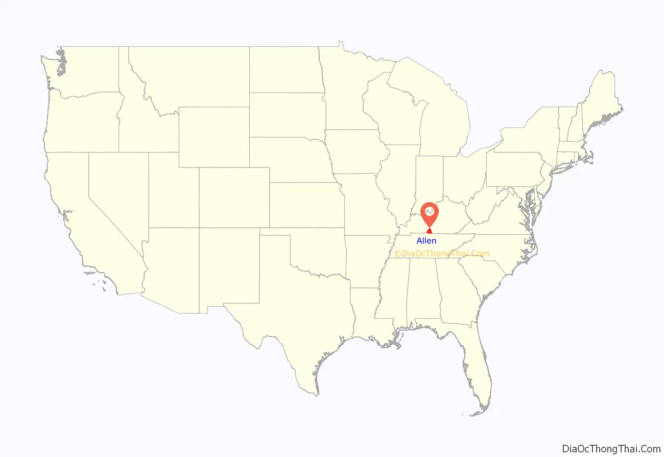
Allen County location map. Where is Allen County?
History
Allen County was established in 1815 from land given by Barren and Warren counties. A courthouse fire in 1902 resulted in the loss of some county records.
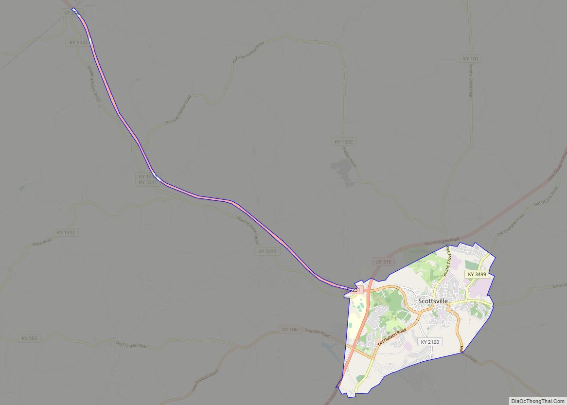
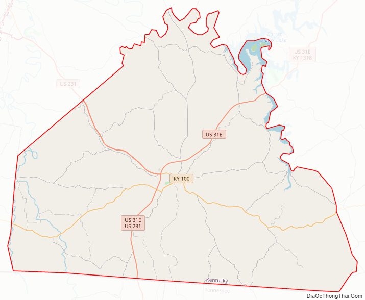
Allen County Road Map
Geography
According to the United States Census Bureau, the county has a total area of 352 square miles (910 km), of which 344 square miles (890 km) is land and 7.5 square miles (19 km) (2.1%) is water.
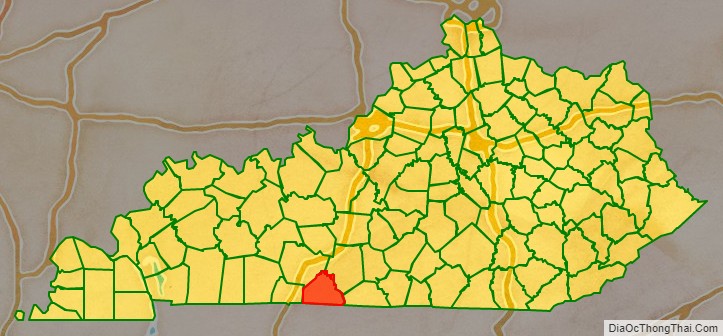
Adjacent counties
- Warren County northwest
- Barren County northeast
- Monroe County east
- Macon County, Tennessee southeast
- Sumner County, Tennessee southwest
- Simpson County west
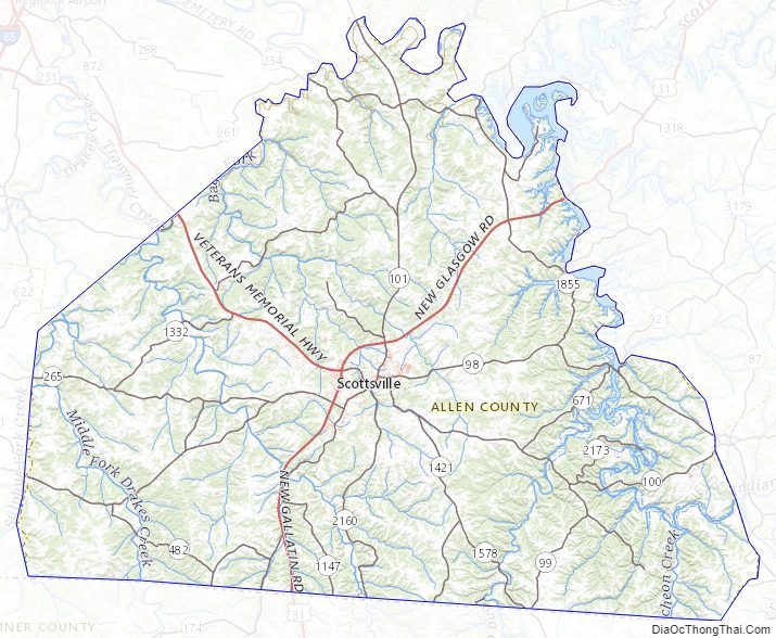
Allen County Topographic Map
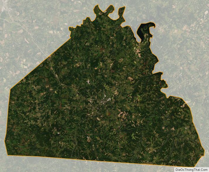
Allen County Satellite Map
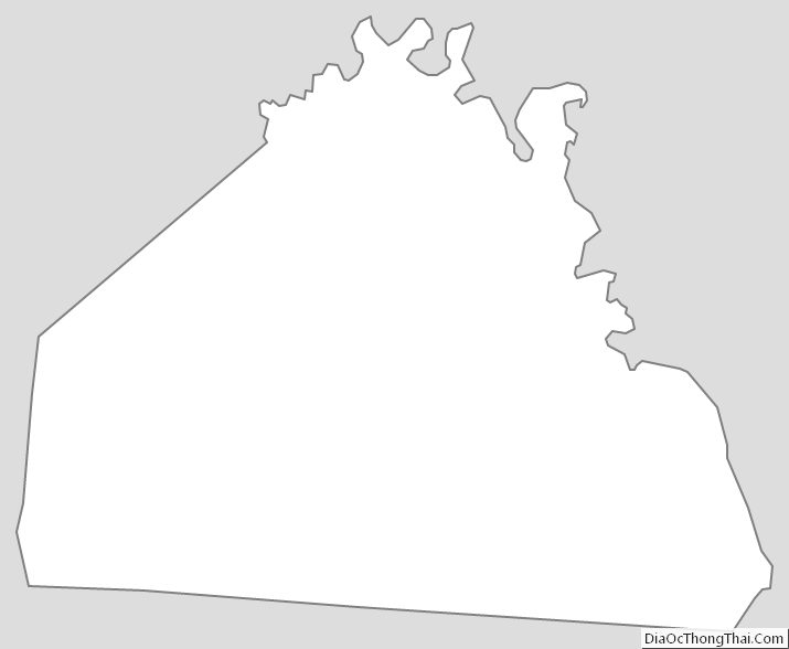
Allen County Outline Map