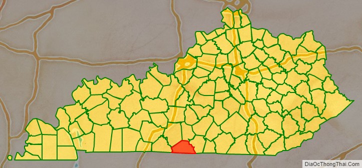
Monroe County is a county located in the Eastern Pennyroyal Plateau region of the U.S. state of Kentucky. Its county seat is Tompkinsville. The county is named for President James Monroe. It is a prohibition or dry county.
| Name: | Monroe County |
|---|---|
| FIPS code: | 21-171 |
| State: | Kentucky |
| Founded: | 1820 |
| Named for: | James Monroe |
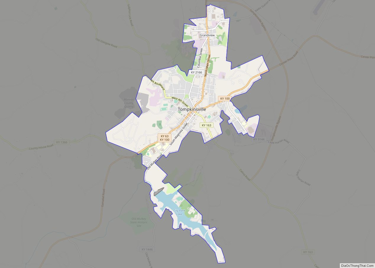
| Seat: | Tompkinsville |
| Largest city: | Tompkinsville |
| Total Area: | 332 sq mi (860 km²) |
| Land Area: | 329 sq mi (850 km²) |
| Total Population: | 11,338 |
| Population Density: | 34/sq mi (13/km²) |
| Time zone: | UTC−6 (Central) |
| Summer Time Zone (DST): | UTC−5 (CDT) |
| Website: | www.monroecounty.ky.gov |
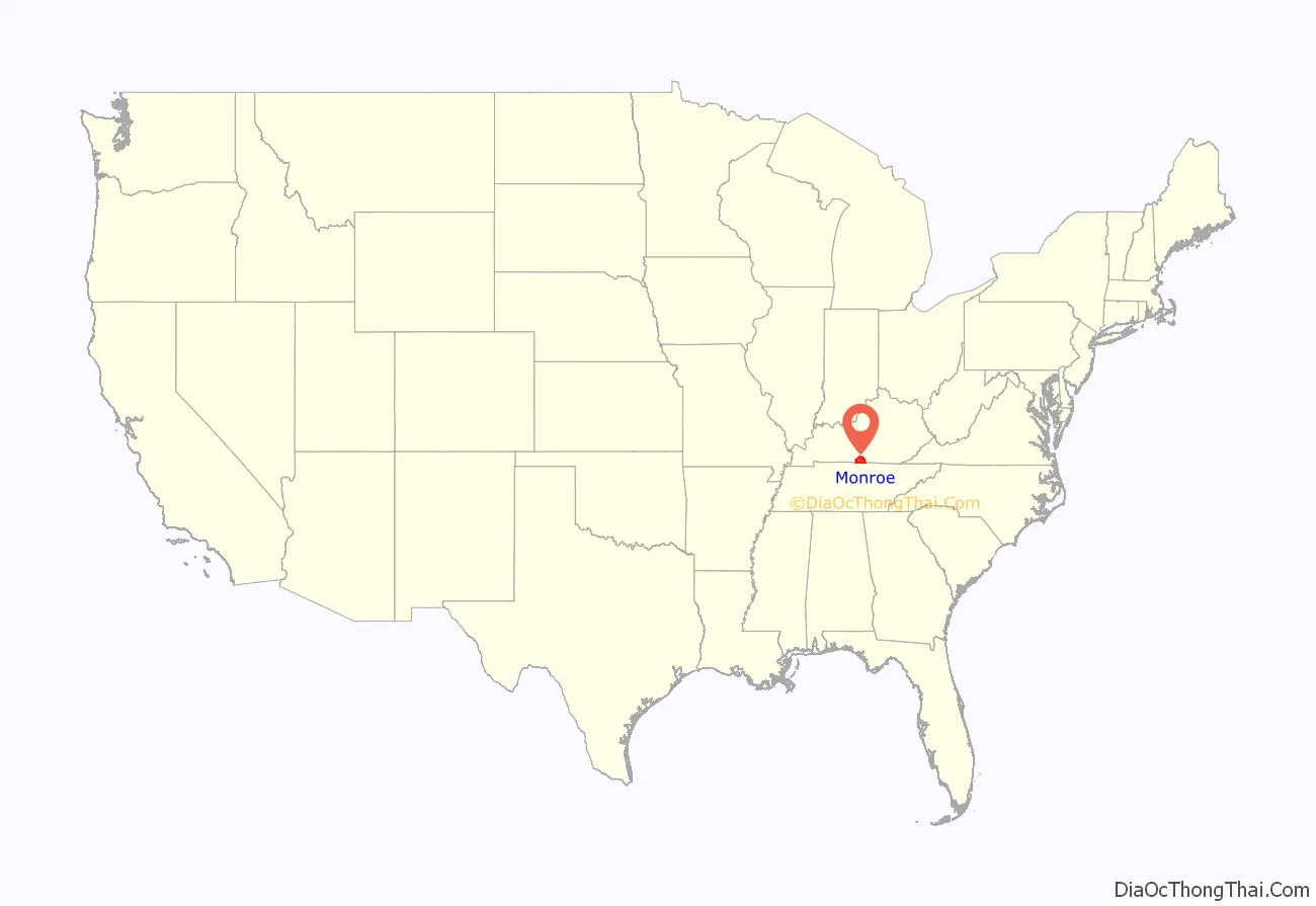
Monroe County location map. Where is Monroe County?
History
Monroe County is the only county of the 3,144 in the United States named for a President where the county seat is named for his Vice-President. The county was formed in 1820; and named for James Monroe the fifth President, author of the Monroe Doctrine. The county seat was named for Daniel Tompkins. They both served from 1817 to 1825.
Confederate Gen. John Hunt Morgan’s first Kentucky raid occurred here on July 9, 1862. Morgan’s Raiders, coming from Tennessee, attacked Major Thomas J. Jordan’s 9th Pennsylvania Cavalry at USA garrison. Raiders captured 30 Union soldiers and destroyed tents and stores. They took 20 wagons, 50 mules, 40 horses, sugar and coffee supplies. At Glasgow they burned supplies, then went north, raiding 16 other towns before returning to Tennessee.
President Abraham Lincoln’s half third cousin, Thomas Lincoln (1780–1844), lived in the Meshack Creek area of present-day Monroe County and served two terms as constable of Cumberland County in 1802 and 1804. In 1810 he left Kentucky and migrated to Ohio and Indiana. In 1799 he married Patsy Gee from Meshack Creek.
Home of the Old Mulkey Meetinghouse State Historic Site. The 20-acre (81,000 m) park features the oldest log meetinghouse in Kentucky, built in 1804 during a period of religious revival. Many Revolutionary War soldiers and pioneers, including Daniel Boone’s sister, Hannah, are buried there. The structure has twelve corners in the shape of a cross and three doors, symbolic of the Holy Trinity. The Old Mulkey Church, originally called the Mill Creek Baptist Church, was established by a small band of pioneer Baptists from North and South Carolina and led by Philip Mulkey. The site became part of the park system in 1931.
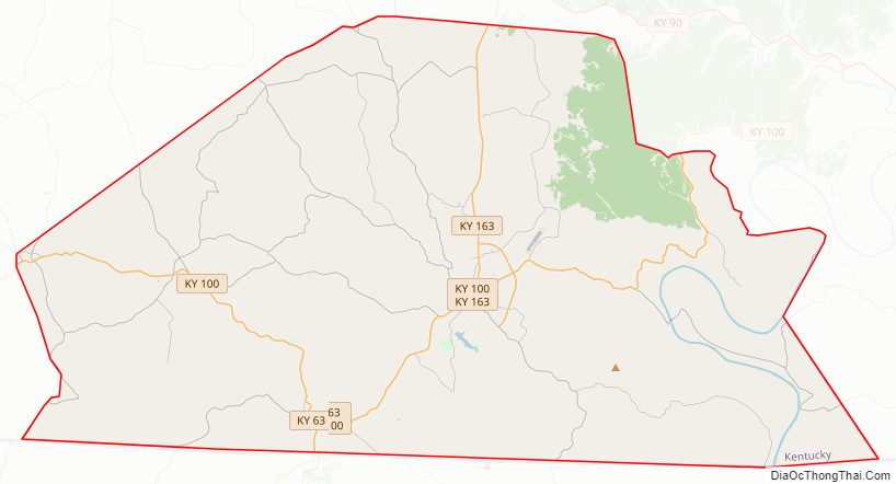
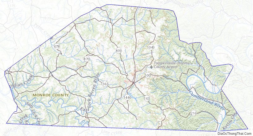
Monroe County Road Map
Geography
According to the U.S. Census Bureau, the county has a total area of 332 square miles (860 km), of which 329 square miles (850 km) is land and 2.7 square miles (7.0 km) (0.8%) is water.
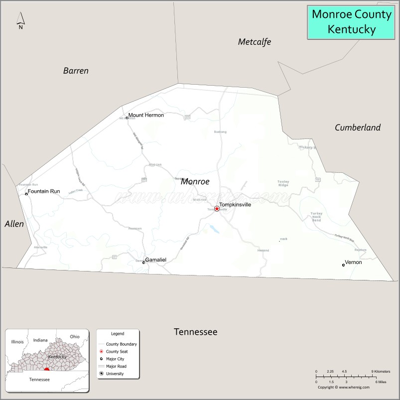
Adjacent counties
- Barren County (northwest)
- Metcalfe County (northeast)
- Cumberland County (east)
- Clay County, Tennessee (southeast)
- Macon County, Tennessee (southwest)
- Allen County (west)
Monroe County Topographic Map
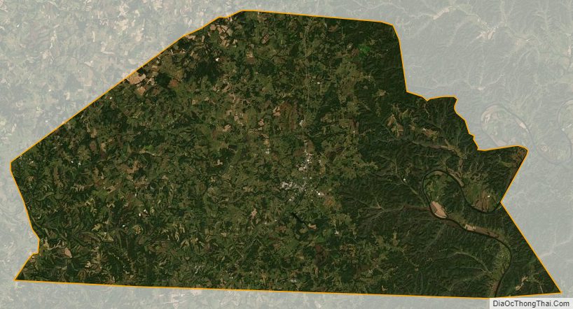
Monroe County Satellite Map
Monroe County Outline Map