Scottsville is a home rule-class city in Allen County, Kentucky, in the United States. It is the seat of its county. The population was 4,226 during the 2010 U.S. Census.
| Name: | Scottsville city |
|---|---|
| LSAD Code: | 25 |
| LSAD Description: | city (suffix) |
| State: | Kentucky |
| County: | Allen County |
| Incorporated: | 1860 |
| Elevation: | 761 ft (232 m) |
| Total Area: | 6.31 sq mi (16.36 km²) |
| Land Area: | 6.30 sq mi (16.32 km²) |
| Water Area: | 0.01 sq mi (0.03 km²) |
| Total Population: | 4,299 |
| Population Density: | 682.06/sq mi (263.35/km²) |
| ZIP code: | 42164 |
| Area code: | 270 & 364 |
| FIPS code: | 2169114 |
| GNISfeature ID: | 0503118 |
| Website: | www.scottsvilleky.org |
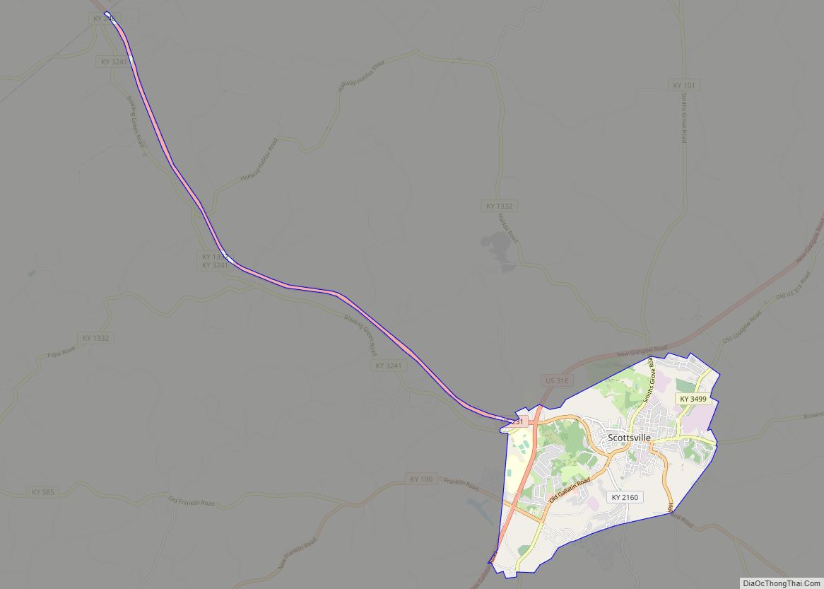
Online Interactive Map
Click on ![]() to view map in "full screen" mode.
to view map in "full screen" mode.
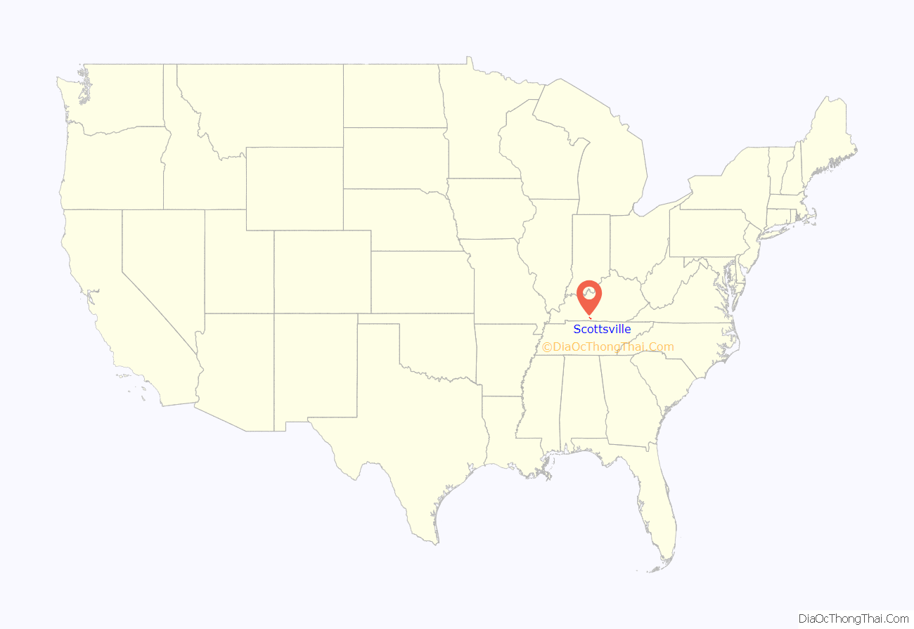
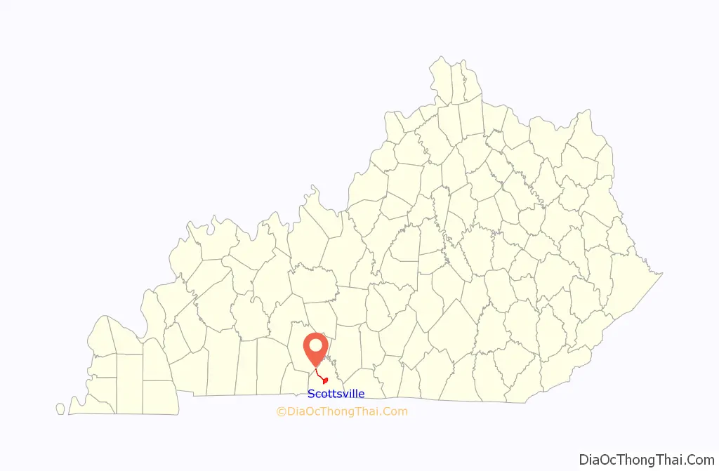
Scottsville location map. Where is Scottsville city?
History
The site along Bays Fork was settled in 1797 and developed into a stagecoach station. The town was laid off in 1816 and established the next year. It was named for Kentucky‘s 4th governor, Charles Scott. In the early 19th century, it was also known as Allen Court House and Scottville.
Scottsville was the birthplace of what would become the Dollar General nationwide chain of 15,000 stores, with J. L. Turner and his son Cal Turner Sr. opening their first department store there in 1945. In 1955, the Turners began to open more stores, and, in 1968, founded Dollar General Corporation or DOLGEN Corp.
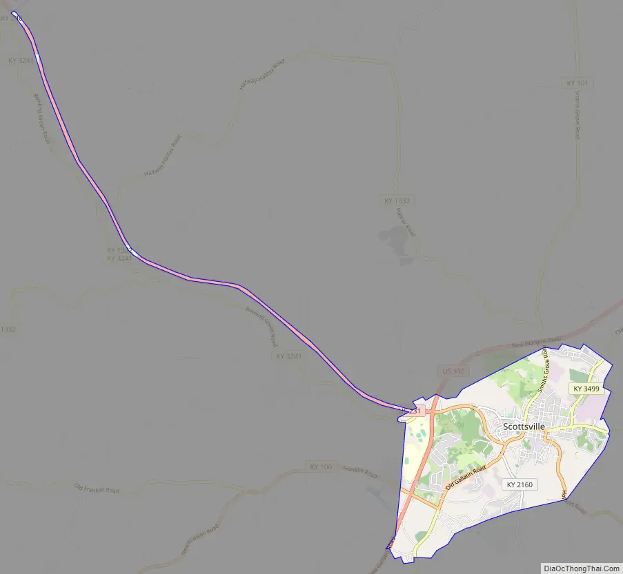
Scottsville Road Map
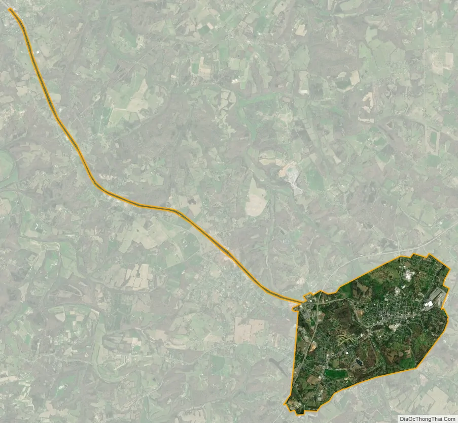
Scottsville city Satellite Map
Geography
Scottsville is located at 36°45′5″N 86°11′34″W / 36.75139°N 86.19278°W / 36.75139; -86.19278 (36.751504, -86.192692). According to the United States Census Bureau, the city has a total area of 5.8 square miles (15 km), all of it land.
See also
Map of Kentucky State and its subdivision:- Adair
- Allen
- Anderson
- Ballard
- Barren
- Bath
- Bell
- Boone
- Bourbon
- Boyd
- Boyle
- Bracken
- Breathitt
- Breckinridge
- Bullitt
- Butler
- Caldwell
- Calloway
- Campbell
- Carlisle
- Carroll
- Carter
- Casey
- Christian
- Clark
- Clay
- Clinton
- Crittenden
- Cumberland
- Daviess
- Edmonson
- Elliott
- Estill
- Fayette
- Fleming
- Floyd
- Franklin
- Fulton
- Gallatin
- Garrard
- Grant
- Graves
- Grayson
- Green
- Greenup
- Hancock
- Hardin
- Harlan
- Harrison
- Hart
- Henderson
- Henry
- Hickman
- Hopkins
- Jackson
- Jefferson
- Jessamine
- Johnson
- Kenton
- Knott
- Knox
- Larue
- Laurel
- Lawrence
- Lee
- Leslie
- Letcher
- Lewis
- Lincoln
- Livingston
- Logan
- Lyon
- Madison
- Magoffin
- Marion
- Marshall
- Martin
- Mason
- McCracken
- McCreary
- McLean
- Meade
- Menifee
- Mercer
- Metcalfe
- Monroe
- Montgomery
- Morgan
- Muhlenberg
- Nelson
- Nicholas
- Ohio
- Oldham
- Owen
- Owsley
- Pendleton
- Perry
- Pike
- Powell
- Pulaski
- Robertson
- Rockcastle
- Rowan
- Russell
- Scott
- Shelby
- Simpson
- Spencer
- Taylor
- Todd
- Trigg
- Trimble
- Union
- Warren
- Washington
- Wayne
- Webster
- Whitley
- Wolfe
- Woodford
- Alabama
- Alaska
- Arizona
- Arkansas
- California
- Colorado
- Connecticut
- Delaware
- District of Columbia
- Florida
- Georgia
- Hawaii
- Idaho
- Illinois
- Indiana
- Iowa
- Kansas
- Kentucky
- Louisiana
- Maine
- Maryland
- Massachusetts
- Michigan
- Minnesota
- Mississippi
- Missouri
- Montana
- Nebraska
- Nevada
- New Hampshire
- New Jersey
- New Mexico
- New York
- North Carolina
- North Dakota
- Ohio
- Oklahoma
- Oregon
- Pennsylvania
- Rhode Island
- South Carolina
- South Dakota
- Tennessee
- Texas
- Utah
- Vermont
- Virginia
- Washington
- West Virginia
- Wisconsin
- Wyoming