Bourbon County is a county located in the U.S. state of Kentucky. As of the 2020 census, the population was 20,252. Its county seat is Paris. Bourbon County is part of the Lexington–Fayette, KY Metropolitan Statistical Area. It is one of Kentucky’s nine original counties, and is best known for its historical association with bourbon whiskey.
| Name: | Bourbon County |
|---|---|
| FIPS code: | 21-017 |
| State: | Kentucky |
| Founded: | 1785 |
| Named for: | House of Bourbon |
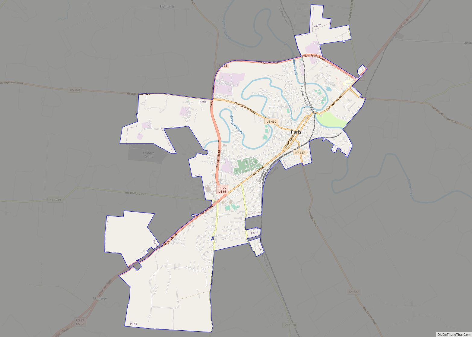
| Seat: | Paris |
| Largest city: | Paris |
| Total Area: | 292 sq mi (760 km²) |
| Land Area: | 290 sq mi (800 km²) |
| Total Population: | 20,252 |
| Population Density: | 69/sq mi (27/km²) |
| Time zone: | UTC−5 (Eastern) |
| Summer Time Zone (DST): | UTC−4 (EDT) |
| Website: | www.bourbonky.com |
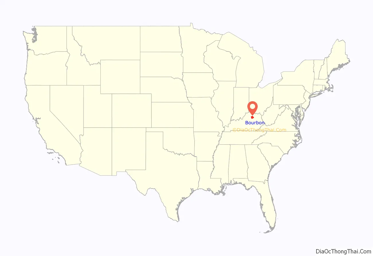
Bourbon County location map. Where is Bourbon County?
History
Old Bourbon
Bourbon County was established in 1785 from a portion of Fayette County, Virginia, and named after the French House of Bourbon, in gratitude for Louis XVI of France’s assistance during the American Revolutionary War.
Bourbon County, Virginia, originally comprised 34 of Kentucky’s 120 current ones, including the current Bourbon County. This larger area later became known as Old Bourbon. Bourbon became part of the new state of Kentucky when it was admitted to the Union in 1792.
Birthplace of Bourbon whiskey
Whiskey was an early product of the area, and whiskey barrels from the area were marked Old Bourbon when they were shipped downriver from the local port on the Ohio River. As it was made mostly from corn (maize), it had a distinctive flavor, and the name bourbon came to be used to distinguish it from other regional whiskey styles, such as Monongahela, a product of western Pennsylvania, which may have generally been a rye whiskey. The use of the term Old in the phrase Old Bourbon, was likely misconstrued as a reference to the aging of the whiskey rather than part of the name of the geographic area. The port, originally known as Limestone, now Maysville, was in Bourbon County until the borders were redrawn in 1789 when it became part of the Mason County of Virginia, and it is now in Mason County, Kentucky. Thirty-four modern Kentucky counties were once part of the original Bourbon County, including the current county of that name.
Except for a few distilleries that were authorized to produce it for medicinal purposes, the bourbon industry was wiped out in 1919 when Prohibition took effect. Kentucky adopted prohibition a year earlier than the national prohibition. Within the boundaries of Bourbon County as it stands today there were, by some counts, 26 distilleries. All of these were shut down in 1919, and no distilleries resumed operation there until late 2014, a period of 95 years. At present, alcohol production and sales in Kentucky are regulated by a patchwork of laws which the Kentucky Supreme Court called a “maze of obscure statutory language”.
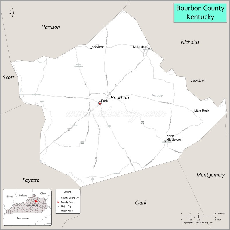
Courthouse
The courthouse was destroyed by fire in 1872 and 1901, resulting in the loss of county records. The current courthouse is the county’s fourth.
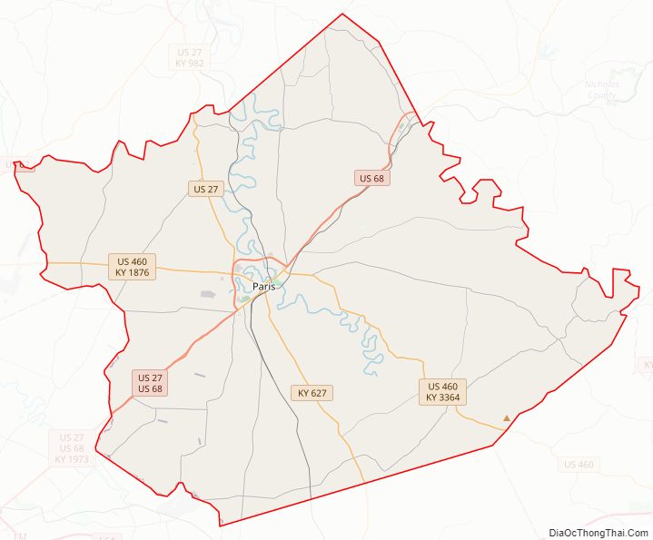
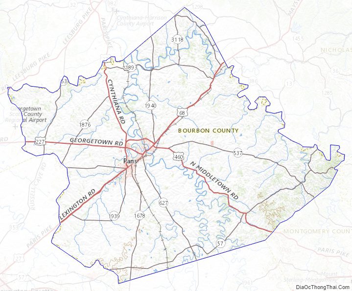
Bourbon County Road Map
Geography
According to the United States Census Bureau, the county has a total area of 292 square miles (760 km), of which 290 square miles (750 km) is land and 1.9 square miles (4.9 km) (0.6%) is water.
There are no sizable lakes in the county, although there are several streams. Primary among these is Stoner Creek, on which the county seat is situated. This large stream is a principal tributary of the South Fork of the Licking River.
The county’s topography is predominantly gently rolling hills. Due to agricultural development, very little of the county’s land area can be characterized as forested, though deciduous trees are a common feature of the landscape.
Adjacent counties
- Harrison County (northwest)
- Nicholas County (northeast)
- Bath County (east)
- Montgomery County (southeast)
- Clark County (south)
- Fayette County (southwest)
- Scott County (west)
Bourbon County Topographic Map
Bourbon County Satellite Map

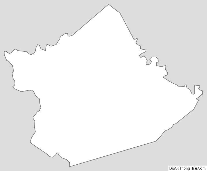
Bourbon County Outline Map