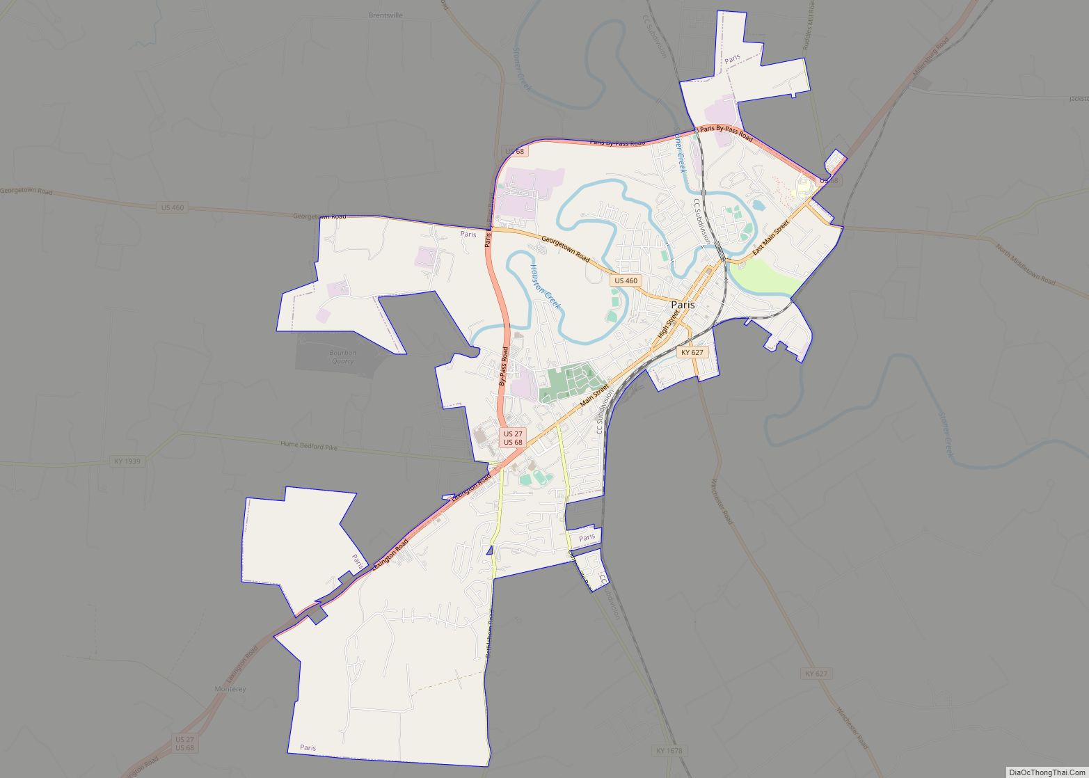
Paris is a home rule-class city in Bourbon County, Kentucky. It lies 18 miles (29 km) northeast of Lexington on the Stoner Fork of the Licking River. Paris is the seat of its county and forms part of the Lexington–Fayette Metropolitan Statistical Area. As of 2020, it had a population of 10,171.
| Name: | Paris city |
|---|---|
| LSAD Code: | 25 |
| LSAD Description: | city (suffix) |
| State: | Kentucky |
| County: | Bourbon County |
| Incorporated: | 1839 |
| Elevation: | 843 ft (257 m) |
| Total Area: | 8.00 sq mi (20.72 km²) |
| Land Area: | 7.95 sq mi (20.58 km²) |
| Water Area: | 0.05 sq mi (0.13 km²) |
| Total Population: | 10,171 |
| Population Density: | 1,279.85/sq mi (494.18/km²) |
| ZIP code: | 40361-40362 |
| Area code: | 859 |
| FIPS code: | 2159196 |
| GNISfeature ID: | 0500172 |
| Website: | paris.ky.gov |
Online Interactive Map
Click on ![]() to view map in "full screen" mode.
to view map in "full screen" mode.
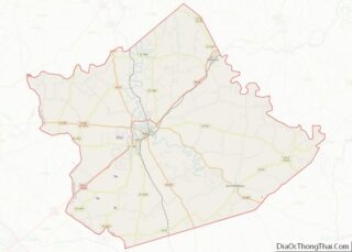
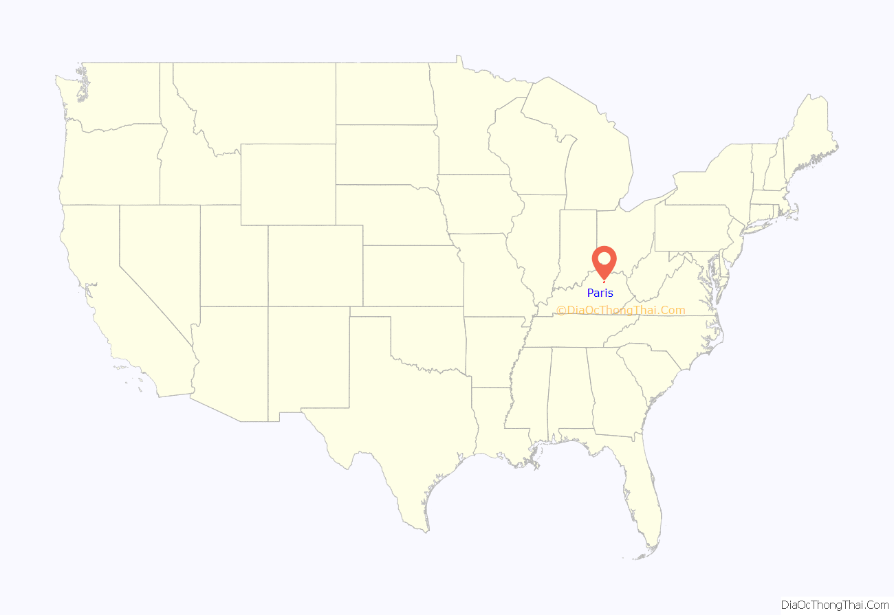
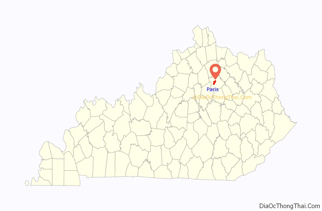
Paris location map. Where is Paris city?
History
Joseph Houston settled a station in the area in 1776, but was forced to relocate due to prior land grants. In 1786, Lawrence Protzman purchased the area of present-day Paris from its owners, platted 250 acres (100 ha) for a town, and offered land for public buildings in exchange for the Virginia legislature making the settlement the seat of the newly formed Bourbon County. In 1789, the town was formally established as Hopewell after Hopewell, New Jersey, his hometown. The next year, it was renamed Paris after the French capital to match its county and honor the French assistance during the American Revolution.
Among the early settlers in the late 18th and early 19th centuries were French refugees who had fled the excesses of their own revolution. One Frenchman was noted in a 19th-century state history as having come from Calcutta, via Bengal, and settled here as a schoolteacher.
The post office was briefly known as Bourbontown or Bourbonton in the early 19th century, but there is no evidence that this name was ever formally applied to the town itself. It was incorporated as Paris in 1839 and again in 1890.
Paris is the “sister city” of Lamotte-Beuvron in France.
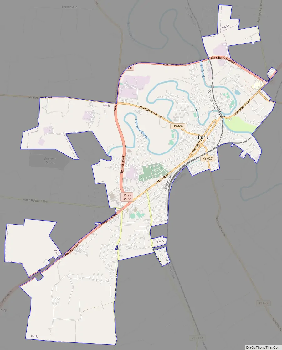
Paris Road Map
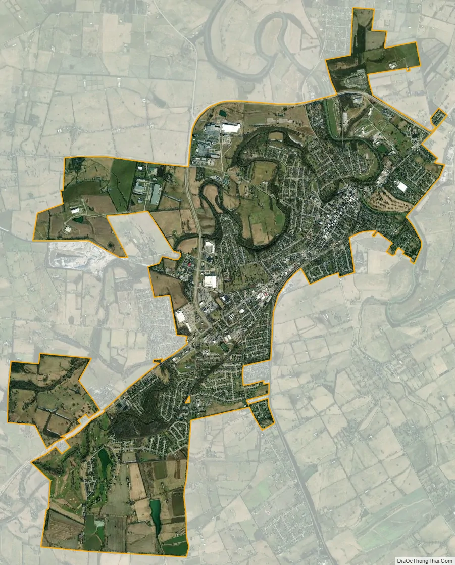
Paris city Satellite Map
Geography
According to the United States Census Bureau, the city has a total area of 6.0 square miles (15.5 km), of which 5.9 square miles (15.4 km) is land and 0.04 square miles (0.1 km), or 0.52%, is water.
See also
Map of Kentucky State and its subdivision:- Adair
- Allen
- Anderson
- Ballard
- Barren
- Bath
- Bell
- Boone
- Bourbon
- Boyd
- Boyle
- Bracken
- Breathitt
- Breckinridge
- Bullitt
- Butler
- Caldwell
- Calloway
- Campbell
- Carlisle
- Carroll
- Carter
- Casey
- Christian
- Clark
- Clay
- Clinton
- Crittenden
- Cumberland
- Daviess
- Edmonson
- Elliott
- Estill
- Fayette
- Fleming
- Floyd
- Franklin
- Fulton
- Gallatin
- Garrard
- Grant
- Graves
- Grayson
- Green
- Greenup
- Hancock
- Hardin
- Harlan
- Harrison
- Hart
- Henderson
- Henry
- Hickman
- Hopkins
- Jackson
- Jefferson
- Jessamine
- Johnson
- Kenton
- Knott
- Knox
- Larue
- Laurel
- Lawrence
- Lee
- Leslie
- Letcher
- Lewis
- Lincoln
- Livingston
- Logan
- Lyon
- Madison
- Magoffin
- Marion
- Marshall
- Martin
- Mason
- McCracken
- McCreary
- McLean
- Meade
- Menifee
- Mercer
- Metcalfe
- Monroe
- Montgomery
- Morgan
- Muhlenberg
- Nelson
- Nicholas
- Ohio
- Oldham
- Owen
- Owsley
- Pendleton
- Perry
- Pike
- Powell
- Pulaski
- Robertson
- Rockcastle
- Rowan
- Russell
- Scott
- Shelby
- Simpson
- Spencer
- Taylor
- Todd
- Trigg
- Trimble
- Union
- Warren
- Washington
- Wayne
- Webster
- Whitley
- Wolfe
- Woodford
- Alabama
- Alaska
- Arizona
- Arkansas
- California
- Colorado
- Connecticut
- Delaware
- District of Columbia
- Florida
- Georgia
- Hawaii
- Idaho
- Illinois
- Indiana
- Iowa
- Kansas
- Kentucky
- Louisiana
- Maine
- Maryland
- Massachusetts
- Michigan
- Minnesota
- Mississippi
- Missouri
- Montana
- Nebraska
- Nevada
- New Hampshire
- New Jersey
- New Mexico
- New York
- North Carolina
- North Dakota
- Ohio
- Oklahoma
- Oregon
- Pennsylvania
- Rhode Island
- South Carolina
- South Dakota
- Tennessee
- Texas
- Utah
- Vermont
- Virginia
- Washington
- West Virginia
- Wisconsin
- Wyoming